Stanfords
United Kingdom
United Kingdom
- Öland
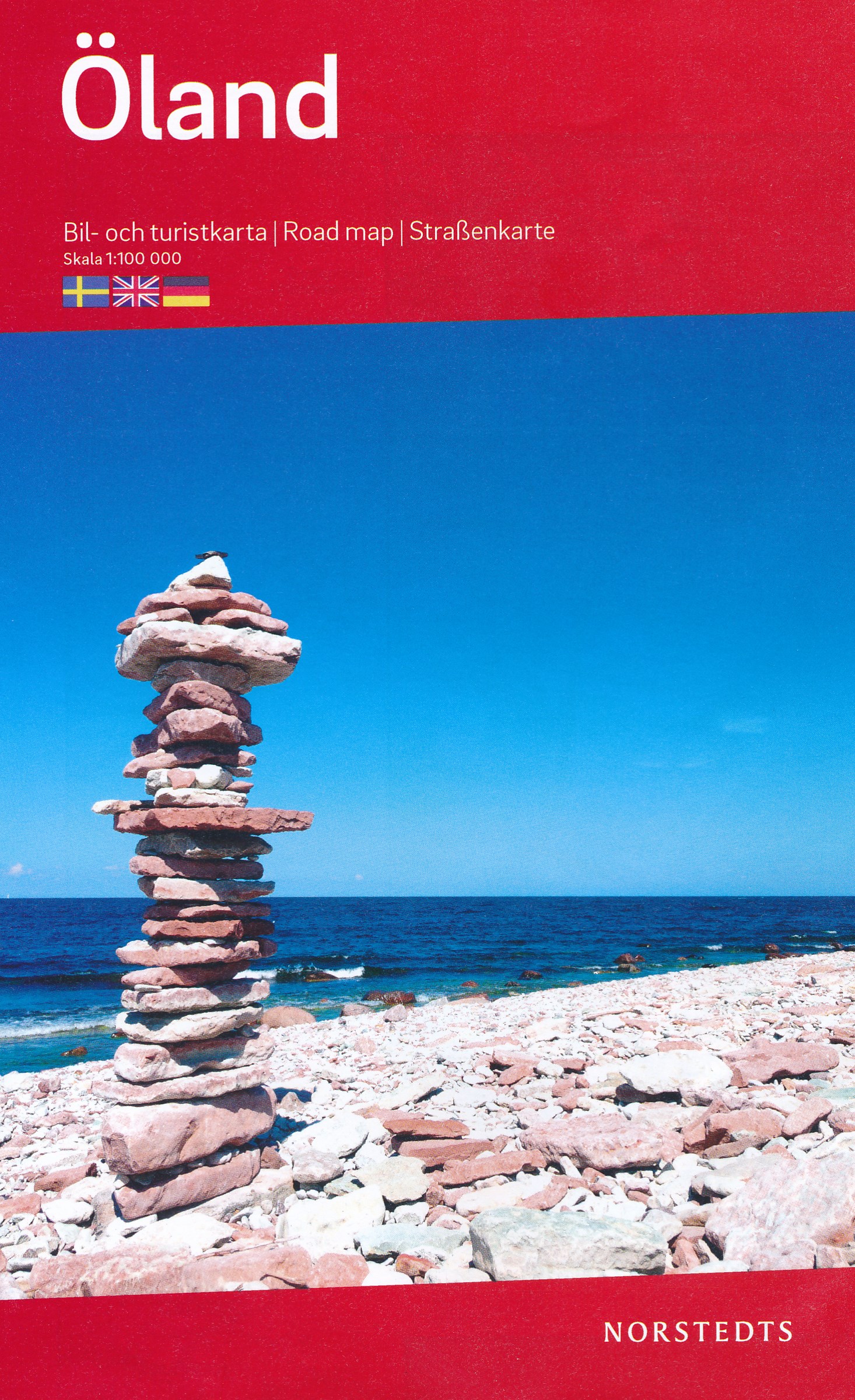
- The Swedish island of Öland on a detailed road map 1:100,000 from Norstedts, highlighting 51 places of interest, plus street plans of Borgholm and the mainland town of Kalmar, and an enlargement for road access to the island from Kalmar to Fäejestaden.On one side is a road map of Öland showing its road network and waymarked cycling and hiking... Read more
- Also available from:
- De Zwerver, Netherlands
De Zwerver
Netherlands
Netherlands
- Wegenkaart - landkaart Öland | Norstedts
- The Swedish island of Öland on a detailed road map 1:100,000 from Norstedts, highlighting 51 places of interest, plus street plans of Borgholm and the mainland town of Kalmar, and an enlargement for road access to the island from Kalmar to Fäejestaden.On one side is a road map of Öland showing its road network and waymarked cycling and hiking... Read more