Stanfords
United Kingdom
- Goms - Aletsch
- Goms - Aletsch area of the Bernese Oberland at 1:50,000 in a series from Hallwag covering Switzerland’s popular hiking regions on light, waterproof and tear-resistant maps highlighting long-distance paths: the nine national routes plus special regional routes, as well as other local hiking trails.Cartography is similar to that used both in... Read more

Stanfords
United Kingdom
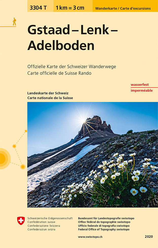
- Gstaad - Lenk - Adelboden Swisstopo Hiking 3304T
- Gstaad - Lenk - Adelboden area of the western Bernese Oberland at 1:33,333 on light, waterproof and tear-resistant map No. 3304T published by Swisstopo in cooperation with the Swiss Hiking Federation. Cartography is the same as in Swisstopo’s 50K hiking maps, simply enlarged to 1:33,333 for extra clarity but without additional information.... Read more

Stanfords
United Kingdom
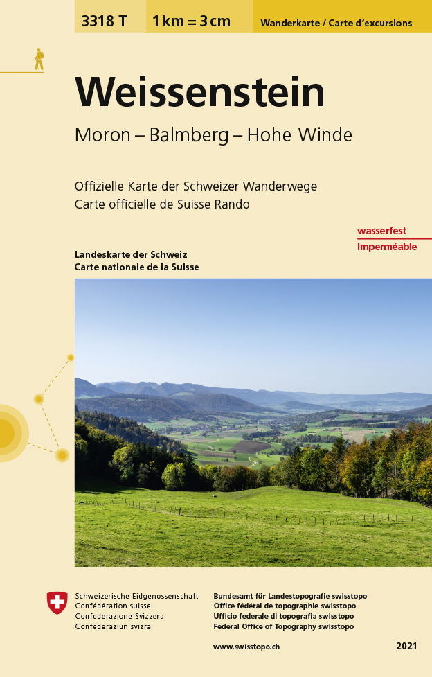
- Weissenstein - Moron - Balmberg - Hohe Winde Swisstopo Hiking 3318T
- Weissenstein area at 1:33,333 on light, waterproof and tear-resistant map No. 3318T published by Swisstopo in cooperation with the Swiss Hiking Federation. Cartography is the same as in Swisstopo’s 50K hiking maps, simply enlarged to 1:33,333 for extra clarity but without additional information. 1:33,333 editions of Swisstopo’s hiking maps have... Read more
De Zwerver
Netherlands
- Wandelkaart - Topografische kaart 3318T Weissenstein | Swisstopo
- Een nieuwe serie van de Zwitserse topografische dienst: eindelijk goede wandelkaarten met ingetekende wandelroutes op scheur- en watervast papier. Vooralsnog zijn ze uitgebracht van de populaire wandelgebieden en niet landelijk dekkend (zie overzicht) Op een gedetailleerde schaal van 1:33.333 met als ondergrond de onovertroffen topografische... Read more

Stanfords
United Kingdom
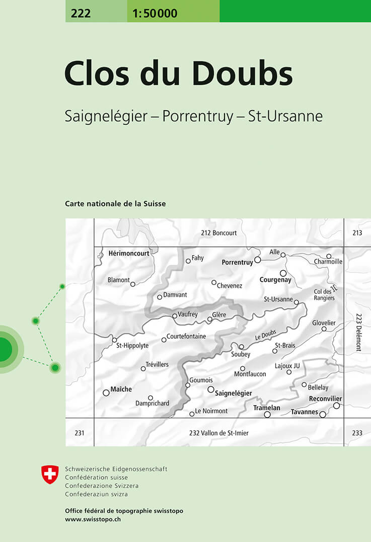
- Clos du Doubs Swisstopo 222
- Clos du Doubs, map No. 222, in the standard topographic survey of Switzerland at 1:50,000 from Swisstopo, i.e. without the special overprint highlighting walking trails, local bus stops, etc, presented in Swisstopo’s hiking editions of the 50K survey. The map covers mainly the German side of the border.Highly regarded for their superb use of... Read more

Stanfords
United Kingdom
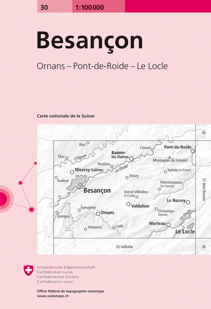
- Besançon Swisstopo 30
- Swiss topographic survey at 1:100,000 from Swisstopo, highly regarded for it superb use of graphic relief and hill shading, presenting an almost 3-D picture of the country`s mountainous terrain. Coverage is available either as small size standard sheets – Nos 26 to 48, each covering 70 x 48 km / 43 x 30 miles approx, or as larger size maps -... Read more

Stanfords
United Kingdom
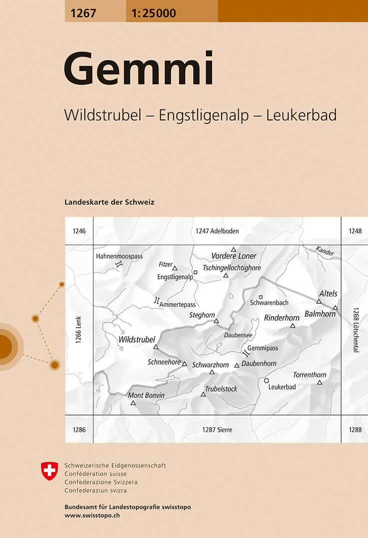
- Gemmi Swisstopo 1267
- Map No. 1267, Gemmi, in the topographic survey of Switzerland at 1:25,000 from Bundesamt für Landestopographie (swisstopo), covering the whole country on 247 small format sheets, with special larger maps published for popular regions including some titles now available in hiking versions.Highly regarded for their superb use of graphic relief... Read more

Stanfords
United Kingdom
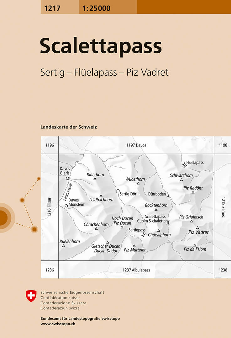
- Scalettapass Swisstopo 1217
- Map No. 1217, Scalettapass, in the topographic survey of Switzerland at 1:25,000 from Bundesamt für Landestopographie (swisstopo), covering the whole country on 247 small format sheets, with special larger maps published for popular regions including some titles now available in hiking versions.Highly regarded for their superb use of graphic... Read more

Stanfords
United Kingdom
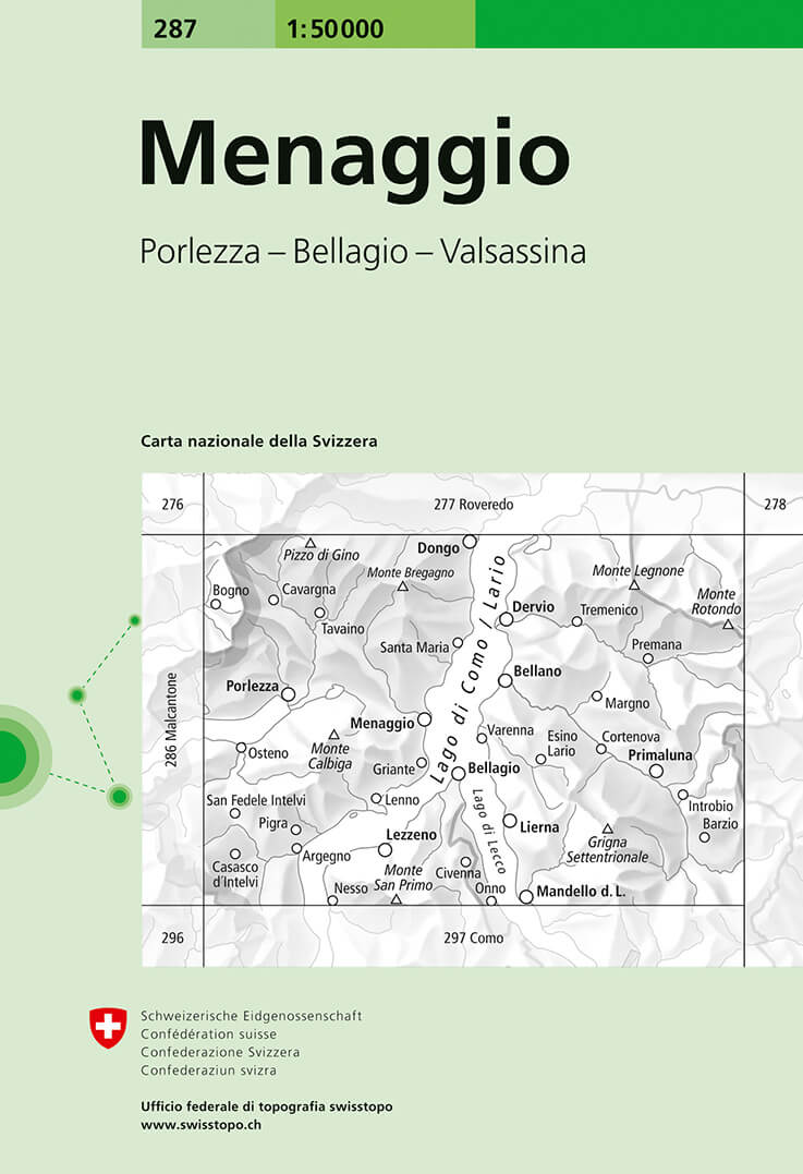
- Menaggio Swisstopo 287
- Menaggio, map No. 287, in the standard topographic survey of Switzerland at 1:50,000 from Swisstopo, i.e. without the special overprint highlighting walking trails, local bus stops, etc, presented in Swisstopo’s hiking editions of the 50K survey. The map covers mainly the Italian side of the border, with only a small part of Switzerland shown... Read more

Stanfords
United Kingdom
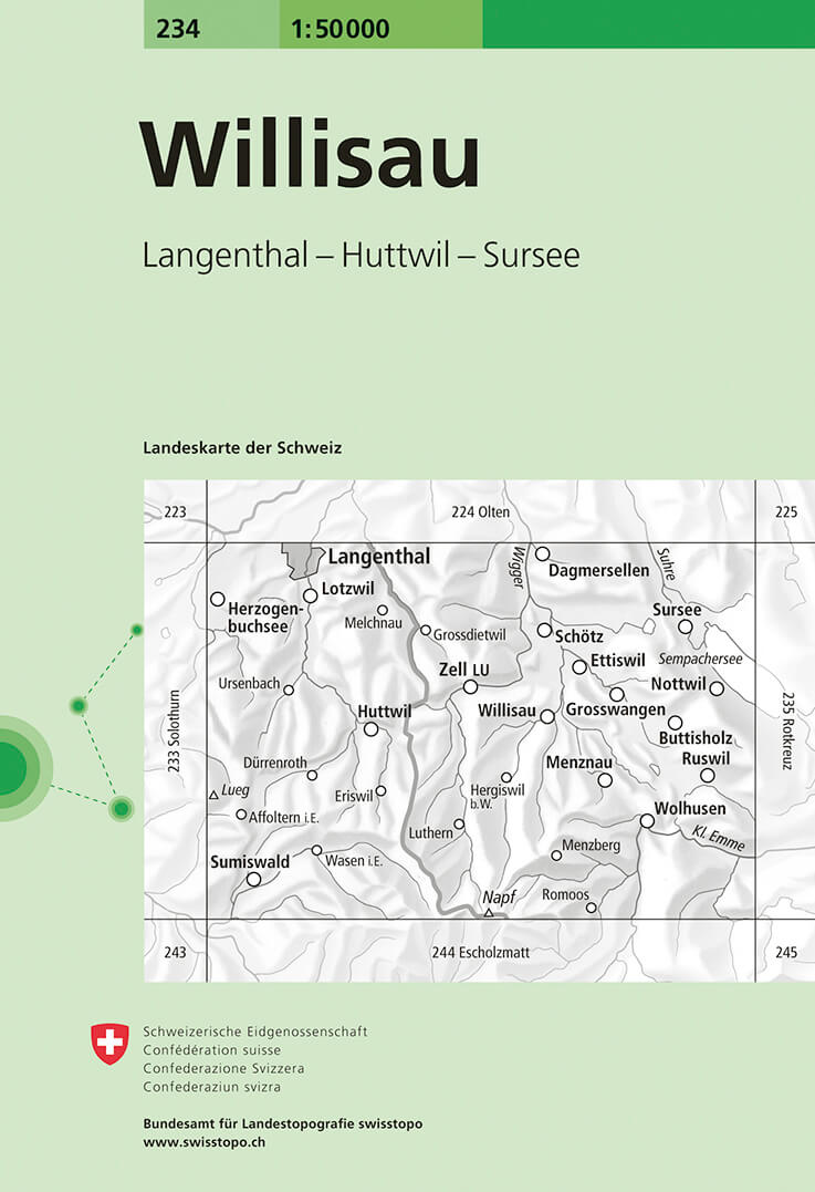
- Willisau Swisstopo 234
- Willisau, map No. 234, in the standard topographic survey of Switzerland at 1:50,000 from Swisstopo, i.e. without the special overprint highlighting walking trails, local bus stops, etc, presented in Swisstopo’s hiking editions of the 50K survey. Highly regarded for their superb use of graphic relief and hill shading, the maps give an almost... Read more
Stanfords
United Kingdom
- Chasseral
- Chasseral - Bieler See area of the Swiss Jura at 1:50,000 in a series from Hallwag covering Switzerland’s popular hiking regions on light, waterproof and tear-resistant maps highlighting long-distance paths: the nine national routes plus special regional routes, as well as other local hiking trails.Cartography is similar to that used both in... Read more

Stanfords
United Kingdom
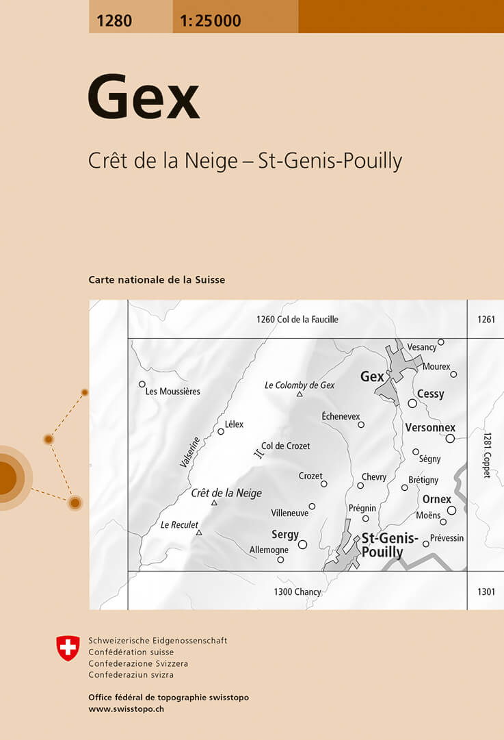
- Gex Swisstopo 1280
- Map No. 1280, Gex, in the topographic survey of Switzerland at 1:25,000 from Bundesamt für Landestopographie (swisstopo), covering the whole country on 247 small format sheets, with special larger maps published for popular regions including some titles now available in hiking versions.Highly regarded for their superb use of graphic relief and... Read more

Stanfords
United Kingdom
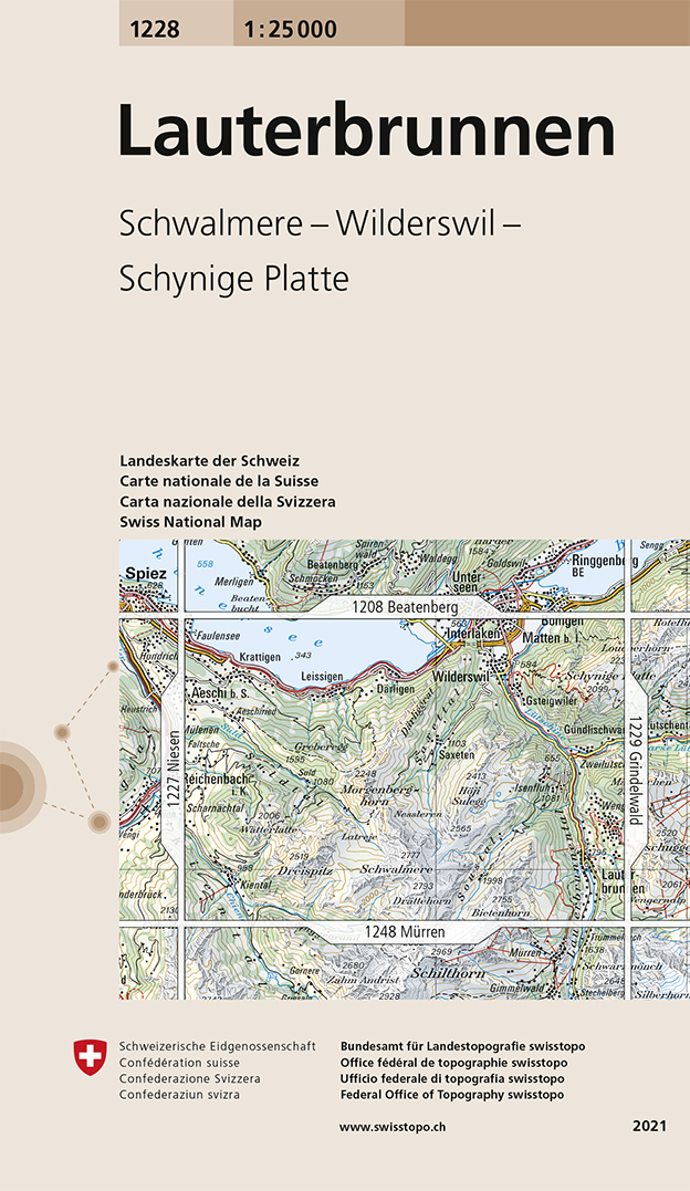
- Lauterbrunnen Swisstopo 1228
- Map No. 1228, Lauterbrunnen, in the topographic survey of Switzerland at 1:25,000 from Swisstopo. Coverage includes Interlaken with the southern part of the Thunersee and the area south of it with Wengen, Wilderswil, and the peaks of Schynige Platte and Schalmere.Swiss topographic survey at 1:25,000 covers the whole country on 247 small format... Read more
De Zwerver
Netherlands
- Wandelkaart - Topografische kaart 1228 Lauterbrunnen | Swisstopo
- Map No. 1228, Lauterbrunnen, in the topographic survey of Switzerland at 1:25,000 from Swisstopo. Coverage includes Interlaken with the southern part of the Thunersee and the area south of it with Wengen, Wilderswil, and the peaks of Schynige Platte and Schalmere.Swiss topographic survey at 1:25,000 covers the whole country on 247 small format... Read more

Stanfords
United Kingdom
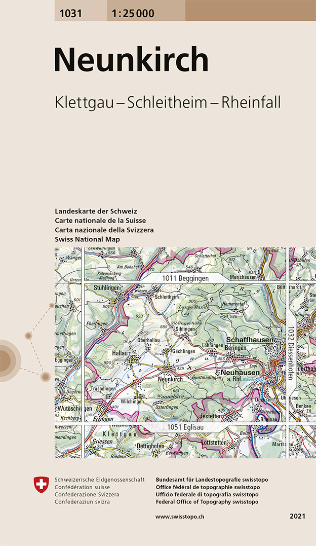
- Neunkirch Swisstopo 1031
- Map No. 1031, Neunkirch, in the topographic survey of Switzerland at 1:25,000 from Bundesamt für Landestopographie (swisstopo), covering the whole country on 247 small format sheets, with special larger maps published for popular regions including some titles now available in hiking versions.Highly regarded for their superb use of graphic... Read more
Stanfords
United Kingdom
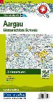
- Aargau - Wasserschloss Schweiz K+F Hiking 10
- 33 specially selected hiking trails in the Aargau - Jurapark area of Switzerland west of Zurich, presented at 1:50,000 on a waterproof and tear-resistant, contoured and GPS compatible map from the Hallwag/Kümmerly + Frey group, with route profiles, grading for the severity of the terrain and the degree of fitness required, etc.The cartography... Read more

Stanfords
United Kingdom
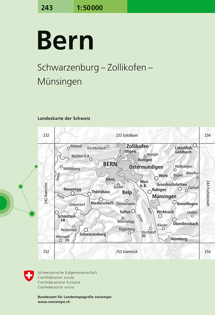
- Bern Swisstopo 243
- Bern, map No. 243, in the standard topographic survey of Switzerland at 1:50,000 from Swisstopo, i.e. without the special overprint highlighting walking trails, local bus stops, etc, presented in Swisstopo’s hiking editions of the 50K survey. Highly regarded for their superb use of graphic relief and hill shading, the maps give an almost 3-D... Read more