
Mieminger Kette
Description
The Mieminger Kette is a small area in the southern part of the Wettersteingebirge, which forms the border with Germany. Looking up from the Inn Valley to the north, one can admire the looming rock massifs. Inaccessible these mountains may seem, it is possible to hike to one of the popular peaks, the Hohe Munde (2661 m). The highest point of this limestone range is the Östlichte Griesspitze (2759 m).
Map


Trails in this region
Links
Facts
Reports
Guides and maps
Lodging
Organisations
Tour operators
GPS
Other
Books


Bol.com
Netherlands
2014
Netherlands
2014
- Walking in the Bavarian Alps
- Guidebook describing a both valley and mountain walks and treks in the Bavarian Alps. 85 walks are covered, including graded mountain routes, gentler valley walks, hut-to-hut routes and two multi-day tours, arranged by region with practical information on transport, accommodation and the like. Since the last edition of this guide many of the... Read more
- Also available from:
- Bol.com, Belgium
Bol.com
Belgium
2014
Belgium
2014
- Walking in the Bavarian Alps
- Guidebook describing a both valley and mountain walks and treks in the Bavarian Alps. 85 walks are covered, including graded mountain routes, gentler valley walks, hut-to-hut routes and two multi-day tours, arranged by region with practical information on transport, accommodation and the like. Since the last edition of this guide many of the... Read more

De Zwerver
Netherlands
2021
Netherlands
2021
- Wandelgids Adlerweg - Adelaarsweg | Rother Bergverlag
- De Rother wandelgidsen beschrijven zeer goed de wandelingen in specifieke gebieden. In de gids vindt men kaarten, routebeschrijvingen en de nodige praktische informatie om van de wandelingen/trekkings een geslaagde onderneming te maken. 31 Höhenprofile; 32 Wanderkärtchen im Maßstab 1:75.000, zwei Übersichtskarten; GPS-Tracks zum Download »Auf... Read more

Bol.com
Netherlands
Netherlands
- Over the Top & Back Again
- Book of the Year Bronze Award 2010 (travel essays category), ForeWord Magazine After hiking some of the world's great trails, Brandon Wilson was excited to hear about the Via Alpina, paths running across eight countries on the backbone of the Alps. Besides promising immersion into Alpine life and wilderness, it was the ultimate adventure. It... Read more
- Also available from:
- Bol.com, Belgium
Bol.com
Belgium
Belgium
- Over the Top & Back Again
- Book of the Year Bronze Award 2010 (travel essays category), ForeWord Magazine After hiking some of the world's great trails, Brandon Wilson was excited to hear about the Via Alpina, paths running across eight countries on the backbone of the Alps. Besides promising immersion into Alpine life and wilderness, it was the ultimate adventure. It... Read more


Bol.com
Netherlands
2017
Netherlands
2017
- Griechenland: Trans Kreta E4
- Kein Geheimtipp und dennoch etwas in Vergessenheit geraten ist das ber 500 km lange Teilst ck des europ ischen Fernwanderweges E4 auf Kreta. Bereits seit den 1970er-Jahren geh rt dieser Abschnitt zu einem der beliebtesten des l ngsten europ ischen Fernwanderweges und ist somit ein echter Trekkingklassiker.Wer gut markierte Pfade und verl... Read more
- Also available from:
- Bol.com, Belgium
- De Zwerver, Netherlands
Bol.com
Belgium
2017
Belgium
2017
- Griechenland: Trans Kreta E4
- Kein Geheimtipp und dennoch etwas in Vergessenheit geraten ist das ber 500 km lange Teilst ck des europ ischen Fernwanderweges E4 auf Kreta. Bereits seit den 1970er-Jahren geh rt dieser Abschnitt zu einem der beliebtesten des l ngsten europ ischen Fernwanderweges und ist somit ein echter Trekkingklassiker.Wer gut markierte Pfade und verl... Read more

De Zwerver
Netherlands
2017
Netherlands
2017
- Wandelgids E4 Kreta Lefka Ori und Lasithi | Conrad Stein Verlag
- OutdoorHandbuch. 3. Auflage. Read more
Bol.com
Netherlands
Netherlands
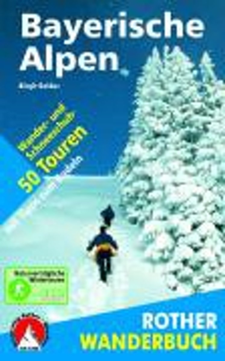
- Winterwandern Bayerische Alpen
- Die Bayerischen Alpen, beliebtes Ausflugsziel im Sommer, bieten auch im Winter zahlreiche M glichkeiten, in den Bergen unterwegs zu sein. Auch ohne die "langen Latten" an den F en kann man dabei jede Menge Spa haben. Frisch verschneite W lder, Gipfelstunden mit verbl ffender Fernsicht, behagliche H tten und Almen sowie rasante Rodelbahnen... Read more
- Also available from:
- Bol.com, Belgium
Bol.com
Belgium
Belgium
- Winterwandern Bayerische Alpen
- Die Bayerischen Alpen, beliebtes Ausflugsziel im Sommer, bieten auch im Winter zahlreiche M glichkeiten, in den Bergen unterwegs zu sein. Auch ohne die "langen Latten" an den F en kann man dabei jede Menge Spa haben. Frisch verschneite W lder, Gipfelstunden mit verbl ffender Fernsicht, behagliche H tten und Almen sowie rasante Rodelbahnen... Read more
De Zwerver
Netherlands
2022
Netherlands
2022
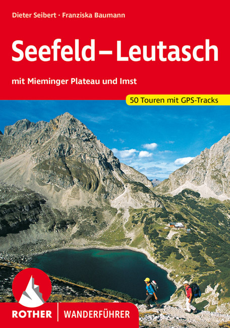
- Wandelgids Seefeld-Leutasch | Rother Bergverlag
- Uitstekende wandelgids met een groot aantal dagtochten in dal en hooggebergte. Met praktische informatie en beperkt kaartmateriaal! Wandelingen in verschillende zwaarte weergegeven in rood/blauw/zwart. Sanftes Almgelände und tosende Wildbäche – überragt von Karwendel, Wetterstein, Mieminger und Lechtaler Bergen – versprechen abwechslungsreiche... Read more

De Zwerver
Netherlands
2011
Netherlands
2011
- Wandelgids Tirol Oberinntal | Rother Bergverlag
- 50 Touren zwischen Innsbruck und Arlberg Rother Wanderbuch. 1. Auflage. Read more

Bol.com
Netherlands
Netherlands
- Wanderland Schweiz 02. Trans Swiss Trail
- Das Wanderland Schweiz besteht aus 6 nationalen Routen und 51 mehrtägigenHighlights. Die Routen basieren auf dem bestehenden Wanderwegnetz und integrierenteilweise bereits bestehende Angebote wie beispielsweise Via Alpina, Jura Höhenweg,Via Jacobi oder Rheintaler Höhenweg.Alle 9 Führer sind mit Farbfotos, Karten und Höhenprofilen farbig reich... Read more
- Also available from:
- Bol.com, Belgium
Bol.com
Belgium
Belgium
- Wanderland Schweiz 02. Trans Swiss Trail
- Das Wanderland Schweiz besteht aus 6 nationalen Routen und 51 mehrtägigenHighlights. Die Routen basieren auf dem bestehenden Wanderwegnetz und integrierenteilweise bereits bestehende Angebote wie beispielsweise Via Alpina, Jura Höhenweg,Via Jacobi oder Rheintaler Höhenweg.Alle 9 Führer sind mit Farbfotos, Karten und Höhenprofilen farbig reich... Read more

Bol.com
Netherlands
2019
Netherlands
2019
- WF5966 Julische Alpen mit Karte Kompass
- De Kompass wandelgids + kaart geeft een overzicht van alle wandelroutes in het gebied met nauwkeurige routeaanwijzingen en hoogteaanduidingen, De extra grote kaart, schaal 1:35 000, is ideaal om van te voren uw route uit te stippelen en om onderweg te gebruiken; naast de bekende bestemmingen, worden ook de minder bekende vermeld; openbaar... Read more
- Also available from:
- Bol.com, Belgium
Bol.com
Belgium
2019
Belgium
2019
- WF5966 Julische Alpen mit Karte Kompass
- De Kompass wandelgids + kaart geeft een overzicht van alle wandelroutes in het gebied met nauwkeurige routeaanwijzingen en hoogteaanduidingen, De extra grote kaart, schaal 1:35 000, is ideaal om van te voren uw route uit te stippelen en om onderweg te gebruiken; naast de bekende bestemmingen, worden ook de minder bekende vermeld; openbaar... Read more
Bol.com
Netherlands
Netherlands
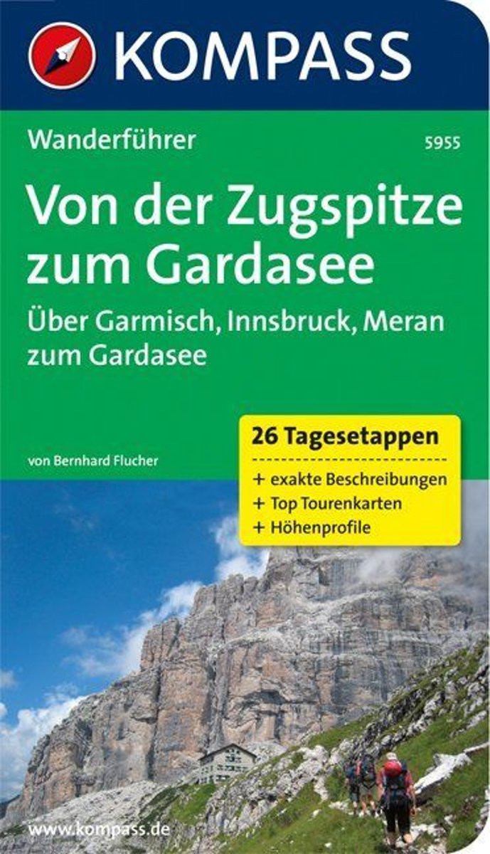
- WF5955 Zugspitze, von der Zugspitze zum Gardasee Kompass
- Die KOMPASS Wanderführer überzeugen durch . nützliche Tourenübersicht zur schnellen Orientierung . übersichtliche und präzise Wegbeschreibungen . XXL Kartenausschnitte für einen großzügigen Überblick . aussagekräftiges Höhenprofil zur einfachen Planung . persönliche Empfehlungen der AutorenDe Kompass wandelgids + kaart geeft een overzicht van... Read more
- Also available from:
- Bol.com, Belgium
Bol.com
Belgium
Belgium
- WF5955 Zugspitze, von der Zugspitze zum Gardasee Kompass
- Die KOMPASS Wanderführer überzeugen durch . nützliche Tourenübersicht zur schnellen Orientierung . übersichtliche und präzise Wegbeschreibungen . XXL Kartenausschnitte für einen großzügigen Überblick . aussagekräftiges Höhenprofil zur einfachen Planung . persönliche Empfehlungen der AutorenDe Kompass wandelgids + kaart geeft een overzicht van... Read more
Bol.com
Netherlands
2018
Netherlands
2018
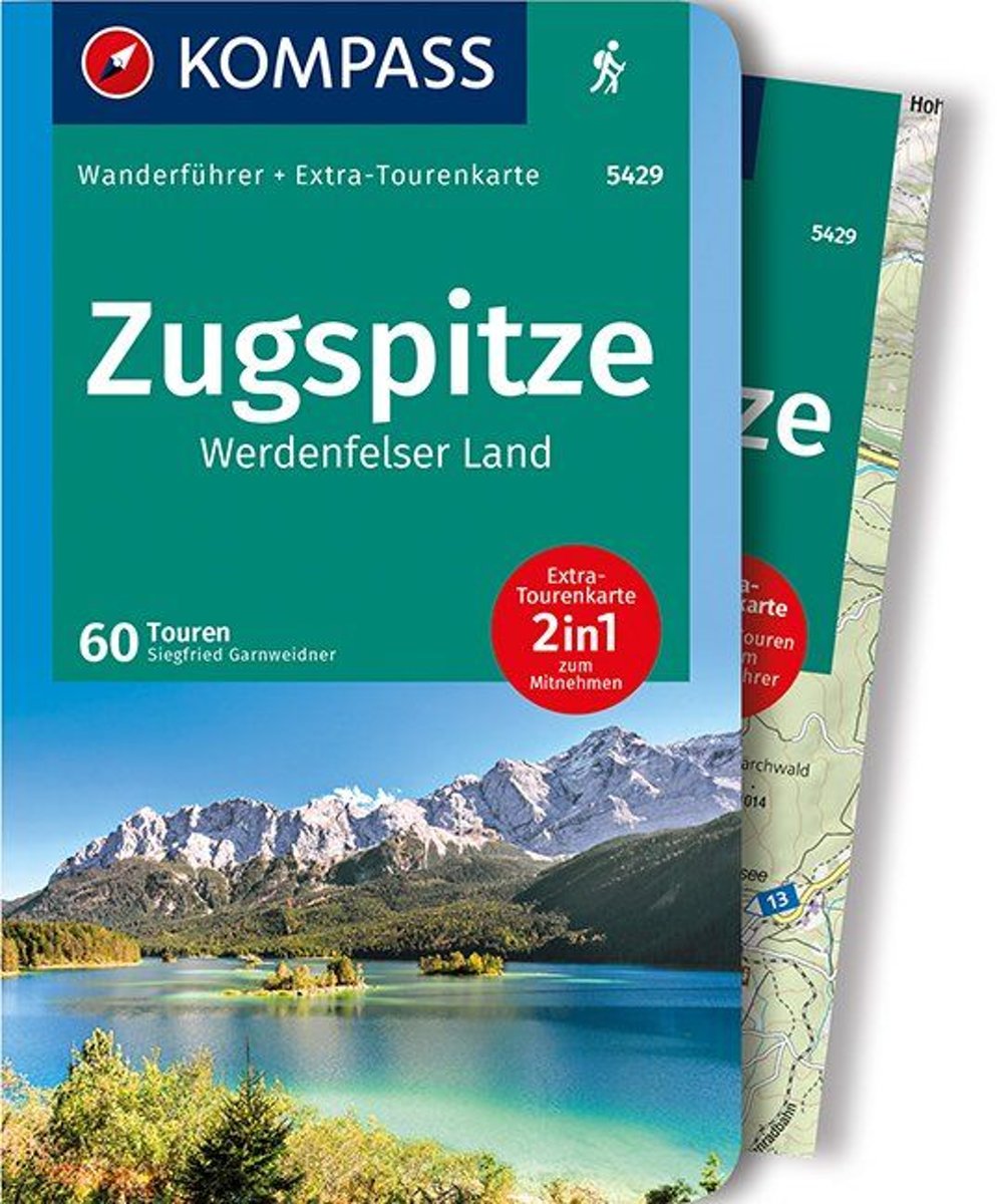
- Zugspitze - Werdenfelser Land
- Die KOMPASS Wanderführer bieten neben spannenden Destinationen und tollen Wandertourenauch viele praktische Tipps und Zusatzinformationen wie z. Bsp. Sehenswürdigkeiten oder Einkehrmöglichkeiten.Alle Touren sind von den jeweiligen Autoren selbst erwandert und enthalten detaillierte Angaben zu Schwierigkeitsgrad, Höhenmetern und Gehzeit.De... Read more
- Also available from:
- Bol.com, Belgium
Bol.com
Belgium
2018
Belgium
2018
- Zugspitze - Werdenfelser Land
- Die KOMPASS Wanderführer bieten neben spannenden Destinationen und tollen Wandertourenauch viele praktische Tipps und Zusatzinformationen wie z. Bsp. Sehenswürdigkeiten oder Einkehrmöglichkeiten.Alle Touren sind von den jeweiligen Autoren selbst erwandert und enthalten detaillierte Angaben zu Schwierigkeitsgrad, Höhenmetern und Gehzeit.De... Read more
Bol.com
Netherlands
Netherlands
- Also available from:
- Bol.com, Belgium
More books…

Maps

Stanfords
United Kingdom
United Kingdom
- Goms - Aletsch
- Goms - Aletsch area of the Bernese Oberland at 1:50,000 in a series from Hallwag covering Switzerland’s popular hiking regions on light, waterproof and tear-resistant maps highlighting long-distance paths: the nine national routes plus special regional routes, as well as other local hiking trails.Cartography is similar to that used both in... Read more

Stanfords
United Kingdom
United Kingdom
- Styrian Winelands - Southwest Styria F&B WK411
- Styrian Winelands area south-eastern Austria presented at 1:50,000 in a series of contoured and GPS compatible outdoor leisure map from Freytag & Berndt with hiking and cycling routes, mountain huts, campsites and youth hostels, local bus stops, plus other tourist information. To see the list of currently available titles in this series please... Read more
Stanfords
United Kingdom
United Kingdom
- Haslital: Grindelwald - Engelberg 50K Hallwag Outdoor Map No. 5
- Haslital area, from Grindelwald to Engelberg, at 1:50,000 in a series from Hallwag covering Switzerland’s popular hiking regions on light, waterproof and tear-resistant maps highlighting long-distance paths: the nine national routes plus special regional routes, as well as other local hiking trails.Cartography is similar to that used both in... Read more

Stanfords
United Kingdom
United Kingdom
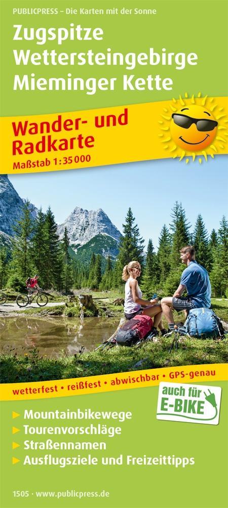
- Zugspitze - Mieminger Kette - Erhwald - Lermoos - Garmisch-Partenkirchen - Reutte Kompass 25
- Zugspitze - Mieminger Kette - Erhwald - Lermoos - Garmisch-Partenkirchen - Reutte (No. 25), a detailed, GPS compatible map at 1:50,000 from Kompass with local and long-distance footpaths, cycling routes, accommodation, etc, printed on durable, waterproof and tear-resistant synthetic paper. KOMPASS HIKING & RECREATIONAL MAPS:This title is part... Read more

Stanfords
United Kingdom
United Kingdom
- Cinque Terre - Golfo del Tigullio: La Spezia - Sestri Levante - Rapallo - Genoa 50K IGC Map No. 23
- Cinque Terre - Golfo del Tigullio area of the Italian Riviera from genoa to la Spezia including Sestri Levante and Rapallo in a series contoured hiking maps at 1:50,000 with local trails, long-distance footpaths, mountain accommodation, etc. from the Turin based Istituto Geografico Centrale.Maps in this series have contours at 50m intervals,... Read more
Stanfords
United Kingdom
United Kingdom
- Montreux
- Montreux - Col du Pillon area at 1:50,000 in a series from Hallwag covering Switzerland’s popular hiking regions on light, waterproof and tear-resistant maps highlighting long-distance paths: the nine national routes plus special regional routes, as well as other local hiking trails.Cartography is similar to that used both in Hallwag’s hiking... Read more

Stanfords
United Kingdom
United Kingdom
- Olympus Geopsis 139
- Mt Olympus in a series of waterproof and tear-resistant hiking maps at scales varying from 1:50,000 to 1:10,000, with a UTM grid for GPS users. Contour interval varies depending on the scale, on most maps it is 20m. Relief shading, spot heights, springs, seasonal streams and, in most titles, landscape/land-use variations, e.g. forests,... Read more

Stanfords
United Kingdom
United Kingdom
- Val Venosta / Vinschgau K+F Outdoor Map 1
- Val Venosta / Vinschgau area in the Dolomites at 1:50,000 in a series of waterproof and tear-resistant, GPS compatible and contoured recreational maps from Kümmerly + Frey with both local and long-distance hiking and cycling trails, ski routes, sites for other outdoor pursuits, accommodation, bus stops, etc. Coverage includes the Ortles/Ortler... Read more

Stanfords
United Kingdom
United Kingdom
- E4 Arquipelago de Cabo Verde
- Plans included:Porto Novo (Ilha de Santo Antão) (1:10 000)Mindelo (Porto Grande) (Ilha de São Vicente) (1:20 000)Ilha de Santa Luzia (1:not known)Porto de Tarrafal (Ilha de São Nicolau) (1:8500)Porto da Preguiça (Ilha de São Nicolau) (1:8500)Baía da Palmeira (Ilha do Sal) (1:15 000)Porto de Sal-Rei (Ilha da Boavista) (1:30 000)Porto da Praia... Read more

Stanfords
United Kingdom
United Kingdom
- Peloponnese Anavasi Road Atlas
- Road Atlas of the Peloponnese from Anavasi, in an A4 paperback format, with contoured, GPS compatible mapping at 1:50,000, very detailed road classification, hiking paths, and place names in both Greek and Latin alphabets.The main section of the atlas has 178 pages of detailed maps with contours at 100m intervals, altitude colouring and relief... Read more

Stanfords
United Kingdom
United Kingdom
- Taygetos - North Taygetos Anavasi 8.1
- The Taygetos range between Sparta and Kalamata at 1:50,000 on a contoured, GPS compatible map from Anavasi with on the reverse a special map highlighting the region’s numerous hiking trails, including the course of the E4 European long-distance path.On one side is the main map of the area with excellent presentation of its topography by... Read more

Stanfords
United Kingdom
United Kingdom
- Greece: Attika and Central Greece Road Atlas
- Road Atlas of Attika, the region around Athens, and Central Greece from Anavasi, in an A4 paperback format, with contoured mapping at 1:50,000, a 2km UTM grid for GPS users, very detailed road classification, hiking paths, and place names in both Greek and Latin alphabets.The main section of the atlas has 219 pages of detailed maps with... Read more

Stanfords
United Kingdom
United Kingdom
- Lake Maggiore - Lake Orta - Lake Varese K+F Outdoor Map 8
- Lake Maggiore - Lake Orta - Lake Varese area at 1:50,000 in a series of waterproof and tear-resistant, GPS compatible and contoured recreational maps from Kümmerly + Frey with both local and long-distance hiking and cycling trails, ski routes, sites for other outdoor pursuits, accommodation, bus stops, etc. An inset provides a small road map of... Read more

Stanfords
United Kingdom
United Kingdom
- Lake Como K+F Outdoor Map 9
- Lake Como area at 1:50,000 on a double-sided, waterproof and tear-resistant, GPS compatible and contoured recreational maps from Kümmerly + Frey with both local and long-distance hiking and cycling trails, ski routes, sites for other outdoor pursuits, accommodation, bus stops, etc. Coverage includes the northern part of Lake Lugano and extends... Read more
Stanfords
United Kingdom
United Kingdom
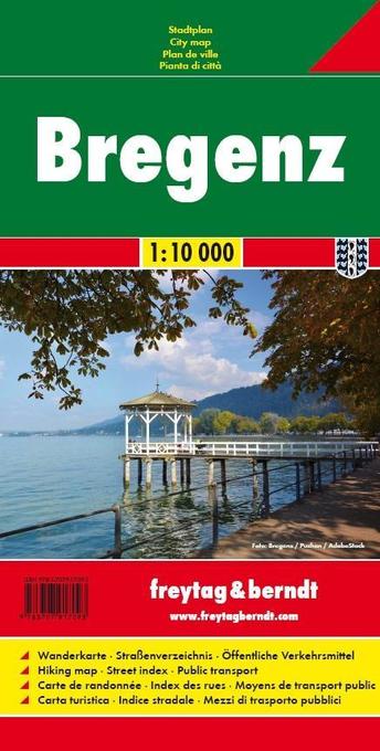
- Bregenz F&B
- Indexed street plan of Bregenz extending north along the Bodensee coast to Lochau and Unter Hochsteg. Detail includes pedestrianised areas, railways, bus routes and cycle paths. Notable buildings are highlighted in red, and symbols indicate post offices, hostels, campsites and car parks.On the reverse is a 1:50,000 contoured map of the... Read more