
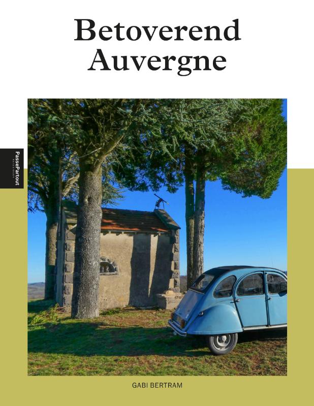
Auvergne
Description

The Auvergne is a extensive region, comprising the Massif Central. Quiet and rural, it has many attractions for the hiker. Well known are the volcanic areas south of Clermont-Ferrand. Though not fuming any more, the volcanic shapes are very well recognisable.
Map

Trails in this region
Links
Facts
Reports
Guides and maps
Lodging
Organisations
Tour operators
GPS
Other
Books

Stanfords
United Kingdom
2019
United Kingdom
2019
- La Haute-Loire à pied
- La Haute-Loire à pied, FFRP topo-guide Ref. No.D043, with 43 day walks of varying length and difficulty in the department of Haute-Loire in southern Auvergne, centered on Le Puy-en-Velay. Each walk is presented on a separate colour extract from IGN’s topographic survey of France at 1:25,000, with its description cross-referenced to the map.... Read more

Stanfords
United Kingdom
2009
United Kingdom
2009
- GR40: Tour des Volcans du Velay FFRP Topo-guide No. 425
- GR40: Tour des Volcans du Velay, FFRP topo-guide ref. no. 425, one of the titles from an extensive series of light, high quality, A5 paperback guides to the Sentiers de Grande Randonnée, the GR routes, a dense network of long-distance footpaths across the French countryside. Each topo-guide covers either a circular route, or part of a longer... Read more

Stanfords
United Kingdom
United Kingdom
- Bourg-Lastic - La Bourboule IGN 2433SB
- Topographic survey of France at 1:25,000 in IGN`s excellent TOP25 / Série Bleue series. All the maps are GPS compatible, with a 1km UTM grid plus latitude and longitude lines at 5’ intervals. Contours are at 5m intervals except for mountainous areas where the maps have contours at 10m intervals, vividly enhanced by hill shading and graphics for... Read more

Stanfords
United Kingdom
2019
United Kingdom
2019
- Volcan du Cantal - Pays de Saint-Flour - Haute-Auvergne GR400/4
- Volcan du Cantal: Pays de Saint-Flour et de Ruynes-en-Margeride, FFRP topoguide, Ref. No. 400, covering 600kms of long-distance paths in the Cantal region of the Massif Central, which can also be walked as shorter circuits. Current edition of this title was published in July 2013.To see other titles in this series please click on the series... Read more

Stanfords
United Kingdom
United Kingdom
- Chemins de St.Jacques: Cluny/Lyon - Le Puy à pied
- Chemins de St.Jacques: Cluny/Lyon-Le Puy à pied from Chamina presents the route overprinted on IGN’s 1:50,000 topographic survey with details of accommodation, local services and other tourist information.Each stage is shown on extracts from IGN`s 1:50,000 topographic survey cross-referenced to the descriptions of the route. Symbols indicate... Read more
Stanfords
United Kingdom
2018
United Kingdom
2018
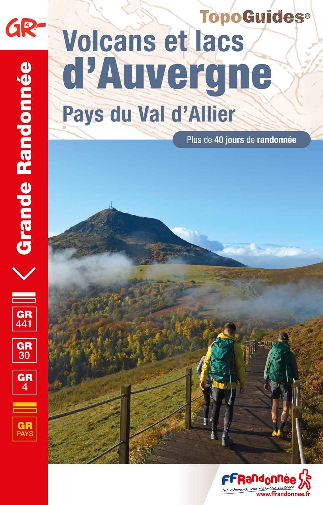
- Volcans et lacs d`Auvergne - Pays du Val d`Allier GR30/GR41
- Volcans et lacs d`Auvergne, FFRP topoguide Ref. no. 305, covering in all 886km of hiking trails across the volcanic landscape of the Auvergne west and south of Clermont-Ferrand, including sections of GR 30 and GR41. Current edition of this title was published in June 2014.ABOUT THE FFRP (Fédération française de la randonnée pédestre)... Read more
Stanfords
United Kingdom
2021
United Kingdom
2021
- Volcan du Cantal et Pays de Saint-Flour - Haute-Auvergne GR400/4
- Volcan du Cantal: Pays de Saint-Flour et de Ruynes-en-Margeride, FFRP topoguide, Ref. No. 400, covering 600kms of long-distance paths in the Cantal region of the Massif Central, which can also be walked as shorter circuits. Current edition of this title was published in July 2013.To see other titles in this series please click on the series... Read more
- Also available from:
- The Book Depository, United Kingdom


- Also available from:
- De Zwerver, Netherlands
De Zwerver
Netherlands
2022
Netherlands
2022

The Book Depository
United Kingdom
2013
United Kingdom
2013
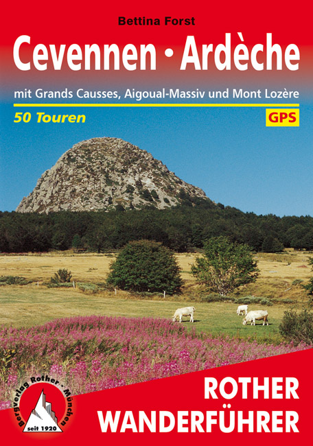
- Cevennen - Ardeche
- Uitstekende wandelgids met een groot aantal dagtochten in dal en hooggebergte. Met praktische informatie en beperkt kaartmateriaal! Wandelingen in verschillende zwaarte weergegeven in rood/blauw/zwart. Zwei abwechslungsreiche Wanderregionen im Süden Frankreichs: Cevennen und Ardèche. Zwischen dem Massif Central, dem Rhônetal und dem... Read more
- Also available from:
- De Zwerver, Netherlands
De Zwerver
Netherlands
2019
Netherlands
2019
- Wandelgids 249 Cevennen - Ardeche | Rother Bergverlag
- Uitstekende wandelgids met een groot aantal dagtochten in dal en hooggebergte. Met praktische informatie en beperkt kaartmateriaal! Wandelingen in verschillende zwaarte weergegeven in rood/blauw/zwart. Zwei abwechslungsreiche Wanderregionen im Süden Frankreichs: Cevennen und Ardèche. Zwischen dem Massif Central, dem Rhônetal und dem... Read more
Stanfords
United Kingdom
2021
United Kingdom
2021
- Tour des Monts d`Aubrac GRP/GR60/GR6
- Tour des Monts d`Aubrac, FFRP topoguide Ref. No. 616, covering 259kms of hiking circuits in the Massif Central along the GR6, GR60 and GR65. Current edition of this title was published in May 2016.ABOUT THE FFRP (Fédération française de la randonnée pédestre) TOPOGUIDES: published in a handy A5 paperback format, the guides are the best... Read more
- Also available from:
- The Book Depository, United Kingdom


Stanfords
United Kingdom
United Kingdom
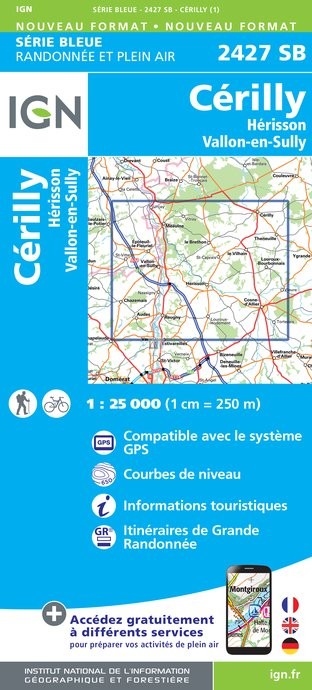
- Cerilly - Herisson - Vallon-en-Sully IGN 2427SB
- L'indispensable carte de randonnée IGN. A conserver dans son sac à dos Read more
- Also available from:
- De Zwerver, Netherlands
De Zwerver
Netherlands
Netherlands
- Topografische kaart - Wandelkaart 2427SB Cérilly | IGN - Institut Géographique National
- L'indispensable carte de randonnée IGN. A conserver dans son sac à dos Read more

Stanfords
United Kingdom
United Kingdom
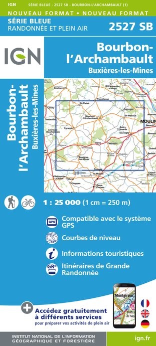
- Bourbon-l`Archambault - Buxieres-les-Mines IGN 2527SB
- L'indispensable carte de randonnée IGN aux alentours de Bourbon-l'Archambault / Buxières-les-Mines. A conserver dans son sac à dos Read more
- Also available from:
- De Zwerver, Netherlands
De Zwerver
Netherlands
Netherlands
- Topografische kaart - Wandelkaart 2527SB Bourbon-l'Archambault | IGN - Institut Géographique National
- L'indispensable carte de randonnée IGN aux alentours de Bourbon-l'Archambault / Buxières-les-Mines. A conserver dans son sac à dos Read more
De Zwerver
Netherlands
2017
Netherlands
2017
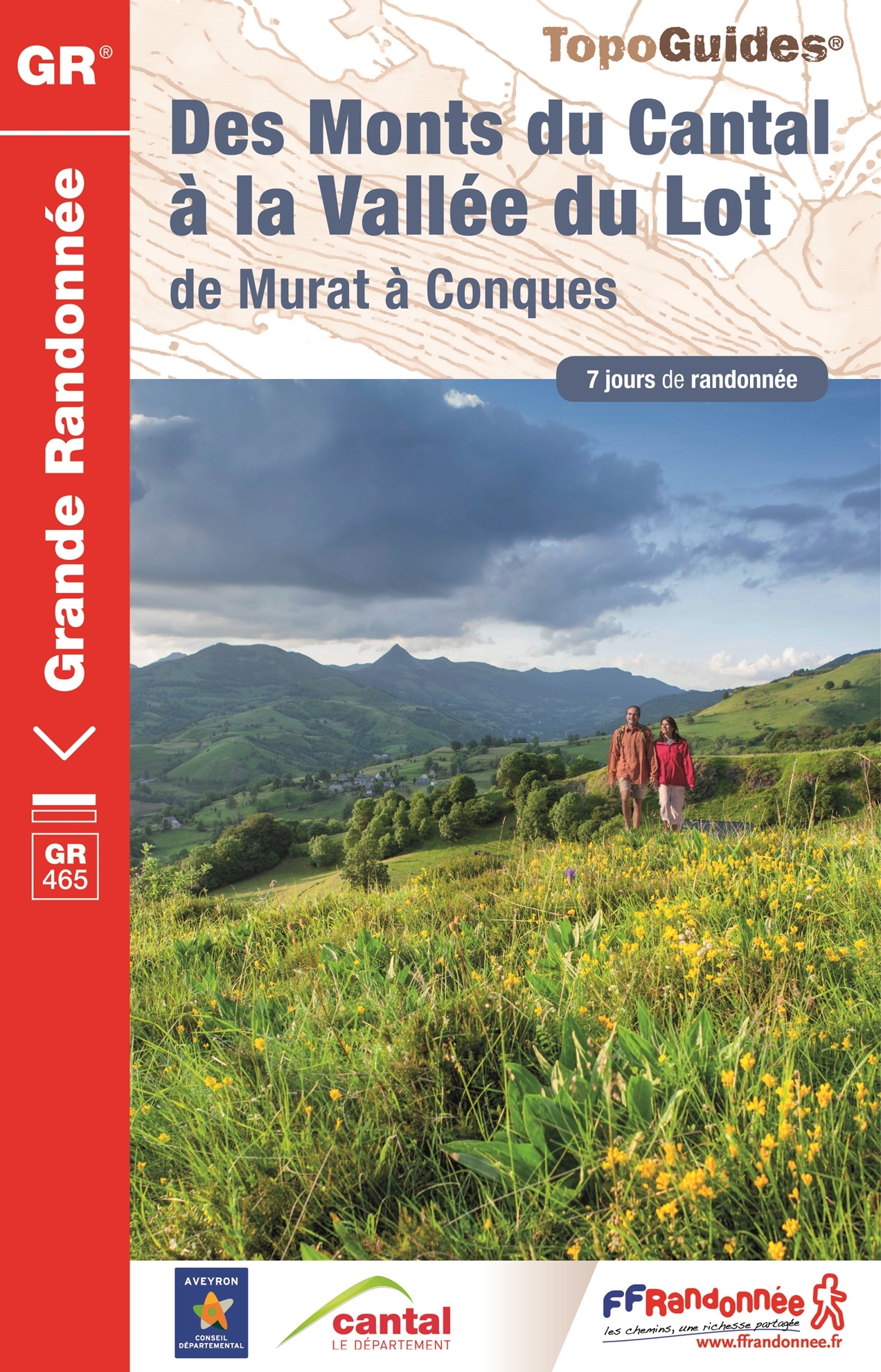
- Wandelgids 465 Des Monts du Cantal à la vallée du Lot GR465 | FFRP
- Uitstekende wandelgids met gedetailleerde kaarten en een routebeschrijving. Fout lopen wordt op deze manier wel erg moeilijk. Met symbolen is weergegeven welke voorzieningen (openbaar vervoer / winkels / overnachtingen) er zijn langs of bij de route. Een nadeel is dat de daadwerkelijke adressen dan weer niet altijd genoemd worden. Alle gidsen... Read more
More books…
Maps

Stanfords
United Kingdom
United Kingdom
- Noiretable - Saint-Martin-la-Sauvete IGN 2731SB
- Topographic survey of France at 1:25,000 in IGN`s excellent TOP25 / Série Bleue series. All the maps are GPS compatible, with a 1km UTM grid plus latitude and longitude lines at 5’ intervals. Contours are at 5m intervals except for mountainous areas where the maps have contours at 10m intervals, vividly enhanced by hill shading and graphics for... Read more

Stanfords
United Kingdom
2018
United Kingdom
2018
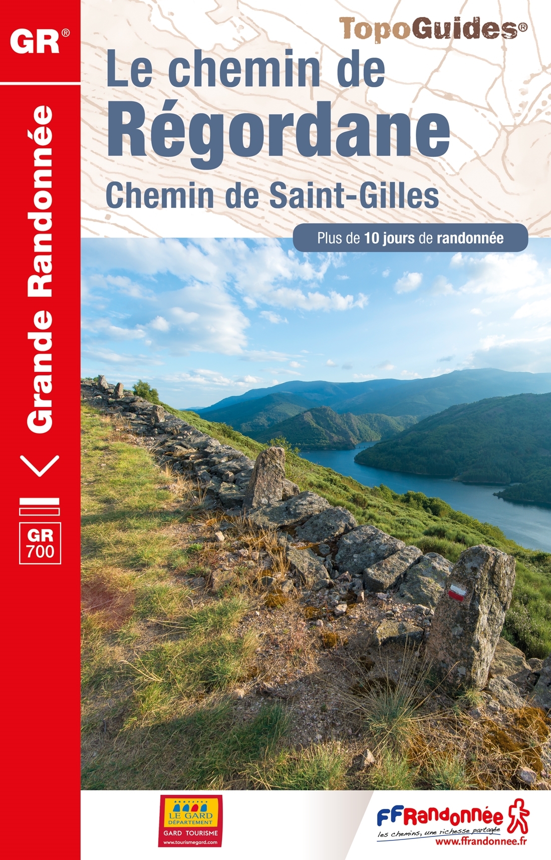
- Le Chemin de Régordane - Chemin de Saint-Gilles GR700
- GR700: Le Chemin Régordane: Le-Puy-en-Velay - St-Gilles-du Gard, FFRP topo-guide ref. no. 7000, one of the titles from an extensive series of light, high quality, A5 paperback guides to the Sentiers de Grande Randonnée, the GR routes, a dense network of long-distance footpaths across the French countryside. Each topo-guide covers either a... Read more

Stanfords
United Kingdom
United Kingdom
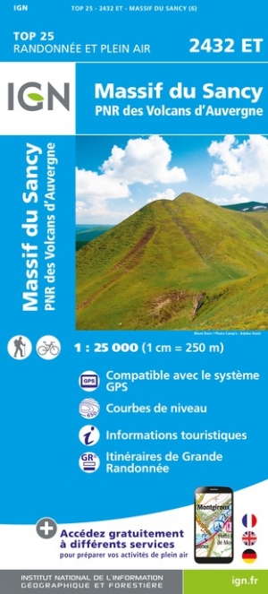
- Chaîne des Puys - Massif du Sancy IGN 75015
- Chaîne des Puys - Massif du Sancy region in a series of GPS compatible, contoured TOP 75 maps at 1:75,000 from the IGN, highlighting local and long-distance hiking paths, cycling routes and sites for other recreational activities. The map includes five large panels showing the areas around la Banne d’ Ordanche between La Bourboule and... Read more

Stanfords
United Kingdom
United Kingdom
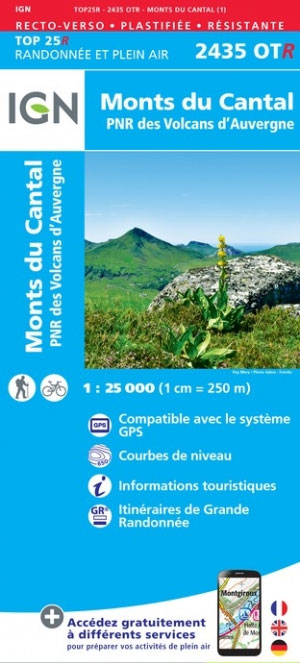
- Monts du Cantal - PNR des Volcans d`Auvergne IGN WATERPROOF 2435OTR
- Topographic survey of France at 1:25,000 in IGN`s excellent TOP25 / Série Bleue series. All the maps are GPS compatible, with a 1km UTM grid plus latitude and longitude lines at 5’ intervals. Contours are at 5m intervals except for mountainous areas where the maps have contours at 10m intervals, vividly enhanced by hill shading and graphics for... Read more
- Also available from:
- The Book Depository, United Kingdom

Stanfords
United Kingdom
United Kingdom
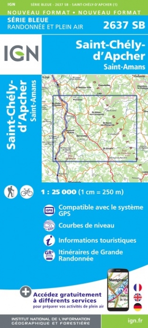
- Saint-Chely-d`Apcher - Saint-Amams IGN 2637SB
- Topographic survey of France at 1:25,000 in IGN`s excellent TOP25 / Série Bleue series. All the maps are GPS compatible, with a 1km UTM grid plus latitude and longitude lines at 5’ intervals. Contours are at 5m intervals except for mountainous areas where the maps have contours at 10m intervals, vividly enhanced by hill shading and graphics for... Read more
- Also available from:
- The Book Depository, United Kingdom
- De Zwerver, Netherlands

De Zwerver
Netherlands
Netherlands

Stanfords
United Kingdom
United Kingdom
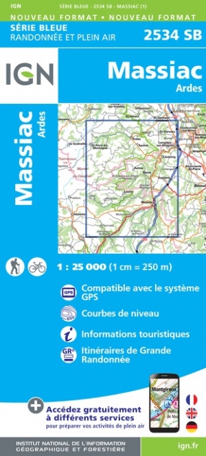
- Massiac - Ardes IGN 2534SB
- Topographic survey of France at 1:25,000 in IGN`s excellent TOP25 / Série Bleue series. All the maps are GPS compatible, with a 1km UTM grid plus latitude and longitude lines at 5’ intervals. Contours are at 5m intervals except for mountainous areas where the maps have contours at 10m intervals, vividly enhanced by hill shading and graphics for... Read more
- Also available from:
- The Book Depository, United Kingdom
- De Zwerver, Netherlands

De Zwerver
Netherlands
Netherlands

Stanfords
United Kingdom
United Kingdom
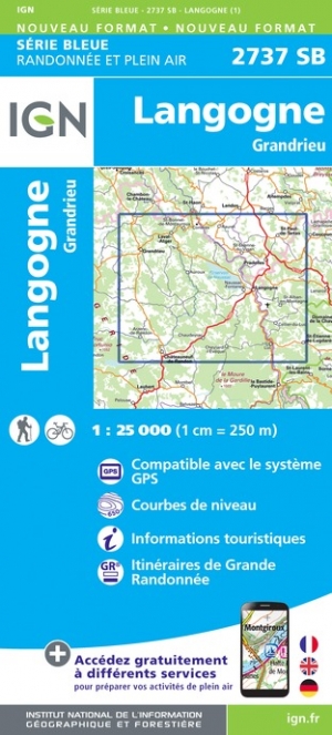
- Langogne - Grandrieu IGN 2737SB
- Topographic survey of France at 1:25,000 in IGN`s excellent TOP25 / Série Bleue series. All the maps are GPS compatible, with a 1km UTM grid plus latitude and longitude lines at 5’ intervals. Contours are at 5m intervals except for mountainous areas where the maps have contours at 10m intervals, vividly enhanced by hill shading and graphics for... Read more
- Also available from:
- The Book Depository, United Kingdom
- De Zwerver, Netherlands

De Zwerver
Netherlands
Netherlands

- Also available from:
- The Book Depository, United Kingdom
- De Zwerver, Netherlands

De Zwerver
Netherlands
Netherlands

Stanfords
United Kingdom
United Kingdom
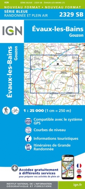
- Evaux-les-Bains - Gouzon IGN 2329SB
- Topographic survey of France at 1:25,000 in IGN`s excellent TOP25 / Série Bleue series. All the maps are GPS compatible, with a 1km UTM grid plus latitude and longitude lines at 5’ intervals. Contours are at 5m intervals except for mountainous areas where the maps have contours at 10m intervals, vividly enhanced by hill shading and graphics for... Read more
- Also available from:
- The Book Depository, United Kingdom
- De Zwerver, Netherlands

De Zwerver
Netherlands
Netherlands

Stanfords
United Kingdom
United Kingdom
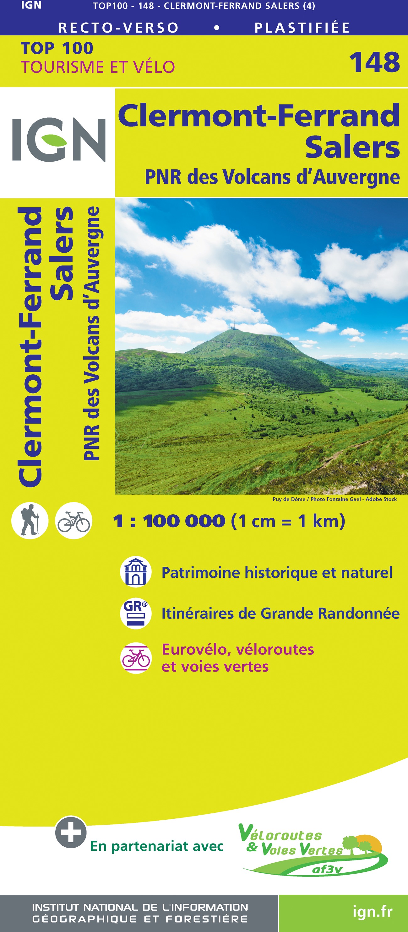
- Clermont-Ferrand - Salers - PNR des Volcans d`Auvergne IGN TOP100 148
- Discover the new double-sided laminated edition of TOP100 road maps of France from the Institut Géographique National (IGN); exceptionally detailed, contoured road maps which include the cycle paths and greenways of the AF3V (French Association for the Development of Cycle Paths and Greenways), ideal for exploring the French countryside by car,... Read more
- Also available from:
- The Book Depository, United Kingdom
- De Zwerver, Netherlands

De Zwerver
Netherlands
Netherlands

Stanfords
United Kingdom
United Kingdom
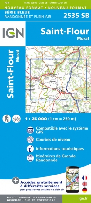
- Saint-Flour - Murat IGN 2535SB
- Topographic survey of France at 1:25,000 in IGN`s excellent TOP25 / Série Bleue series. All the maps are GPS compatible, with a 1km UTM grid plus latitude and longitude lines at 5’ intervals. Contours are at 5m intervals except for mountainous areas where the maps have contours at 10m intervals, vividly enhanced by hill shading and graphics for... Read more
- Also available from:
- The Book Depository, United Kingdom
- De Zwerver, Netherlands

De Zwerver
Netherlands
Netherlands

- Also available from:
- De Zwerver, Netherlands

Stanfords
United Kingdom
United Kingdom
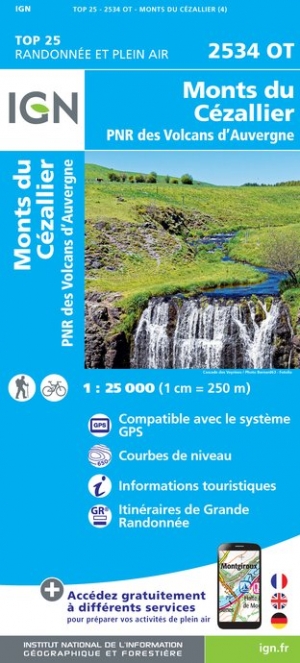
- Monts du Cezallier - PNR des Volcans d`Auvergne IGN 2534OT
- Topographic survey of France at 1:25,000 in IGN`s excellent TOP25 / Série Bleue series. All the maps are GPS compatible, with a 1km UTM grid plus latitude and longitude lines at 5’ intervals. Contours are at 5m intervals except for mountainous areas where the maps have contours at 10m intervals, vividly enhanced by hill shading and graphics for... Read more
- Also available from:
- The Book Depository, United Kingdom
- De Zwerver, Netherlands

De Zwerver
Netherlands
Netherlands

Stanfords
United Kingdom
United Kingdom
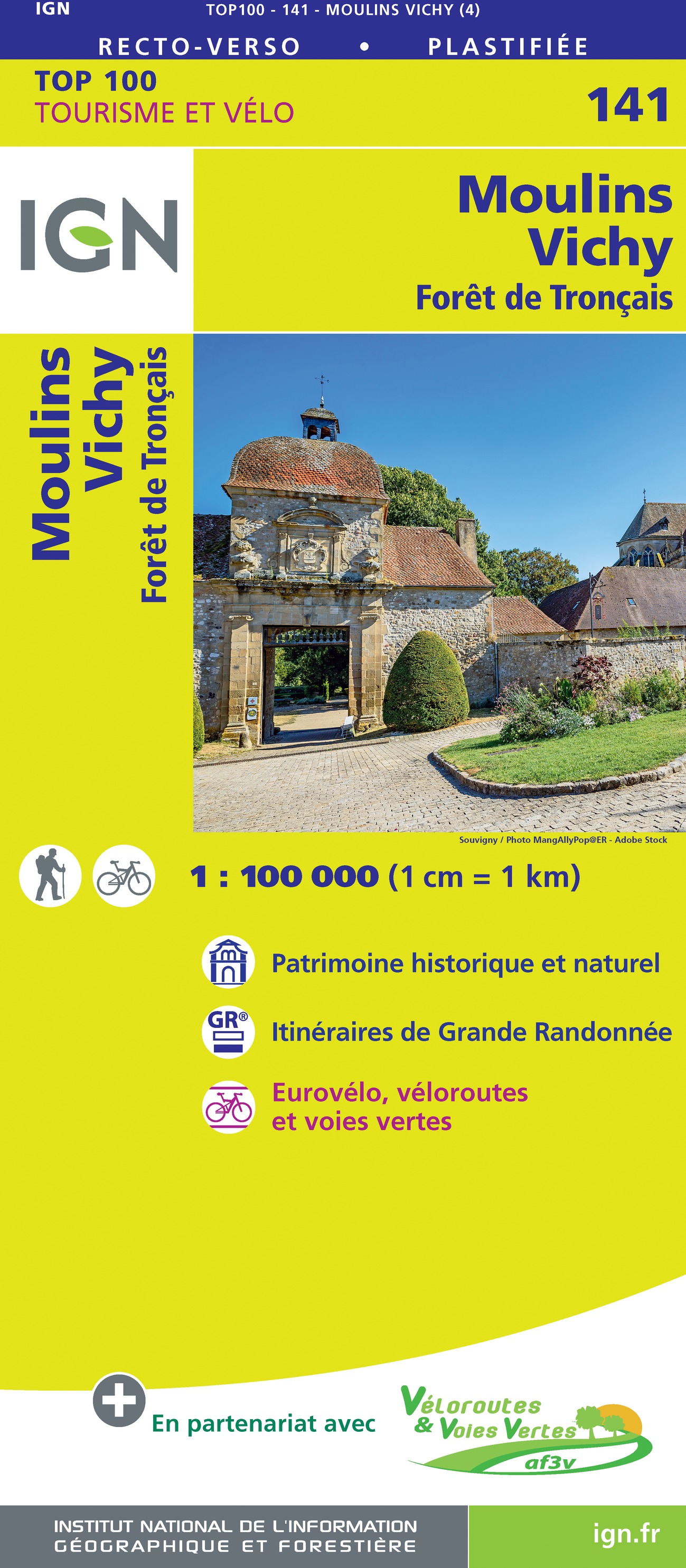
- Moulins - Vichy - Foret de Troncais IGN TOP100 141
- Discover the new double-sided laminated edition of TOP100 road maps of France from the Institut Géographique National (IGN); exceptionally detailed, contoured road maps which include the cycle paths and greenways of the AF3V (French Association for the Development of Cycle Paths and Greenways), ideal for exploring the French countryside by car,... Read more
- Also available from:
- The Book Depository, United Kingdom
- De Zwerver, Netherlands

De Zwerver
Netherlands
Netherlands

Stanfords
United Kingdom
United Kingdom
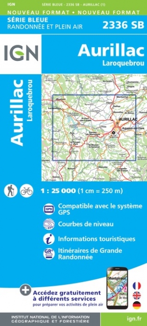
- Aurillac - Laroquebrou IGN 2336SB
- Topographic survey of France at 1:25,000 in IGN`s excellent TOP25 / Série Bleue series. All the maps are GPS compatible, with a 1km UTM grid plus latitude and longitude lines at 5’ intervals. Contours are at 5m intervals except for mountainous areas where the maps have contours at 10m intervals, vividly enhanced by hill shading and graphics for... Read more
- Also available from:
- The Book Depository, United Kingdom
- De Zwerver, Netherlands

De Zwerver
Netherlands
Netherlands