Champagne-Ardenne
Description
Region in the North of France, bordering on Belgium.
Trails in this region
Links
Facts
Reports
Guides and maps
Lodging
Organisations
Tour operators
GPS
Other
Books

Stanfords
United Kingdom
2015
United Kingdom
2015
- La Marne à pied FFRP Topo-guide No. D051
- La Marne à pied, FFRP topo-guide Ref. No. D051, with 38 day walks of varying length and difficulty in the department, including in the Montagne de Reims and walks connected with the Meuse-Argonne offensive in the final months of WWI. Each walk is presented on a separate colour extract from IGN’s topographic survey of France at 1:25,000, with... Read more

Stanfords
United Kingdom
2015
United Kingdom
2015
- GR654 Chemins de St-Jacques: Vézelay - Périgueux FFRP Topo-guide No. 6542
- Chemins de St-Jacques: Vézelay - Périgueux, FFRP topoguide Ref. no. 6542, covering the 744km route along the GR654 the Way of St. Jamezs from Vézelay via Limoges to Périgueux. Current edition of this title was published in March 2015.ABOUT THE FFRP (Fédération française de la randonnée pédestre) TOPOGUIDES: published in a handy A5 paperback... Read more

Stanfords
United Kingdom
United Kingdom
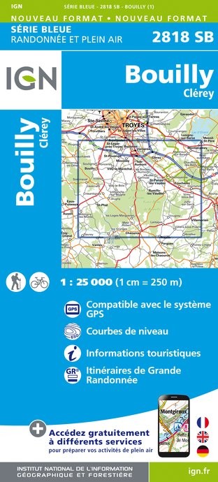
- Bouilly - Clerey IGN 2818SB
- Topographic survey of France at 1:25,000 in IGN`s excellent TOP25 / Série Bleue series. All the maps are GPS compatible, with a 1km UTM grid plus latitude and longitude lines at 5’ intervals. Contours are at 5m intervals except for mountainous areas where the maps have contours at 10m intervals, vividly enhanced by hill shading and graphics for... Read more
- Also available from:
- De Zwerver, Netherlands
De Zwerver
Netherlands
Netherlands
- Topografische kaart - Wandelkaart 2818SB Bouilly | IGN - Institut Géographique National
- L'indispensable carte de randonnée IGN aux alentours de Bouilly/Clérey. A conserver dans son sac à dos Read more

Stanfords
United Kingdom
United Kingdom
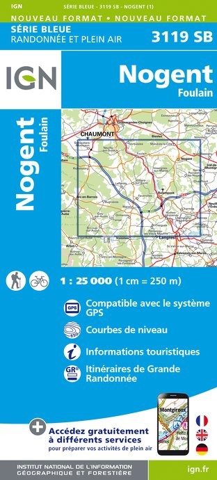
- Nogent - Foulain IGN 25K Série Bleue Map 3119SB
- Topographic survey of France at 1:25,000 in IGN`s excellent TOP25 / Série Bleue series. All the maps are GPS compatible, with a 1km UTM grid plus latitude and longitude lines at 5’ intervals. Contours are at 5m intervals except for mountainous areas where the maps have contours at 10m intervals, vividly enhanced by hill shading and graphics for... Read more
- Also available from:
- De Zwerver, Netherlands
De Zwerver
Netherlands
Netherlands
- Topografische kaart - Wandelkaart 3119SB Nogent | IGN - Institut Géographique National
- L'indispensable carte de randonnée IGN aux alentours de Nogent et Foulain. A conserver dans son sac à dos. Read more

Stanfords
United Kingdom
2014
United Kingdom
2014
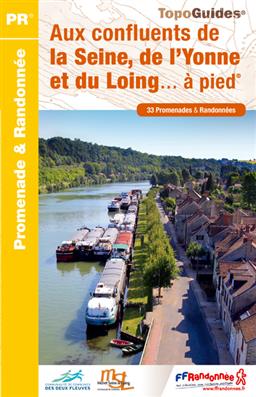
- Aux confluents de la Seine, de l`Yonne et du Loing à pied FFRP Topo-guide No. P774
- Aux confluents de la Seine, de l`Yonne et du Loing à pied, FFRP topo-guide Ref. No. P774, with 33 day walks of varying length and difficulty around the confluence of these three rivers, just east of the Fontainebleau Forest. Each walk is presented on a separate colour extract from IGN’s topographic survey of France at 1:25,000, with its... Read more
- Also available from:
- De Zwerver, Netherlands
De Zwerver
Netherlands
2014
Netherlands
2014
- Wandelgids P774 Aux confluents de la Seine, de l'Yonne et du Loing... à pied | FFRP
- Uitstekende routegids met gedetailleerde kaarten en een routebeschrijving. Fout lopen wordt op deze manier wel erg moeilijk. Met symbolen is weergegeven welke voorzieningen (openbaar vervoer / winkels / overnachtingen) er zijn langs of bij de route. Een nadeel is dat de daadwerkelijke adressen dan weer niet altijd genoemd worden. Alle gidsen... Read more
Bol.com
Netherlands
Netherlands
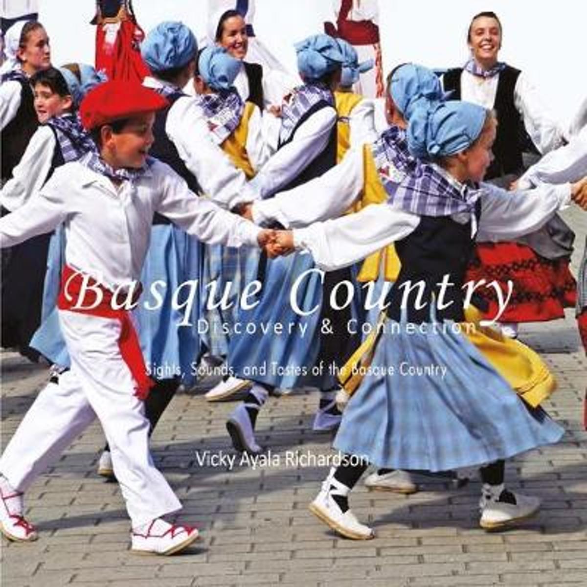
- Basque Country, Discovery & Connection
- Basque Country Discovery & Connections Sights, Sounds and Tastes of the Basque Country Vicky Ayala Richardson has taken a very long and winding road to discover her Basque roots. However, once discovered, she has been single minded in her approach to connecting with the sights, sounds and tastes which are Basque. Collected directly from the... Read more
- Also available from:
- Bol.com, Belgium
Bol.com
Belgium
Belgium
- Basque Country, Discovery & Connection
- Basque Country Discovery & Connections Sights, Sounds and Tastes of the Basque Country Vicky Ayala Richardson has taken a very long and winding road to discover her Basque roots. However, once discovered, she has been single minded in her approach to connecting with the sights, sounds and tastes which are Basque. Collected directly from the... Read more

Stanfords
United Kingdom
United Kingdom
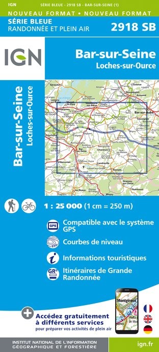
- Bar-sur-Seine - Loches-sur-Ource IGN 2918SB
- Topographic survey of France at 1:25,000 in IGN`s excellent TOP25 / Série Bleue series. All the maps are GPS compatible, with a 1km UTM grid plus latitude and longitude lines at 5’ intervals. Contours are at 5m intervals except for mountainous areas where the maps have contours at 10m intervals, vividly enhanced by hill shading and graphics for... Read more
- Also available from:
- De Zwerver, Netherlands
De Zwerver
Netherlands
Netherlands
- Topografische kaart - Wandelkaart 2918SB Bar-sur-Seine | IGN - Institut Géographique National
- L'indispensable carte de randonnée IGN Bas-sur-Seine / Loches-sur-Ource. A conserver dans son sac à dos Read more

Stanfords
United Kingdom
United Kingdom
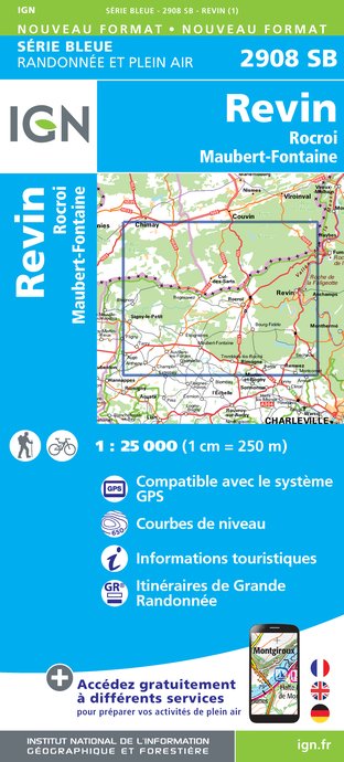
- Revin - Rocroi - Maubert-Fontaine IGN 25K Série Bleue Map 2908SB
- Topographic survey of France at 1:25,000 in IGN`s excellent TOP25 / Série Bleue series. All the maps are GPS compatible, with a 1km UTM grid plus latitude and longitude lines at 5’ intervals. Contours are at 5m intervals except for mountainous areas where the maps have contours at 10m intervals, vividly enhanced by hill shading and graphics for... Read more
- Also available from:
- De Zwerver, Netherlands
De Zwerver
Netherlands
Netherlands
- Wandelkaart - Topografische kaart 2908SB Revin, Rocroi, Maubert-Fontaine | IGN - Institut Géographique National
- L'indispensable carte de randonnée IGN aux alentours de Revin - Rocroi - Maubert-fontaine. A conserver dans son sac à dos. Read more

Stanfords
United Kingdom
2015
United Kingdom
2015
- GR654 Sentier St-Jacques: Perigueux - Roncevaux FFRP Topo-guide No. 6543
- Sentier St-Jacques: Perigueux - Roncevaux, FFRP topoguide Ref. no. 6543, covering the second part of the Way of St James route along the GR654 which starts in Vézelay, the section from Perigueux to the Pyrenees. Also covered is an eastern route from Bergerac to Montréal-de-Gers. Current edition of this title was published in June 2014.ABOUT THE... Read more
- Also available from:
- De Zwerver, Netherlands

De Zwerver
Netherlands
2015
Netherlands
2015
- Wandelgids 6543 Sentier vers Saint-Jacques-de-Compostelle via Vezelay : Périgueux - Roncevaux - GR654 | FFRP
- Guide FFRandonnée Sentier vers St-Jacques-de-Compostelle : Périgueux-Ronceveaux. GR 654. Voie de Vézelay vers Compostelle : suite de l'itinéraire décrit dans le topo-guide réf. 6542 'Sentier vers St-Jacques-de-Compostelle : Vézelay-Périgueux'.Passé le seuil du Périgord blanc,... Read more
Bol.com
Netherlands
2013
Netherlands
2013
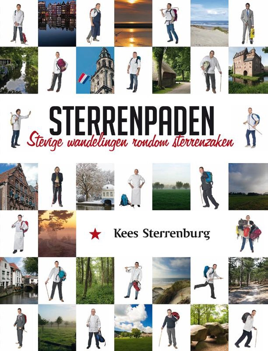
- Sterrenpaden
- Sterrenpaden. Wandel lekker. Eet smakelijk. In Sterrenpaden beschrijft Kees Sterrenburg twintig wandelingen rondom de mooiste restaurants en hotels van ons land. Wandelingen van gemiddeld twintig km lengte die speciaal zijn uitgezet voor Sterrenpaden. De uitgave bestaat uit twee delen. Een luxe uitgave waarin de horecazaken worden behandeld en... Read more
- Also available from:
- Bol.com, Belgium
Bol.com
Belgium
2013
Belgium
2013
- Sterrenpaden
- Sterrenpaden. Wandel lekker. Eet smakelijk. In Sterrenpaden beschrijft Kees Sterrenburg twintig wandelingen rondom de mooiste restaurants en hotels van ons land. Wandelingen van gemiddeld twintig km lengte die speciaal zijn uitgezet voor Sterrenpaden. De uitgave bestaat uit twee delen. Een luxe uitgave waarin de horecazaken worden behandeld en... Read more

Stanfords
United Kingdom
United Kingdom
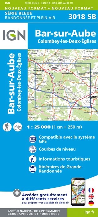
- Bar-sur-Aube - Colombey-les-Deux-Eglises IGN 3018SB
- Topographic survey of France at 1:25,000 in IGN`s excellent TOP25 / Série Bleue series. All the maps are GPS compatible, with a 1km UTM grid plus latitude and longitude lines at 5’ intervals. Contours are at 5m intervals except for mountainous areas where the maps have contours at 10m intervals, vividly enhanced by hill shading and graphics for... Read more
- Also available from:
- De Zwerver, Netherlands
De Zwerver
Netherlands
Netherlands
- Topografische kaart - Wandelkaart 3018SB Bar-sur-Aube | IGN - Institut Géographique National
- L'indispensable carte de randonnée IGN aux alentours de Bar-sur-aube et Colombey-les-deux-églises. A conserver dans son sac à dos. Read more
De Zwerver
Netherlands
2019
Netherlands
2019

Bol.com
Netherlands
Netherlands
- Absolutely faking it
- Thirteen luxury hotels, five months... no money.For Tiana Templeman, travel has always meant hiking boots and hostels, so when she wins a trip for two to stay at thirteen of the world's most exclusive five-star hotels, it sounds like the chance of a lifetime, an opportunity to see how the other half lives. But with a travel budget stretched... Read more
- Also available from:
- Bol.com, Belgium
Bol.com
Belgium
Belgium
- Absolutely faking it
- Thirteen luxury hotels, five months... no money.For Tiana Templeman, travel has always meant hiking boots and hostels, so when she wins a trip for two to stay at thirteen of the world's most exclusive five-star hotels, it sounds like the chance of a lifetime, an opportunity to see how the other half lives. But with a travel budget stretched... Read more

Stanfords
United Kingdom
United Kingdom
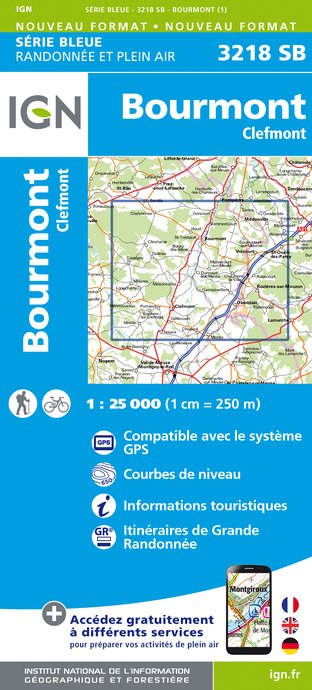
- Bourmont - Clefmont IGN 3218SB
- Topographic survey of France at 1:25,000 in IGN`s excellent TOP25 / Série Bleue series. All the maps are GPS compatible, with a 1km UTM grid plus latitude and longitude lines at 5’ intervals. Contours are at 5m intervals except for mountainous areas where the maps have contours at 10m intervals, vividly enhanced by hill shading and graphics for... Read more
- Also available from:
- De Zwerver, Netherlands
De Zwerver
Netherlands
Netherlands
- Wandelkaart - Topografische kaart 3218SB Bourmont - Clefmont | IGN - Institut Géographique National
- L'indispensable carte de randonnée IGN aux alentours de Bourmont - Clefmont. A conserver dans son sac à dos. Read more
De Zwerver
Netherlands
2018
Netherlands
2018
Maps

Stanfords
United Kingdom
United Kingdom
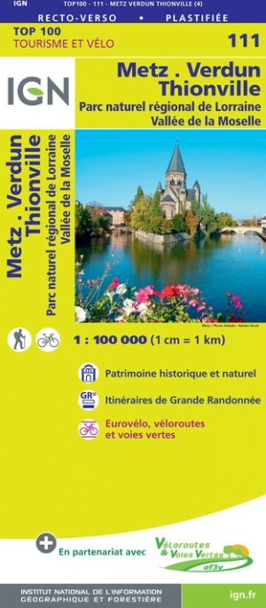
- Metz - Verdun - Luxembourg IGN TOP100 111
- Discover the new double-sided laminated edition of TOP100 road maps of France from the Institut Géographique National (IGN); exceptionally detailed, contoured road maps which include the cycle paths and greenways of the AF3V (French Association for the Development of Cycle Paths and Greenways), ideal for exploring the French countryside by car,... Read more
- Also available from:
- The Book Depository, United Kingdom
- De Zwerver, Netherlands

De Zwerver
Netherlands
Netherlands

Stanfords
United Kingdom
United Kingdom
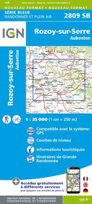
- Rozoy-sur-Serre - Aubenton IGN 2809SB
- Between 2014 and 2019, the IGN renewed its entire Serie Bleue collection. A new map for optimal readability, with better geometric precision and enriched tourist information. A new format twice as large: the format of the new Serie Bleue is equivalent to that of the Top 25 and the number of references will thus be divided by 2. For most maps,... Read more
- Also available from:
- The Book Depository, United Kingdom
- De Zwerver, Netherlands

De Zwerver
Netherlands
Netherlands

Stanfords
United Kingdom
United Kingdom
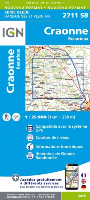
- Craonne - Beaurieux IGN 2711SB
- Between 2014 and 2019, the IGN renewed its entire Serie Bleue collection. A new map for optimal readability, with better geometric precision and enriched tourist information. A new format twice as large: the format of the new Serie Bleue is equivalent to that of the Top 25 and the number of references will thus be divided by 2. For most maps,... Read more
- Also available from:
- The Book Depository, United Kingdom
- De Zwerver, Netherlands

De Zwerver
Netherlands
Netherlands

Stanfords
United Kingdom
United Kingdom
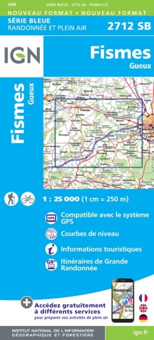
- Fismes - Gueux GN 2712SB
- Between 2014 and 2019, the IGN renewed its entire Serie Bleue collection. A new map for optimal readability, with better geometric precision and enriched tourist information. A new format twice as large: the format of the new Serie Bleue is equivalent to that of the Top 25 and the number of references will thus be divided by 2. For most maps,... Read more
- Also available from:
- The Book Depository, United Kingdom
- De Zwerver, Netherlands

De Zwerver
Netherlands
Netherlands

Stanfords
United Kingdom
United Kingdom
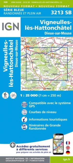
- Vigneulles-les-Hattonchatel - Dieue-sur-Meuse IGN 3213SB
- Topographic survey of France at 1:25,000 in IGN`s excellent TOP25 / Série Bleue series. All the maps are GPS compatible, with a 1km UTM grid plus latitude and longitude lines at 5’ intervals. Contours are at 5m intervals except for mountainous areas where the maps have contours at 10m intervals, vividly enhanced by hill shading and graphics for... Read more
- Also available from:
- The Book Depository, United Kingdom
- De Zwerver, Netherlands

De Zwerver
Netherlands
Netherlands

Stanfords
United Kingdom
United Kingdom
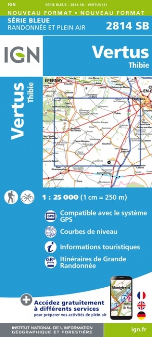
- Vertus - Thibie IGN 2814SB
- Topographic survey of France at 1:25,000 in IGN`s excellent TOP25 / Série Bleue series. All the maps are GPS compatible, with a 1km UTM grid plus latitude and longitude lines at 5’ intervals. Contours are at 5m intervals except for mountainous areas where the maps have contours at 10m intervals, vividly enhanced by hill shading and graphics for... Read more
- Also available from:
- The Book Depository, United Kingdom
- De Zwerver, Netherlands

De Zwerver
Netherlands
Netherlands

Stanfords
United Kingdom
United Kingdom
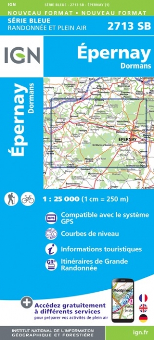
- Epernay - Dormans IGN 2713SB
- Between 2014 and 2019, the IGN renewed its entire Serie Bleue collection. A new map for optimal readability, with better geometric precision and enriched tourist information. A new format twice as large: the format of the new Serie Bleue is equivalent to that of the Top 25 and the number of references will thus be divided by 2. For most maps,... Read more
- Also available from:
- The Book Depository, United Kingdom
- De Zwerver, Netherlands

De Zwerver
Netherlands
Netherlands

Stanfords
United Kingdom
United Kingdom
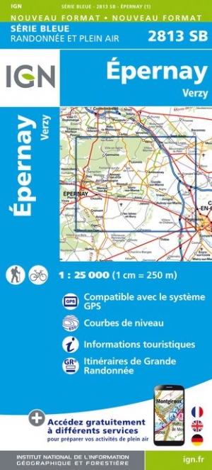
- Epernay - Verzy IGN 2813SB
- Topographic survey of France at 1:25,000 in IGN`s excellent TOP25 / Série Bleue series. All the maps are GPS compatible, with a 1km UTM grid plus latitude and longitude lines at 5’ intervals. Contours are at 5m intervals except for mountainous areas where the maps have contours at 10m intervals, vividly enhanced by hill shading and graphics for... Read more
- Also available from:
- The Book Depository, United Kingdom
- De Zwerver, Netherlands

De Zwerver
Netherlands
Netherlands

Stanfords
United Kingdom
United Kingdom
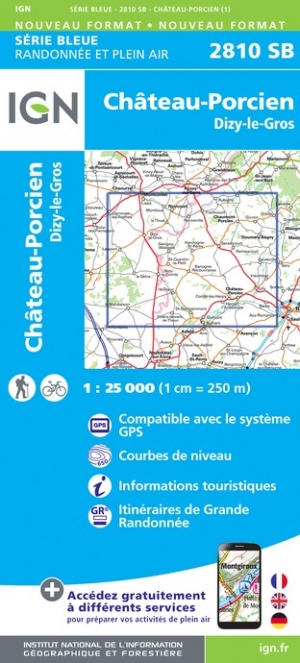
- Chateau-Porcien - Dizy-le-Gros IGN 2810SB
- Between 2014 and 2019, the IGN renewed its entire Serie Bleue collection. A new map for optimal readability, with better geometric precision and enriched tourist information. A new format twice as large: the format of the new Serie Bleue is equivalent to that of the Top 25 and the number of references will thus be divided by 2. For most maps,... Read more
- Also available from:
- The Book Depository, United Kingdom
- De Zwerver, Netherlands

De Zwerver
Netherlands
Netherlands

Stanfords
United Kingdom
United Kingdom
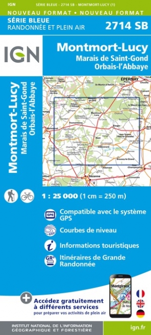
- Montmort-Lucy - Marais de Saint-Gond - Orbais-l`Abbaye IGN 2714SB
- Topographic survey of France at 1:25,000 in IGN`s excellent TOP25 / Série Bleue series. All the maps are GPS compatible, with a 1km UTM grid plus latitude and longitude lines at 5’ intervals. Contours are at 5m intervals except for mountainous areas where the maps have contours at 10m intervals, vividly enhanced by hill shading and graphics for... Read more
- Also available from:
- The Book Depository, United Kingdom
- De Zwerver, Netherlands

De Zwerver
Netherlands
Netherlands
Stanfords
United Kingdom
United Kingdom
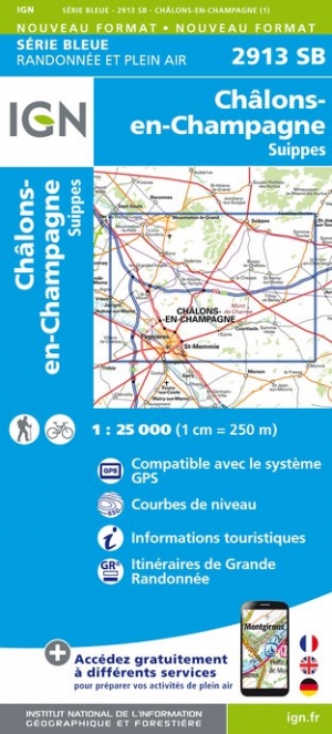
- Chalons-en-Champagne - Suippes IGN 2913SB
- Topographic survey of France at 1:25,000 in IGN`s excellent TOP25 / Série Bleue series. All the maps are GPS compatible, with a 1km UTM grid plus latitude and longitude lines at 5’ intervals. Contours are at 5m intervals except for mountainous areas where the maps have contours at 10m intervals, vividly enhanced by hill shading and graphics for... Read more
- Also available from:
- The Book Depository, United Kingdom
- De Zwerver, Netherlands


De Zwerver
Netherlands
Netherlands

Stanfords
United Kingdom
United Kingdom
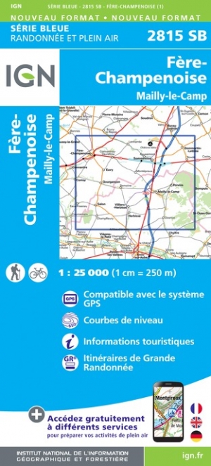
- Fere-Champenoise - Mailly-le-Camp IGN 2815SB
- Topographic survey of France at 1:25,000 in IGN`s excellent TOP25 / Série Bleue series. All the maps are GPS compatible, with a 1km UTM grid plus latitude and longitude lines at 5’ intervals. Contours are at 5m intervals except for mountainous areas where the maps have contours at 10m intervals, vividly enhanced by hill shading and graphics for... Read more
- Also available from:
- The Book Depository, United Kingdom
- De Zwerver, Netherlands

De Zwerver
Netherlands
Netherlands

Stanfords
United Kingdom
United Kingdom
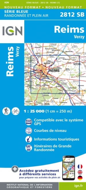
- Reims - Verzy IGN 2812SB
- Between 2014 and 2019, the IGN renewed its entire Serie Bleue collection. A new map for optimal readability, with better geometric precision and enriched tourist information. A new format twice as large: the format of the new Serie Bleue is equivalent to that of the Top 25 and the number of references will thus be divided by 2. For most maps,... Read more
- Also available from:
- The Book Depository, United Kingdom
- De Zwerver, Netherlands

De Zwerver
Netherlands
Netherlands
Stanfords
United Kingdom
United Kingdom
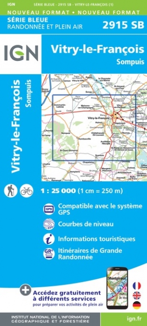
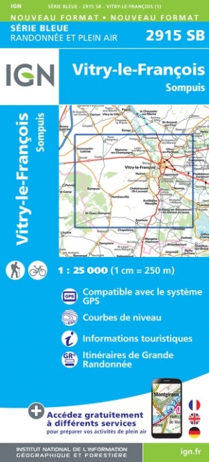
- Vitry-le-Francois - Sompuis IGN 2915SB
- Topographic survey of France at 1:25,000 in IGN`s excellent TOP25 / Série Bleue series. All the maps are GPS compatible, with a 1km UTM grid plus latitude and longitude lines at 5’ intervals. Contours are at 5m intervals except for mountainous areas where the maps have contours at 10m intervals, vividly enhanced by hill shading and graphics for... Read more
- Also available from:
- The Book Depository, United Kingdom
- De Zwerver, Netherlands

De Zwerver
Netherlands
Netherlands

- Also available from:
- De Zwerver, Netherlands