
Massif Central
Description
Links
Facts
Reports
Guides and maps
Lodging
Organisations
Tour operators
GPS
Other
Books

Stanfords
United Kingdom
2014
United Kingdom
2014
- Le Val de Sioule à pied FFRP Topo-guide No. P032
- Le Val de Sioule à pied, FFRP topo-guide Ref. No.P032, with 44 day walks of varying length and difficulty in the Massif Central between Vichy and Montluçon. Each walk is presented on a separate colour extract from IGN’s topographic survey of France at 1:25,000, with its description cross-referenced to the map. Current edition of this title was... Read more
Stanfords
United Kingdom
2018
United Kingdom
2018
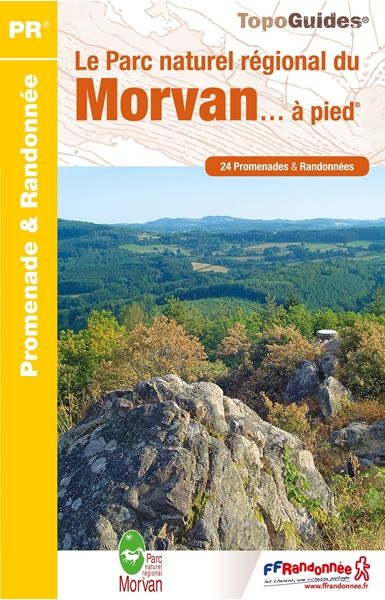
- Le Parc naturel regional du Morvan... a pied
- The Morvan regional nature park on foot.In the center of Burgundy, the Morvan and its granite mountain at the northern end of the Massif Central, reserves its most beautiful secrets for those who walk its paths.Spread over the entire territory of the Parc du Morvan, from Vézelay to Bibracte, the twenty-four walks offered in this guide will... Read more

Stanfords
United Kingdom
2006
United Kingdom
2006
- GR46/GRP: Au pays du George Sand FFRP Topo-guide No. 361
- GR46/GRP: Au pays du George Sand, FFRP topo-guide ref. no. 361, one of the titles from an extensive series of light, high quality, A5 paperback guides to the Sentiers de Grande Randonnée, the GR routes, a dense network of long-distance footpaths across the French countryside. Each topo-guide covers either a circular route, or part of a longer... Read more

Stanfords
United Kingdom
2014
United Kingdom
2014
- Pays de Lauragais à pied FFRP Topo-guide No. P115
- Pays de Lauragais à pied, FFRP topo-guide Ref. No. P115, with 39 day walks of varying length and difficulty in the countryside north-west of Carcassonne, on both sides of the Canal du Midi. Each walk is presented on a separate colour extract from IGN’s topographic survey of France at 1:25,000, with its description cross-referenced to the map.... Read more

Stanfords
United Kingdom
2018
United Kingdom
2018
- Sentiers de St-Jacques via le Puy - Le Puy to Figeac GR65
- Chemins de St-Jacques: Le Puy - Figeac, FFRP topoguide Ref. no. 651, covering a 252km section of the Way of St. James across the Massif Central from Le Puy-en-Velay to Figeac along the GR 65. Current edition of this title was published in August 2014.ABOUT THE FFRP (Fédération française de la randonnée pédestre) TOPOGUIDES: published in a handy... Read more
Stanfords
United Kingdom
2019
United Kingdom
2019
- Volcan du Cantal - Pays de Saint-Flour - Haute-Auvergne GR400/4
- Volcan du Cantal: Pays de Saint-Flour et de Ruynes-en-Margeride, FFRP topoguide, Ref. No. 400, covering 600kms of long-distance paths in the Cantal region of the Massif Central, which can also be walked as shorter circuits. Current edition of this title was published in July 2013.To see other titles in this series please click on the series... Read more
Stanfords
United Kingdom
2020
United Kingdom
2020
- Le Chemin de Saint-Guilhem-le-Desert - Lozere - Aveyron - Gard - Herault
- Le chemin de Saint-Guilhem-le Désert, FFRP topoguide Ref. No. 4834, covering the 340kms of hiking routes between Aumont-Aubrac in the Massif Central, across the Cevennes, to Saint-Guilhem-le-Désert near Montpellier. Current edition of this title was published in July 2018ABOUT THE FFRP (Fédération française de la randonnée pédestre) TOPOGUIDES:... Read more

Stanfords
United Kingdom
2011
United Kingdom
2011
- GRP: Monts et Lacs du Lévézou FFRP Topo-guide No. 1201
- Monts et Lacs du Lévézou, FFRP topo-guide ref. no. 1201, covering two hiking circuits in the Massif Central near Rodez and Millau; in all 214kms of routes. Current edition of this title was published in March 2011.ABOUT THE FFRP (Fédération française de la randonnée pédestre) TOPOGUIDES: published in a handy A5 paperback format, the guides are... Read more
Stanfords
United Kingdom
2021
United Kingdom
2021
- Volcan du Cantal et Pays de Saint-Flour - Haute-Auvergne GR400/4
- Volcan du Cantal: Pays de Saint-Flour et de Ruynes-en-Margeride, FFRP topoguide, Ref. No. 400, covering 600kms of long-distance paths in the Cantal region of the Massif Central, which can also be walked as shorter circuits. Current edition of this title was published in July 2013.To see other titles in this series please click on the series... Read more
- Also available from:
- The Book Depository, United Kingdom

Stanfords
United Kingdom
2021
United Kingdom
2021
- Tour des Monts d`Aubrac GRP/GR60/GR6
- Tour des Monts d`Aubrac, FFRP topoguide Ref. No. 616, covering 259kms of hiking circuits in the Massif Central along the GR6, GR60 and GR65. Current edition of this title was published in May 2016.ABOUT THE FFRP (Fédération française de la randonnée pédestre) TOPOGUIDES: published in a handy A5 paperback format, the guides are the best... Read more
- Also available from:
- The Book Depository, United Kingdom


Stanfords
United Kingdom
2012
United Kingdom
2012
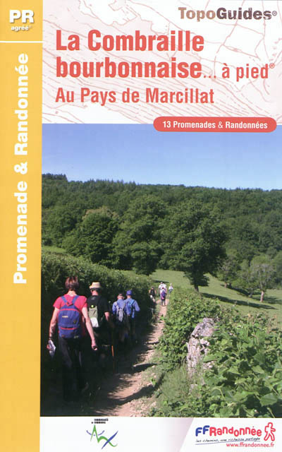
- Combraille Bourbonnaise à pied FFRP Topo-guide No. P034
- Combraille Bourbonnaise à pied, FFRP topo-guide Ref. No. P034, with 13 day walks of varying length and difficulty south of Montluçon. Each walk is presented on a separate colour extract from IGN’s topographic survey of France at 1:25,000, with its description cross-referenced to the map. Current edition of this title was published in May... Read more
- Also available from:
- De Zwerver, Netherlands
De Zwerver
Netherlands
2012
Netherlands
2012
- Wandelgids P034 La Combraille bourbonnaise à pied | FFRP
- Guide FFRandonnée La Combraille Bourbonnaise à pied. PR 13 balades.13 PR champêtres à travers vallées sauvages et chemins tortueux. Formée de plateaux aux formes émoussées, entaillés par les gorges du Cher et de ses affluents, la Combraille compose une unité paysagère emblématique. Milieux humides, bois, landes à bruyères ou à buis et riche... Read more
Bol.com
Netherlands
2012
Netherlands
2012
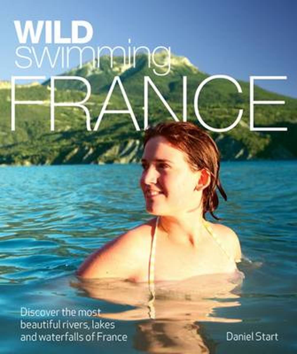
- Wild Swimming France
- Daniel Start returns with a dazzling new travel guide book to France, for families and adventurers alike. * Dip in to the emerald-green plunge pools of Provence and swim beneath the great chateaux of the Loire and Dordogne. * Discover the unspoilt crater lakes of the Massif Central or relax in secluded hot springs in the woodlands of the... Read more
- Also available from:
- Bol.com, Belgium
Bol.com
Belgium
2012
Belgium
2012
- Wild Swimming France
- Daniel Start returns with a dazzling new travel guide book to France, for families and adventurers alike. * Dip in to the emerald-green plunge pools of Provence and swim beneath the great chateaux of the Loire and Dordogne. * Discover the unspoilt crater lakes of the Massif Central or relax in secluded hot springs in the woodlands of the... Read more

Stanfords
United Kingdom
2013
United Kingdom
2013
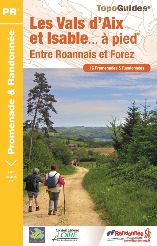
- Vals Aix et d`Isable à pied FFRP Topo-guide No. P424
- Vals Aix et d`Isable à pied, FFRP topo-guide Ref. No. P424, with 16 day walks of varying length and difficulty in the countryside between St. Etienne and Roanne. Each walk is presented on a separate colour extract from IGN’s topographic survey of France at 1:25,000, with its description cross-referenced to the map. Current edition of this title... Read more
- Also available from:
- De Zwerver, Netherlands
De Zwerver
Netherlands
2013
Netherlands
2013
- Wandelgids P424 Les Vals d'Aix et Isable à pied | FFRP
- Guide FFRandonnée Les Vals d'Aix et Isable à pied - P424. PR 15 balades.Desservi par les autoroutes A 72 et A 89, les vals d'Aix et Isable sont à 30 min de Roanne et à moins d'une heure de Saint-Etienne, Lyon ou Clermont-Ferrand. Pour un grand bol d'air au plus près des gorges de la Loire !Nés de deux... Read more

Stanfords
United Kingdom
2021
United Kingdom
2021
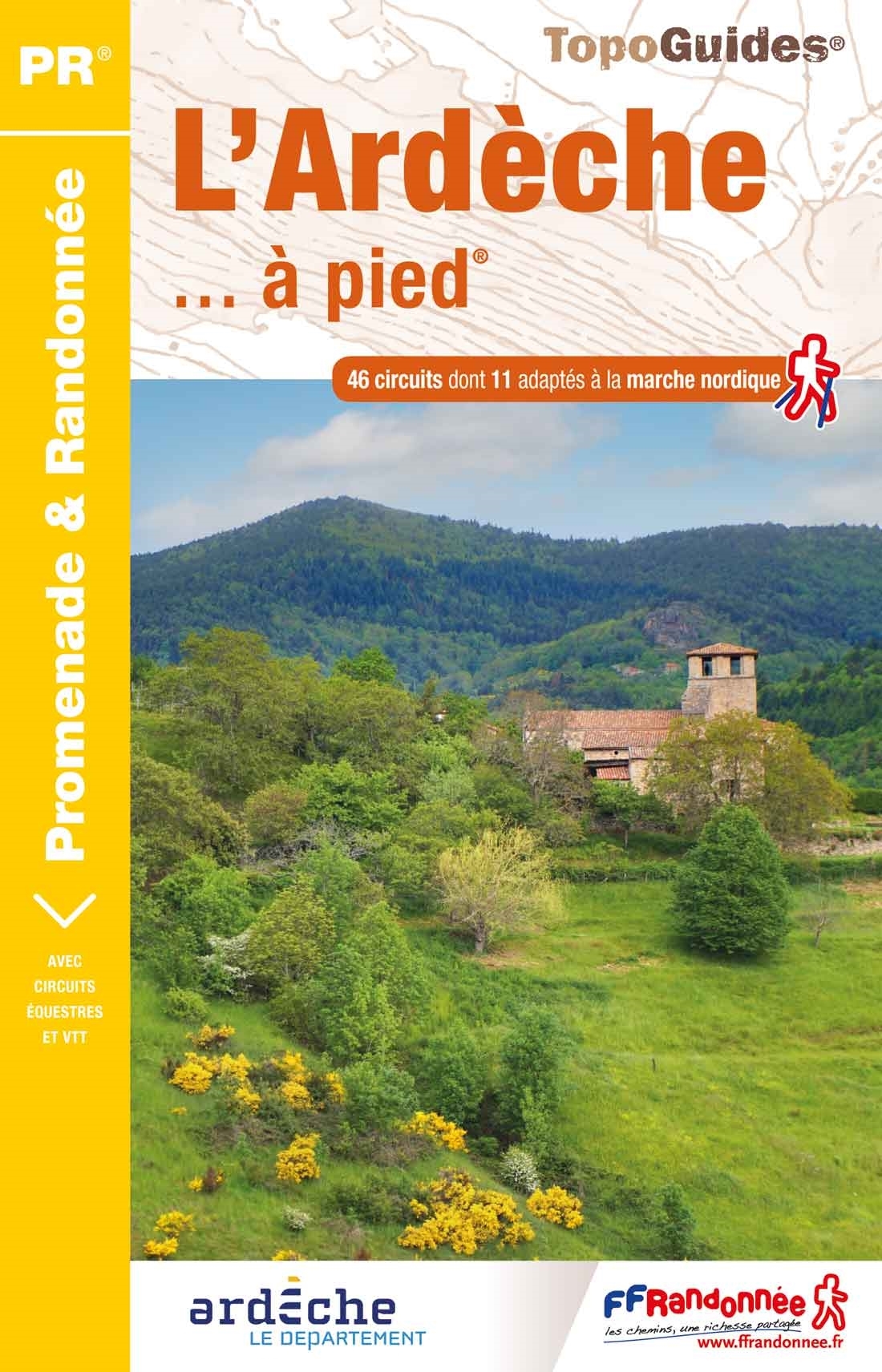
- L`Ardèche à pied D007
- L`Ardèche à pied, FFRP topo-guide Ref. No.D007, with 46 day walks of varying length and difficulty in the department of Ardèche in the Massif Central. Each walk is presented on a separate colour extract from IGN’s topographic survey of France at 1:25,000, with its description cross-referenced to the map. Current edition of this title was... Read more
- Also available from:
- De Zwerver, Netherlands
De Zwerver
Netherlands
2011
Netherlands
2011
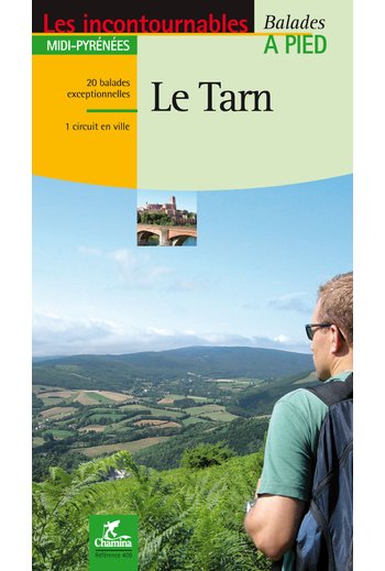
- Wandelgids le Tarn | Chamina
- Franstalige wandelgids (met Ned. woordenlijst) met gedetailleerde kaarten, routebeschrijvingen en wetenswaardigheden. Fraai geillustreerd. Le territoire concerné Couverture harmonieuse de tout le département, de l’Albigeois (Albi est classée Patrimoine Mondial de l’Unesco depuis août 2010), aux monts de Lacaune en passant par la Montagne Noire,... Read more
Maps
Stanfords
United Kingdom
United Kingdom
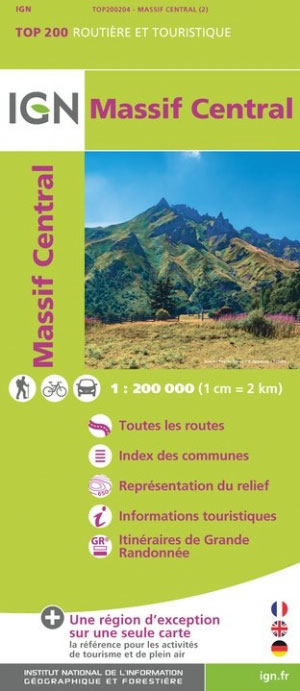
- Massif Central IGN Top200 204
- Pyrénées Ouest map from the IGN at 1:200,000, with excellent presentation of the terrain through contours and vivid relief shading, plenty of names of topographic features, long-distance GR hiking routes, places of interest, etc. The map is designed to provide convenient coverage of the western and central part of the Pyrenees, extending across... Read more

Stanfords
United Kingdom
United Kingdom
- Auvergne-Rhone-Alpes - Massif Central IGN Regional NR14 DOUBLE-SIDED
- IGN publishes its new collection of regional maps including the official division of the 13 new regions. The largest regions are well represented on a single map. These maps are double sided and in 6 languages. Read more

Stanfords
United Kingdom
United Kingdom
- Mgoun Massif, Central High Atlas Mountains
- Mgoun Massif in the Central High Atlas Mountains of Morocco on a ridge-type map at 1:100,000 from West Col Publications. The map is centred on the peak of Oumsoud and covers an area measuring approximately 80 km east/west and 50 km north south. An inset extends the coverage north-eastwards to include the Jbel Aroudan peak.Ridge maps do not... Read more