Picardie
Description
Trails in this region
Links
Facts
Reports
Guides and maps
Lodging
Organisations
Tour operators
GPS
Other
Books

Stanfords
United Kingdom
2015
United Kingdom
2015
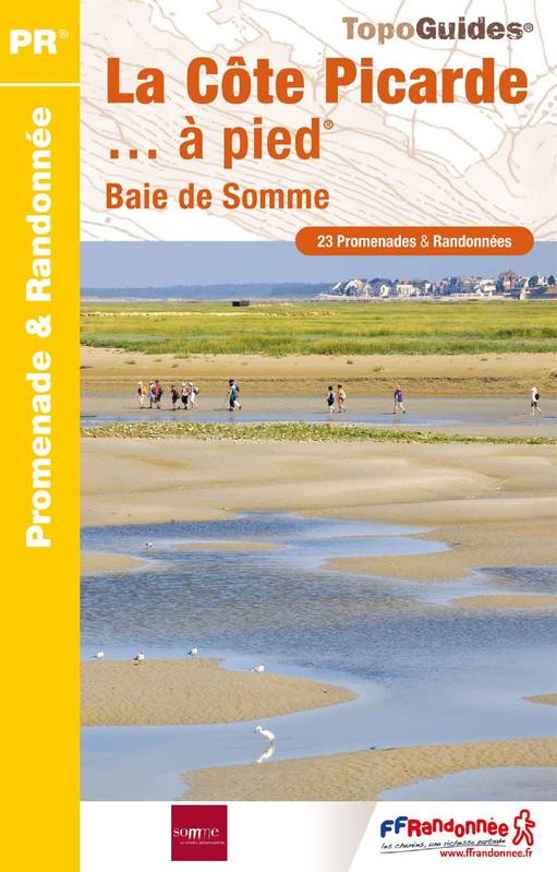
- La Côte Picarde à pied FFRP Topo-guide No. P804
- La Côte Picarde à pied, FFRP topo-guide Ref. No.P804, with 26 day walks of varying length and difficulty in the area around Amiens and the estuary of the Somme. Each walk is presented on a separate colour extract from IGN’s topographic survey of France at 1:25,000, with its description cross-referenced to the map. Current edition of this title... Read more

Stanfords
United Kingdom
2014
United Kingdom
2014
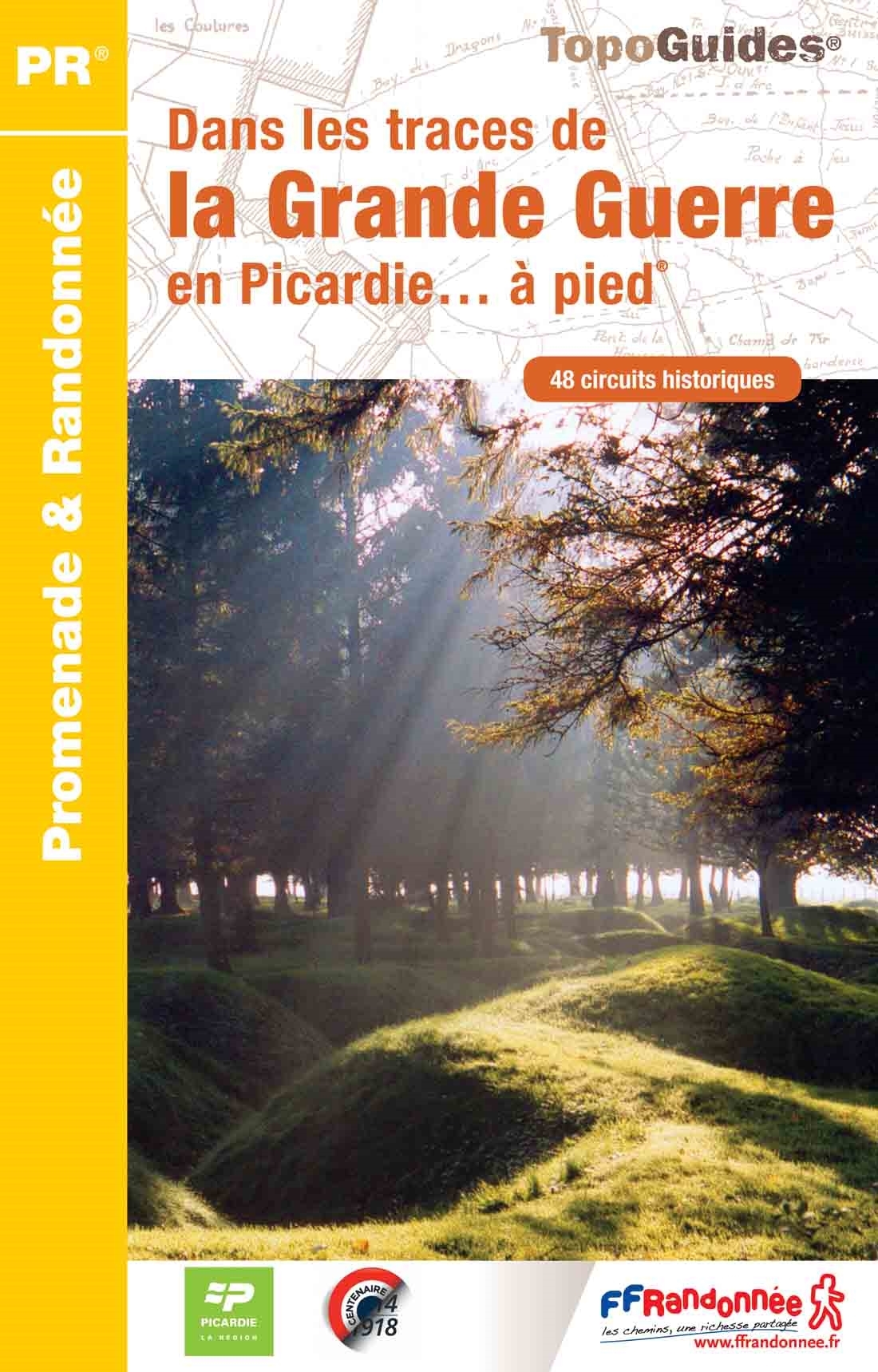
- Dans les traces de la Grande Guerre en Picardie à pied FFRP Topo-guide No. RE15
- Dans les traces de la Grande Guerre en Picardie à pied, FFRP topo-guide Ref. No. RE15, published to present World War I sites in Picardy, including the Somme battlefields and locations further south and east around the Compiègne forest, Soissons and the Chemin des Dames. The guides covers 50 walks, each highlighted on a separate colour extract... Read more
- Also available from:
- De Zwerver, Netherlands
De Zwerver
Netherlands
2014
Netherlands
2014
- Wandelgids RE15 Dans les traces de la Grande Guerre en Picardie… à pied | FFRP
- Franstalige wandelgids met een beschrijving van een aantal dagtochten. Uitstekende beschrijvingen met duidelijk kaartmateriaal. Mislopen is nauwelijks mogelijk, maar ja .. de franse taal! Ook praktische informatie staat in deze gids. Alle gidsen bevatten een door ons toegevoegde uitgebreide frans - nederlandse wandelwoordenlijst. À l’occasion... Read more
- Also available from:
- De Zwerver, Netherlands


Stanfords
United Kingdom
United Kingdom
- Purbeck & South Dorset - Poole, Dorchester - Weymouth & Swanage OS Explorer Active Map OL15 (waterproof)
- Purbeck and the southern part of Dorset on a detailed topographic and GPS compatible map OL15, waterproof version, from the Ordnance Survey’s 1:25,000 Explorer series. Coverage extends from Poole and Swanage in the east to Bridport in the west, and includes Dorchester, Tolpuddle, Bere Regis, Wareham, Weymouth, Chesil Beach, Portland Bill, the... Read more
- Also available from:
- The Book Depository, United Kingdom

The Book Depository
United Kingdom
United Kingdom

Stanfords
United Kingdom
2019
United Kingdom
2019
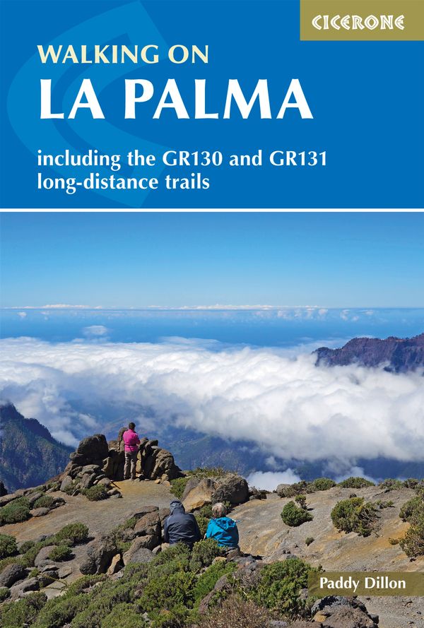
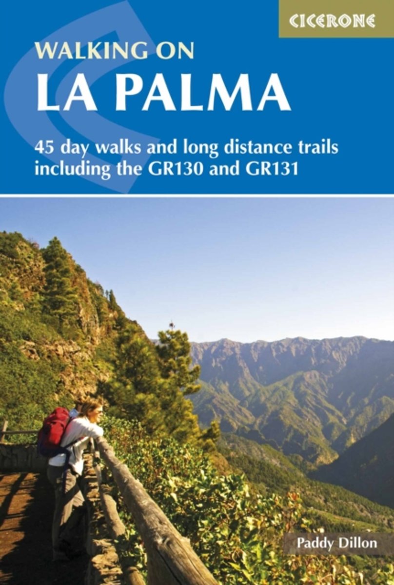
- Walking on La Palma: Including the GR130 and GR131 long-distance trails
- Guide to walking on La Palma. In total 45 day walks are described ranging from 7 to 32km in length, and covering a wide variety of terrain. Although La Palma is one of the smaller Canary Islands, there are routes of all types from easy strolls to hands-on scrambling, from simple day walks to long-distance treks on rocky mountain paths,... Read more
- Also available from:
- The Book Depository, United Kingdom
- De Zwerver, Netherlands

The Book Depository
United Kingdom
2019
United Kingdom
2019
- Walking on La Palma
- Including the GR130 and GR131 long-distance trails Read more
De Zwerver
Netherlands
2019
Netherlands
2019
- Wandelgids Walking on La Palma | Cicerone
- Guidebook to 45 walks and scrambles on La Palma in the Canary Islands, ranging from 7 to 31km. Some walks combine to complete the GR130 long-distance trail (eight days) and GR131 trail (three days). Areas explored include Santa Cruz and Buenavista. Contains a Spanish-English glossary. Read more
De Zwerver
Netherlands
2017
Netherlands
2017
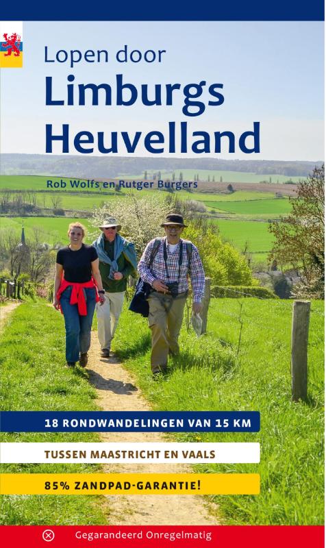
- Wandelgids Lopen door Limburgs Heuvelland | Gegarandeerd Onregelmatig
- 18 rondwandelingen van 15 km tussen Maastricht en Vaals Read more
Bol.com
Netherlands
2017
Netherlands
2017
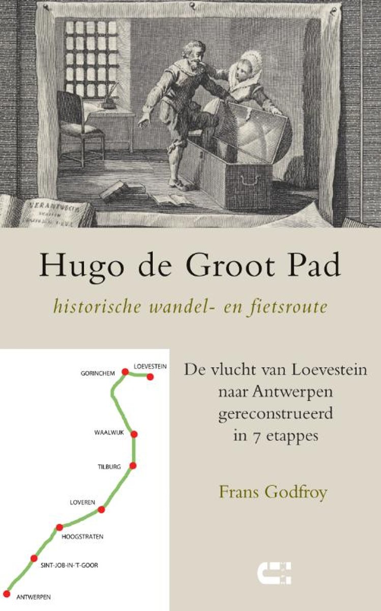
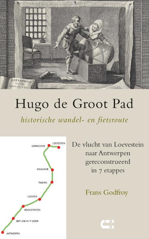
- Hugo de Groot Pad, historische wandel- en fietsroute
- Tophit uit de vaderlandse geschiedenis: de ontsnapping van Hugo de Groot in de boekenkist. Sinds die verbazingwekkende stunt op 22 maart 1621 is het verhaal nooit meer weggeweest uit het collectieve geheugen. Maar veel details over die gevaarlijke tocht naar het veilige Spaanse gebied komen we doorgaans niet aan de weet. Wel hebben zich in de... Read more
- Also available from:
- Bol.com, Belgium
- De Zwerver, Netherlands
Bol.com
Belgium
2017
Belgium
2017
- Hugo de Groot Pad, historische wandel- en fietsroute
- Tophit uit de vaderlandse geschiedenis: de ontsnapping van Hugo de Groot in de boekenkist. Sinds die verbazingwekkende stunt op 22 maart 1621 is het verhaal nooit meer weggeweest uit het collectieve geheugen. Maar veel details over die gevaarlijke tocht naar het veilige Spaanse gebied komen we doorgaans niet aan de weet. Wel hebben zich in de... Read more
De Zwerver
Netherlands
2017
Netherlands
2017
- Wandelgids Hugo de Groot Pad, historische wandel- en fietsroute | Uitgeverij IJzer
- Tophit uit de vaderlandse geschiedenis: de ontsnapping van Hugo de Groot in de boekenkist. Sinds die verbazingwekkende stunt op 22 maart 1621 is het verhaal nooit meer weggeweest uit het collectieve geheugen. Maar veel details over die gevaarlijke tocht naar het veilige Spaanse gebied komen we doorgaans niet aan de weet. Wel hebben zich in de... Read more
Bol.com
Netherlands
Netherlands
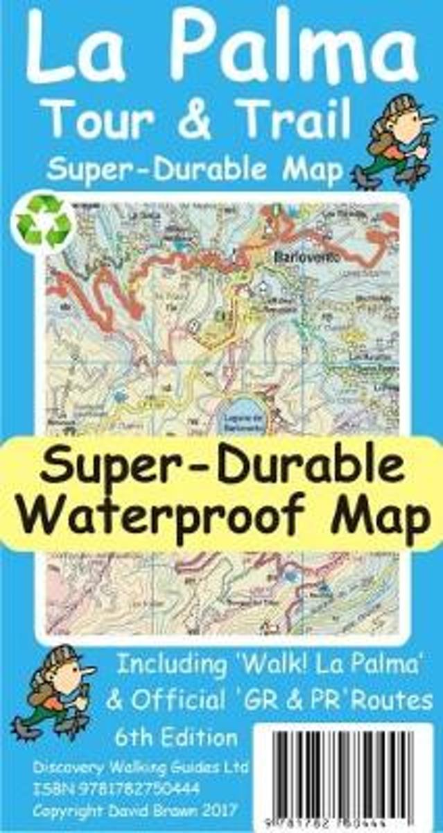
- La Palma Tour & Trail Super-Durable Map
- La Palma Tour & Trail Super-Durable Map 4th edition isbn 9781904946922. New 2013 4th Edition of our La Palma Tour & Trail Super-Durable Map is now available. Our large 1:40,000 scale, combined with splitting the island into a North (Landscape view) and South (Portrait view) with a generous overlap, produces double sided map whose total size is... Read more
- Also available from:
- Bol.com, Belgium
Bol.com
Belgium
Belgium
- La Palma Tour & Trail Super-Durable Map
- La Palma Tour & Trail Super-Durable Map 4th edition isbn 9781904946922. New 2013 4th Edition of our La Palma Tour & Trail Super-Durable Map is now available. Our large 1:40,000 scale, combined with splitting the island into a North (Landscape view) and South (Portrait view) with a generous overlap, produces double sided map whose total size is... Read more
De Zwerver
Netherlands
2022
Netherlands
2022
Bol.com
Netherlands
Netherlands
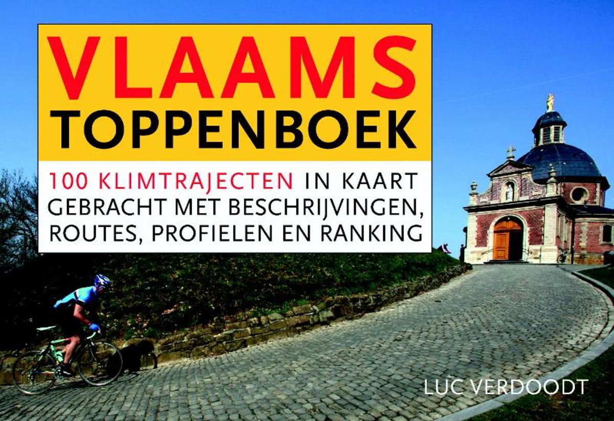
- Het Vlaams toppenboek - dwarsligger (compact formaat)
- De Vlaamse Ardennen, het Hageland, Voeren, het West-Vlaamse Heuvelland... Vlaanderen mag dan het vlakke land heten, wielerfanaten kunnen toch op behoorlijk veel plekken al dan niet op het grote verzet een 'berg' beklimmen en bedwingen.In het Vlaams Toppenboek wordt een ranking gemaakt van 100 bekende en minder bekende heuvels, hellingen, toppen... Read more
- Also available from:
- Bol.com, Belgium
Bol.com
Belgium
Belgium
- Het Vlaams toppenboek - dwarsligger (compact formaat)
- De Vlaamse Ardennen, het Hageland, Voeren, het West-Vlaamse Heuvelland... Vlaanderen mag dan het vlakke land heten, wielerfanaten kunnen toch op behoorlijk veel plekken al dan niet op het grote verzet een 'berg' beklimmen en bedwingen.In het Vlaams Toppenboek wordt een ranking gemaakt van 100 bekende en minder bekende heuvels, hellingen, toppen... Read more

De Zwerver
Netherlands
2023
Netherlands
2023
Bol.com
Netherlands
2010
Netherlands
2010
- Walking on La Palma
- Guide to walking on La Palma. In total 45 day walks are described ranging from 8km to 32km in length, and covering a wide variety of terrain. Although La Palma is one of the smaller Canary Islands, there are routes of all types from easy strolls to hands-on scrambling, from simple day walks to long distance treks on rocky mountain paths,... Read more
- Also available from:
- Bol.com, Belgium
Bol.com
Belgium
2010
Belgium
2010
- Walking on La Palma
- Guide to walking on La Palma. In total 45 day walks are described ranging from 8km to 32km in length, and covering a wide variety of terrain. Although La Palma is one of the smaller Canary Islands, there are routes of all types from easy strolls to hands-on scrambling, from simple day walks to long distance treks on rocky mountain paths,... Read more
Bol.com
Netherlands
2014
Netherlands
2014
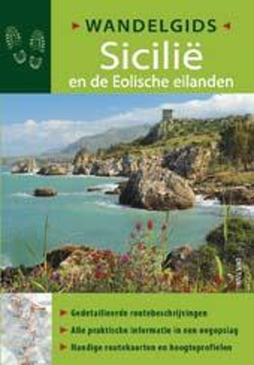
- Wandelgids Sicili
- Gedetailleerde routebeschrijvingen - Alle praktische informatie in een oogopslag - Handige routekaarten en hoogteprofielenInformatief en overzichtelijk- Alle belangrijke gegevens voor je vertrek in n oogopslag: moeilijkheidsgraad, afstand en hoogtemeters, geschatte wandeltijd, karakter van de wandeling, en meer- Handige ori ntatiepunten... Read more
- Also available from:
- Bol.com, Belgium
Bol.com
Belgium
2014
Belgium
2014
- Wandelgids Sicili
- Gedetailleerde routebeschrijvingen - Alle praktische informatie in een oogopslag - Handige routekaarten en hoogteprofielenInformatief en overzichtelijk- Alle belangrijke gegevens voor je vertrek in n oogopslag: moeilijkheidsgraad, afstand en hoogtemeters, geschatte wandeltijd, karakter van de wandeling, en meer- Handige ori ntatiepunten... Read more
De Zwerver
Netherlands
2012
Netherlands
2012
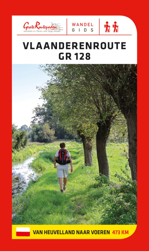
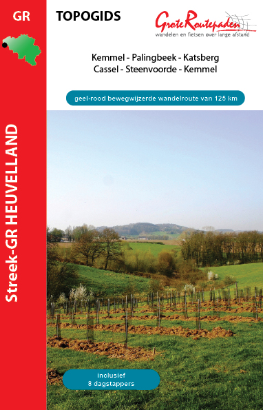
- Wandelgids Streek GR Heuvelland | Grote Routepaden
- 125 km bewegwijzerde wandelpaden op en rond de heuvels van de Westhoek vormt de geel-rode draad van deze topogids. Je ontdekt een uniek wandelgebied met authentieke dorpjes, panoramische vergezichten en ongestoorde natuurgebieden. De Streek-GR Heuvelland is doordrongen van panoramische hoogstandjes: Katsberg en Casselberg, Vidaigneberg,... Read more
Maps

Stanfords
United Kingdom
2016
United Kingdom
2016
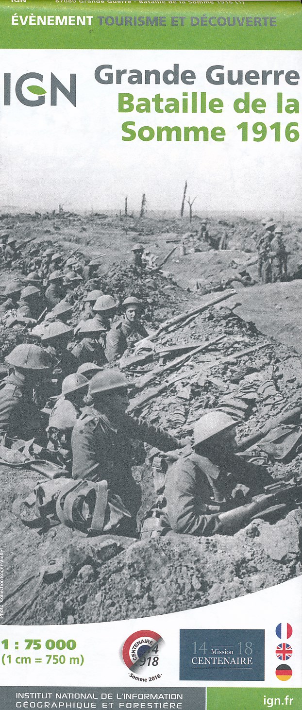
- Battle of the Somme 1916 IGN Map
- Commemorative map published by the IGN for the anniversary of the Battle of the Somme showing the front lines from 1st July to 30th November 1916 and presenting very clearly access to present day remains, monuments and numerous war cemeteries. The map was prepared by IGN in collaboration with La Maison du centenaire de la Première Guerre... Read more
- Also available from:
- De Zwerver, Netherlands
De Zwerver
Netherlands
2016
Netherlands
2016
- Historische Kaart Battle of the Somme 1916 | IGN - Institut Géographique National
- L'IGN édite la carte de « Bataille de la Somme 1916 > pour commémorer son centenaire. Cette carte. à l'échelle du 1 : 75 000 (1cm =750m) Read more
Stanfords
United Kingdom
United Kingdom
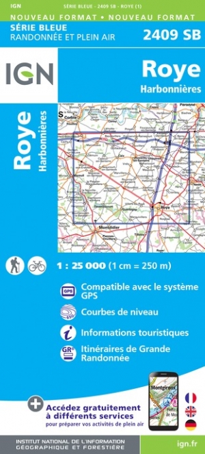
- Roye - Harbonnieres IGN 2409SB
- Topographic survey of France at 1:25,000 in IGN`s excellent TOP25 / Série Bleue series. All the maps are GPS compatible, with a 1km UTM grid plus latitude and longitude lines at 5’ intervals. Contours are at 5m intervals except for mountainous areas where the maps have contours at 10m intervals, vividly enhanced by hill shading and graphics for... Read more
- Also available from:
- De Zwerver, Netherlands


Stanfords
United Kingdom
United Kingdom
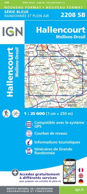
- Hallencourt - Molliens-Dreuil IGN 2208SB
- Between 2014 and 2019, the IGN renewed its entire Serie Bleue collection. A new map for optimal readability, with better geometric precision and enriched tourist information. A new format twice as large: the format of the new Serie Bleue is equivalent to that of the Top 25 and the number of references will thus be divided by 2. For most maps,... Read more
- Also available from:
- De Zwerver, Netherlands

Stanfords
United Kingdom
United Kingdom
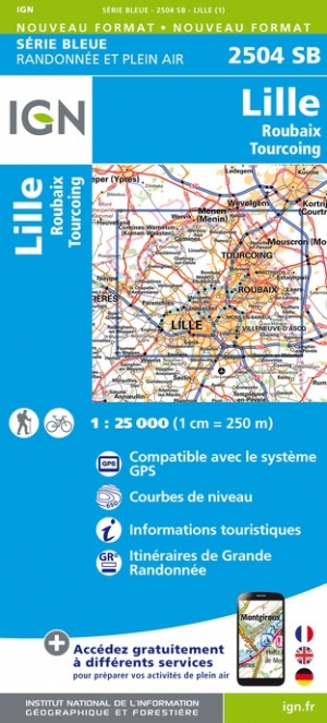
- Lille - Roubaix - Tourcoing IGN 2504SB
- Between 2014 and 2019, the IGN renewed its entire Serie Bleue collection. A new map for optimal readability, with better geometric precision and enriched tourist information. A new format twice as large: the format of the new Serie Bleue is equivalent to that of the Top 25 and the number of references will thus be divided by 2. For most maps,... Read more
- Also available from:
- De Zwerver, Netherlands

Stanfords
United Kingdom
United Kingdom
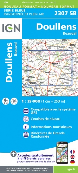
- Doullens - Beauval IGN 2307SB
- Between 2014 and 2019, the IGN renewed its entire Serie Bleue collection. A new map for optimal readability, with better geometric precision and enriched tourist information. A new format twice as large: the format of the new Serie Bleue is equivalent to that of the Top 25 and the number of references will thus be divided by 2. For most maps,... Read more
- Also available from:
- De Zwerver, Netherlands

Stanfords
United Kingdom
United Kingdom
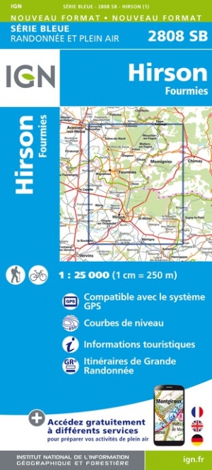
- Hirson - Fourmies IGN 2808SB
- Between 2014 and 2019, the IGN renewed its entire Serie Bleue collection. A new map for optimal readability, with better geometric precision and enriched tourist information. A new format twice as large: the format of the new Serie Bleue is equivalent to that of the Top 25 and the number of references will thus be divided by 2. For most maps,... Read more
- Also available from:
- De Zwerver, Netherlands

Stanfords
United Kingdom
United Kingdom
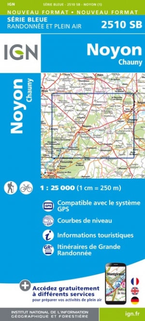
- Noyon - Chauny IGN 2510SB
- Between 2014 and 2019, the IGN renewed its entire Serie Bleue collection. A new map for optimal readability, with better geometric precision and enriched tourist information. A new format twice as large: the format of the new Serie Bleue is equivalent to that of the Top 25 and the number of references will thus be divided by 2. For most maps,... Read more
- Also available from:
- De Zwerver, Netherlands

Stanfords
United Kingdom
United Kingdom
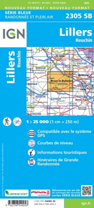
- Lillers - Heuchin IGN 2305SB
- Between 2014 and 2019, the IGN renewed its entire Serie Bleue collection. A new map for optimal readability, with better geometric precision and enriched tourist information. A new format twice as large: the format of the new Serie Bleue is equivalent to that of the Top 25 and the number of references will thus be divided by 2. For most maps,... Read more
- Also available from:
- De Zwerver, Netherlands
Stanfords
United Kingdom
United Kingdom
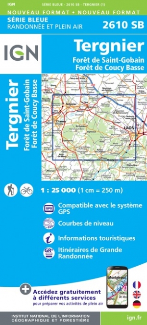
- Tergnier - Foret de Saint-Gobain - Foret de Coucy Basse IGN 2610SB
- Between 2014 and 2019, the IGN renewed its entire Serie Bleue collection. A new map for optimal readability, with better geometric precision and enriched tourist information. A new format twice as large: the format of the new Serie Bleue is equivalent to that of the Top 25 and the number of references will thus be divided by 2. For most maps,... Read more
- Also available from:
- De Zwerver, Netherlands


Stanfords
United Kingdom
United Kingdom
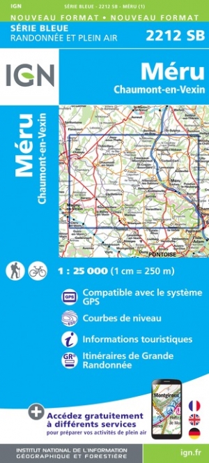
- Meru - Chaumont-en-Vexin IGN 2212SB
- Topographic survey of France at 1:25,000 in IGN`s excellent TOP25 / Série Bleue series. All the maps are GPS compatible, with a 1km UTM grid plus latitude and longitude lines at 5’ intervals. Contours are at 5m intervals except for mountainous areas where the maps have contours at 10m intervals, vividly enhanced by hill shading and graphics for... Read more
- Also available from:
- De Zwerver, Netherlands

Stanfords
United Kingdom
United Kingdom
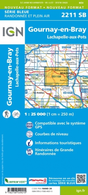
- Gournay-en-Bray - Lachapelle-aux-Pots IGN 2211SB
- Between 2014 and 2019, the IGN renewed its entire Serie Bleue collection. A new map for optimal readability, with better geometric precision and enriched tourist information. A new format twice as large: the format of the new Serie Bleue is equivalent to that of the Top 25 and the number of references will thus be divided by 2. For most maps,... Read more
- Also available from:
- De Zwerver, Netherlands

Stanfords
United Kingdom
United Kingdom
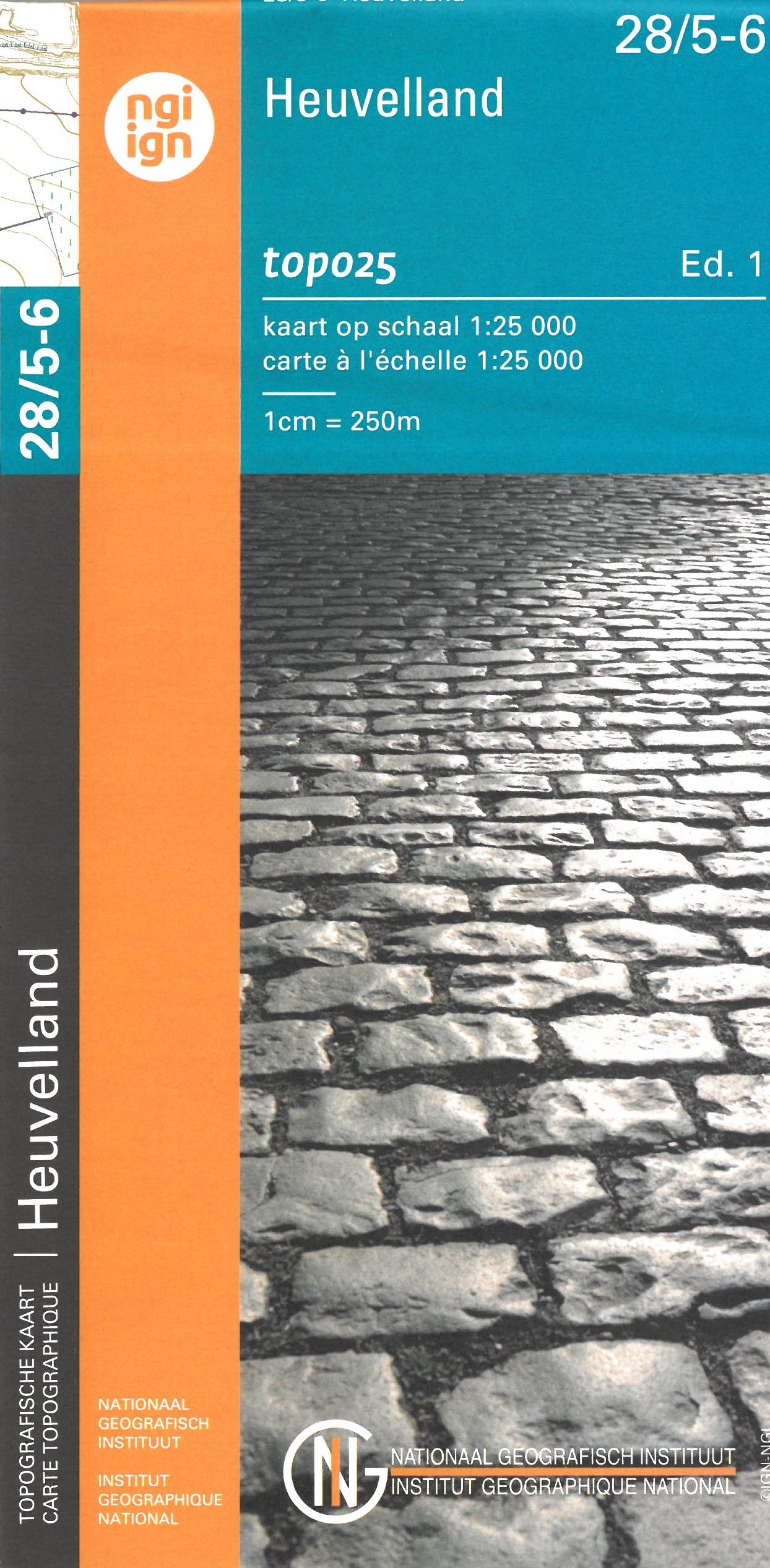
- Heuvelland NGI Topo 28/5-6 - WWI Ypres Salient Battlefields
- Heuvelland - Mesen (Messines), map No. 28/5-6 in the topographic survey of Belgium at 1:20,000 covering the World War I battlefields area between St-Elooi and Ploegsteert, including Wijtschate. Please note that areas on the French side of the border, around Bailleul and St-Jans-Cappel in the west and across the Lys in the south-eastern corner,... Read more
- Also available from:
- De Zwerver, Netherlands
De Zwerver
Netherlands
Netherlands
- Wandelkaart - Topografische kaart 28/5-6 Topo25 Heuvelland | NGI - Nationaal Geografisch Instituut
- Zeer gedetailleerde topografische kaart van een deel van Belgie. Deze kaart is bijzonder geschikt voor wandeltochten, bijvoorbeeld in het heuvelachtige gebied van de Ardennen. Wel moet u bedenken dat op deze kaarten wandelroutes als zodanig niet staan ingetekend. Voorzien van alle topografische details als hoogtelijnen, waterlopen, bosgebieden,... Read more

Stanfords
United Kingdom
United Kingdom
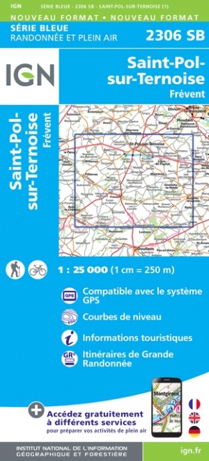
- Saint-Pol-sur-Ternoise - Frevent IGN 2306SB
- Between 2014 and 2019, the IGN renewed its entire Serie Bleue collection. A new map for optimal readability, with better geometric precision and enriched tourist information. A new format twice as large: the format of the new Serie Bleue is equivalent to that of the Top 25 and the number of references will thus be divided by 2. For most maps,... Read more
- Also available from:
- De Zwerver, Netherlands

Stanfords
United Kingdom
United Kingdom
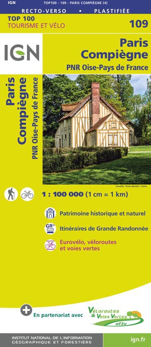
- Paris - Compiegne - PNR Oise-Pays de France IGN TOP100 109
- Discover the new double-sided laminated edition of TOP100 road maps of France from the Institut Géographique National (IGN); exceptionally detailed, contoured road maps which include the cycle paths and greenways of the AF3V (French Association for the Development of Cycle Paths and Greenways), ideal for exploring the French countryside by car,... Read more
- Also available from:
- De Zwerver, Netherlands

Stanfords
United Kingdom
United Kingdom
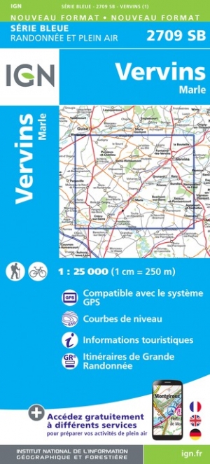
- Vervins - Marle IGN 2709SB
- Between 2014 and 2019, the IGN renewed its entire Serie Bleue collection. A new map for optimal readability, with better geometric precision and enriched tourist information. A new format twice as large: the format of the new Serie Bleue is equivalent to that of the Top 25 and the number of references will thus be divided by 2. For most maps,... Read more
- Also available from:
- De Zwerver, Netherlands