
Nordrhein-Westfalen
Description
Trails in this state
- Ahr-Venn-WegGPX
- AhrtalwegGPX
- Bückebergweg
- BurgensteigGPX
- Christine Kochweg GPX
- E1GPX
- E11GPX
- E8GPX
- Eder HöhenwegGPX
- EggewegGPX
- EhmsenwegGPX
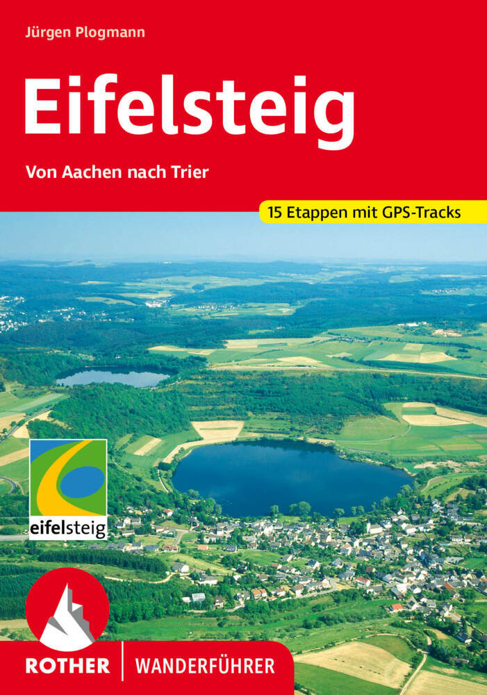
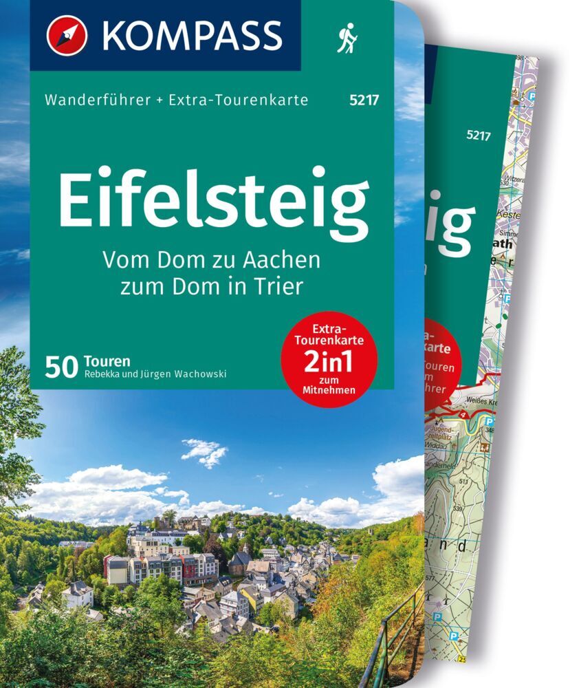
- EifelsteigGPX
- ElisabethpfadGPX
- EmmerwegGPX
- Ems-Hase-Hunte-ElsewegGPX
- EmswegGPX
- Erft-Lieser-Mosel-Weg GPX
- GR15 - AE - Ardennes-EifelGPX
- Graf EngelbertwegGPX
- HansawegGPX
- HermannshöhenGPX
- HermannswegGPX
- Hessenweg 2GPX
- Hessenweg 4GPX
- Hessenweg 6GPX
- Jacobspad LimburgGPX
- Josef-Schramm-Weg GPX
- Kaiser OttowegGPX
- Karl-Kaufmann-WegGPX
- KarolingerwegGPX
- KölnpfadGPX
- KrönungswegGPX
- LahnhöhenwegGPX
- LönspfadGPX
- Maas-NiederrheinpadGPX
- MarskramerpadGPX
- MatthiaswegGPX
- MühlensteigGPX
- MühlenwegGPX
- Medebacher BergwegGPX
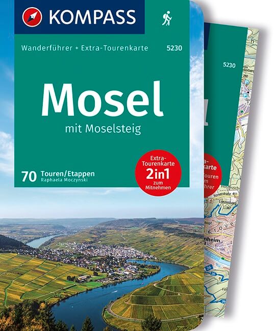
- MoselhöhenwegGPX
- MoselsteigGPX
- Natursteig SiegGPX
- NiederrheinwegGPX
- NoaberpadGPX
- Oude IJssel-Rijnpad
- PlackwegGPX
- Römerkanal WanderwegGPX
- RennwegGPX
- Rhein-Kyll-WegGPX
- Rhein-Rureifel-Weg GPX
- RheinhöhenwegGPX
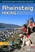
- RheinsteigGPX
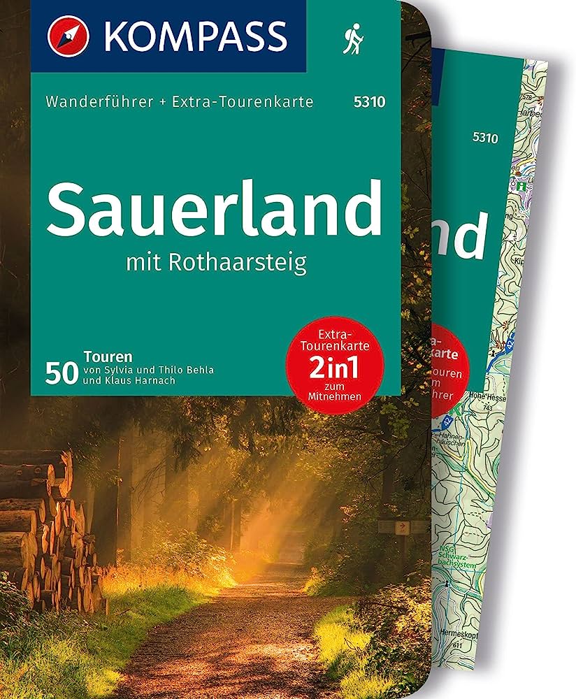
- RothaarsteigGPX
- RothaarwegGPX
- Ruhr HöhenwegGPX
- RunenwegGPX
- Sauerland WaldrouteGPX
- Siegerland HöhenringGPX
- Sintfeld HöhenwegGPX
- TalsperrenwegGPX
- TöddenwegGPX
- VulkanwegGPX
- Wanderweg der Deutschen EinheitGPX
- WeserberglandwegGPX
- WesergebirgswegGPX
- Westfalen WanderwegGPX
- Wildnis TrailGPX
- WillibrorduswegGPX
- Winterberger HochtourGPX
- WupperwegGPX
Links
Facts
Reports
Guides and maps
Lodging
Organisations
Tour operators
GPS
Other
Books

Stanfords
United Kingdom
United Kingdom
- Münsterland 3-Map Set Kompass 849
- The Münsterland region of North Rhine-Westphalia on a set of three detailed, GPS compatible maps at 1:50,000 from Kompass with local and long-distance footpaths, cycling routes, accommodation, etc. Coverage extends north to Osnabrück and Enschede in the Netherlands, and south to Hamm and Reckinghausen.KOMPASS HIKING & RECREATIONAL MAPS:This... Read more
- Also available from:
- De Zwerver, Netherlands

De Zwerver
Netherlands
2022
Netherlands
2022

- Also available from:
- De Zwerver, Netherlands
De Zwerver
Netherlands
2022
Netherlands
2022
- Wandelgids Eifelsteig | Rother Bergverlag
- Goede gids met duidelijke kaarten en mooie foto's beschrijft de prachtige wandeltocht van Aachen, vlakbij het drielandenpunt, naar Trier in 15 etappes. De route voert langs prachtige rotsgebieden zoals de Gerolsteiner Dolomieten met watervallen. De Rother wandelgidsen beschrijven zeer goed de wandelingen in specifieke gebieden. In de gids... Read more

Bol.com
Netherlands
Netherlands
- EifelSteig Schöneres Wandern Pocket
- Auf den Spuren der Römer durch die nördliche Eifel, zu malerischen Burgen des Mittelalters und durch romantische Fachwerkstädte: Der Eifelsteig verbindet die Kaiserstadt Aachen mit der Römerstadt Trier. Dazwischen liegen mehr als 330 abwechslungsreiche Kilometer mit herrlichen Ausblicken auf eine durch Wasser-, Wiesen und Wälder geprägte... Read more
- Also available from:
- Bol.com, Belgium
Bol.com
Belgium
Belgium
- EifelSteig Schöneres Wandern Pocket
- Auf den Spuren der Römer durch die nördliche Eifel, zu malerischen Burgen des Mittelalters und durch romantische Fachwerkstädte: Der Eifelsteig verbindet die Kaiserstadt Aachen mit der Römerstadt Trier. Dazwischen liegen mehr als 330 abwechslungsreiche Kilometer mit herrlichen Ausblicken auf eine durch Wasser-, Wiesen und Wälder geprägte... Read more
Bol.com
Netherlands
2019
Netherlands
2019
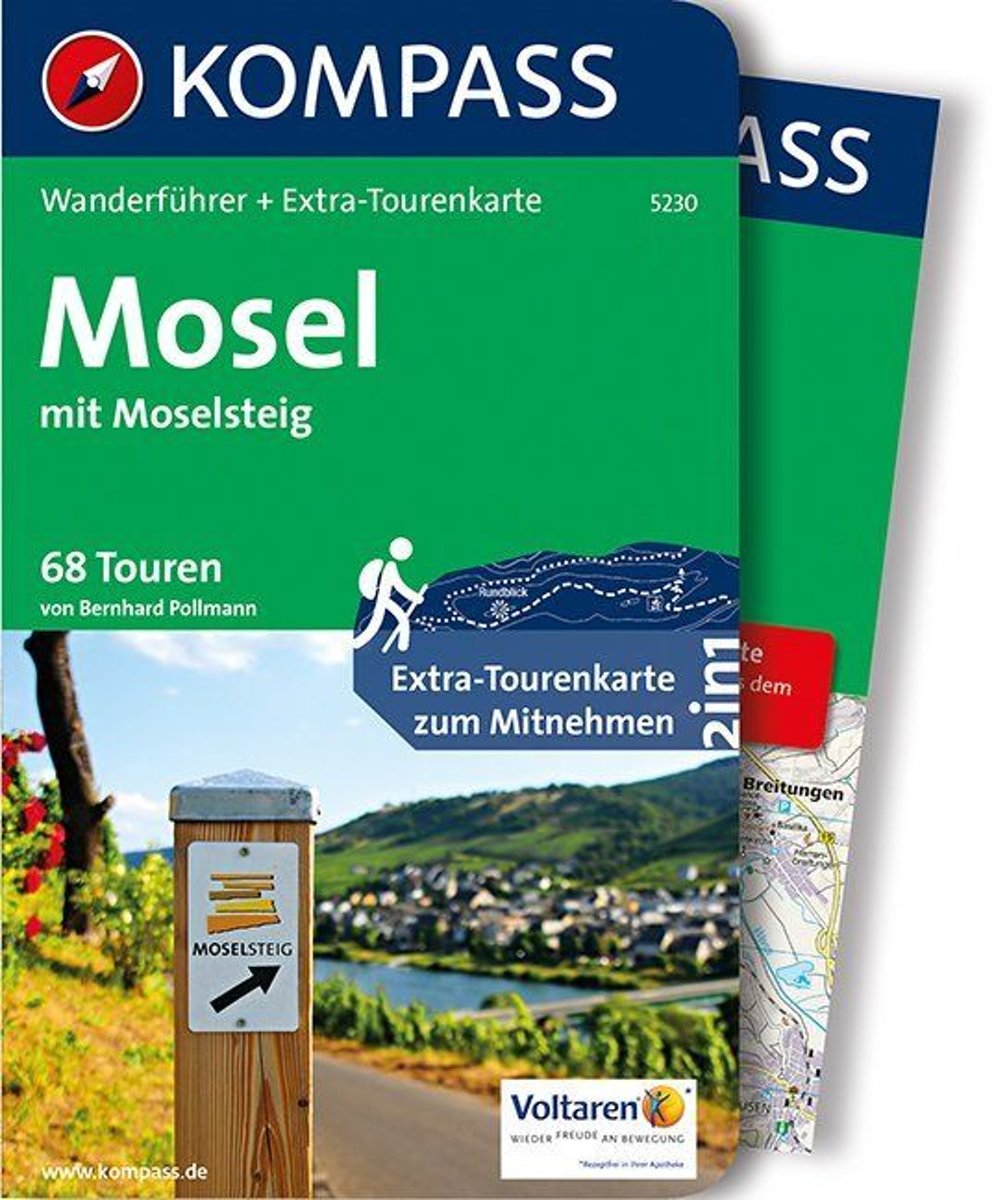
- WF5230 Mosel mit Moselsteig Kompass
- De Kompass wandelgids + kaart geeft een overzicht van alle wandelroutes in het gebied met nauwkeurige routeaanwijzingen en hoogteaanduidingen. De extra grote kaart, schaal 1:35 000, is ideaal om van te voren uw route uit te stippelen en om onderweg te gebruiken; naast de bekende bestemmingen, worden ook de minder bekende vermeld; openbaar... Read more
- Also available from:
- Bol.com, Belgium
Bol.com
Belgium
2019
Belgium
2019
- WF5230 Mosel mit Moselsteig Kompass
- De Kompass wandelgids + kaart geeft een overzicht van alle wandelroutes in het gebied met nauwkeurige routeaanwijzingen en hoogteaanduidingen. De extra grote kaart, schaal 1:35 000, is ideaal om van te voren uw route uit te stippelen en om onderweg te gebruiken; naast de bekende bestemmingen, worden ook de minder bekende vermeld; openbaar... Read more
De Zwerver
Netherlands
2019
Netherlands
2019
De Zwerver
Netherlands
2013
Netherlands
2013
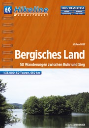
- Wandelgids Hikeline Bergisches Land | Esterbauer
- Handzame gids met een goede beschrijving van een groot aantal dagtochten in dit gebied. De gids is in spiraalbinding en elke pagina is op scheur- en watervast papier gedrukt. Daar is echt over nagedacht! Das Bergische Land Das Bergische Land ist ein nordwestlicher Ausläufer des Rheinischen Schiefergebirges. Es steigt terrassenartig vom Rheintal... Read more

De Zwerver
Netherlands
2020
Netherlands
2020
- Wandelkaart - Wandelgids Moselsteig | IdeeMedia
- Complete gids + kaartenset om de Moselsteig te lopen langs de Moezel van Perl bij Schengen via Trier en Cochem naar Koblenz aan de Rijn. Totaal 365 km. Beschrijving van 24 wandeletappes met belangrijke informatie voor onderweg. Detailkaartjes en hoogteprofielen, overnachtingsadressen, bezienswaardigheden. Bij het boek horen 3 topografische... Read more
De Zwerver
Netherlands
2023
Netherlands
2023
Bol.com
Netherlands
Netherlands
- Rheinsteig Hiking - Your pocket guide to unmissable highlights
- The 320km Rheinsteig in south-west Germany follows the twists and turns of the Rhine on its eastern bank from Bonn in North Rhine-Westphalia through Rhineland-Palatinate to Wiesbaden in the Rheingau. Narrow paths guide you through stunning scenery as you wind your way along cramped rocky gorges, up and over precipitous cliffs, past beautifully... Read more
- Also available from:
- Bol.com, Belgium
Bol.com
Belgium
Belgium
- Rheinsteig Hiking - Your pocket guide to unmissable highlights
- The 320km Rheinsteig in south-west Germany follows the twists and turns of the Rhine on its eastern bank from Bonn in North Rhine-Westphalia through Rhineland-Palatinate to Wiesbaden in the Rheingau. Narrow paths guide you through stunning scenery as you wind your way along cramped rocky gorges, up and over precipitous cliffs, past beautifully... Read more
De Zwerver
Netherlands
2016
Netherlands
2016
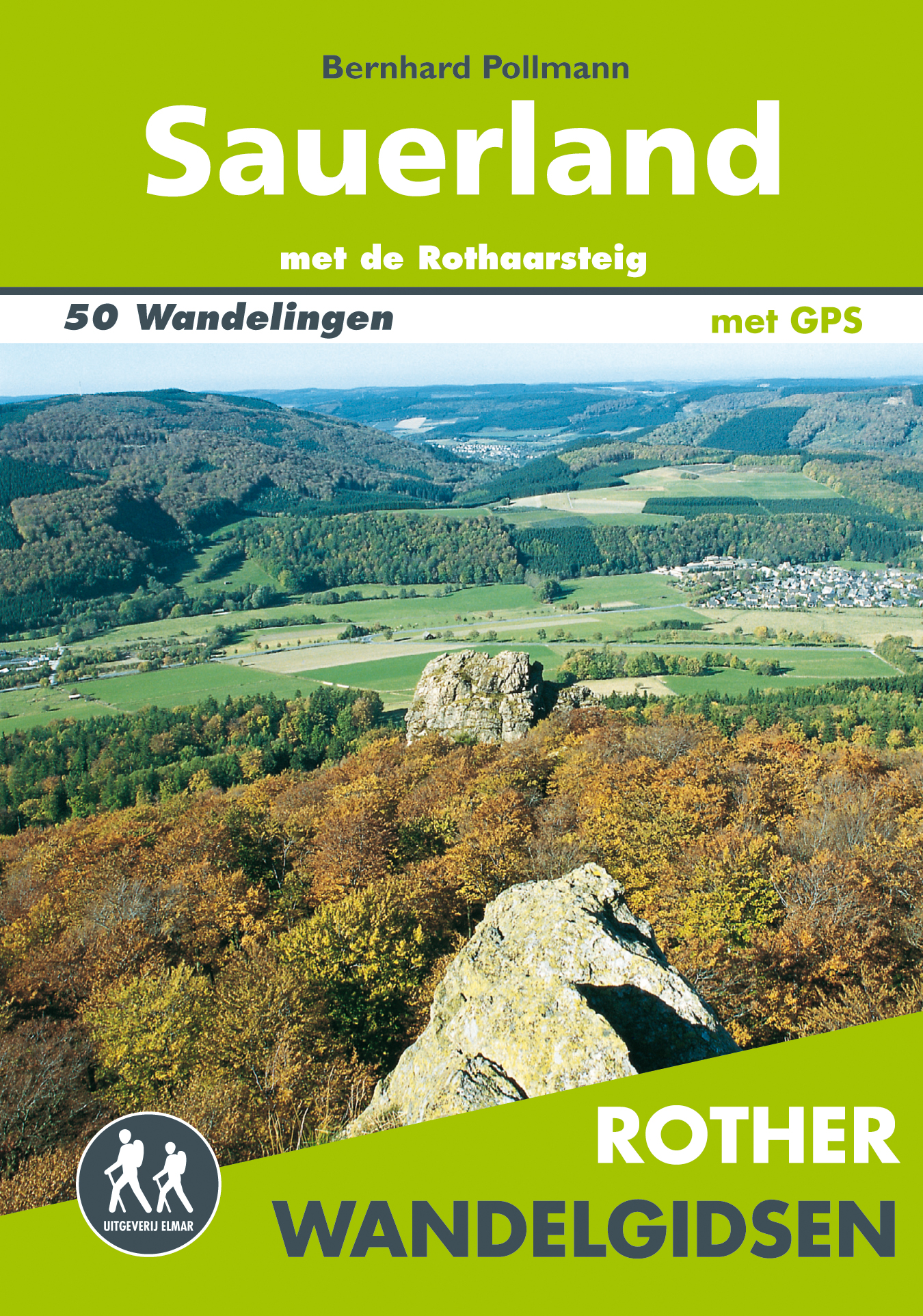
- Wandelgids Sauerland | Uitgeverij Elmar
- met de Rothaarsteig – 50 wandelingen Read more
Maps

Stanfords
United Kingdom
United Kingdom
- Transrhodopi - Long distance hiking and biking trail From Trigrad to Ivaylovgrad
- Western Rhodope Mountains at 1:100,000 on a contoured GPS compatible map from Domino extending from just west of the Pirin National Park to Asenovgrad in the north-east. The map is double-sided with a good overlap between the sides. Topography is shown by contours at 50m intervals with relief shading and spot heights, plus colouring for... Read more

Stanfords
United Kingdom
United Kingdom
- Naturpark Mass - Schwalm - Nette 50K Kümmerly + Frey Map No. 62
- Naturpark Mass - Schwalm – Nette in Germany at 1:50,000 from Kümmerly+Frey in a series GPS compatible, double-sided maps printed on durable, waterproof and tear-resistant plastic paper; contoured, with hiking and cycle routes, other recreational activities, etc.Maps in this series are at a scale of either 1:50,000 or 1:35,000. Contour interval... Read more

Stanfords
United Kingdom
United Kingdom
- Alpe della Luna 17
- Map No. 16, Monte Carpegna - Sasso di Simone, in series of contoured, GPS compatible hiking maps at 1:25,000 from the Istituto Geografico Adriatico, covering mainly the spine of the Apennines along the borders of Tuscany, Emilia-Romagna, Umbria and the Marches.Map in this series have contours at 25m intervals with additional shading and... Read more
Stanfords
United Kingdom
United Kingdom
- Bagno di Romagna Monti Editore 19
- Map No. 19, Bagno di Romagna, in series of contoured, GPS compatible hiking maps at 1:25,000 from the Istituto Geografico Adriatico, covering mainly the spine of the Apennines along the borders of Tuscany, Emilia-Romagna, Umbria and the Marches.The maps have contours at 25m intervals with additional shading and numerous Map in this series have... Read more

Stanfords
United Kingdom
United Kingdom
- Lower Rhine South Cycling Map
- Niederrhein South on a waterproof, tear-resistant, GPS compatible cycling map at 1:75,000 from the ADFC (Allgemeiner Deutscher Fahrrad-Club - the official German cycling federation), in a series of maps with extensive overprint for long-distance and local cycling routes. GPS waypoints, route profiles, details of online links for information... Read more

Stanfords
United Kingdom
United Kingdom
- Lower Middle Rhine: Bonn to Koblenz 35K Kümmerly + Frey Map No. 31
- Lower Middle Rhine: Bonn to Koblenz at 1:35,000 from Kümmerly+Frey in a series GPS compatible, double-sided maps printed on durable, waterproof and tear-resistant plastic paper; contoured, with hiking and cycle routes, other recreational activities, etc.Maps in this series are at a scale of either 1:50,000 or 1:35,000. Contour interval varies... Read more

Stanfords
United Kingdom
United Kingdom
- Alpe di San Benedetto 21
- Map No. 21, Alpe di San Benedetto: Passo del Muraglione – San Godenzo – Dicomano, in series of contoured, GPS compatible hiking maps at 1:25,000 from the Istituto Geografico Adriatico, covering mainly the spine of the Apennines along the borders of Tuscany, Emilia-Romagna, Umbria and the Marches.Map in this series have contours at 25m intervals... Read more
Stanfords
United Kingdom
United Kingdom
- Monte Carpegna - Sasso di Simone
- Map No. 16, Monte Carpegna - Sasso di Simone, in series of contoured, GPS compatible hiking maps at 1:25,000 from the Istituto Geografico Adriatico, covering mainly the spine of the Apennines along the borders of Tuscany, Emilia-Romagna, Umbria and the Marches.Map in this series have contours at 25m intervals with additional shading and... Read more

Stanfords
United Kingdom
United Kingdom
- The Ruhr East
- The Ruhr East on a waterproof, tear-resistant, GPS compatible cycling map at 1:75,000 from the ADFC (Allgemeiner Deutscher Fahrrad-Club - the official German cycling federation), in a series of maps with extensive overprint for long-distance and local cycling routes. GPS waypoints, route profiles, details of online links for information about... Read more

Stanfords
United Kingdom
United Kingdom
- Alta Valle del Lamone 22
- Map No. 22, Alta Valle del Lamone: Alto Appennino Faentino – Anello di Marradi, in series of contoured, GPS compatible hiking maps at 1:25,000 from the Istituto Geografico Adriatico, covering mainly the spine of the Apennines along the borders of Tuscany, Emilia-Romagna, Umbria and the Marches.Map in this series have contours at 25m intervals... Read more

Stanfords
United Kingdom
United Kingdom
- Foreste Casentinesi NP Monti Editore 20
- Map No. 20, Foreste Casentinesi: Campigna, Camaldoli, Chiusi dell Verna, in series of contoured, GPS compatible hiking maps at 1:25,000 from the Istituto Geografico Adriatico, covering mainly the spine of the Apennines along the borders of Tuscany, Emilia-Romagna, Umbria and the Marches.Map in this series have contours at 25m intervals with... Read more

Stanfords
United Kingdom
United Kingdom
- Appennino Tosco-Romagnolo East
- Map No. 135, Appennino Tosco-Romagnolo East, in a series of GPS compatible hiking maps at 1:50,000 from the Istituto Geografico Adriatico, covering parts of central Italy: eastern Tuscany, with northern Umbria and the Marches, plus the south-eastern of part of Emilia-Romagna.The maps have contours at 50m intervals with additional shading and... Read more

Stanfords
United Kingdom
United Kingdom
- Rheinhessen – Nahe – Nordpfälzer Bergland Kompass 831
- Rheinhessen – Nahe – Nordpfälzer Bergland (No. 831), a detailed, GPS compatible map at 1:50,000 from Kompass with local and long-distance footpaths, cycling routes, accommodation, etc, printed on durable, waterproof and tear-resistant synthetic paper. KOMPASS HIKING & RECREATIONAL MAPS:This title is part of an extensive series covering Austria,... Read more
Stanfords
United Kingdom
United Kingdom
- Alta Val Tiberina
- Map No. 125, Alta Val Tiberina, in a series of GPS compatible hiking maps at 1:50,000 from the Istituto Geografico Adriatico, covering parts of central Italy: eastern Tuscany, with northern Umbria and the Marches, plus the south-eastern of part of Emilia-Romagna.The maps have contours at 50m intervals with additional shading and numerous spot... Read more

Stanfords
United Kingdom
United Kingdom
- Cologne - Bonn
- Cologne – Bonn on a waterproof, tear-resistant, GPS compatible cycling map at 1:75,000 from the ADFC (Allgemeiner Deutscher Fahrrad-Club - the official German cycling federation), in a series of maps with extensive overprint for long-distance and local cycling routes. GPS waypoints, route profiles, details of online links for information about... Read more