
Iceland
Description

This rugged North Atlantic island offers great hiking through surprising nature. Vast lava fields spread out next to massive glaciers. Hot streams emerge from boiling springs. Giant waterfalls come roaring down and of course the famous geysers blow hot steam high into the air at regular intervals. For any hiker who loves wide expanses of clear empty sky, phenomenal views and remoteness. Everything in this country is bigger, larger, more colourful, and wetter. Iceland is paradise.
The volcanic most active part of the island is a band running from the south west to the north east.
There are numerous hiking trails in different parts of Iceland, but not all are clearly waymarked. Given frequent fog and the remoteness of Icelandic nature in general, it is necessary that you always know how to use map and compass. Don’t believe people who argue that a compass will be impaired by the local magnetism: not true. A GPS receiver, and plenty of spare batteries, comes in handy too. The most popular routes pass mountain huts at a day’s hike distance. Make reservations in advance. Always bring your own sleeping bag and food.
The most popular routes are:
- Laugavegur, between active volcanos, glaciers and colourful mountains;
- Kjalvegur, a trading route in the remote interior.
Also think of these good hiking area’s
- Þingvellir, the historic lake and pleasant surroundings;
- Mývatn, a beloved lake in the north;
- The eastern fjords;
- The giant glacier Vatnajökull, with many trails around it;
- The very very lonely north coast;
- Jökulsá á Fjöllum river, with its immense waterfalls and spectacular canyons;
- Hornstrandir, the fjord like north western peninsula.
Although Iceland is not as cold a place as it sounds, hikers must be prepared for frequent and sudden weather changes and fog during all seasons. Also you may have to wade across rivers, and this can be dangerous. The summer months (mid June to mid September) are best for hiking. Prepare well.
Trails
Regions


Links
Facts
Reports
Guides and maps
Lodging
Organisations
Tour operators
GPS
Other
Books

United Kingdom
- The Icelandic Dream
- A Guide to Planning Your Perfect Vacation To Iceland Read more

United Kingdom
- ICELAND, waterfalls, volcanoes, glaciers, canyons, hot springs, lakes, geysers, craters, lava fields
- Smart Travel Guide for Nature Lovers, Hikers, Trekkers, Photographers (budget version, b/w) Read more

United Kingdom
2020
- Moon Iceland (Third Edition)
- Waterfalls, Glaciers & Hot Springs Read more

United Kingdom
2022
- Also available from:
- De Zwerver, Netherlands

United Kingdom
- ICELAND, waterfalls, volcanoes, glaciers, canyons, hot springs, lakes, geysers, craters, lava fields
- Smart Travel Guide for Nature Lovers, Hikers, Trekkers, Photographers Read more

United Kingdom
2020
- Iceland Hiking - with Reykjavik City Guide
- 11 selected trails including 1- to 2-day hikes and The Laugavegur Trek Read more
- Also available from:
- De Zwerver, Netherlands
Netherlands
2020
- Wandelgids Iceland Hiking with Reykjavik City Guide | Trailblazer Guides
- 11 selected trails including 1- to 2-day hikes and The Laugavegur Trek Read more


United Kingdom
- Iceland Travel Guide 2023
- Discover the Hidden Gems of Iceland (Your Ultimate 2023 Travel Guide) Read more
Netherlands
- 111 Places in Iceland That You Shouldn't Miss
- Iceland's specialties are its contrasts. The capital of Reykjavik offers urban life with an unbelievable cultural variety, yet you can find yourself in total isolation as soon as you travel into the barren lava landscapes of the island. Fire and ice have not only shaped the unmistakable face of Iceland, they have also produced a special kind of... Read more
- Also available from:
- Bol.com, Belgium
Belgium
- 111 Places in Iceland That You Shouldn't Miss
- Iceland's specialties are its contrasts. The capital of Reykjavik offers urban life with an unbelievable cultural variety, yet you can find yourself in total isolation as soon as you travel into the barren lava landscapes of the island. Fire and ice have not only shaped the unmistakable face of Iceland, they have also produced a special kind of... Read more
Netherlands
2016
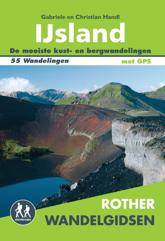
- Wandelgids IJsland | Uitgeverij Elmar
- 55 wandelingen op het 'eiland van vuur en ijs' Read more
Netherlands
2017
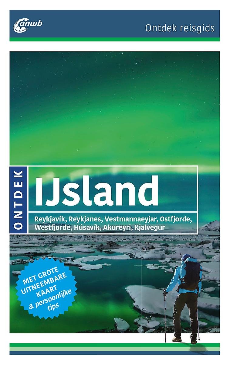
- ANWB Ontdek reisgids - IJsland
- ANWB Ontdek reisgids IJslandVerken IJsland op een andere manier met de uitgebreide ANWB Ontdek reisgids IJsland! Natuurlijk mag je bezienswaardigheden zoals de geisers in Haukadalur en vulkaan Hekla niet missen, maar ga ook eens van de gebaande paden en ga op zoek naar de elfjes in Bakkageroi, wandel over het rode strand Raudasandur of struin... Read more
- Also available from:
- Bol.com, Belgium
Belgium
2017
- ANWB Ontdek reisgids - IJsland
- ANWB Ontdek reisgids IJslandVerken IJsland op een andere manier met de uitgebreide ANWB Ontdek reisgids IJsland! Natuurlijk mag je bezienswaardigheden zoals de geisers in Haukadalur en vulkaan Hekla niet missen, maar ga ook eens van de gebaande paden en ga op zoek naar de elfjes in Bakkageroi, wandel over het rode strand Raudasandur of struin... Read more
Maps

United Kingdom
- Langjökull
- Langjökull, map no. 11, in the topographic survey of Iceland at 1:100,000 published by Mál og menning, with excellent, vivid presentation of the terrain, footpaths and bridleways, campsites, etc. The maps have contours at 20m intervals, enhanced by bold relief shading plus colouring and/or graphics to show glaciers, lava fields, sands and... Read more

United Kingdom
- Veiðivötn
- Veiðivötn, map no. 15, in the topographic survey of Iceland at 1:100,000 published by Mál og menning, with excellent, vivid presentation of the terrain, footpaths and bridleways, campsites, etc. The maps have contours at 20m intervals, enhanced by bold relief shading plus colouring and/or graphics to show glaciers, lava fields, sands and... Read more

United Kingdom
- Hornafjörður
- Hornafjörður, map no. 25, in the topographic survey of Iceland at 1:100,000 published by Mál og menning, with excellent, vivid presentation of the terrain, footpaths and bridleways, campsites, etc. The maps have contours at 20m intervals, enhanced by bold relief shading plus colouring and/or graphics to show glaciers, lava fields, sands and... Read more

United Kingdom
- Vatnsdalur
- Vatnsdalur, map no. 10, in the topographic survey of Iceland at 1:100,000 published by Mál og menning, with excellent, vivid presentation of the terrain, footpaths and bridleways, campsites, etc. The maps have contours at 20m intervals, enhanced by bold relief shading plus colouring and/or graphics to show glaciers, lava fields, sands and... Read more

United Kingdom
- Hofsjökull
- Hofsjökull, map no. 16, in the topographic survey of Iceland at 1:100,000 published by Mál og menning, with excellent, vivid presentation of the terrain, footpaths and bridleways, campsites, etc. The maps have contours at 20m intervals, enhanced by bold relief shading plus colouring and/or graphics to show glaciers, lava fields, sands and... Read more

United Kingdom
- Nýjabæjarfjall
- Nýjabæjarfjall, map no. 17, in the topographic survey of Iceland at 1:100,000 published by Mál og menning, with excellent, vivid presentation of the terrain, footpaths and bridleways, campsites, etc. The maps have contours at 20m intervals, enhanced by bold relief shading plus colouring and/or graphics to show glaciers, lava fields, sands and... Read more

United Kingdom
- Snæfell
- Snæfell, map no. 26, in the topographic survey of Iceland at 1:100,000 published by Mál og menning, with excellent, vivid presentation of the terrain, footpaths and bridleways, campsites, etc. The maps have contours at 20m intervals, enhanced by bold relief shading plus colouring and/or graphics to show glaciers, lava fields, sands and... Read more

United Kingdom
- Vestmannaeyjar
- Vestmannaeyjar, map no. 13, in the topographic survey of Iceland at 1:100,000 published by Mál og menning, with excellent, vivid presentation of the terrain, footpaths and bridleways, campsites, etc. The maps have contours at 20m intervals, enhanced by bold relief shading plus colouring and/or graphics to show glaciers, lava fields, sands and... Read more

United Kingdom
- Mýrar
- Mýrar, map no. 2, in the topographic survey of Iceland at 1:100,000 published by Mál og menning, with excellent, vivid presentation of the terrain, footpaths and bridleways, campsites, etc. The maps have contours at 20m intervals, enhanced by bold relief shading plus colouring and/or graphics to show glaciers, lava fields, sands and mudflats,... Read more

United Kingdom
- Iceland Mal og menning Road Atlas 2021-2023
- Road Atlas of Iceland at 1:300,000 from Mál og menning in a spiral-bound glovebox format, with 35 street plans, several thematic maps, and cartography derived from the company’s outstanding mapping at 1:100,000.The representation of country’s topography is particularly vivid, with excellent relief shading based on satellite imagery supplemented... Read more

United Kingdom
- Iceland South-West: Reykjavik – Eyjafjallajökull
- South Western Iceland at 1:200,000 on a detailed map from Mál og Menning with exceptionally vivid presentation of the country’s topography and landscape, hard surface or gravel roads and numerous country tracks, superb drawings of local birds and flowers, etc. Coverage includes Reykjavik, the Reykjanes Peninsula, Þingvellir, Hekla and... Read more

United Kingdom
- Snæfellsjökull
- Snæfellsjökull, map no. 3, in the topographic survey of Iceland at 1:100,000 published by Mál og menning, with excellent, vivid presentation of the terrain, footpaths and bridleways, campsites, etc. The maps have contours at 20m intervals, enhanced by bold relief shading plus colouring and/or graphics to show glaciers, lava fields, sands and... Read more

United Kingdom
- Eyjafjörður
- Eyjafjörður, map no. 18, in the topographic survey of Iceland at 1:100,000 published by Mál og menning, with excellent, vivid presentation of the terrain, footpaths and bridleways, campsites, etc. The maps have contours at 20m intervals, enhanced by bold relief shading plus colouring and/or graphics to show glaciers, lava fields, sands and... Read more

United Kingdom
- Fljótsdalshérað
- Fljótsdalshérað , map no. 27, in the topographic survey of Iceland at 1:100,000 published by Mál og menning, with excellent, vivid presentation of the terrain, footpaths and bridleways, campsites, etc. The maps have contours at 20m intervals, enhanced by bold relief shading plus colouring and/or graphics to show glaciers, lava fields, sands and... Read more

United Kingdom
- Kelduhverfi
- Kelduhverfi, map no. 20, in the topographic survey of Iceland at 1:100,000 published by Mál og menning, with excellent, vivid presentation of the terrain, footpaths and bridleways, campsites, etc. The maps have contours at 20m intervals, enhanced by bold relief shading plus colouring and/or graphics to show glaciers, lava fields, sands and... Read more