Utrecht
Description
Map

Trails in this state
- E11GPX
- E8GPX
- Floris V-padGPX
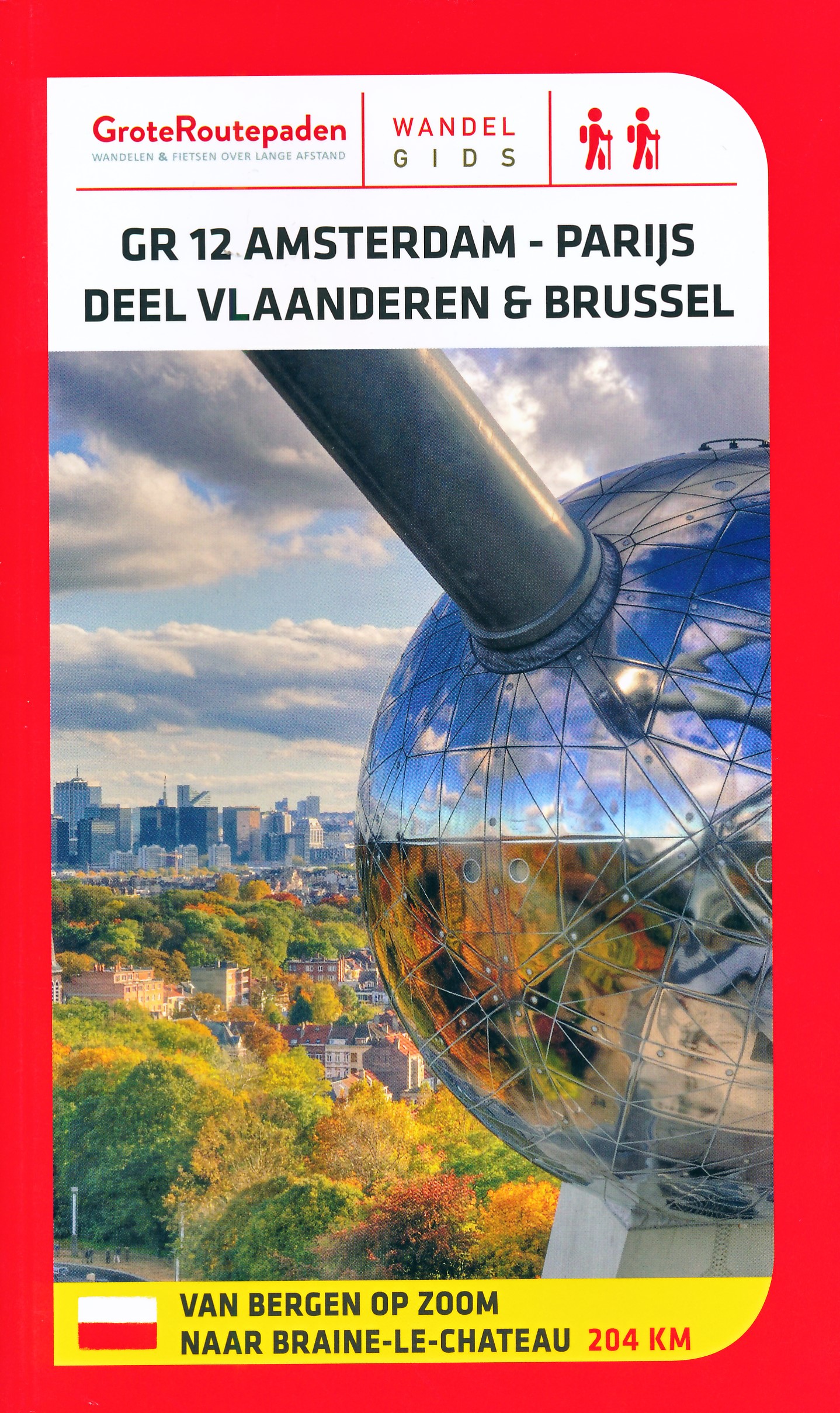
- GR12 - Amsterdam - ParisGPX
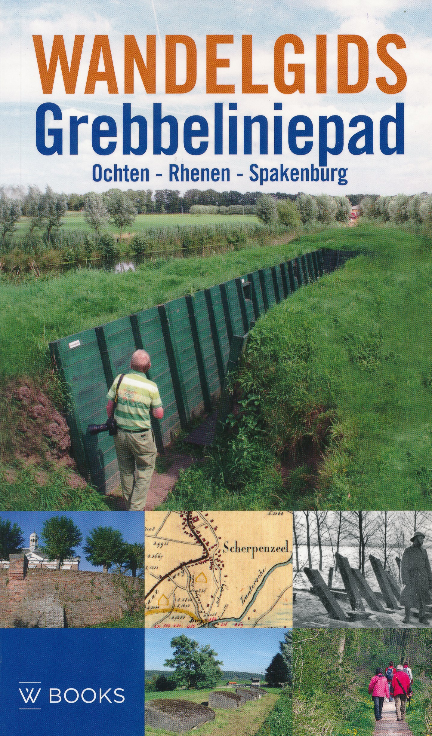
- GrebbeliniepadGPX
- Groene HartpadGPX
- Grote RivierenpadGPX
- Jacobsweg Amstelredam
- Jacobsweg Amsvorde
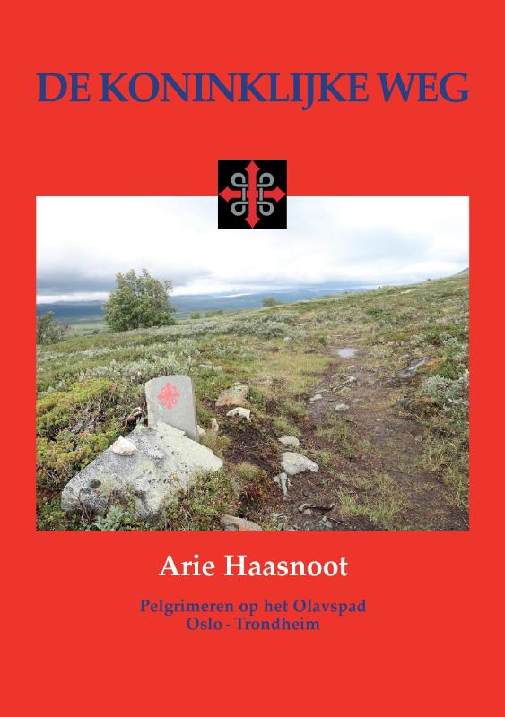
- Koninklijke WegGPX
- Maarten van RossumpadGPX
- MarskramerpadGPX
- Rijndeltapad
- Romeinse LimespadGPX
- Rondom Berg en Bosch
- Rondom de DomGPX
- Stichtse Dorpenpad
- TrekvogelpadGPX
- UtrechtpadGPX
- WaterliniepadGPX
- WesterborkpadGPX
- Willebrordus Wandelpad
- WillibrorduswandelpadGPX
- ZuiderzeepadGPX
Links
Facts
Reports
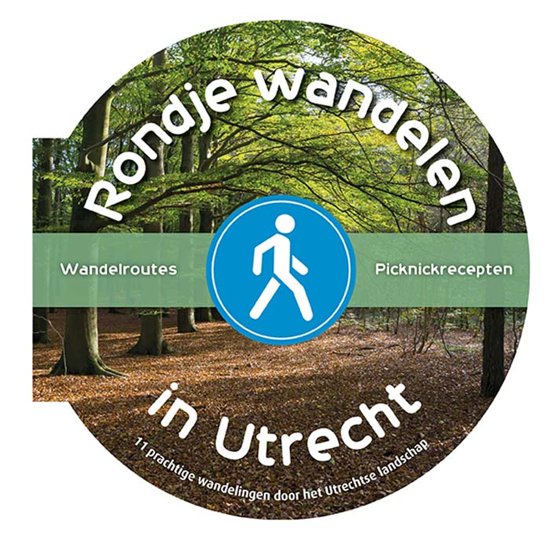
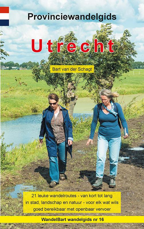
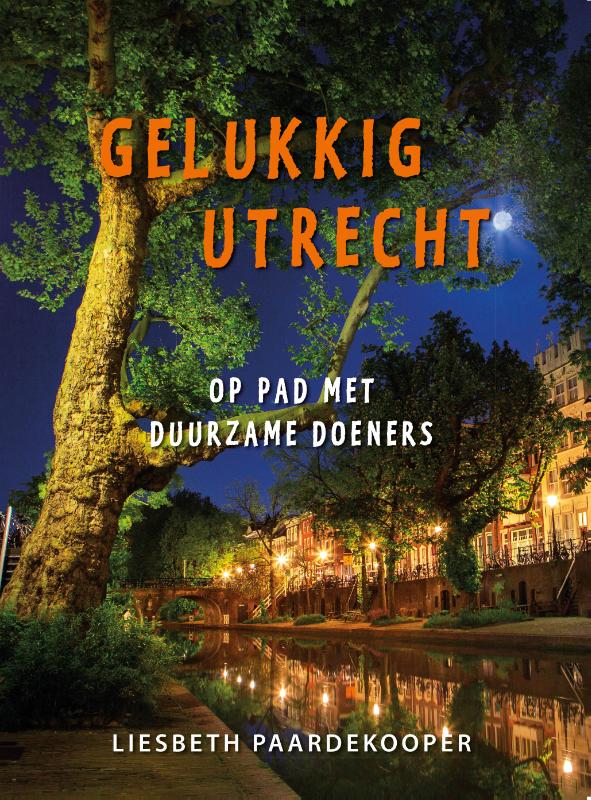
Guides and maps
Lodging
Organisations
Tour operators
GPS
Other
Books
De Zwerver
Netherlands
2023
Netherlands
2023
De Zwerver
Netherlands
2014
Netherlands
2014
- Wandelgids Grebbeliniepad Ochten - Rhenen - Spakenburg | Uitgeverij Wbooks
- Wandelen in Grebbelinie heeft iets geheimzinnigs; de sporen van 200 jaar vestinggeschiedenis liggen overal verborgen in het groen. In deze vernieuwde uitgave van de Wandelgids Grebbeliniepad is de linie voor het eerst over de gehele lengte te bewandelen. Met de toevoeging van het ontbrekende deel door de Neder-Betuwe langs o.a. het Hoornwerk... Read more
Bol.com
Netherlands
Netherlands
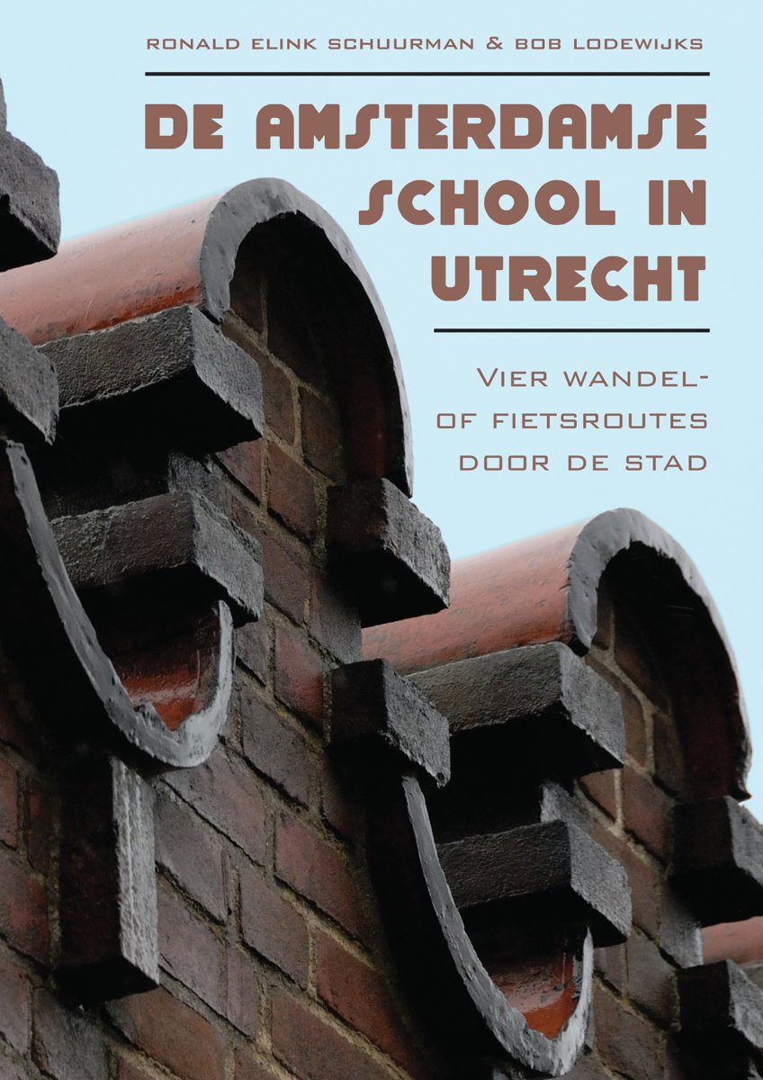
- De Amsterdamse school in Utrecht
- In het boekje De Amsterdamse School in Utrecht vindt u vier wandel- of fietsroutes door de stad Utrecht. Op iedere route maakt u kennis met zo n 25 panden die gebouwd zijn in de nog altijd gewaardeerde Amsterdams Schoolstijl. U kunt gaan ontdekken dat er in Utrecht veel meer gebouwen in Amsterdamse Schoolstijl zijn gebouwd, dan men algemeen... Read more
- Also available from:
- Bol.com, Belgium
Bol.com
Belgium
Belgium
- De Amsterdamse school in Utrecht
- In het boekje De Amsterdamse School in Utrecht vindt u vier wandel- of fietsroutes door de stad Utrecht. Op iedere route maakt u kennis met zo n 25 panden die gebouwd zijn in de nog altijd gewaardeerde Amsterdams Schoolstijl. U kunt gaan ontdekken dat er in Utrecht veel meer gebouwen in Amsterdamse Schoolstijl zijn gebouwd, dan men algemeen... Read more
De Zwerver
Netherlands
2017
Netherlands
2017
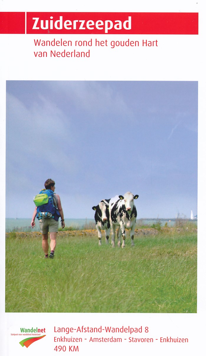
- Wandelgids 8 LAW Zuiderzeepad | Wandelnet
- wandelen rondom de Zuiderzee Read more
- Also available from:
- Bol.com, Belgium

Bol.com
Netherlands
2016
Netherlands
2016
- time to momo - Utrecht
- Jij gaat Utrecht ontdekken! Utrecht voelt al snel 'van jou'. Het is een stad en dorp tegelijk, en alles is op loopafstand. Tegelijkertijd zit de vierde stad van Nederland vol met bezienswaardigheden, cafés en leuke shopadressen. Natuurlijk laten we je de grachten met unieke werfkelders, de markante Domtoren, de leukste winkelstraten en... Read more
- Also available from:
- Bol.com, Belgium
Bol.com
Belgium
2016
Belgium
2016
- time to momo - Utrecht
- Jij gaat Utrecht ontdekken! Utrecht voelt al snel 'van jou'. Het is een stad en dorp tegelijk, en alles is op loopafstand. Tegelijkertijd zit de vierde stad van Nederland vol met bezienswaardigheden, cafés en leuke shopadressen. Natuurlijk laten we je de grachten met unieke werfkelders, de markante Domtoren, de leukste winkelstraten en... Read more

Bol.com
Netherlands
Netherlands
- Rick Steves Amsterdam & the Netherlands, 2nd Edition
- **Bike through cobblestone streets, cruise charming canals, and stop and smell the tulips: with Rick Steves on your side, the Netherlands can be yours!Inside Rick Steves Amsterdam & the Netherlands you'll find:**Comprehensive coverage for spending a week or more exploring Amsterdam and the NetherlandsRick's strategic advice on how to get the... Read more
- Also available from:
- Bol.com, Belgium
Bol.com
Belgium
Belgium
- Rick Steves Amsterdam & the Netherlands, 2nd Edition
- **Bike through cobblestone streets, cruise charming canals, and stop and smell the tulips: with Rick Steves on your side, the Netherlands can be yours!Inside Rick Steves Amsterdam & the Netherlands you'll find:**Comprehensive coverage for spending a week or more exploring Amsterdam and the NetherlandsRick's strategic advice on how to get the... Read more
De Zwerver
Netherlands
2017
Netherlands
2017
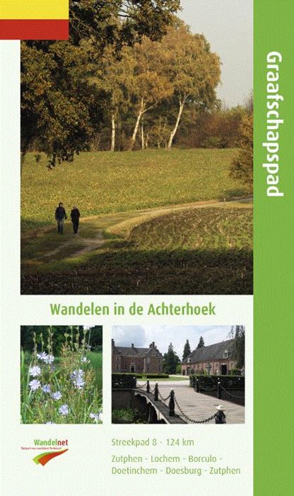
- Wandelgids S8 Streekpad Graafschapspad | Wandelnet
- Routegids met gedetailleerde topografische kaarten waar de route duidelijk op ingetekend is. Daarnaast alle noodzakelijke informatie als openbaar vervoer en overnachtingsadressen. Traject : Rondom Vorden / Lengte : 124 km Een afwisselende route in een verrassend stukje Nederland. Kleine bosjes, landgoederen en Saksische boerderijen in de... Read more
Maps

Stanfords
United Kingdom
United Kingdom
- Utrecht Hills - `t Gooi - Vecht area Falkplan Cycling Map 12
- Utrecht Hill Ridge region of the Netherlands at 1:50,000 in a series from Falk B.V. showing the network of signposted cycling routes on large, double-sided indexed maps with prominent highlighting of long-distance LF routes, symbols indicating accommodation and other tourist services, plus in each title two or more panels with recommended local... Read more

Stanfords
United Kingdom
United Kingdom
- Transrhodopi - Long distance hiking and biking trail From Trigrad to Ivaylovgrad
- Western Rhodope Mountains at 1:100,000 on a contoured GPS compatible map from Domino extending from just west of the Pirin National Park to Asenovgrad in the north-east. The map is double-sided with a good overlap between the sides. Topography is shown by contours at 50m intervals with relief shading and spot heights, plus colouring for... Read more

Stanfords
United Kingdom
United Kingdom
- Gooi & Vechtstreek: Hilversum - Amersfoort - Utrecht
- Gooi and Vechtstreek - a popular hiking area south-east of Amsterdam - on a light, double-sided, waterproof and tear-resistant, GPS-compatible maps at 1:25,000 from ANWB, the country’s main motoring and touring organization. Coverage on the northern side extends southwards from the historic town of Naarden, and west/east between the... Read more

Stanfords
United Kingdom
United Kingdom
- Pegnitz E11
- Pegnitz in a series of GPS compatible recreational editions of the Bavarian topographic survey at 1:25,000, with waymarked hiking trails and cycling routes, campsites and youth hostels, etc. Coverage includes Creußen, Ahorntal, Pottenstein, Glashütten, Hummeltal, Schnabelwaid.Contours used in this map vary between 5 to 20m according to the... Read more
De Zwerver
Netherlands
Netherlands
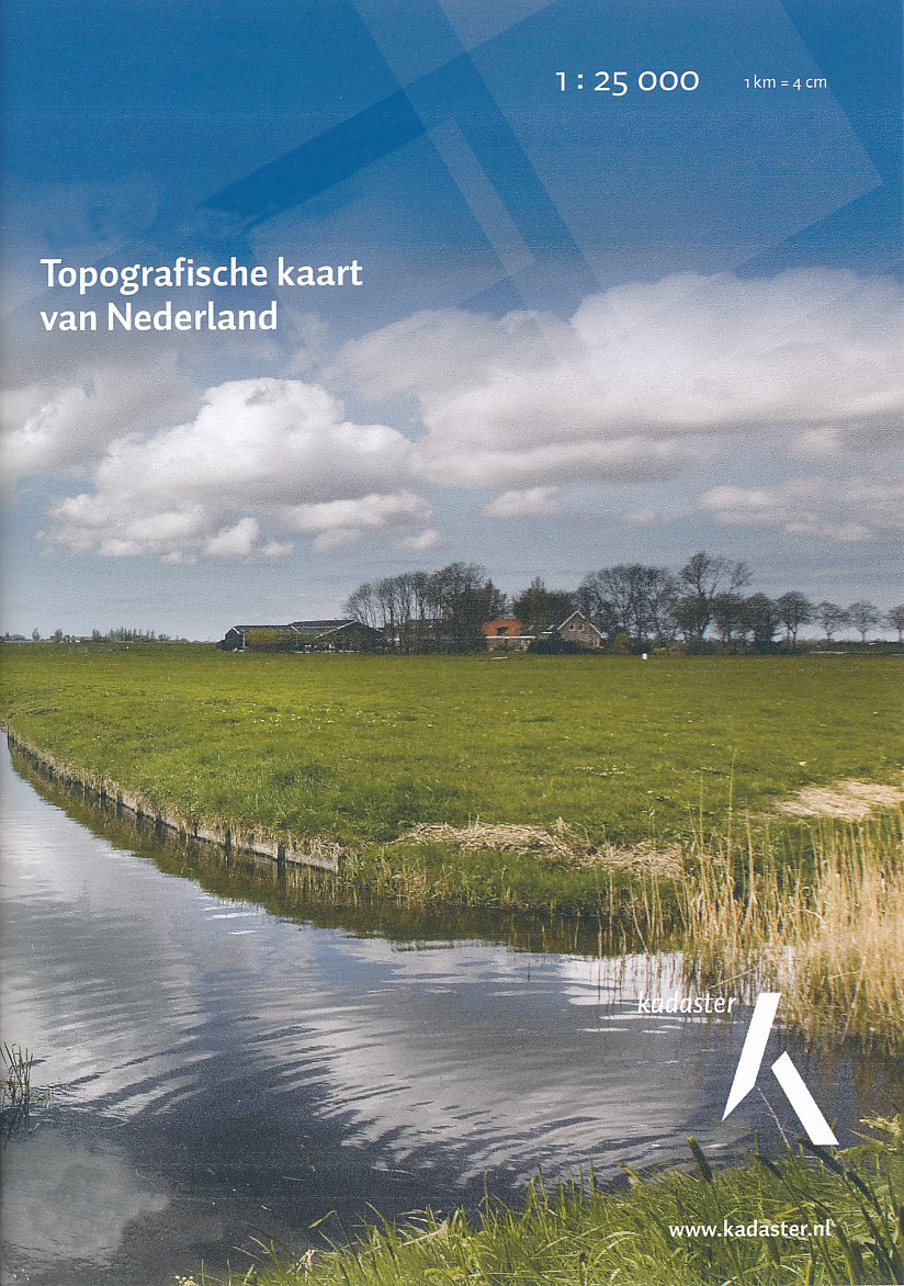
- Topografische kaart - Wandelkaart 32C Zeist | Kadaster
- De meest gedetailleerde kaart die via de verkoopkanalen verkrijgbaar is. Gemaakt door de Nederlandse Topografische dienst bevat deze kaart alle topografische elementen van het landschap en geeft daarmee een nauwkeurig beeld van het terrein. De meeste kaarten hebben een kaartbeeld dat overeenkomt met 12,5 x 10 kilometer in werkelijkheid. Naast... Read more
De Zwerver
Netherlands
Netherlands

Stanfords
United Kingdom
United Kingdom
- Pirin Mountains Domino
- Pirin Mountains at 1:50,000 on a large, double-sided, contoured map with GPS waypoints for shelters and chalets, peaks, etc. and highlighting hiking routes. Topography is shown by contours at 40m intervals with additional relief shading and graphics and colouring for sandstone stacks, single rocks over 5m high, marshlands and different types of... Read more
- Also available from:
- De Zwerver, Netherlands

De Zwerver
Netherlands
Netherlands
- Wandelkaart 6 Pirin gebergte | Domino
- Pirin Mountains at 1:50,000 on a large, double-sided, contoured map with GPS waypoints for shelters and chalets, peaks, etc. and highlighting hiking routes. Topography is shown by contours at 40m intervals with additional relief shading and graphics and colouring for sandstone stacks, single rocks over 5m high, marshlands and different types of... Read more
Bol.com
Netherlands
Netherlands
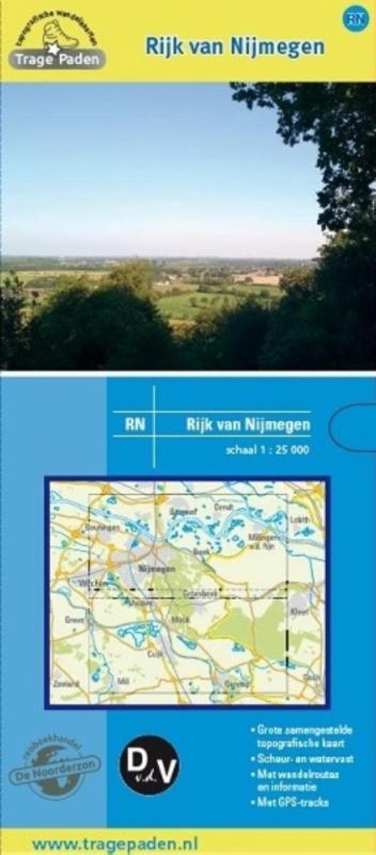
- Trage Paden RN - Topografische wandelkaart Rijk van Nijmegen
- Grote, samengestelde en gedetailleerde topografische wandelkaart, op schaal 1:25.000. Scheur- en watervast. Vele wandelroutes ingetekend, onder andere lange afstandsroutes, zoals het Pieterpad, het Grote Rivierenpad, het Airbornepad Market Garden, Streekpad Nijmegen, Maas en Peelliniepad en het Maas- Niederrheinpad. Daarnaast veel... Read more
- Also available from:
- Bol.com, Belgium
Bol.com
Belgium
Belgium
- Trage Paden RN - Topografische wandelkaart Rijk van Nijmegen
- Grote, samengestelde en gedetailleerde topografische wandelkaart, op schaal 1:25.000. Scheur- en watervast. Vele wandelroutes ingetekend, onder andere lange afstandsroutes, zoals het Pieterpad, het Grote Rivierenpad, het Airbornepad Market Garden, Streekpad Nijmegen, Maas en Peelliniepad en het Maas- Niederrheinpad. Daarnaast veel... Read more

De Zwerver
Netherlands
Netherlands
- Topografische kaart - Wandelkaart 32D Woudenberg | Kadaster
- De meest gedetailleerde kaart die via de verkoopkanalen verkrijgbaar is. Gemaakt door de Nederlandse Topografische dienst bevat deze kaart alle topografische elementen van het landschap en geeft daarmee een nauwkeurig beeld van het terrein. De meeste kaarten hebben een kaartbeeld dat overeenkomt met 12,5 x 10 kilometer in werkelijkheid. Naast... Read more
De Zwerver
Netherlands
Netherlands

Stanfords
United Kingdom
United Kingdom
- Western Rhodope Mountains Domino Map
- Western Rhodope Mountains at 1:100,000 on a contoured GPS compatible map from Domino extending from just west of the Pirin National Park to Asenovgrad in the north-east. The map is double-sided with a good overlap between the sides. Topography is shown by contours at 50m intervals with relief shading and spot heights, plus colouring for... Read more
- Also available from:
- De Zwerver, Netherlands

De Zwerver
Netherlands
Netherlands
- Wandelkaart - Wegenkaart - landkaart 7 Westelijke Rhodopen - Western Rhodopes | Domino
- Western Rhodope Mountains at 1:100,000 on a contoured GPS compatible map from Domino extending from just west of the Pirin National Park to Asenovgrad in the north-east. The map is double-sided with a good overlap between the sides. Topography is shown by contours at 50m intervals with relief shading and spot heights, plus colouring for... Read more

De Zwerver
Netherlands
Netherlands
- Topografische kaart - Wandelkaart 38B Schoonhoven | Kadaster
- De meest gedetailleerde kaart die via de verkoopkanalen verkrijgbaar is. Gemaakt door de Nederlandse Topografische dienst bevat deze kaart alle topografische elementen van het landschap en geeft daarmee een nauwkeurig beeld van het terrein. De meeste kaarten hebben een kaartbeeld dat overeenkomt met 12,5 x 10 kilometer in werkelijkheid. Naast... Read more
More maps…