
Sweden
Description

Sweden has thousands of kilometers of hiking trails. The majority leads through the low, often sparsely populated regions. The landscape certainly isn't all stereotype forests and lakes, but also many places of cultural historical interest, towns, villages and countryside.
Trails are well documented and marked, and often looked after by local communities. There are huts, mostly self-service, where you can warm up by a wood-burning stove, dry your clothes and stay overnight. Hundreds of youth hostels are spread about the country, as are many small campsites popular with hikers. Maps of long distance trails are available locally. Do not expect to meet up with hordes of other hikers, and bring enough food. Walking in these low regions is good from early spring until late autumn.
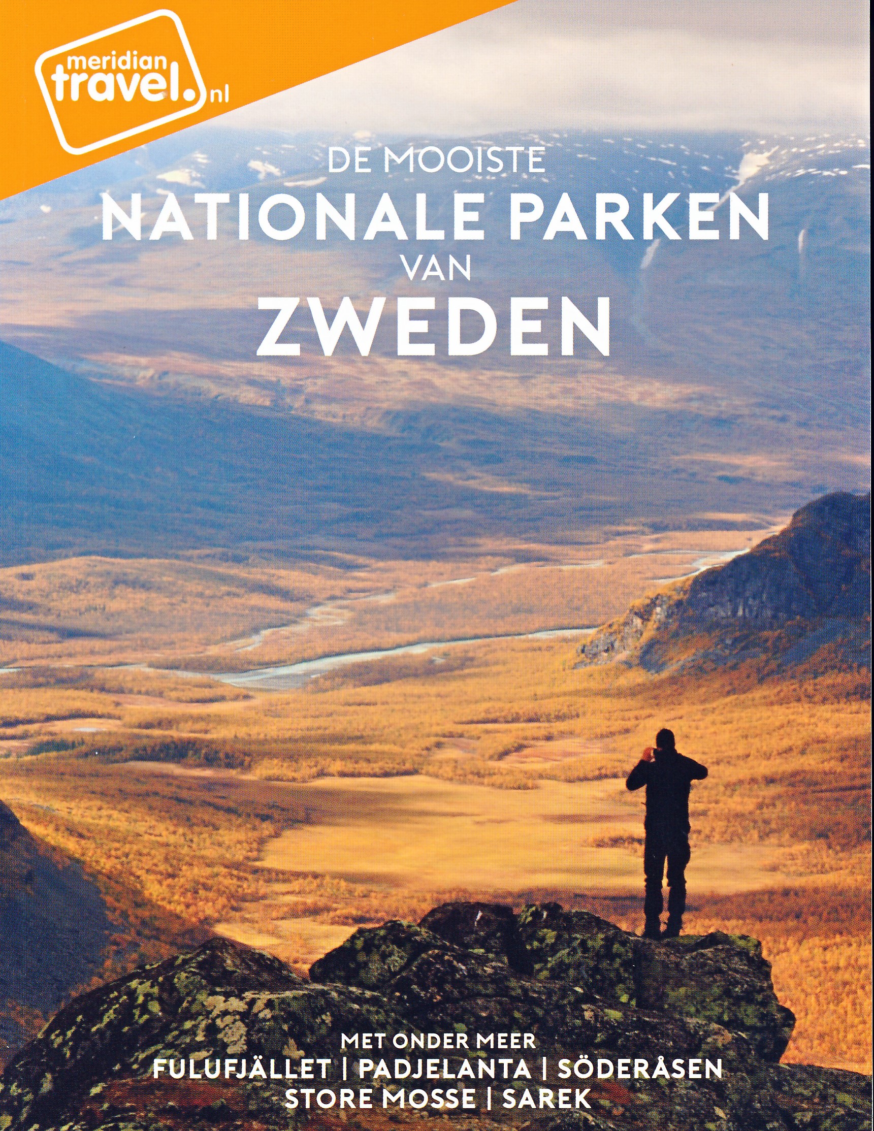
Swedish mountains are a different story altogether. This is rough country, so count on alpine circumstances, and plan your walk between halfway June and halfway September. Most famous is Kungsleden, a trail up north in Lapland. It has existed for almost one hundred years and leads you up Swedens highest mountaintops. More mountainous areas are to be found further south, along the border with Norway. The STF, Swedish Tourist Club, has mountain huts at regular intervals in all these regions.
If all this isn't challenging enough for you, try roaming freely through the Lapland wilderness, without trails or huts, for instance in Sarek National Park.
Trails
- AnebyledenGPX
- ArnäsledenGPX
- Öreälvens Vandringsled
- ÖsterlenledenGPX
- ÖstgötaledenGPX
- ÄngenledenGPX
- Ås till åsledenGPX
- ÅsundenledenGPX
- Baltic Trail
- BauerledenGPX
- BergslagsledenGPX
- BillingeledenGPX
- Blå ledenGPX
- Blekinge VildmarksledGPX
- BlekingeledenGPX
- BohusledenGPX
- Bonnaleder
- BruksledenGPX
- DackeledenGPX
- Domarvëgen
- E1GPX
- E6GPX
- Fäbodvandringar Ljusbodarna-Leksand
- FinnledenGPX
- FinnskogledenGPX
- FinnskogsledenGPX
- FinnvägenGPX
- FlottarstigenGPX
- Fryksdalen - Klarälvsdalen
- Funäsfjällen
- Gagnefs vandringsleder
- GästrikeledenGPX
- GislavedsledenGPX
- GlasbruksledenGPX
- GlaskogenGPX
- Grensesømmen
- HallandsledenGPX
- HälsingeledenGPX
- Höga KustenledenGPX
- HöglandsledenGPX
- HögsbyledenGPX
- HolavedsledenGPX
- IsälvsledenGPX
- Jämt-Norge-LedenGPX
- JämtlandsfjällenGPX
- JärnbärarledenGPX
- John BauerledenGPX
- KajvallsledenGPX
- KalmarsundsledenGPX
- KårböleledenGPX
- KinnekulleledenGPX
- Kittelfjall-Borgafjall
- KnalleledenGPX
- KolarstigenGPX
- KungsledenGPX
- Lögdeälvens Vildmarksled
- LönnebergaledenGPX
- Ljugarns Vandringsleder
- Ljungdalsfjällen
- LjusnanledenGPX
- Malingsbo-KlotenrundanGPX
- MönsteråsledenGPX
- MörbylångaledenGPX
- MittnordenledenGPX
- MuddusledenGPX
- MunkastigenGPX
- Njudungsleden
- NordkalottledenGPX
- NordlandsrutaGPX
- North Sea TrailGPX
- Nynäsleden
- OstkustledenGPX
- PadjelantaledenGPX
- Pilgrimsled st OlofGPX
- PilgrimsledenGPX
- RallarstigenGPX
- Rallarvägen
- RedvägsledenGPX
- RomboledenGPX
- RoslagsledenGPX
- RuijaledenGPX
- Santiago de Compostela Pilgrims WayGPX
- Sävsjöleden
- Södra VätterledenGPX
- SörmlandsledenGPX
- SevedeledenGPX
- SigfridsledenGPX
- SiljansledenGPX
- SilverledenGPX
- SjuhäradsledenGPX
- SjuvallsledenGPX
- SkaneledenGPX
- SkåneledenGPX
- Skåneleden kust till kustGPX
- Skåneleden nord till syd
- Skånleden
- Skånvagen
- SméledenGPX
- StorspåretGPX
- SvågaledenGPX
- TavelsjöledenGPX
- TjustledenGPX
- TorsåsledenGPX
- UpplandsledenGPX
- UtvandrarledenGPX
- VasaloppsledenGPX
- Värmlandsleden
- Västra Vätternleden
- Verkeån vandringsled
- VildmarksledenGPX
- Vildmarksleden Falun
- Vildmarksleden SmålandGPX
Regions
States
Links
Facts
Reports
Guides and maps
Lodging
Organisations
Tour operators
GPS
Other
Books

United Kingdom
- Walking in Värmland - The Lake Region of Central Sweden
- Walking in Värmland is One Day Walks Publishing`s guide to walking in the picturesque lake region of Central Sweden. A total of 22 walks are included in the guide, ranging in length from 5.5 - 20 kilometres, thus being suitable for a wide range of walking standards. Each walk opens with an Information box detailing details about the walk,... Read more

United Kingdom
- Best hiking in Sweden - Skaneleden
- Selected hikes and walks along the Skaneleden trail The Skaneleden hiking trail is one of Sweden`s longest and best maintained. With a total length of 1 200 km, it runs through a wide range of landscapes. The coastal sections take you on a dramatic journey between rock and sea, revealing exotic sandy beaches and breathtaking views, while the... Read more

United Kingdom
- Tärnaby - Hemavan - Ammarnäs Lantmateriet AC2
- Mountain areas of central and northern Sweden on waterproof and tear-resistant, GPS compatible topographic “Fjällkartan” maps at 1:100,000 and 1:50,000 from Lantmäteriet - the country’s national survey organization, with hiking and ski routes, campsites and youth hostels, etc. Relief is shown by contours at 20m intervals and enhanced by relief... Read more


Netherlands
- Southwest usa
- These are the guides that show you what others can only tell you. You can hike, hack or kayak through some of the world's most spectacular national parks, or relax in luxury at Caesar's Palace. With unique 3D cutaway maps the wonder of the Southwest is fully revealed. So don your blue suede or hiking shoes, and head into the land of the pioneer! Read more
- Also available from:
- Bol.com, Belgium
Belgium
- Southwest usa
- These are the guides that show you what others can only tell you. You can hike, hack or kayak through some of the world's most spectacular national parks, or relax in luxury at Caesar's Palace. With unique 3D cutaway maps the wonder of the Southwest is fully revealed. So don your blue suede or hiking shoes, and head into the land of the pioneer! Read more
Netherlands
2021
Netherlands
2011
- Wandelgids Wandelen in Västernorrland - Zweden | One Day Walks
- Västernorrland ligt aan de rand van Europa’s laatste wildernis; aan de noordkant begint Lapland, aan de westkant ligt Jämtland met de bergrug die Zweden scheidt van Noorwegen. Hier kwamen de Zweedse ‘kolonisten’, die steeds verder noordwaarts trokken, voor het eerst in contact met de Samen, de oorspronkelijke bevolking van Lapland. In deze gids... Read more
Netherlands
- The Path to Odin's Lake
- Ex-newspaper editor Jason Heppenstall, worn down by the constant drumbeat of dire news in the world, decides to set out on a journey in search of some answers. With not much more than some walking boots, a notebook and a wooden staff, he sets off from his old home in Copenhagen with a vague idea to head north. It isn't long before a series of... Read more
- Also available from:
- Bol.com, Belgium
Belgium
- The Path to Odin's Lake
- Ex-newspaper editor Jason Heppenstall, worn down by the constant drumbeat of dire news in the world, decides to set out on a journey in search of some answers. With not much more than some walking boots, a notebook and a wooden staff, he sets off from his old home in Copenhagen with a vague idea to head north. It isn't long before a series of... Read more
Maps

United Kingdom
- Alby
- Topographic survey of Sweden at 1:50,000, the Terrängkartan, from the Lantmäteriet, covering most of the country in 244 double-sided maps. Please note: the mountainous regions of central and northern Sweden are not covered by this series but presented in a separate “Fjällkartan - Mountain Map” series also listed on our website.Each 1:50,000... Read more
United Kingdom
- Nas
- Topographic survey of Sweden at 1:50,000, the Terrängkartan, from the Lantmäteriet, covering most of the country in 244 double-sided maps. Please note: the mountainous regions of central and northern Sweden are not covered by this series but presented in a separate “Fjällkartan - Mountain Map” series also listed on our website.Each 1:50,000... Read more
United Kingdom
- Kramfors
- Topographic survey of Sweden at 1:50,000, the Terrängkartan, from the Lantmäteriet, covering most of the country in 244 double-sided maps. Please note: the mountainous regions of central and northern Sweden are not covered by this series but presented in a separate “Fjällkartan - Mountain Map” series also listed on our website.Each 1:50,000... Read more
United Kingdom
- Malung
- Topographic survey of Sweden at 1:50,000, the Terrängkartan, from the Lantmäteriet, covering most of the country in 244 double-sided maps. Please note: the mountainous regions of central and northern Sweden are not covered by this series but presented in a separate “Fjällkartan - Mountain Map” series also listed on our website.Each 1:50,000... Read more
United Kingdom
- Mora
- Topographic survey of Sweden at 1:50,000, the Terrängkartan, from the Lantmäteriet, covering most of the country in 244 double-sided maps. Please note: the mountainous regions of central and northern Sweden are not covered by this series but presented in a separate “Fjällkartan - Mountain Map” series also listed on our website.Each 1:50,000... Read more

United Kingdom
- Oviksfjällen Lantmateriet Z55
- Mountain areas of central and northern Sweden on waterproof and tear-resistant, GPS compatible topographic “Fjällkartan” maps at 1:100,000 and 1:50,000 from Lantmäteriet - the country’s national survey organization, with hiking and ski routes, campsites and youth hostels, etc. Relief is shown by contours at 20m intervals and enhanced by relief... Read more
United Kingdom
- Svenska Högarna
- Topographic survey of Sweden at 1:50,000, the Terrängkartan, from the Lantmäteriet, covering most of the country in 244 double-sided maps. Please note: the mountainous regions of central and northern Sweden are not covered by this series but presented in a separate “Fjällkartan - Mountain Map” series also listed on our website.Each 1:50,000... Read more
United Kingdom
- Voxna
- Topographic survey of Sweden at 1:50,000, the Terrängkartan, from the Lantmäteriet, covering most of the country in 244 double-sided maps. Please note: the mountainous regions of central and northern Sweden are not covered by this series but presented in a separate “Fjällkartan - Mountain Map” series also listed on our website.Each 1:50,000... Read more

United Kingdom
2015
- Orskar Grisslehamn Furusund
- This map of Orskar Grisslehamn Furusund in 1:50,000 is part of a series of topographic maps from Norstedts Kartforlaget which includes 28 outdoor maps covering the mountain areas and popular recreation areas in southern Sweden. The maps in this series have a new look and are printed on a durable and water resistant paper. Cartography, material... Read more
United Kingdom
- Västerås
- Topographic survey of Sweden at 1:50,000, the Terrängkartan, from the Lantmäteriet, covering most of the country in 244 double-sided maps. Please note: the mountainous regions of central and northern Sweden are not covered by this series but presented in a separate “Fjällkartan - Mountain Map” series also listed on our website.Each 1:50,000... Read more
United Kingdom
- Ljusdal
- Topographic survey of Sweden at 1:50,000, the Terrängkartan, from the Lantmäteriet, covering most of the country in 244 double-sided maps. Please note: the mountainous regions of central and northern Sweden are not covered by this series but presented in a separate “Fjällkartan - Mountain Map” series also listed on our website.Each 1:50,000... Read more
United Kingdom
- Fredriksberg
- Topographic survey of Sweden at 1:50,000, the Terrängkartan, from the Lantmäteriet, covering most of the country in 244 double-sided maps. Please note: the mountainous regions of central and northern Sweden are not covered by this series but presented in a separate “Fjällkartan - Mountain Map” series also listed on our website.Each 1:50,000... Read more
United Kingdom
- Byske
- Topographic survey of Sweden at 1:50,000, the Terrängkartan, from the Lantmäteriet, covering most of the country in 244 double-sided maps. Please note: the mountainous regions of central and northern Sweden are not covered by this series but presented in a separate “Fjällkartan - Mountain Map” series also listed on our website.Each 1:50,000... Read more
United Kingdom
- Högsby Lantmateriet 535
- Topographic survey of Sweden at 1:50,000, the Terrängkartan, from the Lantmäteriet, covering most of the country in 244 double-sided maps. Please note: the mountainous regions of central and northern Sweden are not covered by this series but presented in a separate “Fjällkartan - Mountain Map” series also listed on our website.Each 1:50,000... Read more

United Kingdom
- Lycksele
- Topographic survey of Sweden at 1:100,000, the Vägkartan, from the Lantmäteriet, covering most of the country in 79 double-sided maps. Please note: the mountainous regions of central and northern Sweden are not covered by this series but presented in a separate “Fjällkartan - Mountain Map” series also listed on our website.Each 1:100,000... Read more