
Via Gebennensis
Description
- Name Via Gebennensis (GR65)
- Length of trail 350 km, 217 miles
- Length in days 14 days
- Start of trail Geneva
- End of trail Le Puy-en-Velay
- Traildino grading MW, Moderate walk, backpacking trail
- Hut tour grading T1, Walk


65

Via Gebennensis, Geneva - Le Puy-en-Velay, 330 km, 13 days
Pilgrims to Santiago de Compostela, coming from Switzerland, will most likely follow this Way. From Geneva, it is about two weeks walking to Le Puy-en-Velay. The trail is marked red and white as GR65, and also with the blue and yellow coquilles Saint Jacques. This Way of St. James is very attractive as it traverses the Alps and is yet a quiet trail.
From Le Puy, pilgrims continue on the well known Via Podiensis to the Pyrenees. This part is also marked as GR65, and the FFRP issues a topoguide.
Visit Traildino's overview page for the Way of Saint James / Camino de Santiago.
Links
Facts
Reports
Guides and maps
Lodging
Organisations
Tour operators
GPS
Other
Books

Stanfords
United Kingdom
2016
United Kingdom
2016
- St-Jacques-de-Compostelle - Moissac to Roncevaux / Roncesvalles GR65-2 IGN 89021
- Chemin de St-Jacques - the Way of St James in France along the GR65 between Moissac and Roncevaux/Roncesvalles in the Spanish Pyrenees presented at 1:100,000 on a double-sided, waterproof and tear-resistant map from IGN with cartography from their highly popular TOP100 series. The route is prominently highlighted on contoured mapping and... Read more

Stanfords
United Kingdom
2016
United Kingdom
2016
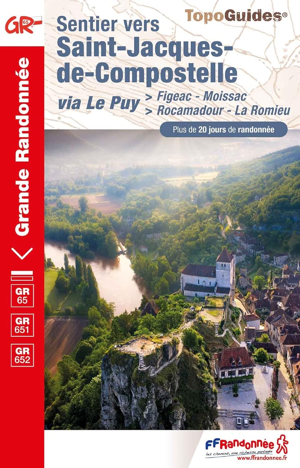
- St-Jacques-de-Compostelle - Puy-en-Velay to Moissac GR65-1 IGN 89020
- Chemin de St-Jacques - the Way of St James in France along the GR65 between Le Puy-en-Velay and Moissac presented at 1:100,000 on a double-sided, waterproof and tear-resistant map from IGN with cartography from their highly popular TOP100 series. The route is prominently highlighted on contoured mapping and annotated with hiking distances.... Read more

The Book Depository
United Kingdom
2022
United Kingdom
2022
- Camino de Santiago - Via Podiensis
- Le Puy to the Pyrenees on the GR65 Read more
- Also available from:
- De Zwerver, Netherlands

De Zwerver
Netherlands
2022
Netherlands
2022
- Wandelgids Camino de Santiago - Via Podiensis GR65 | Cicerone
- Le Puy to the Pyrenees on the GR65 Read more

De Zwerver
Netherlands
2016
Netherlands
2016
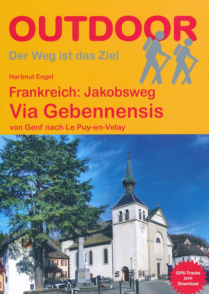
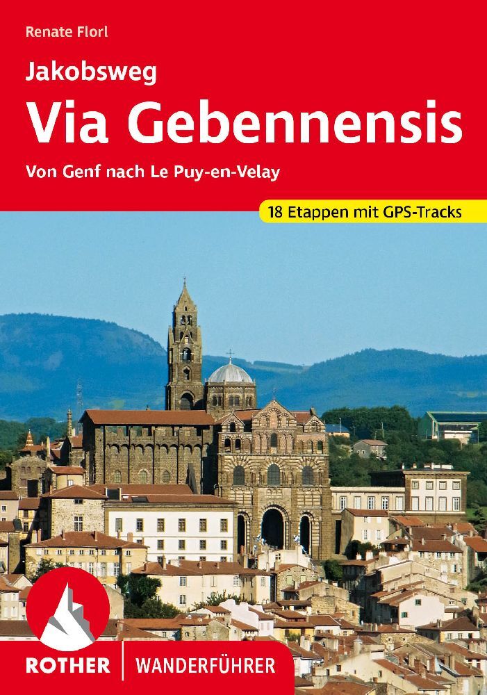
- Wandelgids - Pelgrimsroute Frankreich: Jakobsweg, Via Gebennensis | Conrad Stein Verlag
- von Genf nach Le Puy-en-Velay Read more

De Zwerver
Netherlands
2023
Netherlands
2023
Bol.com
Netherlands
2018
Netherlands
2018
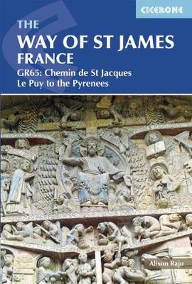
- The Way of St James - Le Puy to the Pyrenees
- This comprehensive guidebook describes the Way of St James (Camino de Santiago) pilgrim route through France. Also known as the Chemin de St Jacques or GR65, the 730km (454 mile) route runs from Le Puy-en-Velay in central France to Saint-Jean-Pied-de-Port in the Pyrenees. People have been walking it as a pilgrimage route for over 1000 years,... Read more
- Also available from:
- Bol.com, Belgium
Bol.com
Belgium
2018
Belgium
2018
- The Way of St James - Le Puy to the Pyrenees
- This comprehensive guidebook describes the Way of St James (Camino de Santiago) pilgrim route through France. Also known as the Chemin de St Jacques or GR65, the 730km (454 mile) route runs from Le Puy-en-Velay in central France to Saint-Jean-Pied-de-Port in the Pyrenees. People have been walking it as a pilgrimage route for over 1000 years,... Read more

De Zwerver
Netherlands
2019
Netherlands
2019
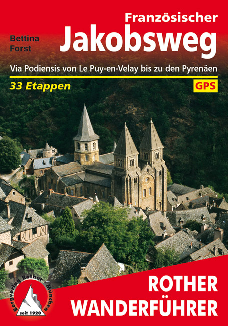
- Wandelgids - Pelgrimsroute 253 Französischer Jakobsweg GR65 | Rother Bergverlag
- Via Podiensis von Le Puy-en-Velay bis zu den Pyrenäen. 33 Etappen Rother Wanderführer. 4., aktualisierte Auflage. Read more


De Zwerver
Netherlands
2022
Netherlands
2022
More books…
Maps

De Zwerver
Netherlands
2020
Netherlands
2020
- Wandelatlas - Pelgrimsroute (kaart) 161 Chemins de Compostelle GR65 | Michelin
- Véritable petit atlas détaillant chaque étape avec indications précises concernant les villes de départ et d'arrivée ainsi que pour les localités traversées (auberges, refuges, restaurants, pharmacies, gare, épiceries, Km parcourus, Km restants....).Ce petit atlas suit le chemin du... Read more