
Northern Ireland
Description
Trails in this state
Links
Facts
Reports
Guides and maps
Lodging
Organisations
Tour operators
GPS
Other
Books

Stanfords
United Kingdom
United Kingdom
- Lonely Planet`s Ultimate United Kingdom Travelist
- The top 500 experiences in the UK... ranked!What`s the #1 experience in the United Kingdom? The British Museum? Giant`s Causeway? Sailing the Isles of Scilly? Hull Pier Toilets? For the first time, the experts at Lonely Planet have ranked the top 500 unmissable experiences and hidden gems across Great Britain, Northern Ireland and the Channel... Read more

Stanfords
United Kingdom
United Kingdom
- Armagh City OSNI Street Plan
- Armagh City on an indexed street plan at 1:10,000 from the Ordnance Survey of Northern Ireland, with insets covering Keady, Markethill, Richhill, and Tandragee, plus on the reverse an indexed road map at 1:50,000 of Armagh City and district.OSNI street plans highlight main traffic arteries in each town, indicating motorways, A or B roads, one... Read more

Stanfords
United Kingdom
United Kingdom
- Lisburn City OSNI Street Plan
- Lisburn City on an indexed street plan at 1:10,000 from the Ordnance Survey of Northern Ireland, with insets covering Moira and Hillsborough, plus on the reverse an indexed road map at 1:50,000 of the town and its environs.OSNI street plans highlight main traffic arteries in each town, indicating motorways, A or B roads, one way or... Read more

Stanfords
United Kingdom
United Kingdom
- The National Trust Book of the Countryside
- Explore the British countryside with the National Trust. No organisation knows more about the British countryside than the National Trust, the custodians of some of our most beautiful stretches of land and coastline. Drawing on their expertise, this stunningly illustrated book is a comprehensive guide to the country`s natural heritage. Part One... Read more
Stanfords
United Kingdom
United Kingdom
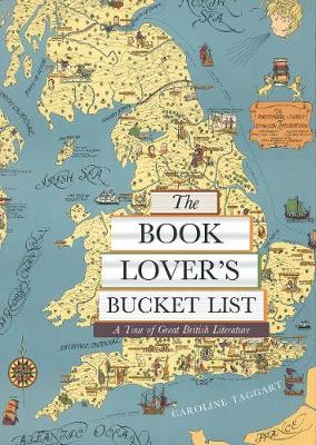
- The Book Lover`s Bucket List: A Tour of Great British Literature
- Exploring the gardens, monuments, museums, and churches with walks both urban and rural, from the Bronte parsonage in Haworth to Zadie Smith`s North London and Shakespeare`s Stratford, `The Book Lover`s Bucket List` takes you through some 100 wonderfully described literary sites and landscapes, complete with colour destination photographs and... Read more

Stanfords
United Kingdom
2021
United Kingdom
2021
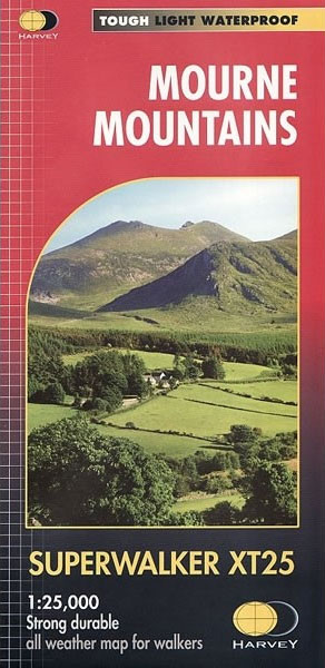
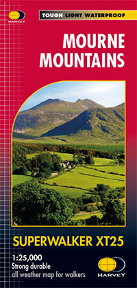
- Mourne Mountains Harvey XT25 Superwalker Map
- This Mourne Mountains Superwalker Map covers the highest mountains in Northern Ireland, an Area of Outstanding Natural Beauty. The Mournes are a granite mountain range in County Down, with the highest peak being Slieve Donard at 850 metres. This detailed map for hillwalkers of the Mountains of Mourne at a scale of 1:25,000, and includes The... Read more
- Also available from:
- The Book Depository, United Kingdom
- De Zwerver, Netherlands

Stanfords
United Kingdom
2019
United Kingdom
2019
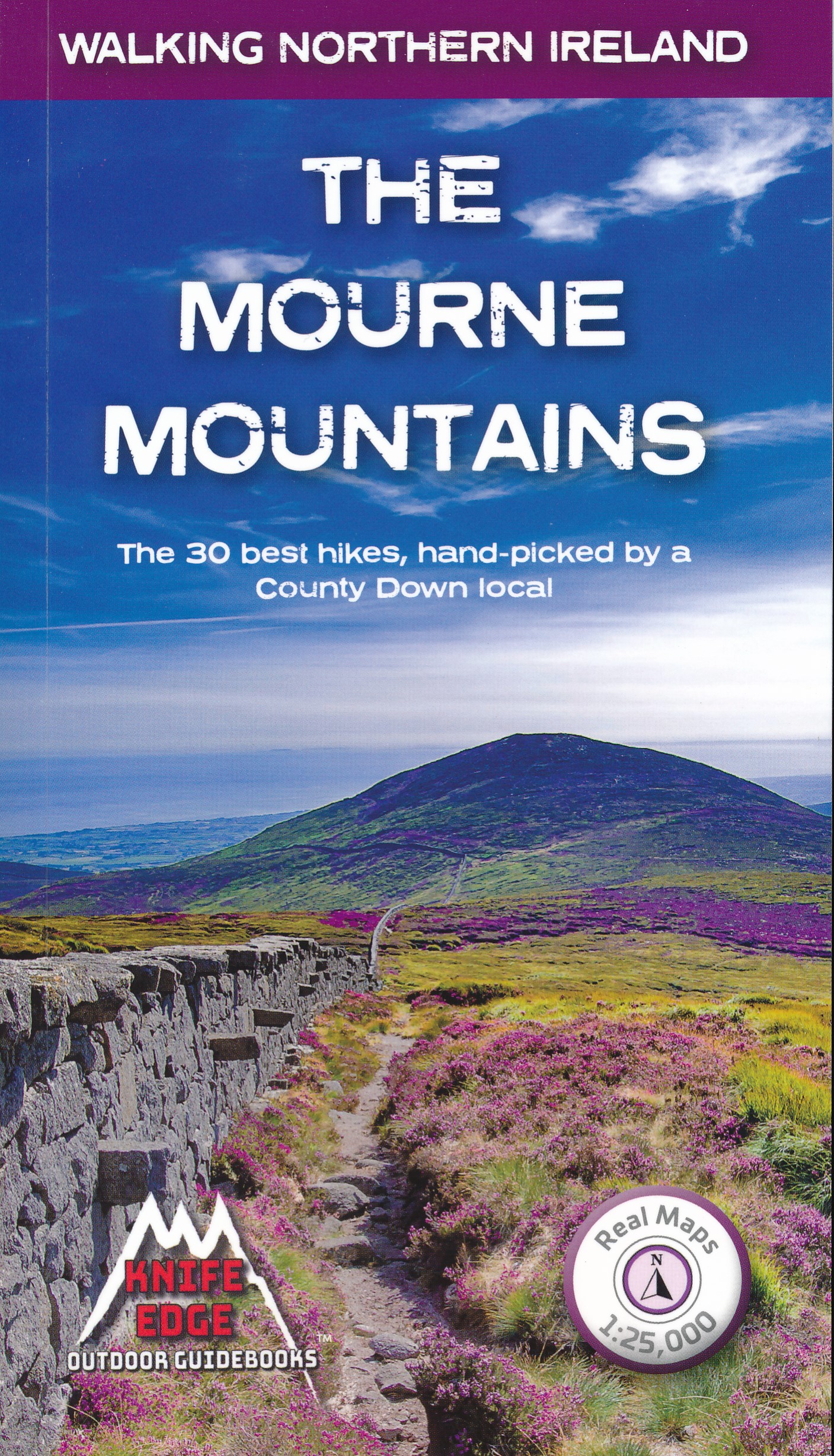
- The Mourne Mountains: The 30 best hikes, handpicked by a County Down local
- The only guidebook for the Mourne Mountains written by a County Down local hiker: 30 handpicked routes.The only guidebook for the Mourne Mountains with Real 1:25,000 Maps: this makes navigation easy and saves you money: no need to carry additional maps.Also includes:Game of Thrones film locationsNumbered waypoints linking maps to textQuick... Read more
- Also available from:
- The Book Depository, United Kingdom
- De Zwerver, Netherlands

The Book Depository
United Kingdom
2019
United Kingdom
2019
- The Mourne Mountains
- The 30 best hikes, handpicked by a County Down local Read more
De Zwerver
Netherlands
2019
Netherlands
2019
- Wandelgids The Mourne Mountains | Knife Edge Outdoor
- The 30 best hikes, handpicked by a County Down local Read more

Stanfords
United Kingdom
2020
United Kingdom
2020
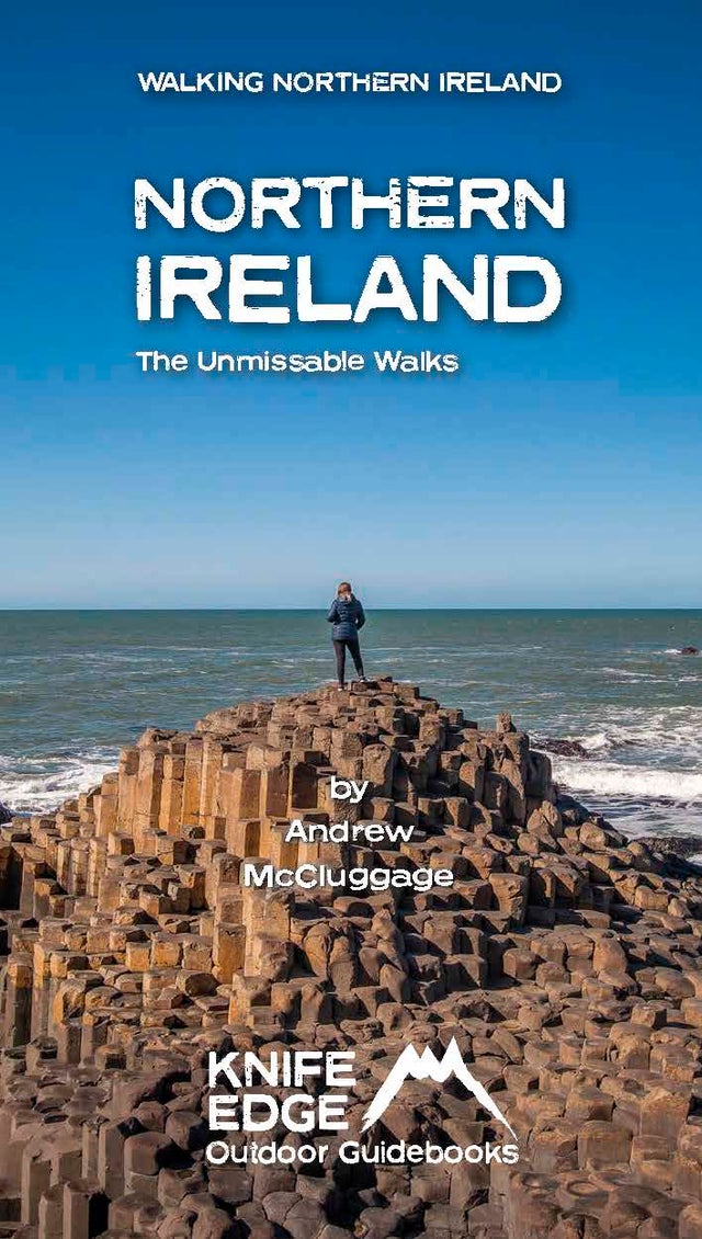
- Northern Ireland: The Unmissable Hikes
- Discover Northern Ireland`s wild mountains, epic cliffs, spectacular beaches and stunning moorland in this, the definitive guidebook for walking in Northern Ireland, It contains 35 epic walks, hand-picked by a Country Down local, including the Causeway Coast, the Glens of Antrim, the Mourne Mountains, the Sperrin Mountains and much more.* The... Read more
- Also available from:
- The Book Depository, United Kingdom
- De Zwerver, Netherlands

De Zwerver
Netherlands
2020
Netherlands
2020
- Wandelgids Northern Ireland : The Unmissable Hikes | Knife Edge Outdoor
- Discover Northern Ireland`s wild mountains, epic cliffs, spectacular beaches and stunning moorland in this, the definitive guidebook for walking in Northern Ireland, It contains 35 epic walks, hand-picked by a Country Down local, including the Causeway Coast, the Glens of Antrim, the Mourne Mountains, the Sperrin Mountains and much more.* The... Read more

Stanfords
United Kingdom
2015
United Kingdom
2015
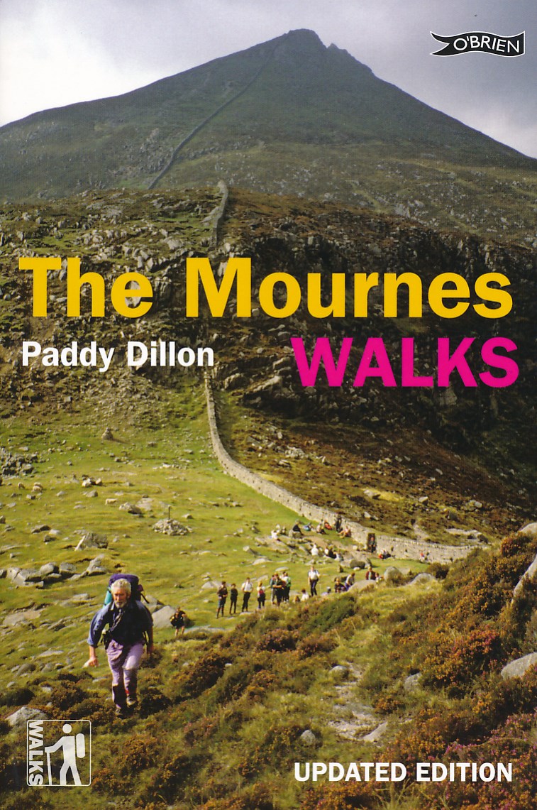
- The Mournes Walks
- Newly revised and updated. Where the mountains of Mourne sweep down to the sea They sweep down to the sea, they rise in huge heathery humps, surrounded by farmlands divided into tiny, stone-walled fields. Explore the Mournes in the company of walking expert Paddy Dillon, taking in rugged coast, high mountains and forest parks. Follow the... Read more
- Also available from:
- The Book Depository, United Kingdom
- De Zwerver, Netherlands

The Book Depository
United Kingdom
2015
United Kingdom
2015
- The Mournes Walks
- Newly revised and updated. Where the mountains of Mourne sweep down to the sea They sweep down to the sea, they rise in huge heathery humps, surrounded by farmlands divided into tiny, stone-walled fields. Explore the Mournes in the company of walking expert Paddy Dillon, taking in rugged coast, high mountains and forest parks. Follow the... Read more
De Zwerver
Netherlands
2015
Netherlands
2015
- Wandelgids The Mournes Walks | O'Brien Press
- Newly revised and updated. Where the mountains of Mourne sweep down to the sea They sweep down to the sea, they rise in huge heathery humps, surrounded by farmlands divided into tiny, stone-walled fields. Explore the Mournes in the company of walking expert Paddy Dillon, taking in rugged coast, high mountains and forest parks. Follow the... Read more
Bol.com
Netherlands
Netherlands
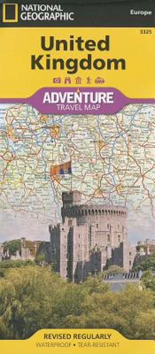
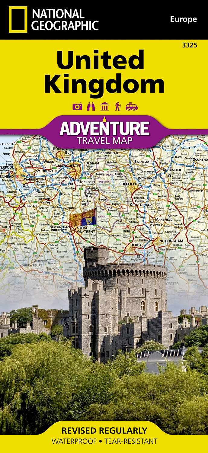
- United Kingdom
- Waterproof Tear-Resistant Travel MapNational Geographic's United Kingdom AdventureMap is designed to meet the needs of adventure travelers with its durability and detailed, accurate information. This map includes the locations of cities and towns with a user-friendly index, a clearly marked road network complete with distances and... Read more
- Also available from:
- Bol.com, Belgium
- De Zwerver, Netherlands
Bol.com
Belgium
Belgium
- United Kingdom
- Waterproof Tear-Resistant Travel MapNational Geographic's United Kingdom AdventureMap is designed to meet the needs of adventure travelers with its durability and detailed, accurate information. This map includes the locations of cities and towns with a user-friendly index, a clearly marked road network complete with distances and... Read more
De Zwerver
Netherlands
Netherlands
- Wegenkaart - landkaart 3325 Adventure Map United Kingdom - Verenigd Koninkrijk - Engeland | National Geographic
- Waterproof Tear-Resistant Travel MapNational Geographic's United Kingdom AdventureMap is designed to meet the needs of adventure travelers with its durability and detailed, accurate information. This map includes the locations of cities and towns with a user-friendly index, a clearly marked road network complete with distances and... Read more

Stanfords
United Kingdom
United Kingdom
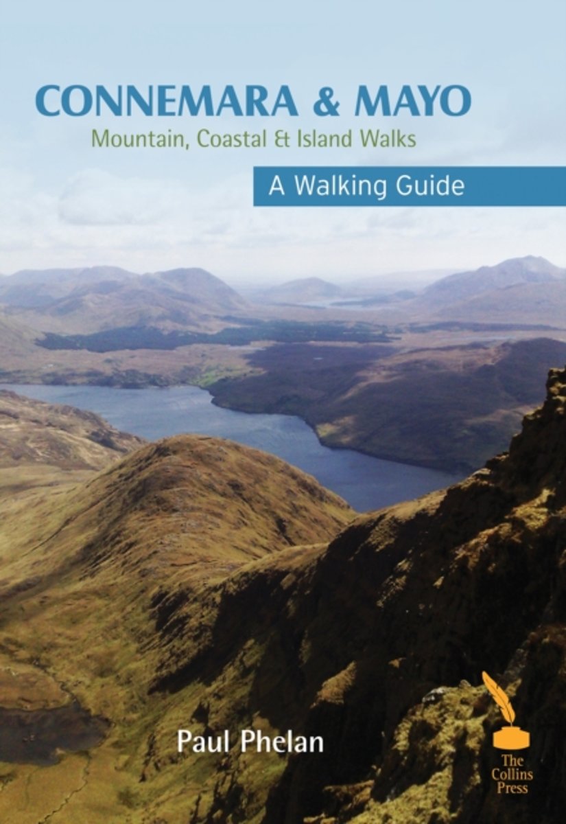
- Connemara & Mayo - A Walking Guide: Mountain, Coastal & Island Walks
- Connemara and Mayo form an area known for stunning scenery and this guidebook describes some of the region`s best and most spectacular walks. A wide variety of walks and terrains are covered: easy two-hour walks on surfaced paths; two- to three-hour ?at island and coastal walks; two- to four-hour gentle hill and mountain hikes; and four- to... Read more
- Also available from:
- Bol.com, Netherlands
- Bol.com, Belgium
Bol.com
Netherlands
Netherlands
- Connemara & Mayo Walking Guide
- Connemara and Mayo form an area known for stunning scenery and this guidebook describes some of the region's best and most spectacular walks. A wide variety of walks and terrains are covered: easy two-hour walks on surfaced paths; two- to three-hour flat island and coastal walks; two- to four-hour gentle hill and mountain hikes; and four- to... Read more
Bol.com
Belgium
Belgium
- Connemara & Mayo Walking Guide
- Connemara and Mayo form an area known for stunning scenery and this guidebook describes some of the region's best and most spectacular walks. A wide variety of walks and terrains are covered: easy two-hour walks on surfaced paths; two- to three-hour flat island and coastal walks; two- to four-hour gentle hill and mountain hikes; and four- to... Read more

- Also available from:
- Bol.com, Netherlands
- Bol.com, Belgium
- De Zwerver, Netherlands
Bol.com
Netherlands
2016
Netherlands
2016
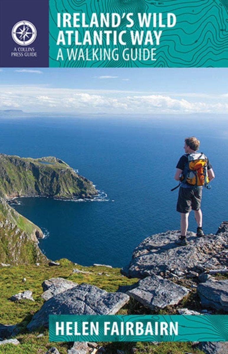
- Ireland's Wild Atlantic Way
- The Wild Atlantic Way follows the magnificent west coast of Ireland, passing golden beaches, thrusting headlands and soaring sea cliffs. Renowned walking-guide author Helen Fairbairn explores the best walking routes of the region, recommending trips to uninhabited islands, coastal mountains and much more. Routes vary from two to six hours, and... Read more
Bol.com
Belgium
2016
Belgium
2016
- Ireland's Wild Atlantic Way
- The Wild Atlantic Way follows the magnificent west coast of Ireland, passing golden beaches, thrusting headlands and soaring sea cliffs. Renowned walking-guide author Helen Fairbairn explores the best walking routes of the region, recommending trips to uninhabited islands, coastal mountains and much more. Routes vary from two to six hours, and... Read more

De Zwerver
Netherlands
2016
Netherlands
2016
- Wandelgids Ireland's Wild Atlantic Way | The Collins Press
- A Walking Guide: 2016 Read more
Bol.com
Netherlands
Netherlands
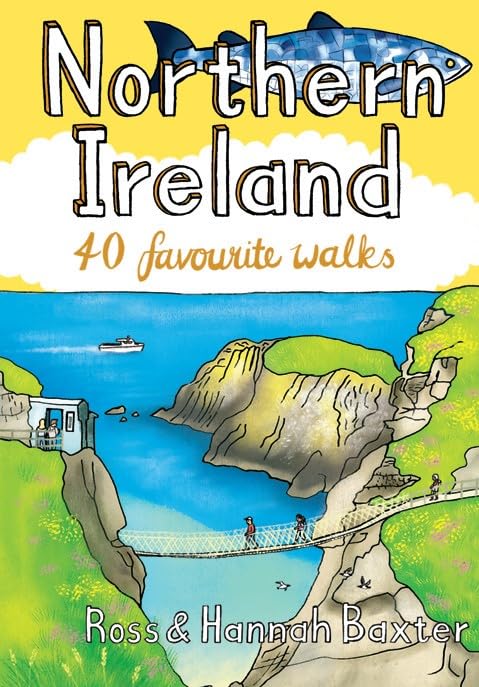
- Northern Ireland
- A guide to several walking routes in Northern Ireland. From rugged mountain peaks to spectacular coastal scenery, from challenging hill walks to shorter woodland and waterside excursions, this selection aims to provide something for everyone. Read more
- Also available from:
- Bol.com, Belgium
Bol.com
Belgium
Belgium
- Northern Ireland
- A guide to several walking routes in Northern Ireland. From rugged mountain peaks to spectacular coastal scenery, from challenging hill walks to shorter woodland and waterside excursions, this selection aims to provide something for everyone. Read more

Stanfords
United Kingdom
2012
United Kingdom
2012
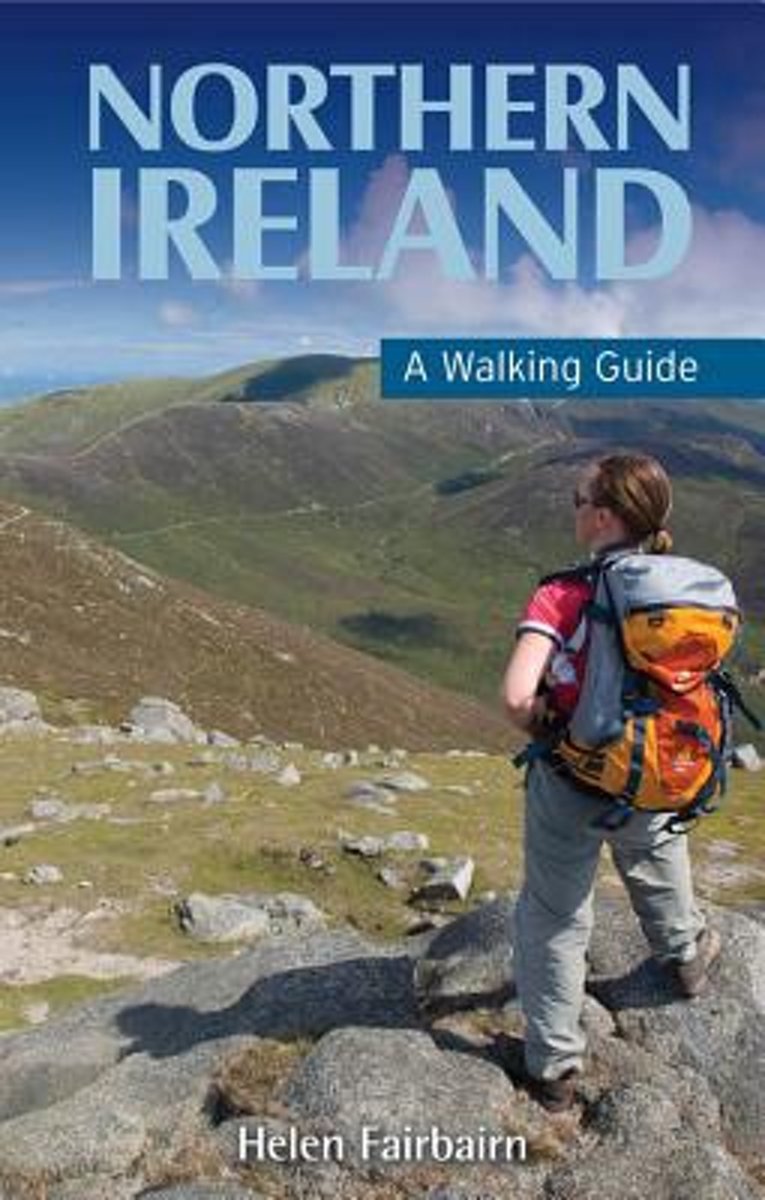
- Northern Ireland - A Walking Guide
- This guide presents top-class walking routes in Northern Ireland. From rugged mountain peaks to spectacular coastal scenery, from challenging hill walks to shorter woodland and waterside excursions, there is something for everyone. Every part of the region is covered, from the mountains of Mourne to the Giant`s Causeway, from Fermanagh`s `lake... Read more
- Also available from:
- The Book Depository, United Kingdom
- Bol.com, Netherlands
- Bol.com, Belgium
- De Zwerver, Netherlands

Bol.com
Netherlands
2012
Netherlands
2012
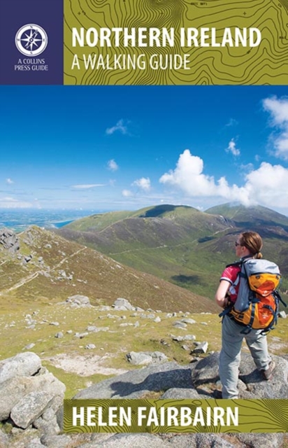
- Northern Ireland
- This revised guide presents top-class walking routes in Northern Ireland. From rugged mountain peaks to spectacular coastal scenery, from challenging hill walks to shorter woodland and waterside excursions, there is something for everyone. Every part of the region is covered, from the mountains of Mourne to the Giant's Causeway, from... Read more
Bol.com
Belgium
2012
Belgium
2012
- Northern Ireland
- This revised guide presents top-class walking routes in Northern Ireland. From rugged mountain peaks to spectacular coastal scenery, from challenging hill walks to shorter woodland and waterside excursions, there is something for everyone. Every part of the region is covered, from the mountains of Mourne to the Giant's Causeway, from... Read more
De Zwerver
Netherlands
2012
Netherlands
2012
- Wandelgids Northern Ireland | The Collins Press
- This guide presents top-class walking routes in Northern Ireland. From rugged mountain peaks to spectacular coastal scenery, from challenging hill walks to shorter woodland and waterside excursions, there is something for everyone. Every part of the region is covered, from the mountains of Mourne to the Giant's Causeway, from Fermanagh's 'lake... Read more
Maps

Stanfords
United Kingdom
United Kingdom
- Sperrins Activity Map
- Sperrin Mountains at 1:25,000 on a large, double-sided Activity Map from the Ordnance Survey of Northern Ireland designed with outdoor enthusiasts in mind: waterproof and tear-resistant, topographic and GPS compatible, with hiking and cycling routes and tourist information for the area, plus coverage of the north-western part of the country at... Read more

Stanfords
United Kingdom
United Kingdom
- Strabane OSNI Discovery 12
- Strabane, map No. 12 in the Discoverer series from the Ordnance Survey of Northern Ireland presenting the country on detailed topographic maps at 1:50,000 with waymarked hiking trails, Sustrans National Cycle Network and other tourist information. Coverage includes Castlederg, Sion Mills and Newtownstewart. Current edition E; publication date... Read more

Stanfords
United Kingdom
United Kingdom
- Strangford Lough Activity Map
- Strangford Lough at 1:25,000 on a large, double-sided Activity Map from the Ordnance Survey of Northern Ireland designed with outdoor enthusiasts in mind: waterproof and tear-resistant, topographic and GPS compatible, with hiking and cycling routes and tourist information for the area. Four enlargements at 1:10,000 present in greater detail... Read more

Stanfords
United Kingdom
United Kingdom
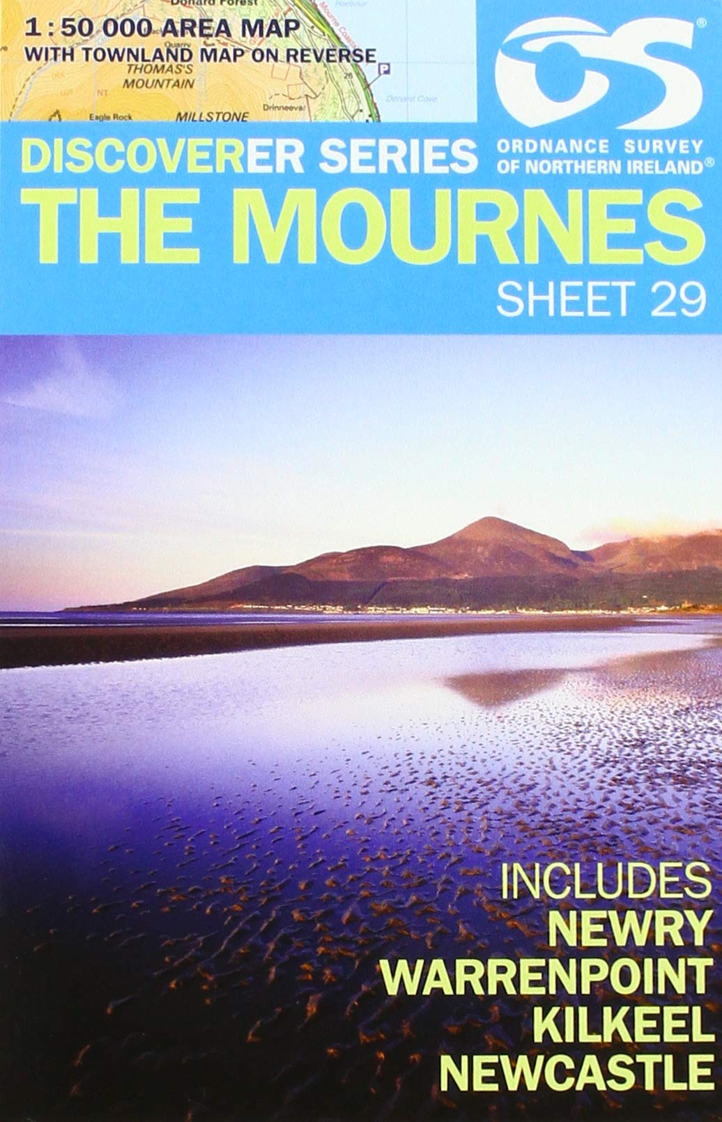
- The Mournes Activity Map
- The Mournes Activity Map, including Slieve Croob, at 1:25,000 on a large, double-sided map published by the Ordnance Survey of Northern Ireland. Printed on water-resistant paper, the map is designed with outdoor enthusiasts in mind and shows hiking routes and tourist information for the area.Topographic base has contours at 10m intervals, with... Read more

Stanfords
United Kingdom
United Kingdom
- Ballymoney OSNI Discovery 08
- Ballymoney, map No. 8 in the Discoverer series from the Ordnance Survey of Northern Ireland presenting the country on detailed topographic maps at 1:50,000 with waymarked hiking trails, Sustrans National Cycle Network and other tourist information. Coverage includes Portglenone, Cullybackey and Garvagh. Current edition E; publication date... Read more

Stanfords
United Kingdom
United Kingdom
- Armagh SUPERCEDED
- Armagh, map No. 19 in the Discoverer series from the Ordnance Survey of Northern Ireland presenting the country on detailed topographic maps at 1:50,000 with waymarked hiking trails, Sustrans National Cycle Network and other tourist information. Coverage includes Dungannon, Coalisland and Richhill. Current edition D; publication date November... Read more

Stanfords
United Kingdom
United Kingdom
- The Sperrins SUPERCEDED
- The Sperrins, map No. 13 in the Discoverer series from the Ordnance Survey of Northern Ireland presenting the country on detailed topographic maps at 1:50,000 with waymarked hiking trails, Sustrans National Cycle Network and other tourist information. Coverage includes Omagh, Cookstown and Draperstown. Current edition E; publication date... Read more

Stanfords
United Kingdom
United Kingdom
- Lough Erne Activity Map
- Lough Erne at 1:25,000 on a large, double-sided Activity Map from the Ordnance Survey of Northern Ireland designed with outdoor enthusiasts in mind: waterproof and tear-resistant, topographic and GPS compatible, with hiking and cycling routes and tourist information for the area. The map covers both Upper and Lower Lough Erne and the... Read more

Stanfords
United Kingdom
United Kingdom
- Glens of Antrim OSNI Activity Map
- Glens of Antrim at 1:25,000 on a large, double-sided Activity Map from the Ordnance Survey of Northern Ireland designed with outdoor enthusiasts in mind: waterproof and tear-resistant, topographic and GPS compatible, with hiking and cycling routes and tourist information for the area. Topographic base has contours at 10m intervals, with... Read more
- Also available from:
- The Book Depository, United Kingdom

The Book Depository
United Kingdom
United Kingdom
- Glens of Antrim 2012
- Glens of Antrim at 1:25,000 on a large, double-sided Activity Map from the Ordnance Survey of Northern Ireland designed with outdoor enthusiasts in mind: waterproof and tear-resistant, topographic and GPS compatible, with hiking and cycling routes and tourist information for the area. Topographic base has contours at 10m intervals, with... Read more

Stanfords
United Kingdom
United Kingdom
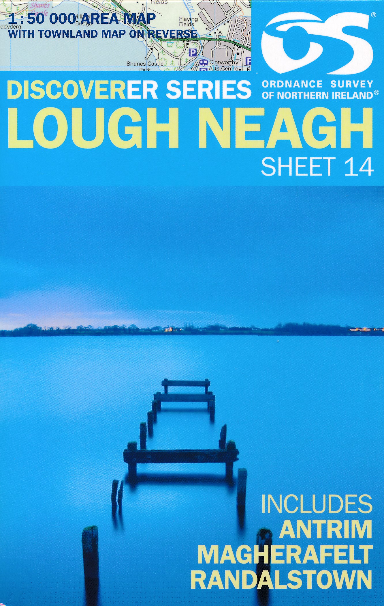
- Lough Neagh OSNI Discovery 14
- Lough Neagh, map No. 14 in the Discoverer series from the Ordnance Survey of Northern Ireland presenting the country on detailed topographic maps at 1:50,000 with waymarked hiking trails, Sustrans National Cycle Network and other tourist information. Coverage includes Antrim, Magherafelt and Randalstown. Current edition E; publication date... Read more
- Also available from:
- De Zwerver, Netherlands
De Zwerver
Netherlands
Netherlands
- Wandelkaart 14 Discoverer Lough Neagh | Ordnance Survey Northern Ireland
- Lough Neagh, map No. 14 in the Discoverer series from the Ordnance Survey of Northern Ireland presenting the country on detailed topographic maps at 1:50,000 with waymarked hiking trails, Sustrans National Cycle Network and other tourist information. Coverage includes Antrim, Magherafelt and Randalstown. Current edition E; publication date... Read more

Stanfords
United Kingdom
United Kingdom
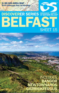
- Belfast OSNI Discovery 15
- Belfast, map No. 15 in the Discoverer series from the Ordnance Survey of Northern Ireland presenting the country on detailed topographic maps at 1:50,000 with waymarked hiking trails, Sustrans National Cycle Network and other tourist information. Coverage includes Bangor, Newtownards and Carrickfergus. Current edition G; publication date June... Read more
- Also available from:
- De Zwerver, Netherlands
De Zwerver
Netherlands
Netherlands
- Wandelkaart 15 Discoverer Belfast | Ordnance Survey Northern Ireland
- Belfast, map No. 15 in the Discoverer series from the Ordnance Survey of Northern Ireland presenting the country on detailed topographic maps at 1:50,000 with waymarked hiking trails, Sustrans National Cycle Network and other tourist information. Coverage includes Bangor, Newtownards and Carrickfergus. Current edition G; publication date June... Read more

Stanfords
United Kingdom
United Kingdom
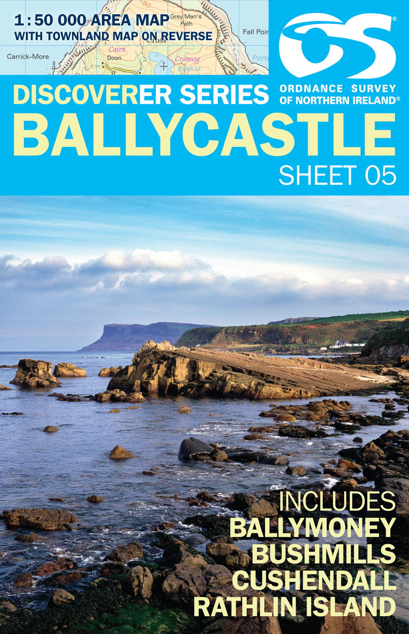
- Ballycastle OSNI Discovery 05
- Ballycastle, map No. 5 in the Discoverer series from the Ordnance Survey of Northern Ireland presenting the country on detailed topographic maps at 1:50,000 with waymarked hiking trails, Sustrans National Cycle Network and other tourist information. Coverage includes Ballymoney, Bushmills, Cushendall and Rathlin Islands. Current edition F;... Read more
- Also available from:
- De Zwerver, Netherlands

Stanfords
United Kingdom
United Kingdom
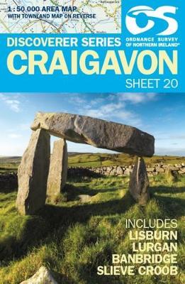
- Craigavon OSNI Discovery 20
- Craigavon, map No. 20 in the Discoverer series from the Ordnance Survey of Northern Ireland presenting the country on detailed topographic maps at 1:50,000 with waymarked hiking trails, Sustrans National Cycle Network and other tourist information. Coverage includes Lisburn, Lurgan, Banbridge and Slieve Croob. Current edition published in... Read more
- Also available from:
- De Zwerver, Netherlands
De Zwerver
Netherlands
Netherlands
- Wandelkaart 20 Discoverer Craigavon | Ordnance Survey Northern Ireland
- Craigavon, map No. 20 in the Discoverer series from the Ordnance Survey of Northern Ireland presenting the country on detailed topographic maps at 1:50,000 with waymarked hiking trails, Sustrans National Cycle Network and other tourist information. Coverage includes Lisburn, Lurgan, Banbridge and Slieve Croob. Current edition F; publication... Read more
De Zwerver
Netherlands
Netherlands
De Zwerver
Netherlands
Netherlands
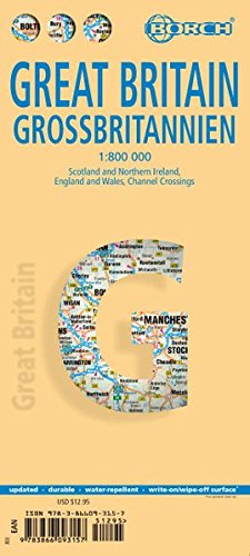
- Wegenkaart - landkaart Groot - Brittannië | Borch
- Grossbritannien / Great Britain 1 : 800 000 ab 9.9 EURO Scotland and Northern Ireland, England and Wales, Channel Crossings Borch Map. 13. Auflage Read more