Canada
Description

Canada: the world's fourth largest country, after Russia, China, United States. When the water area is included, Canada is the second largest. A vast land area between 41 and 84 degrees. The southernmost tip is on the same latitude as Rome. The northernmost tip is near the North Pole. The USA are only slightly larger, but count 10 times as many inhabitants.
From east to west, the country displays a great geographical diversity. The Appalachian Mountains run through to Newfoundland on Canada's east coast. Going west, we encounter the Great Lakes and St. Lawrence Lowlands. Further west lie the vast Canadian Interior Plains, hot summers, cold winters. Further west still, we hit the mountains of the Continental Divide, including the Canadian Rockies. The western coastline finally is green and sparsely populated. Most of Canada's land mass is virtually uninhabited: the Arctic part of Canada.
The hiking trails in Canada are as varied as the landscape. You have a wide choice of trails:
- Multi-use Trailways (eg Newfoundland T'railway). Many old railways have been turned into use as recreation trail, which is a very good thing of course. On these paths, cycling is probably more popular than walking, depending on the quality of the surface. Trailways typically are open to hiking, horse riding, cycling, cross country skiing and sometimes snowmobiling in winter;
- Wilderness hikes (for example the West Coast Trail, Canol Heritage Trail). These are rough trails, far from civilization, meant for experienced hikers who are prepared to dragging everything with them for an extended period;
- Long trails (eg the National Hiking Trail of Canada, Trans Canada Trail). These are semi-permanent projects to create a trail bigger than big. The Trans Canada Trail is a multiuse trail from the east coast to the west coast. Efforts to create a second trail, which is intended solely for walkers, presumably are not very succesful yet: the National Hiking Trail of Canada;
- Recreation Trails (For example the Niagara River Recreation Trail, visiting the Niagara Falls). These are easier paths, often multi-use, through nature, forest, fields and farmlands. Often they also have some historical significance. Along the way, options for sleeping often include hotels and B&B's beside campgrounds;
- The national and provincial parks offer a choice of shorter and longer walks. These trails are not allways known by a name. An advantage of this type of hiking are the often good camping facilities amidst beautiful scenery. The downside are the large crowds.
As mentioned before, trails are frequently multi-use. On the one hand there is a Canadian lobby to allow the widest possible public access to these public funded trails, including snowmobiling. On the other hand there is a counter lobby to exclusively designate these trails to the serious nature lover who is walking or skiing at most. To make things worse, we have to count on many ATV enthusiasts, who, with their noisy quads destroy the trails and squander nature. In short: war.
To conclude our brief introduction, let's spend some words to the famous Canadian bug. This is not one particular species of small animals, it is rather a collective noun for any annoying insect that you might encounter in nature, often in large numbers, such as black flies, mosquitoes, midges and deer flies. These hateful little creature often bite. They can be a plague, especially during the summer months, depending on weather conditions, humidity, and habitat. In spring they are not so numerous which makes for a more relaxed time on trail. But then there are obviously other pests, such as mud and snow.
From the small bite to the big bite: Canada has healthy populations of black bears, grizzly bears, polar bears and secretive but potentially dangerous cougars (puma's). Nature is wild and beautiful, especialy in Canada.
Map


Trails
- Acadian Peninsula Trail
- Akshayuk Pass
- Alexander MacKenzie Heritage TrailGPX
- Altona-Gretna-Rhineland
- Assiniboine Traverse
- Avon TrailGPX
- Blue Water TrailGPX
- Bruce TrailGPX
- Canol Heritage Trail
- Cape-to-Cape Trail
- Cataraqui Trail
- Central Ontario Loop Trail
- Chilkoot TrailGPX
- Chrysler Canada Greenway
- Cohos TrailGPX
- Confederation TrailGPX
- Crocus Trail
- Crow Wing Trail
- Dobson Trail
- East Coast TrailGPX
- Eastern Continental TrailGPX
- Elgin Hiking Trail
- Elora Cataract TrailwayGPX
- Fundy FootpathGPX
- Galloping Goose Regional TrailGPX
- Ganaraska Hiking TrailGPX
- Goat River Trail
- Grand Valley TrailGPX
- Great Divide TrailGPX
- Greater Niagara Circle Route
- International Appalachian TrailGPX
- Juan de Fuca TrailGPX
- La Cloche Silhouette TrailGPX
- Laurentien Trail
- Lorne Trail
- Mantario TrailGPX
- Miami-Thompson Trail
- Miramichi River Trail
- National Hiking Trail of Canada
- Newfoundland T'Railway
- Niagara River Recreation Trail
- North Coast Trail
- North Whiteshell TrailGPX
- Oak Ridges TrailGPX
- Ottowa-Temiskaming Highland Trail
- Park to Park TrailGPX
- Red River North Trail
- Rideau TrailGPX
- Rossburn Trail
- Sentier de l'EstrieGPX
- Sentiers Frontaliers
- Stanley Trail
- Sunshine Coast TrailGPX
- Telegraph TrailGPX
- Thames Valley TrailGPX
- Trans Canada TrailGPX
- Traversée de CharlevoixGPX
- Voyageur Trail
- Waskahegan Trail
- Waterfront TrailGPX
- Welland Canals Trail
- West Coast TrailGPX
Regions
- Acadian Peninsula
- Akamina-Kishinena Provincial Park
- Algonquin Provincial Park
- Asessippi Provincial Park
- Avalon Peninsula
- Ayuittuq National Park
- Baffin Island
- Banff National Park
- Bowron Lake Provincial Park
- Canadian Rockies
- Chilkoot Trail National Historic Site
- Elk Island National Park
- Elk Lakes Provincial Park
- Fundy National Park
- Grand Beach Provincial Park
- Height of the Rockies Provincial Park
- Juan de Fuca Provincial Park
- Kakwa Provincial Park
- Killarney Provincial Park
- Killbear Provincial Park
- Kluskoil Lake Provincial Park
- Kootenay National Park
- La Mauricie National Park
- Lake Superior Provincial Park
- Laurentian Mountains
- Mount Assiniboine Provincial Park
- Mount Robson Provincial Park
- Pacific Rim National Park Reserve
- Parc national du Mont-Mégantic
- Parc national du Mont-Orford
- Peter Lougheed Provincial Park
- Pukaskwa National Park
- Riding Mountain National Park
- South Tweedsmuir Provincial Park
- Vancouver Island
- Waterton Lakes National Park
- Whiteshell Provincial Park
- Yoho and Jasper National Park
States


Links
Facts
Reports
Guides and maps
Lodging
Organisations
Tour operators
GPS
Other
Books

United Kingdom
2020
- DK Eyewitness Pacific Northwest: Oregon, Washington and British Columbia
- Follow the call of the wild to the pristine Pacific NorthwestWhether you want to hike through the spellbinding landscape of the Rockies, unwind with homebrewed beer in Portland or venture to Vancouver for immersive galleries and innovative dining, your DK Eyewitness travel guide makes sure you experience all that the Pacific Northwest has to... Read more

United Kingdom
- DK Eyewitness Travel Guide Las Vegas
- Explore this hedonistic city, from the casinos and attractions of the Las Vegas strip hotels - gondola rides at The Venetian and relaxing at Wynn Las Vegas - to the Fremont Street Experience and downtown. Seven itineraries, two guided walks and one scenic drive cover all the key areas. The DK Eyewitness Travel Guide Las Vegas showcases the... Read more


United Kingdom
- Walking St. Augustine
- An Illustrated Guide and Pocket History to America's Oldest City Read more

United Kingdom
2022
- DK Eyewitness Pacific Northwest
- Marrying vibrant cities with impeccable wilderness, the Pacific Northwest is as rich as it is diverse.Whether you want to drive along epic coastal highways, hike the pristine paths of Yoho National Park, or tuck into succulent street food in Portland, your DK Eyewitness travel guide makes sure you experience all that the Pacific Northwest has... Read more
- Also available from:
- De Zwerver, Netherlands
Netherlands
2022
- Reisgids Eyewitness Travel USA- Canada the Pacific Northwest | Dorling Kindersley
- Marrying vibrant cities with impeccable wilderness, the Pacific Northwest is as rich as it is diverse.Whether you want to drive along epic coastal highways, hike the pristine paths of Yoho National Park, or tuck into succulent street food in Portland, your DK Eyewitness travel guide makes sure you experience all that the Pacific Northwest has... Read more
Netherlands
- The Cambridge Gazetteer of the USA and Canada
- Originally published in 1995, The Cambridge Gazetteer of the United States and Canada contains more than 12,000 entries of places of all kinds. It is a detailed, alphabetically arranged enyclopedic dictionary of places. It includes coverage of all cities and towns having populations of over 25,000. But the Cambridge Gazetteer is far more than a... Read more
- Also available from:
- Bol.com, Belgium
Belgium
- The Cambridge Gazetteer of the USA and Canada
- Originally published in 1995, The Cambridge Gazetteer of the United States and Canada contains more than 12,000 entries of places of all kinds. It is a detailed, alphabetically arranged enyclopedic dictionary of places. It includes coverage of all cities and towns having populations of over 25,000. But the Cambridge Gazetteer is far more than a... Read more
Netherlands
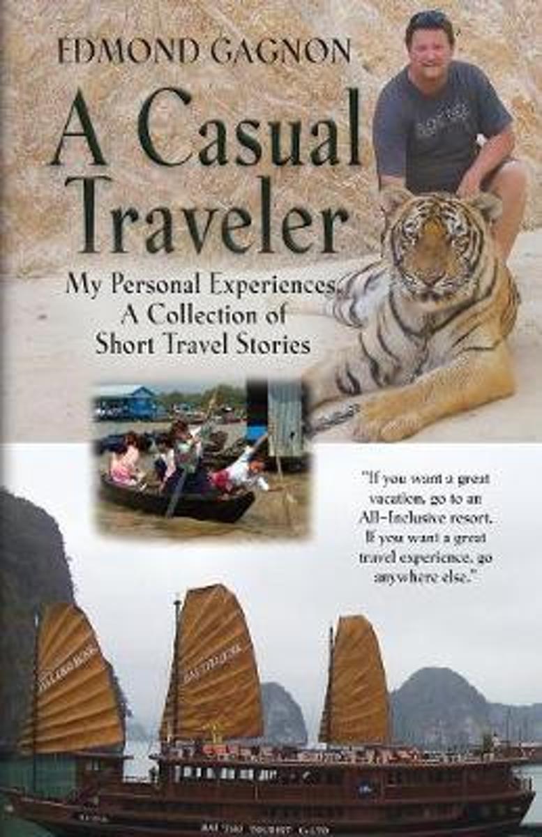
- A Casual Traveler
- A Casual Traveler is a collection of short travel tales and poems from the author's personal travels over a three year period. The stories take you to countries in Southeast Asia, North, Central, and South America. Motorcycle trips take you across Canada and the United States. The stories are true adventures, and misadventures, the author... Read more
- Also available from:
- Bol.com, Belgium
Belgium
- A Casual Traveler
- A Casual Traveler is a collection of short travel tales and poems from the author's personal travels over a three year period. The stories take you to countries in Southeast Asia, North, Central, and South America. Motorcycle trips take you across Canada and the United States. The stories are true adventures, and misadventures, the author... Read more
Netherlands
- CANADA 6
- A comprehensive travel guide to Canada, now in its sixth edition, this text also provides background information on the country's history, culture and politics. Features of the book include: a special section covering Canada's national parks and 12 World Heritage sites; 97 updated maps; Canadian French and Canadian English language sections;... Read more
- Also available from:
- Bol.com, Belgium
Belgium
- CANADA 6
- A comprehensive travel guide to Canada, now in its sixth edition, this text also provides background information on the country's history, culture and politics. Features of the book include: a special section covering Canada's national parks and 12 World Heritage sites; 97 updated maps; Canadian French and Canadian English language sections;... Read more
Netherlands
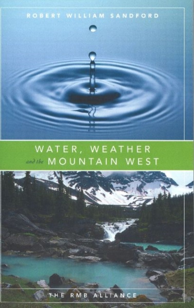
- Water, Weather and the Mountain West
- Growing populations, increasing industrial use and heavy agricultural demand are beginning to tax water supplies in many regions of Canada. Since many rivers are already fully allocated to numerous uses, future economic and social development will depend upon how much we know about our surface and ground water resources and how effectively we... Read more
- Also available from:
- Bol.com, Belgium
Belgium
- Water, Weather and the Mountain West
- Growing populations, increasing industrial use and heavy agricultural demand are beginning to tax water supplies in many regions of Canada. Since many rivers are already fully allocated to numerous uses, future economic and social development will depend upon how much we know about our surface and ground water resources and how effectively we... Read more
Netherlands
2002
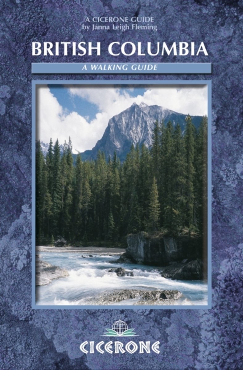
- British Columbia
- British Columbia is vast, four times the size of the UK, with only 3.5 million people, most of them in Vancouver. From the heights of the Canadian Rockies to the awesome Pacific coast, it contains a wide range of peoples, terrain and opportunities for real exploration. The Canadian wilderness gives meaning to the words pristine and rugged. With... Read more
- Also available from:
- Bol.com, Belgium
Belgium
2002
- British Columbia
- British Columbia is vast, four times the size of the UK, with only 3.5 million people, most of them in Vancouver. From the heights of the Canadian Rockies to the awesome Pacific coast, it contains a wide range of peoples, terrain and opportunities for real exploration. The Canadian wilderness gives meaning to the words pristine and rugged. With... Read more
Netherlands
2008
- ANWB Navigator Canada
- De Navigator reisgidsen zijn luxe uitgevoerde gidsen, boordevol informatie.ANWB Navigator combineert een glossy uitstraling met een grote toegankelijkheid. Naast traditionele onderwerpen als geschiedenis en bezienswaardigheden biedt ANWB Navigator u nog veel meer.Bijvoorbeeld informatie over shoppen, hoe het openbaar vervoer werkt, fotos van... Read more
- Also available from:
- Bol.com, Belgium
Belgium
2008
- ANWB Navigator Canada
- De Navigator reisgidsen zijn luxe uitgevoerde gidsen, boordevol informatie.ANWB Navigator combineert een glossy uitstraling met een grote toegankelijkheid. Naast traditionele onderwerpen als geschiedenis en bezienswaardigheden biedt ANWB Navigator u nog veel meer.Bijvoorbeeld informatie over shoppen, hoe het openbaar vervoer werkt, fotos van... Read more

Netherlands
- Insight Guides Travel Map Canada West
- Insight Travel Map Canada West:This detailed travel map is all you need to plan your route and navigate your way around Western Canada, and also includes area highlights, top attractions, places of interest, streetplans, and a fabulous free app.· Travel Map Canada West is drawn to a scale of 1:4 million, and shows the entire country, complete... Read more
- Also available from:
- Bol.com, Belgium
- De Zwerver, Netherlands
Belgium
- Insight Guides Travel Map Canada West
- Insight Travel Map Canada West:This detailed travel map is all you need to plan your route and navigate your way around Western Canada, and also includes area highlights, top attractions, places of interest, streetplans, and a fabulous free app.· Travel Map Canada West is drawn to a scale of 1:4 million, and shows the entire country, complete... Read more
Netherlands
- Wegenkaart - landkaart Canada West | Insight Guides
- Insight Travel Map Canada West:This detailed travel map is all you need to plan your route and navigate your way around Western Canada, and also includes area highlights, top attractions, places of interest, streetplans, and a fabulous free app.· Travel Map Canada West is drawn to a scale of 1:4 million, and shows the entire country, complete... Read more
Maps
United Kingdom
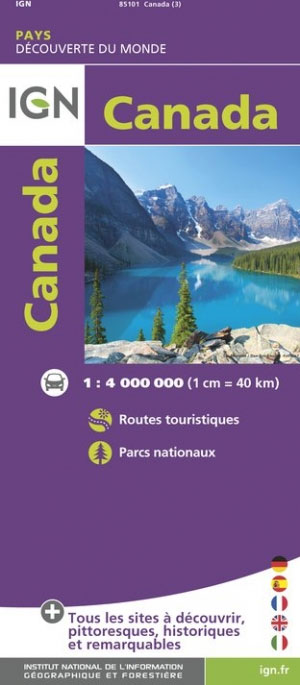
- Canada IGN Map 85101
- Colourful IGN map of Canada at 1:4,000,000 scale with topography shown by countours, elevation colouring, and spot heights. Road network includes seasonal roads and tracks, indicating petrol stations and intermediate distances on major roads. The map also shows places of interest, forest reserves, post offices, medical facilities, selected... Read more

United Kingdom
- Canada del Gallego CNIG Topo 976-3
- Topographic coverage of mainland Spain at 1:25,000 published by the Centro Nacional de Información Geograficá, the country’s civilian survey organization. The maps have contours at 10m intervals and colouring and/or graphics to show different types of vegetation or land use. Boundaries of national parks and other protected areas are marked. In... Read more
United Kingdom
- Cañada de Jara CNIG Topographic Map 1077-II
- Topographic coverage of mainland Spain at 1:25,000 published by the Centro Nacional de Información Geograficá, the country’s civilian survey organization. The maps have contours at 10m intervals and colouring and/or graphics to show different types of vegetation or land use. Boundaries of national parks and other protected areas are marked. In... Read more

United Kingdom
- World & Flags Hema Political Pacific-Centred
- The world at 1:40,850,000 presented with Pacific Ocean in the centre on a double-sided folded map from the Australian publishers Hema; political version on one side and a physical map on the reverse. Each side shows the land masses against the background of light blue oceans with bathymetric tints to reflect the depth of the ocean floor. Polar... Read more

United Kingdom
- Garibaldi Provincial Park ITMB
- Garibaldi Provincial Park at 1:50,000 in a series of topographic survey maps of selected areas of British Columbia and the Canadian Rockies from ITMB with cartography from Canada’s national survey organization. Most sheets are printed on light, waterproof and tear- resistant plastic paper.Whilst the Canadian Department of Natural Resources... Read more
Netherlands
2008
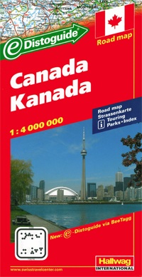
- Wegenkaart - landkaart Canada | Hallwag
- Kanada Strassenkarte ab 11.95 EURO Karte mit Distoguide, Reiseinformationen mit Piktogrammen, Sehenswürdigkeiten, Nationalparks und Monumenten, States BeeTagg und Index. 1:4 Mio. Road Map Hallwag Straßenkarte. 4. Auflage, Laufzeit bis 2017 Read more


United Kingdom
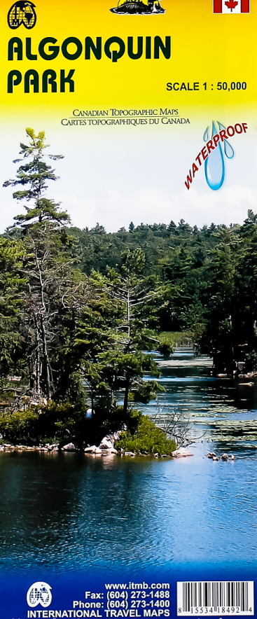
- Algonquin Park ITMB
- Waterproof and tear-resistant topographic survey map of Algonquin Park at 1:250,000 from ITMB, with an 1:50,000 enlargement of the Haliburton County and Nipissing District on the reverse. Both maps show highways with differentiation of the number of lanes indicated, loose surface roads, cart tracks, and trails are marked. Points of interest are... Read more
- Also available from:
- De Zwerver, Netherlands
Netherlands
- Wegenkaart - landkaart - Topografische kaart - Wandelkaart Algonquin Park (Canada) | ITMB
- Waterproof and tear-resistant topographic survey map of Algonquin Park at 1:250,000 from ITMB, with an 1:50,000 enlargement of the Haliburton County and Nipissing District on the reverse. Both maps show highways with differentiation of the number of lanes indicated, loose surface roads, cart tracks, and trails are marked. Points of interest are... Read more
Netherlands
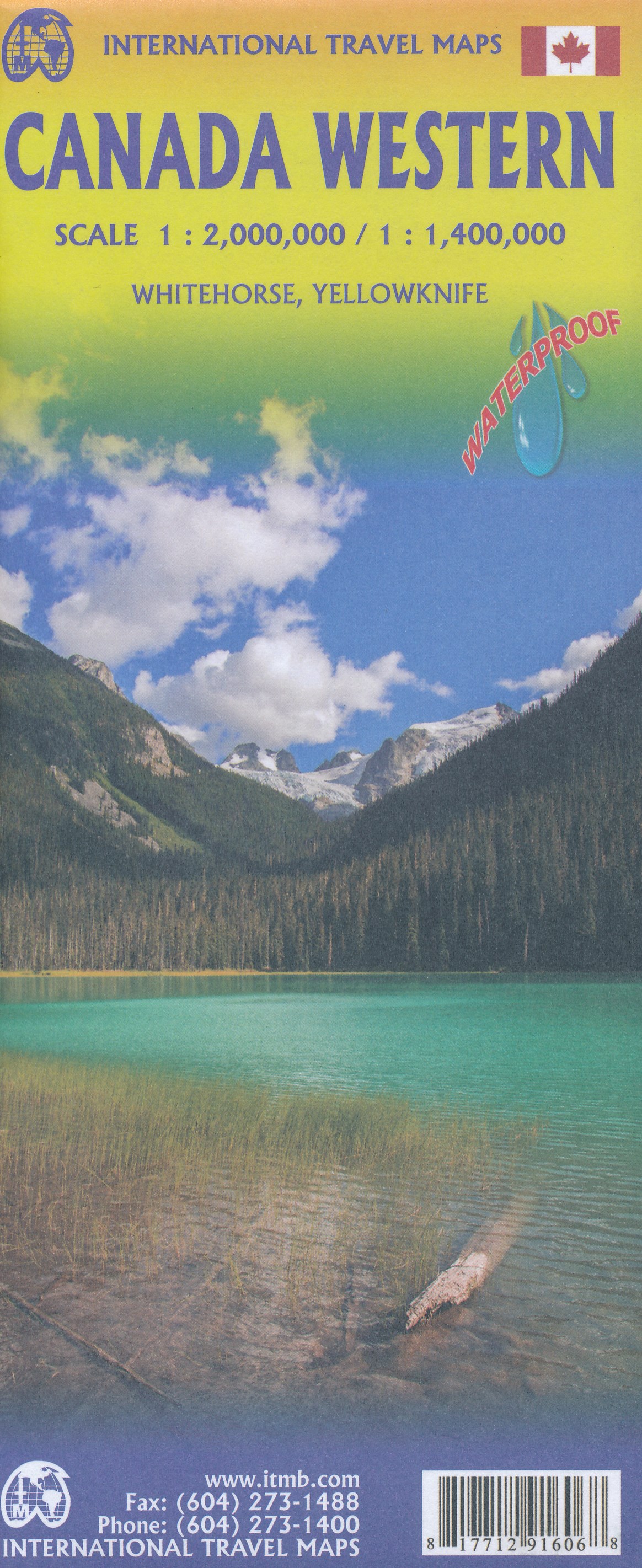
- Wegenkaart - landkaart Western Canada | ITMB
- Canada Western Travel Reference Map 1 : 2 000 000 / 1 : 1 400 000 ab 10.49 EURO Whitehorse, Yellowknife. Waterproof International Travel Map ITM. 1st Edition Read more

United Kingdom
- Many Glacier - Glacier and Waterton Lakes National Parks MT
- Map No. 313, Glacier National Park: North Fork, MT, in an extensive series of GPS compatible, contoured hiking maps of USA’s national and state parks or forests and other popular recreational areas. Cartography based on the national topographic survey, with additional tourist information.The maps, with most titles now printed on light,... Read more
- Also available from:
- Bol.com, Netherlands
- Bol.com, Belgium
- De Zwerver, Netherlands

Netherlands
- Many Glacier, Glacier National Park
- Waterproof Tear-Resistant Topographic MapLocated just north of Kalispell in Montana's northwest corner, Glacier National contains an abundance of recreational opportunities for outdoor enthusiasts of all interests.This detailed topographic recreation map contains carefully researched trails, campsites, forest service roads, and... Read more
Belgium
- Many Glacier, Glacier National Park
- Waterproof Tear-Resistant Topographic MapLocated just north of Kalispell in Montana's northwest corner, Glacier National contains an abundance of recreational opportunities for outdoor enthusiasts of all interests.This detailed topographic recreation map contains carefully researched trails, campsites, forest service roads, and... Read more

Netherlands
- Wandelkaart - Topografische kaart 314 Many Glacier - Glacier and Waterton Lakes National Parks | National Geographic
- Prachtige geplastificeerde kaart van het bekende nationaal park. Met alle recreatieve voorzieningen als campsites, maar ook met topografische details en wandelroutes ed. Door uitgekiend kleurgebruik zeer prettig in gebruik. Scheur en watervast! Located just north of Kalispell in Montana's northwest corner, Glacier National contains an... Read more
Netherlands
- Wegenkaart - landkaart Great Lakes Region - Grote Meren | ITMB
- Great Lakes Region USA / Canada 1 : 1 000 000 ab 10.49 EURO International Travel Map ITM. 1st Edition Read more
Netherlands