
Yoho and Jasper National Park
Description
Located in the Canadian Rocky Mountains along the western slope of the Continental Divide in southeastern British Columbia.
Trails in this region
Links
Facts
Reports
Guides and maps
Lodging
Organisations
Tour operators
GPS
Other
Books

Stanfords
United Kingdom
United Kingdom
- Best of Canmore Gem Trek
- Best of Camnore, a contoured and GPS compatible, waterproof and tear-resistant map/guide at 1:35,000 from Gem Trek, designed for people who are only going to be in Camnore for one to three days and want to know the highlights. On one side is a detailed, relief-shaded topographic map of the Canmore area, covering Canmore Nordic Centre Provincial... Read more

The Book Depository
United Kingdom
2021
United Kingdom
2021
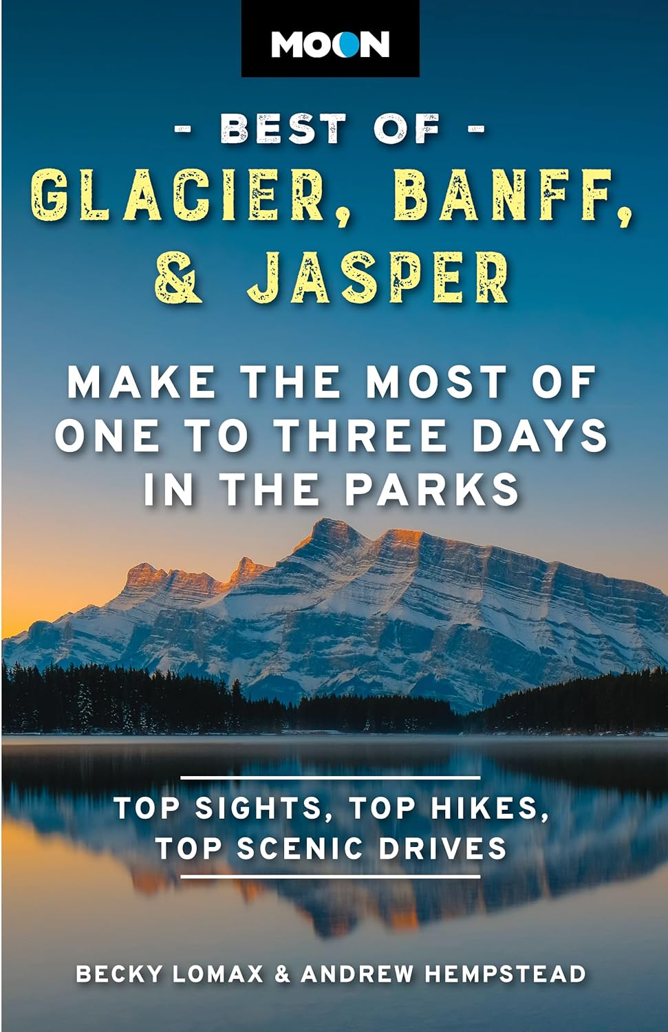
- Moon Best of Glacier, Banff & Jasper (First Edition)
- Make the Most of One to Three Days in the Parks Read more
Bol.com
Netherlands
2016
Netherlands
2016
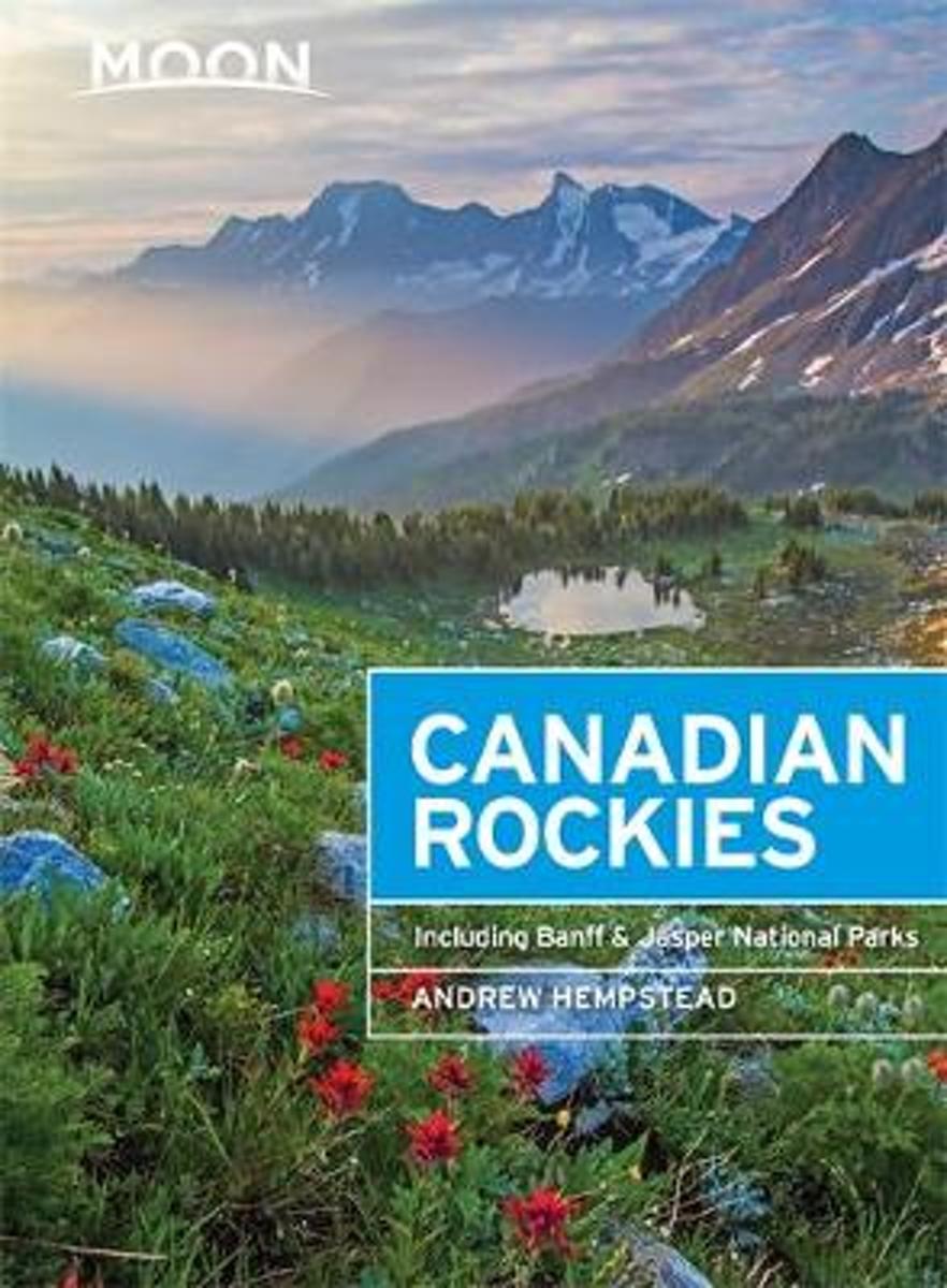
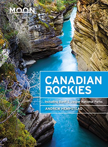
- Moon Canadian Rockies (8th ed)
- Canada resident and avid outdoorsman Andrew Hempstead offers his firsthand advice on experiencing the Canadian Rockiesfrom rafting on the Bow River and hiking Lake O'Hara to staying in a remote log cabin. Hempstead includes unique trip ideas, such as A Week Under the Stars and Exploring the Canadian Rockies with Children. Complete with details... Read more
- Also available from:
- Bol.com, Belgium
Bol.com
Belgium
2016
Belgium
2016
- Moon Canadian Rockies (8th ed)
- Canada resident and avid outdoorsman Andrew Hempstead offers his firsthand advice on experiencing the Canadian Rockiesfrom rafting on the Bow River and hiking Lake O'Hara to staying in a remote log cabin. Hempstead includes unique trip ideas, such as A Week Under the Stars and Exploring the Canadian Rockies with Children. Complete with details... Read more

Bol.com
Netherlands
Netherlands
- Where the Heart Beats
- A heroic biography of John Cage and his awakening through Zen Buddhisma kind of love story about a brilliant American pioneer of the creative arts who transformed himself and his culture (TheNew York Times) Composer John Cage sought the silence of a mind at peace with itselfand found it in Zen Buddhism, a spiritual path that changed... Read more
- Also available from:
- Bol.com, Belgium
Bol.com
Belgium
Belgium
- Where the Heart Beats
- A heroic biography of John Cage and his awakening through Zen Buddhisma kind of love story about a brilliant American pioneer of the creative arts who transformed himself and his culture (TheNew York Times) Composer John Cage sought the silence of a mind at peace with itselfand found it in Zen Buddhism, a spiritual path that changed... Read more

Bol.com
Netherlands
Netherlands
- Canadian Rockies
- National Geographic's Canadian Rockies DestinationMap strikes the perfect balance between map and guidebook and is an ideal resource for touring this culturally and geographically unique region. Canada's share of the Rocky Moutains averages approximately 100 miles across (160 kilometers) and runs from Waterton Lakes National Park on the... Read more
- Also available from:
- Bol.com, Belgium
Bol.com
Belgium
Belgium
- Canadian Rockies
- National Geographic's Canadian Rockies DestinationMap strikes the perfect balance between map and guidebook and is an ideal resource for touring this culturally and geographically unique region. Canada's share of the Rocky Moutains averages approximately 100 miles across (160 kilometers) and runs from Waterton Lakes National Park on the... Read more
Bol.com
Netherlands
2018
Netherlands
2018
- Moon Canadian Rockies (Ninth Edition)
- Find Your Adventure in the Canadian Rockies with Moon Travel Guides! Snowy peaks, icy glaciers, glittering lakes, and alpine meadows: answer the call of the wild with Moon Canadian Rockies. What's inside Moon Canadian Rockies: * Strategic Itineraries in an easy-to-navigate format, such as Best of the Canadian Rockies , Top 12 Day Hikes, Family... Read more
- Also available from:
- Bol.com, Belgium
Bol.com
Belgium
2018
Belgium
2018
- Moon Canadian Rockies (Ninth Edition)
- Find Your Adventure in the Canadian Rockies with Moon Travel Guides! Snowy peaks, icy glaciers, glittering lakes, and alpine meadows: answer the call of the wild with Moon Canadian Rockies. What's inside Moon Canadian Rockies: * Strategic Itineraries in an easy-to-navigate format, such as Best of the Canadian Rockies , Top 12 Day Hikes, Family... Read more
Bol.com
Netherlands
Netherlands
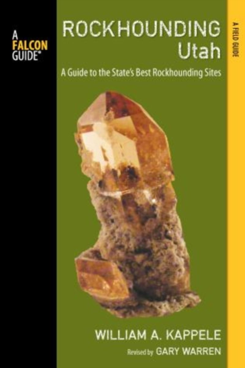
- Rockhounding Utah
- This completely updated and revised, full-color edition of Rockhounding Utah reveals the grandeur of the state's exposed formations, its canyon walls etched with fossils, and the spires and arches of the Needles District in Canyonlands National Park. Each description of the 86 state's sites includes concise information on the material to be... Read more
- Also available from:
- Bol.com, Belgium
Bol.com
Belgium
Belgium
- Rockhounding Utah
- This completely updated and revised, full-color edition of Rockhounding Utah reveals the grandeur of the state's exposed formations, its canyon walls etched with fossils, and the spires and arches of the Needles District in Canyonlands National Park. Each description of the 86 state's sites includes concise information on the material to be... Read more

Bol.com
Netherlands
Netherlands
- Souvenir of the Canadian Rockies
- In celebration of the 150th anniversary of Canadian Confederation and in conjunction with Parks Canadas announcement that entrance to all of Canadas national parks, national historic sites and national marine conservation areas will be free throughout 2017, RMB is excited to launch an entirely new series of photography books created and... Read more
- Also available from:
- Bol.com, Belgium
Bol.com
Belgium
Belgium
- Souvenir of the Canadian Rockies
- In celebration of the 150th anniversary of Canadian Confederation and in conjunction with Parks Canadas announcement that entrance to all of Canadas national parks, national historic sites and national marine conservation areas will be free throughout 2017, RMB is excited to launch an entirely new series of photography books created and... Read more
Bol.com
Netherlands
Netherlands
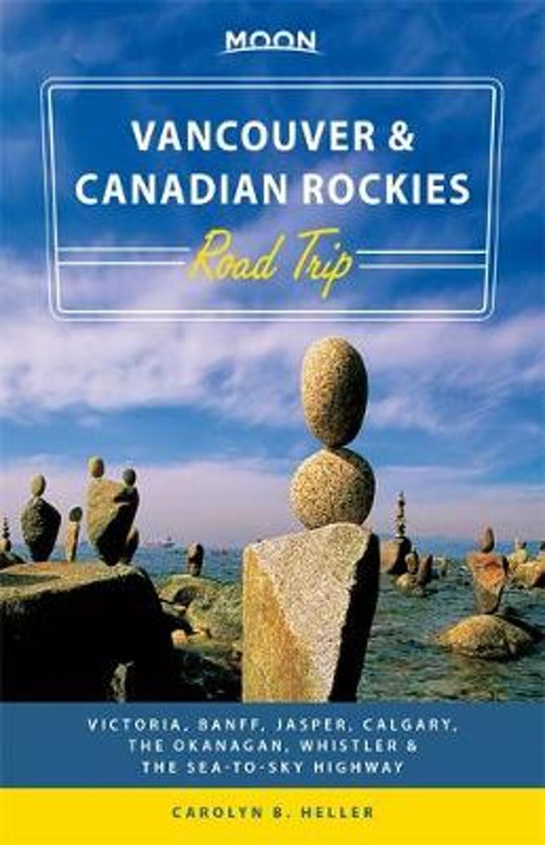
- Moon Vancouver & Canadian Rockies Road Trip
- Moon Vancouver & Canadian Rockies Road Trip will take you on the journey of a lifetime. Inside, youll find cross-country routes and road-tested advice for adventurers who want to see the parts of Canada that the interstates have left behind. It also includes mile-by-mile highlights celebrating major cities, obscure towns, popular attractions,... Read more
- Also available from:
- Bol.com, Belgium
Bol.com
Belgium
Belgium
- Moon Vancouver & Canadian Rockies Road Trip
- Moon Vancouver & Canadian Rockies Road Trip will take you on the journey of a lifetime. Inside, youll find cross-country routes and road-tested advice for adventurers who want to see the parts of Canada that the interstates have left behind. It also includes mile-by-mile highlights celebrating major cities, obscure towns, popular attractions,... Read more
Bol.com
Netherlands
Netherlands
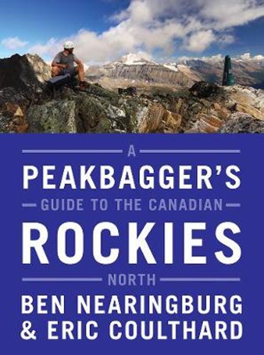
- A Peakbagger's Guide to the Canadian Rockies
- A full-colour, comprehensive scrambling guide to the increasingly popular mountain landscapes located in the northwestern reaches of the Rocky Mountains.Following in the footsteps of classic publications such as Scrambles in the Canadian Rockies and More Scrambles in the Canadian Rockies, A Peakbagger's Guide to the Canadian Rockies: North... Read more
- Also available from:
- Bol.com, Belgium
Bol.com
Belgium
Belgium
- A Peakbagger's Guide to the Canadian Rockies
- A full-colour, comprehensive scrambling guide to the increasingly popular mountain landscapes located in the northwestern reaches of the Rocky Mountains.Following in the footsteps of classic publications such as Scrambles in the Canadian Rockies and More Scrambles in the Canadian Rockies, A Peakbagger's Guide to the Canadian Rockies: North... Read more
Bol.com
Netherlands
Netherlands
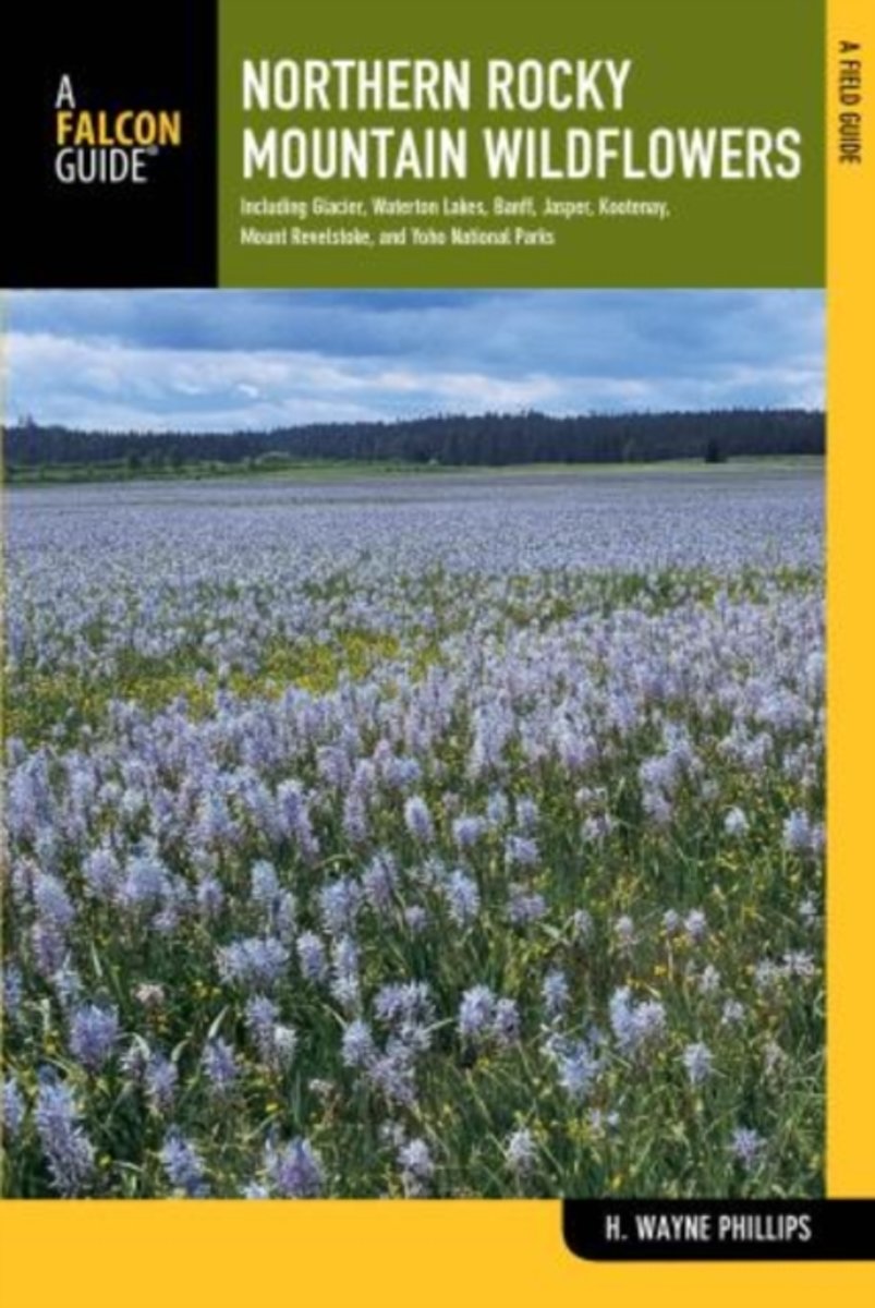
- Northern Rocky Mountain Wildflowers
- Fully revised and upated, Northern Rocky Mountain Wildflowers features more than 300 species of wildflowers found throughout northwestern Montana, northern Idaho, northeastern Washington, southeastern British Columbia, and southwestern Alberta. This valuable reference is organized by color and family for easy plant identification. You won't... Read more
- Also available from:
- Bol.com, Belgium
Bol.com
Belgium
Belgium
- Northern Rocky Mountain Wildflowers
- Fully revised and upated, Northern Rocky Mountain Wildflowers features more than 300 species of wildflowers found throughout northwestern Montana, northern Idaho, northeastern Washington, southeastern British Columbia, and southwestern Alberta. This valuable reference is organized by color and family for easy plant identification. You won't... Read more
Bol.com
Netherlands
2016
Netherlands
2016
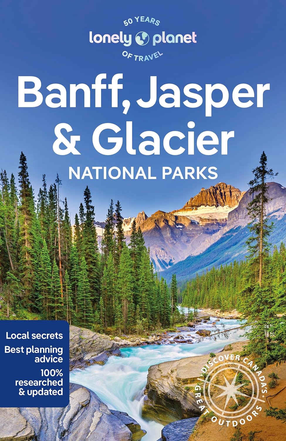
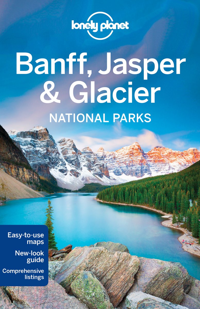
- Lonely Planet Banff, Jasper and Glacier National Parks dr 4
- Lonely Planet: The world's leading travel guide publisher Lonely Planet Banff, Jasper & Glacier National Parks is your passport to the most relevant, up-to-date advice on what to see and skip, and what hidden discoveries await you. Go hiking and camping in the Backcountry in Banff; mountain-biking and horseback riding in Jasper, or wildlife... Read more
- Also available from:
- Bol.com, Belgium
Bol.com
Belgium
2016
Belgium
2016
- Lonely Planet Banff, Jasper and Glacier National Parks dr 4
- Lonely Planet: The world's leading travel guide publisher Lonely Planet Banff, Jasper & Glacier National Parks is your passport to the most relevant, up-to-date advice on what to see and skip, and what hidden discoveries await you. Go hiking and camping in the Backcountry in Banff; mountain-biking and horseback riding in Jasper, or wildlife... Read more
Bol.com
Netherlands
Netherlands
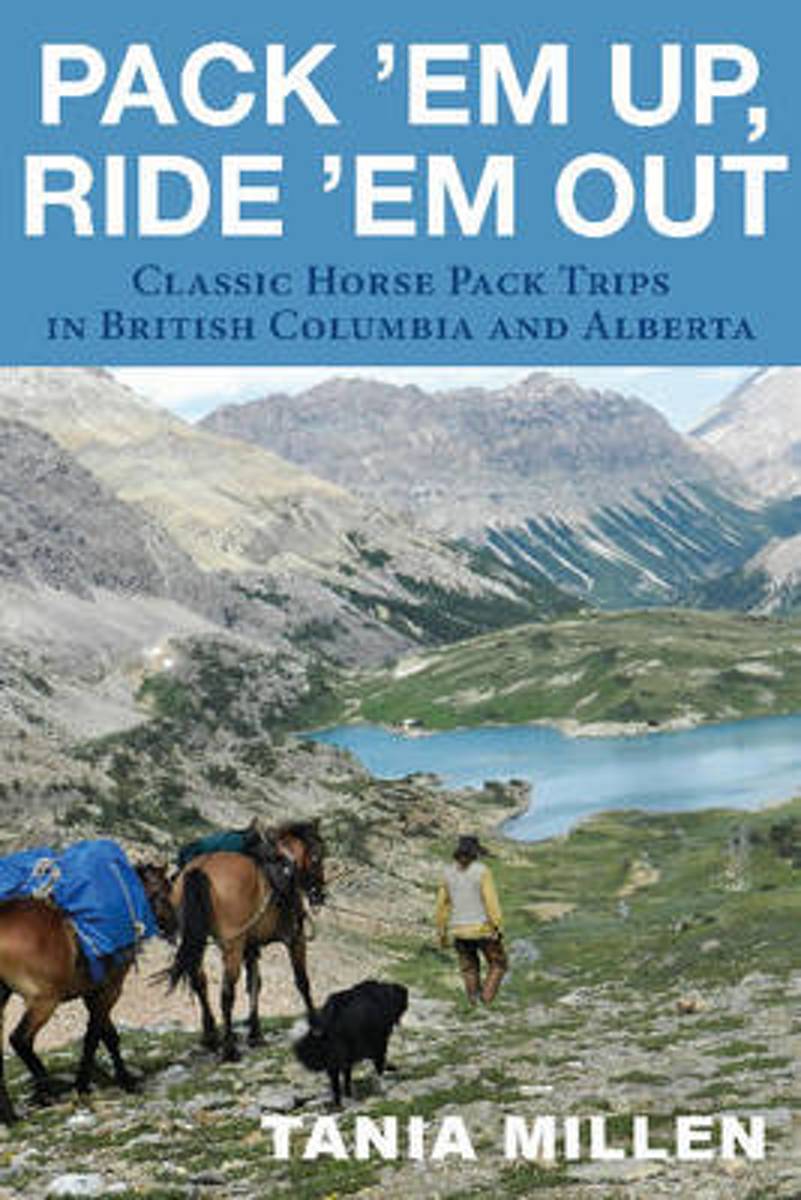
- Pack 'em Up, Ride 'em Out
- When Tania Millen began doing horse pack trips in western Canada, she had trouble deciding where to go - not because there were so many options, but because information was so hard to come by. Riding the trails was the only way she could gain information about particular routes, and she is now sharing her knowledge with readers and riders.... Read more
- Also available from:
- Bol.com, Belgium
Bol.com
Belgium
Belgium
- Pack 'em Up, Ride 'em Out
- When Tania Millen began doing horse pack trips in western Canada, she had trouble deciding where to go - not because there were so many options, but because information was so hard to come by. Riding the trails was the only way she could gain information about particular routes, and she is now sharing her knowledge with readers and riders.... Read more
Maps

Stanfords
United Kingdom
United Kingdom
- British Columbia FastTrack
- British Columbia, with coverage extending to Calgary to include the Banff and Jasper National Parks, on an indexed, waterproof and tear-resistant, handy size FastTrack map, presenting the whole province on two overlapping panels at 1:2,000,000, with more detailed enlargements and street plans covering the Vancouver at 1:1,275,000, the Victoria... Read more

Stanfords
United Kingdom
United Kingdom
- Kootenay Rockies - Calgary and Northern Montana Back Road Atlas
- South-eastern British Columbia with the adjoining regions of Alberta including the Banff and Jasper NP plus the border area of Montana with the Glacier NP presented at 1:250,000 in an A4 paperback road atlas with additional street plans, a listing of local events, etc.Mapping at 1:250,000 covers the areas indicated on our coverage image.... Read more

Stanfords
United Kingdom
United Kingdom
- Alberta Pocket Road Atlas
- Pocket road atlas of Alberta presenting the whole province at 1:1,325,000, with numerous enlargement showing in more detail most visited areas, including Banff, Jasper, Canmore, Calgary, Edmonton, etc. The index includes a listing of the province’s national and provincial parks.Road network indicates loose surface and unimproved roads, showing... Read more

Stanfords
United Kingdom
United Kingdom
- British Columbia - Alberta FastTrack
- British Columbia and Alberta, including the Banff and Jasper National Parks, on an indexed, double-sided road map presenting both provinces together at 1:2,000,000, plus more detailed mapping of the region’s main urban areas including Vancouver, Victoria, Calgary, etc.On one side both provinces are shown together at 1:2m with their road network... Read more

Stanfords
United Kingdom
United Kingdom
- Fort McMurray & Towns of Central and Northern Alberta
- Double-sided map presenting on separate panels indexed street plans of the towns in central and northern Alberta: Fort McMurray, Barrhead, Beaumont, Bonnyville, Cold Lake North & South with Medley, Devon, Edson, Gibbons, Grande Prairie, High Level Hinton, Jasper, Leduc, Morinville, Peace River, Redwater, Slave Lake, St. Paul, Spruce Grove... Read more

Stanfords
United Kingdom
United Kingdom
- Edmonton & Northern Alberta Street Atlas
- Street atlas of Edmonton and northern Alberta, including Beaumont, Bonnyville, Camrose, Cold Lake, Devon, Drayton Valley, Edson, Fort McMurray, Fort Saskatchewan, Grande Prairie, Hinton, Jasper, Lacombe, Leduc, Lloydminster, Morinville, Nisku, Peace River, Ponoka, Red Deer, Rocky Mountain House, St. Albert, St. Paul, Sherwood Park, Slave Lake,... Read more

Stanfords
United Kingdom
United Kingdom
- Jasper & Maligne Lake Gem Trek
- Jasper - Maligne Lake area of the Jasper National Park at 1:100,000 on a GPS compatible, waterproof and tear-resistant map from Gem Trek, with very extensive tourist information including recommendations for day or longer hikes, mountain biking trails, notes on camping permits, more detailed enlargements, etc.The map covers the most popular... Read more

Stanfords
United Kingdom
United Kingdom
- British Columbia - Alberta MapArt
- British Columbia and Alberta, including the Banff and Jasper National Parks, on an indexed, double-sided road map presenting both provinces together at 1:2,000,000, plus more detailed mapping of the region’s main urban areas including Vancouver, Victoria, Calgary, etc.On one side both provinces are shown together at 1:2m with their road network... Read more

Stanfords
United Kingdom
United Kingdom
- Alberta & Saskatchewan
- Alberta, including the Banff and Jasper National Parks, and Saskatchewan on an indexed road map presenting both provinces at 1:1,850,000, each accompanied by several street maps of their main cities, including detailed plans of downtown Calgary, Edmonton, Regina and Saskatoon.On one side is a road map of Alberta with coverage extending within... Read more

Stanfords
United Kingdom
United Kingdom
- Banff - Egypt Lake Gem Trek
- Banff - Egypt Lake, a contoured and GPS compatible map at 1:50,000 from Gem Trek of the main hiking area in the Banff National Park, with coverage around Banff itself, including trails eastwards to Lake Minnewanka and Johnson, and extending westwards across the state border to include parts of Kootenay NP and Mt. Assiniboine Provincial Park.... Read more

Stanfords
United Kingdom
United Kingdom
- Alberta MapArt
- Alberta, including the Banff and Jasper National Parks, on an indexed road map at 1:1,500,000 accompanied by several street maps of its main cities, including plans of Calgary, Edmonton and the holiday resorts of Banff, Jasper and Canmore.The road map shows Alberta at 1:1,500,000 prominently highlighting its numerous national and provincial... Read more

Stanfords
United Kingdom
United Kingdom
- Edmonton - Jasper & Environs FastTrack
- Waterproof and tear-resistant FastTrack map presenting in a handy-size format a street plan of Edmonton and a road map of most of the Jasper National Park, both at 1:250,000, plus a more detailed street plan of downtown Edmonton.On one side a street plan at 1:250,000 covers Edmonton with its outer suburbs, highlighting various facilities and... Read more
De Zwerver
Netherlands
Netherlands

Stanfords
United Kingdom
2020
United Kingdom
2020
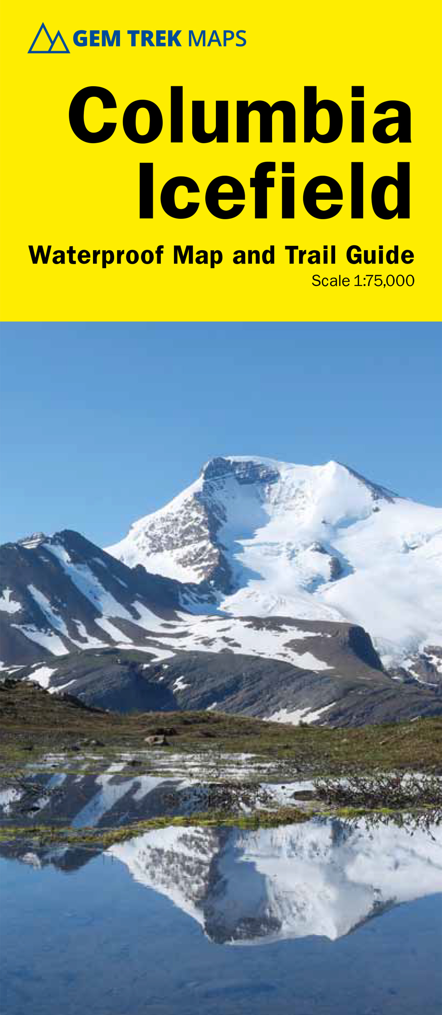
- Columbia Icefield Gem Trek Map
- Columbia Icefield spanning the border between the Banff and the Jasper National Parks in the Canadian Rockies on a contoured and GPS-compatible, waterproof and tear-resistant map at 1:75,000 from Gem Trek, with extensive tourist information including recommended hikes, geology, etc. Coverage extends along both sides of the Icefields Parkway... Read more
- Also available from:
- De Zwerver, Netherlands
De Zwerver
Netherlands
2020
Netherlands
2020
- Wandelkaart 02 Columbia Icefield | Gem Trek Maps
- Columbia Icefield spanning the border between the Banff and the Jasper National Parks in the Canadian Rockies on a contoured and GPS-compatible, waterproof and tear-resistant map at 1:75,000 from Gem Trek, with extensive tourist information including recommended hikes, geology, etc. Coverage extends along both sides of the Icefields Parkway... Read more

Stanfords
United Kingdom
United Kingdom
- Banff South - Banff & Kootenay National Parks
- The southern part of the Banff National Park on a double-sided, contoured, GPS compatible recreational map at 1:100,000 from the National Geographic printed on light, waterproof and tear-resistant synthetic paper. Coverage extends to the southern boundary of the Kootenay National Park, with a wide overlap and Banff village shown on both sides... Read more
- Also available from:
- Bol.com, Netherlands
- Bol.com, Belgium
- De Zwerver, Netherlands
Bol.com
Netherlands
Netherlands
- Banff South
- Waterproof Tear-Resistant Topographic MapNational Geographic's Trails Illustrated map of Banff South is a two-sided, waterproof map designed to meet the needs of outdoor enthusiasts with unmatched durability and detail. This map was created in conjunction with local land management agencies and is loaded with valuable recreation... Read more
Bol.com
Belgium
Belgium
- Banff South
- Waterproof Tear-Resistant Topographic MapNational Geographic's Trails Illustrated map of Banff South is a two-sided, waterproof map designed to meet the needs of outdoor enthusiasts with unmatched durability and detail. This map was created in conjunction with local land management agencies and is loaded with valuable recreation... Read more
De Zwerver
Netherlands
Netherlands
- Wandelkaart 900 Banff South National Park | National Geographic
- The southern part of the Banff National Park on a double-sided, contoured, GPS compatible recreational map at 1:100,000 from the National Geographic printed on light, waterproof and tear-resistant synthetic paper. Coverage extends to the southern boundary of the Kootenay National Park, with a wide overlap and Banff village shown on both sides... Read more