
French Guiana
Description
Links
Facts
Reports
Guides and maps
Lodging
Organisations
Tour operators
GPS
Other
Maps

Stanfords
United Kingdom
United Kingdom
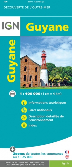
- French Guiana Ign Map 84973
- French Guiana, officially Guyane - the overseas administrative department of France, at 1:400,000 on an indexed map from the IGN, with enlargements showing in greater detail Cayenne and 22 other towns, highlighting for national parks and interesting natural features, etc.The map presents the country’s topography by relief shading for... Read more
- Also available from:
- The Book Depository, United Kingdom
- De Zwerver, Netherlands

De Zwerver
Netherlands
Netherlands
De Zwerver
Netherlands
Netherlands
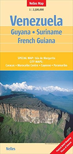
- Wegenkaart - landkaart Venezuela, Guyana, Suriname & Frans Guyana | Nelles Verlag
- Nelles Map Venezuela 1 : 2 500 000 ab 8.9 EURO Guyana - Suriname - French Guiana. Special Map: Isla da Margarita. City Maps: Caracas, Maracaibo Centre, Cayenne, Paramaribo Nelles Map. Neuauflage. Read more

De Zwerver
Netherlands
Netherlands
- Wegenkaart - landkaart Guyana Suriname & French Guiana | ITMB
- Guyana / Suriname & French Guiana 1 : 850 000 ab 10.5 EURO 3rd Edition Read more