
Stanfords
United Kingdom
- Viana do Alentejo
- Topographic survey of Portugal at 1:50,000 from the Instituto Geográfico Português, the country’s civilian survey organisation. The maps have contours at 25m intervals and in addition to the standard features shown on topographic mapping at this scale also indicate various types of vegetation (vineyards, olive groves, etc). Each sheet covers an... Read more

Stanfords
United Kingdom
- Viana do Alentejo
- Topographic survey of Portugal at 1:50,000 from the Instituto Geográfico do Exército, the country’s military survey organisation. The maps have contours at 20m intervals and in addition to the standard features shown on topographic mapping at this scale also indicate various types of terrain or vegetation (sand, terraces, rocks, woodlands,... Read more
De Zwerver
Netherlands
De Zwerver
Netherlands
De Zwerver
Netherlands
De Zwerver
Netherlands

Stanfords
United Kingdom
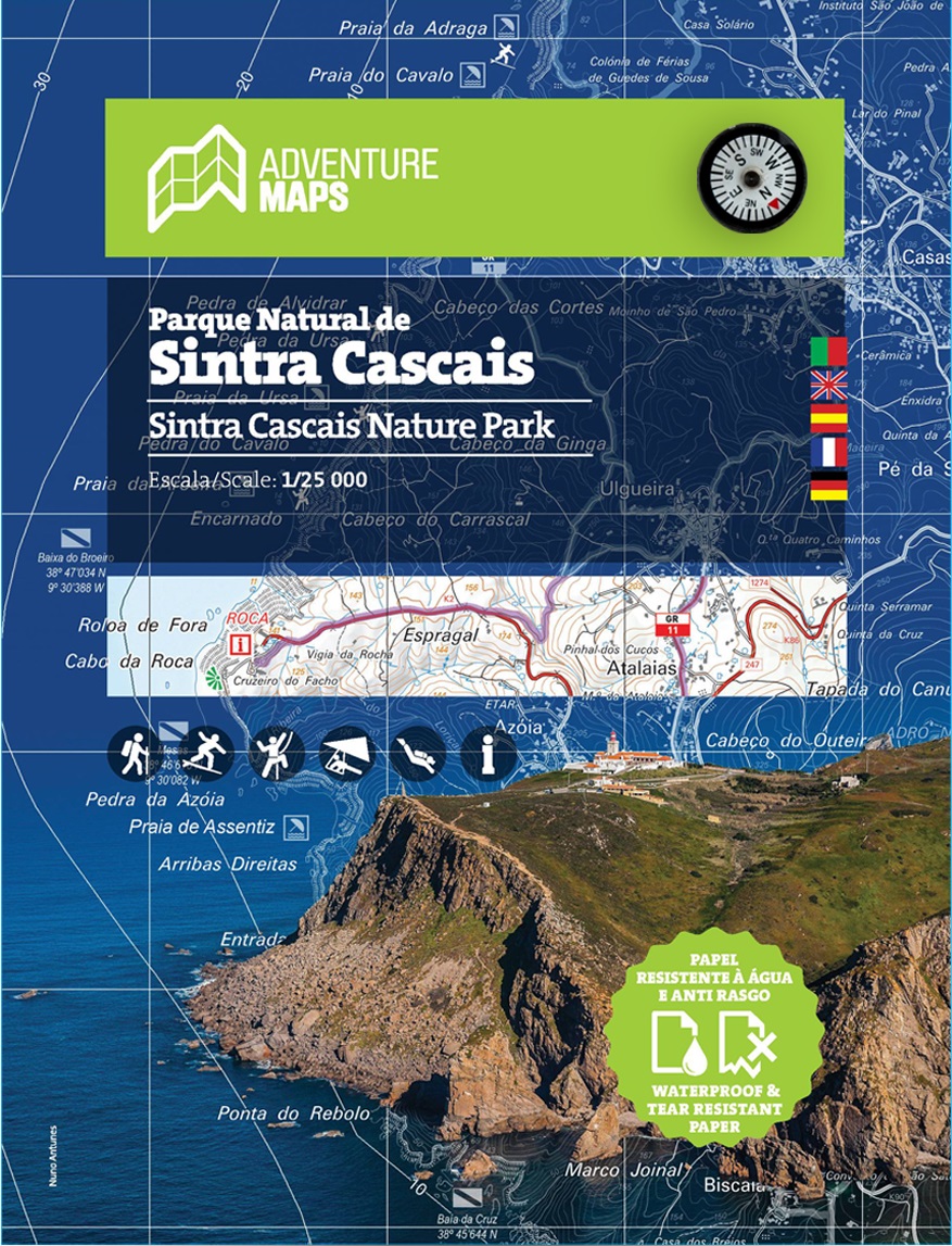
- Sintra Cascais Nature Park
- This hiking and trekking map of the Natural Park of Sintra and Cascais by Adventure Maps is at a scale of 1:25,000. The map legend includes Portuguese, English, Spanish, French and German. The map shows hiking trails and there is relevant tourist information on diving, climbing, surfing, hang gliding, monuments, among others. It is made of... Read more
De Zwerver
Netherlands
- Wandelkaart Parque Natural de Sintra Cascais | Adventure MAPS
- This hiking and trekking map of the Natural Park of Sintra and Cascais by Adventure Maps is at a scale of 1:25,000. It is published in five languages ??(Portuguese, English, Spanish, French and German). It includes hiking trails and relevant tourist information on diving, climbing, surfing, hang gliding, monuments, among others. It is made of... Read more
De Zwerver
Netherlands