De Zwerver
Netherlands
Netherlands
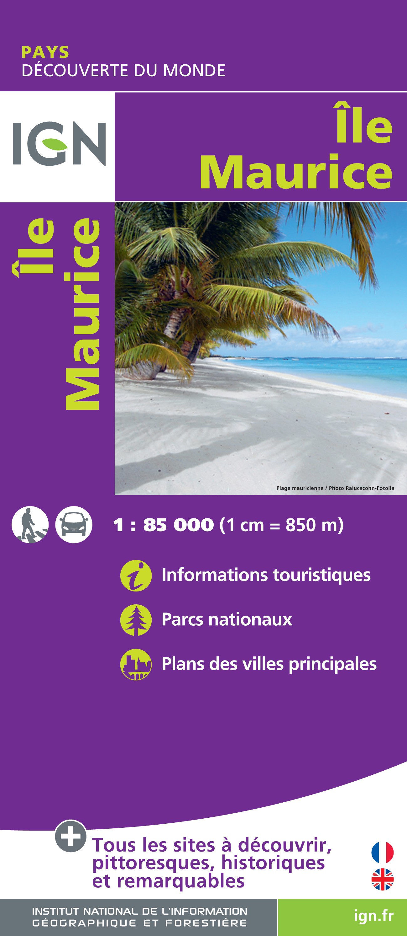
- Wegenkaart - landkaart Mauritius - île Maurice | IGN - Institut Géographique National
- Topographic map of Mauritius at 1:100,000 from the Institut Géographique National, France’s national survey organization, with enlargements at 1:25,000 of Port Louis and Curepipe, plus a climate map of the island.Topography is shown by relief shading with colouring indicating woodlands and sugar cane or tea plantations. In the coastal waters... Read more