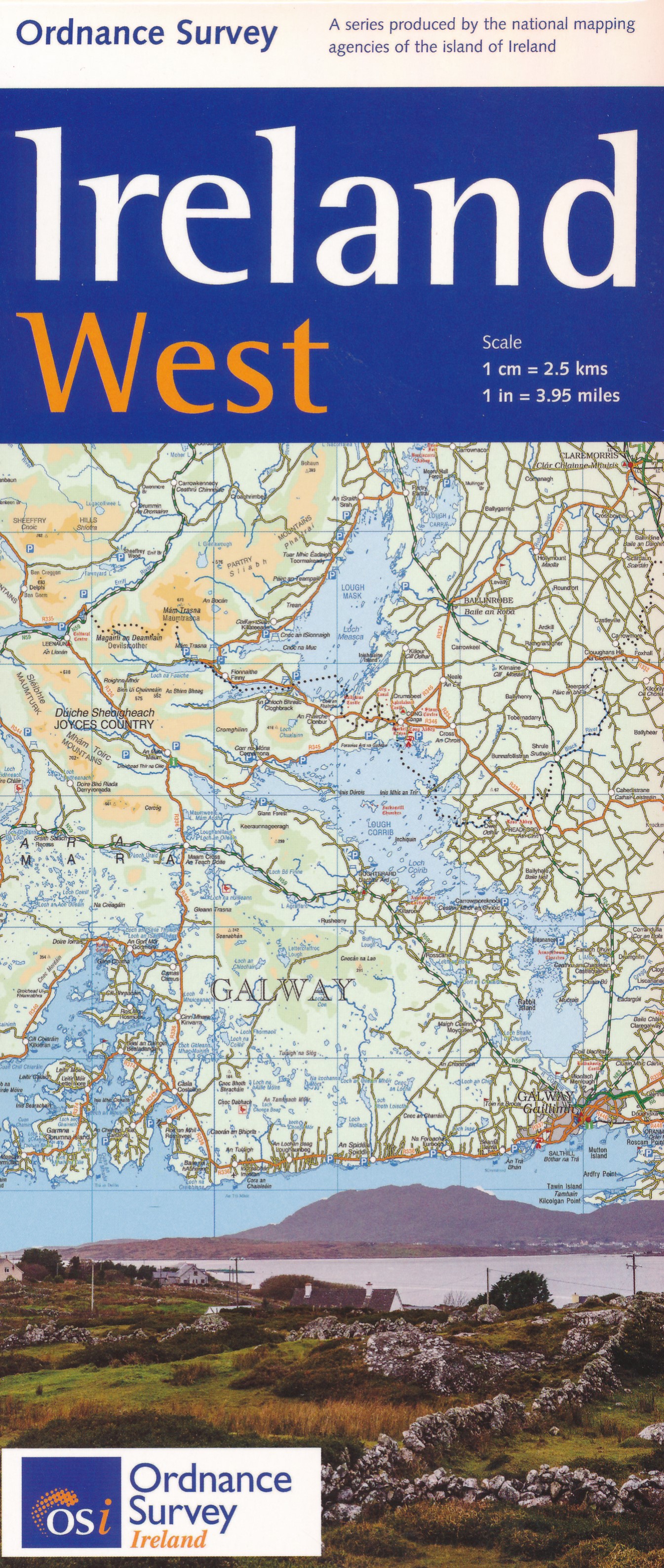
Stanfords
United Kingdom
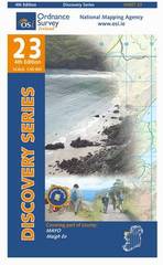
- Mayo OSI Discovery 23
- Map No. 23, Mayo North-Central in the Discovery series from the OSI, the Ordnance Survey of Ireland, which presents the country on detailed topographic maps at 1:50,000, with additional overprint highlighting campsites and caravan parks, youth hostels, etc. Current 4th edition of this title was published in February 2011.Maps in the Discovery... Read more

Stanfords
United Kingdom
- Mayo West-Central OSI Discovery 30
- Map No. 30, Mayo West-Central in the Discovery series from the OSI, the Ordnance Survey of Ireland, which presents the country on detailed topographic maps at 1:50,000, with additional overprint highlighting campsites and caravan parks, youth hostels, etc. Current 4th edition of this title was published in February 2011.Maps in the Discovery... Read more

Stanfords
United Kingdom
- Mayo Central OSI Discovery 31
- Map No. 31, Mayo Central in the Discovery series from the OSI, the Ordnance Survey of Ireland, which presents the country on detailed topographic maps at 1:50,000, with additional overprint highlighting campsites and caravan parks, youth hostels, etc. Current 5th edition of this title was published in 2015.Maps in the Discovery series have... Read more

Stanfords
United Kingdom
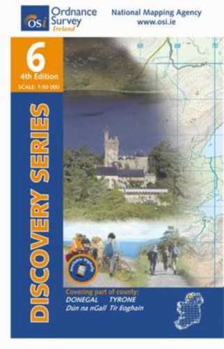
- Donegal - Tyrone OSI Discovery 6
- Map No. 6, Donegal Central in the Discovery series from the OSI, the Ordnance Survey of Ireland, which presents the country on detailed topographic maps at 1:50,000, with additional overprint highlighting campsites and caravan parks, youth hostels, etc. Current 4th edition of this title was publiched in September 2012.Maps in the Discovery... Read more
Stanfords
United Kingdom
- Mayo SW - Galway NW OSI Discover 37
- Map No. 37, Mayo South-West - Galway North-West, in the Discovery series from the OSI, the Ordnance Survey of Ireland, which presents the country on detailed topographic maps at 1:50,000, with additional overprint highlighting campsites and caravan parks, youth hostels, etc. Current 5th edition of this title was published in summer 2015.Maps in... Read more
De Zwerver
Netherlands
De Zwerver
Netherlands

Stanfords
United Kingdom
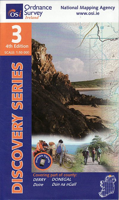
- Donegal NE OSI Discovery 3
- Map No. 3, Donegal North-East in the Discovery series from the OSI, the Ordnance Survey of Ireland, which presents the country on detailed topographic maps at 1:50,000, with additional overprint highlighting campsites and caravan parks, youth hostels, etc. Current 4th edition of this title was published in September 2012.Maps in the Discovery... Read more
De Zwerver
Netherlands

Stanfords
United Kingdom
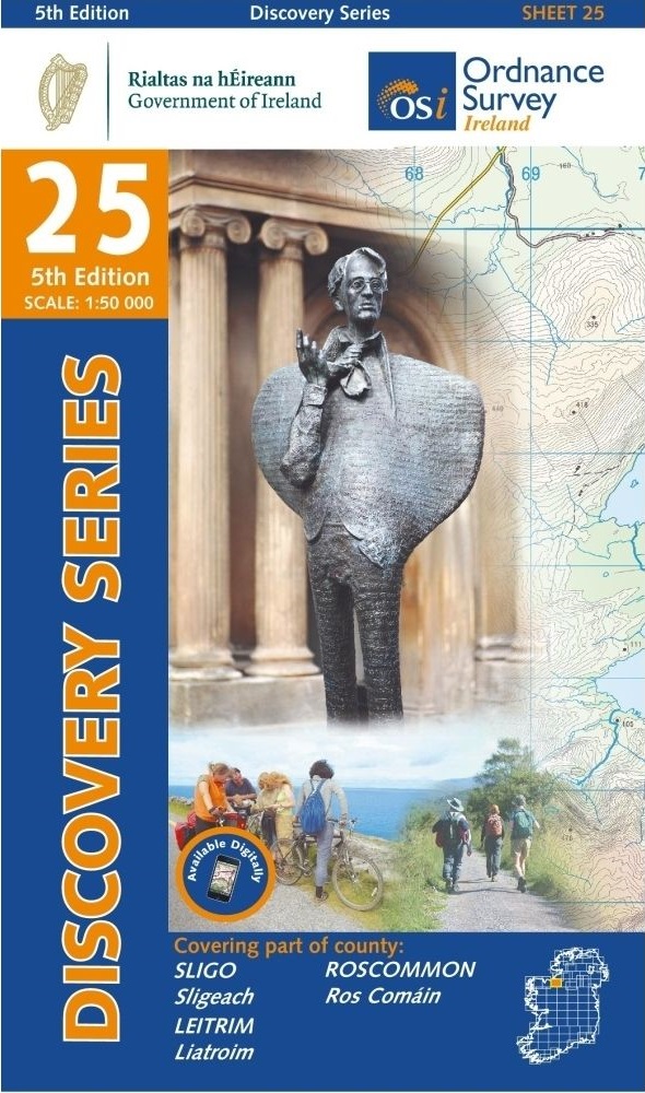
- Sligo - Leitrim - Roscommon OSI Discovery 25
- Map No. 25, Sligo Central in the Discovery series from the OSI, the Ordnance Survey of Ireland, which presents the country on detailed topographic maps at 1:50,000, with additional overprint highlighting campsites and caravan parks, youth hostels, etc. Current 4th edition of this title was published in September 2012.Maps in the Discovery... Read more
De Zwerver
Netherlands
De Zwerver
Netherlands
De Zwerver
Netherlands

Stanfords
United Kingdom
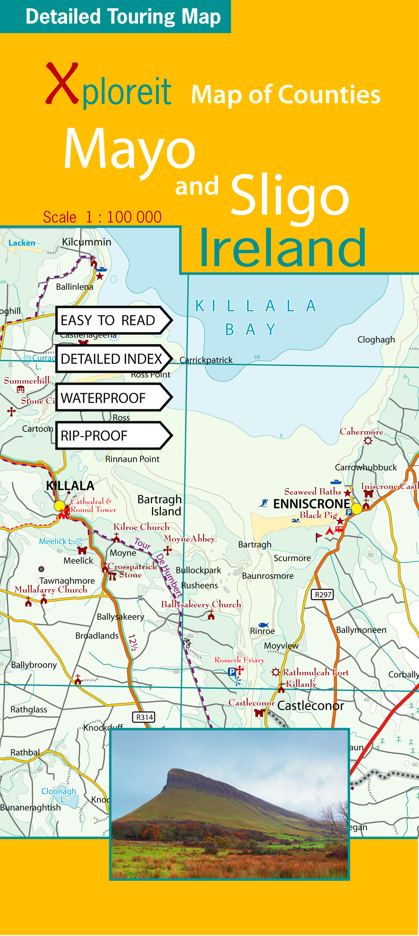
- Mayo and Sligo Xploreit Counties Map
- Counties Mayo and Sligo at 1:100,000 in a series of double-sided, GPS-compatible maps from Xploreit Maps, with contours, altitude colouring, hiking trails and cycling routes, and printed on light, waterproof and tear-resistant plastic paper. Insets show street plans of own centres of Sligo and Westport annotated with places of... Read more

Stanfords
United Kingdom
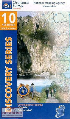
- Donegal SW OSI Discovery 10
- Map No. 10, Donegal South-West in the Discovery series from the OSI, the Ordnance Survey of Ireland, which presents the country on detailed topographic maps at 1:50,000, with additional overprint highlighting campsites and caravan parks, youth hostels, etc.Maps in the Discovery series have contours at 10m intervals, with plenty of spot heights... Read more