Stanfords
United Kingdom
Stanfords
United Kingdom
2019
Stanfords
United Kingdom
Stanfords
United Kingdom
2016
Stanfords
United Kingdom
Stanfords
United Kingdom
2010
Stanfords
United Kingdom
Stanfords
United Kingdom
» Click to open
The Book Depository
United Kingdom
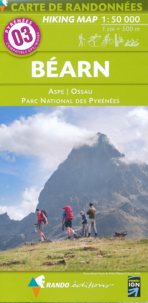
  • Bearn - Aspe - Ossau - Pyrenees NP
  • Uitstekende wandelkaart met veel toeristische informatie en bijzonder gedetailleerd. Wandelroute en hutten / campings zijn ingetekend, met hoogtelijnen. Andere dorpen op deze kaart: Etsaut - Col du Somport - Fabrèges - Col du Pourtalet - la Pierre Saint Martin - Arette - Arudy - Laruns - Arrens Marsous - Argelès Gazost (Frankrijk - Pyreneeen)... Read more
De Zwerver
Netherlands
  • Wandelkaart 03 Béarn - Bearn | Rando Editions
  • Uitstekende wandelkaart met veel toeristische informatie en bijzonder gedetailleerd. Wandelroute en hutten / campings zijn ingetekend, met hoogtelijnen. Andere dorpen op deze kaart: Etsaut - Col du Somport - Fabrèges - Col du Pourtalet - la Pierre Saint Martin - Arette - Arudy - Laruns - Arrens Marsous - Argelès Gazost (Frankrijk - Pyreneeen)... Read more
» Click to close
Stanfords
United Kingdom
» Click to open
The Book Depository
United Kingdom
  • Haut-Jura / Alpes du Nord
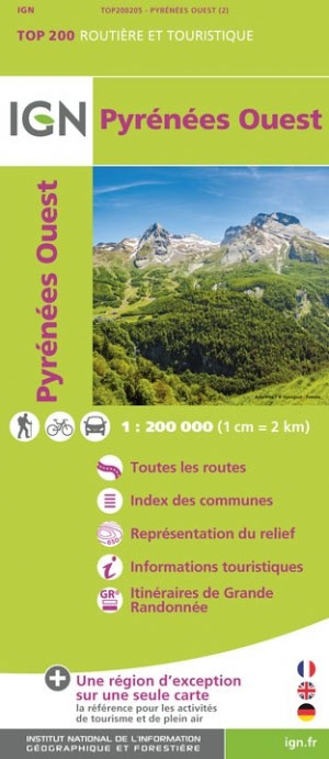
  • Pyrénées Ouest map from the IGN at 1:200,000, with excellent presentation of the terrain through contours and vivid relief shading, plenty of names of topographic features, long-distance GR hiking routes, places of interest, etc. The map is designed to provide convenient coverage of the western and central part of the Pyrenees, extending across... Read more
» Click to close
Stanfords
United Kingdom
» Click to open
The Book Depository
United Kingdom
  • Alpes du Sud
  • Pyrénées Ouest map from the IGN at 1:200,000, with excellent presentation of the terrain through contours and vivid relief shading, plenty of names of topographic features, long-distance GR hiking routes, places of interest, etc. The map is designed to provide convenient coverage of the western and central part of the Pyrenees, extending across... Read more
» Click to close
Stanfords
United Kingdom
» Click to open
The Book Depository
United Kingdom
  • Pyrenees Western
  • Pyrénées Ouest map from the IGN at 1:200,000, with excellent presentation of the terrain through contours and vivid relief shading, plenty of names of topographic features, long-distance GR hiking routes, places of interest, etc. The map is designed to provide convenient coverage of the western and central part of the Pyrenees, extending across... Read more
» Click to close
Stanfords
United Kingdom
» Click to open
The Book Depository
United Kingdom
  • Pyrenees Eastern
  • Pyrénées Ouest map from the IGN at 1:200,000, with excellent presentation of the terrain through contours and vivid relief shading, plenty of names of topographic features, long-distance GR hiking routes, places of interest, etc. The map is designed to provide convenient coverage of the western and central part of the Pyrenees, extending across... Read more
» Click to close
Stanfords
United Kingdom
» Click to open
» Click to close
Stanfords
United Kingdom
» Click to open
De Zwerver
Netherlands
» Click to close
Stanfords
United Kingdom
» Click to open
De Zwerver
Netherlands
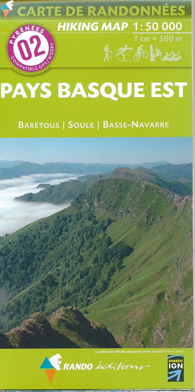
  • Wandelkaart 02 Pays Basque Est | Rando Editions
  • Uitstekende wandelkaart met veel toeristische informatie en bijzonder gedetailleerd. Wandelroutes en GR paden en hutten / campings zijn ingetekend, met hoogtelijnen. Andere dorpen op deze kaart: Arrette - la Pierre St. Martin - St. Jean Pied de Port (Frankrijk - Pyreneeen) Versant français et espagnol : Barétous; Soule, Basse-Navarre, vallée... Read more
» Click to close