Stanfords
United Kingdom
Stanfords
United Kingdom
Stanfords
United Kingdom
2020
» Click to open
The Book Depository
United Kingdom
2020
De Zwerver
Netherlands
2020
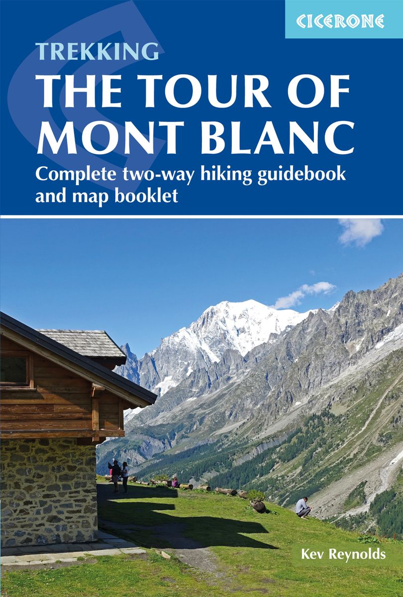
  • Wandelgids Tour of Mont Blanc | Cicerone
  • The Tour of Mont Blanc is one of the world`s classic treks. This guidebook to hiking the 170km TMB contains in-depth route description and mapping for both the classic 11 day anti-clockwise circuit and an alternative 10 day clockwise circuit. This well-signed but demanding route, starting from Les Houches or Champex, is suitable for fit... Read more
» Click to close
Bol.com
Netherlands
» Click to open
Bol.com
Belgium
  • Chamonix Bike Book
  • The Chamonix Bike Book is the only book that shows bikers the best places to ride on this side of the Mont Blanc Massif today. There are mellow cruises and savage climbs, high-octane singletrack and punishing downhills. There is flowy, techy, exhausting, panoramic, windy, foresty, gentle and there's muddy - actually, the only thing these rides... Read more
» Click to close
De Zwerver
Netherlands
Stanfords
United Kingdom
2012
» Click to open
De Zwerver
Netherlands
2012
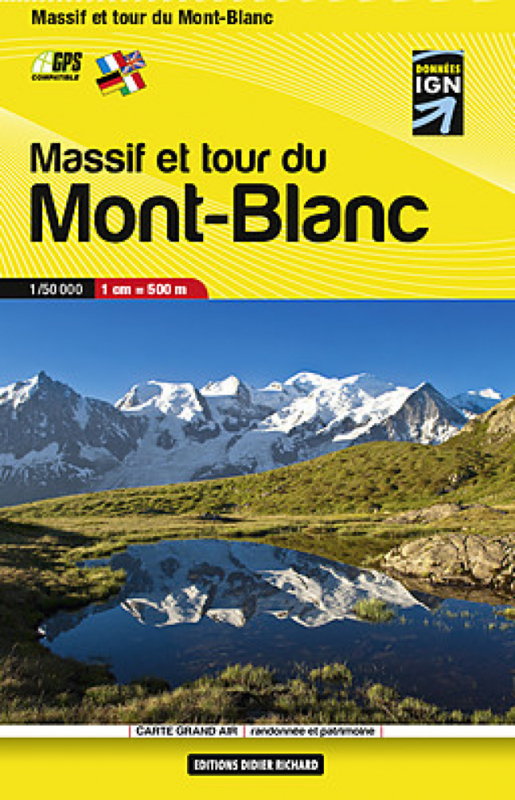
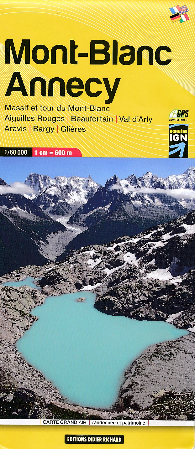
  • Wandelkaart Massif et tour du Mont-Blanc | Didier Richard
  • Mont Blanc Mini Map at 1:50,000 from Editions Didier Richard covering the whole of the Tour of Mont Blanc (TMB) on a double-sided, contoured, GPS compatible hiking map from with both local hiking paths and other long-distance GR routes. The base map, derived from IGN Read more
» Click to close
Stanfords
United Kingdom
2018
» Click to open
De Zwerver
Netherlands
2018
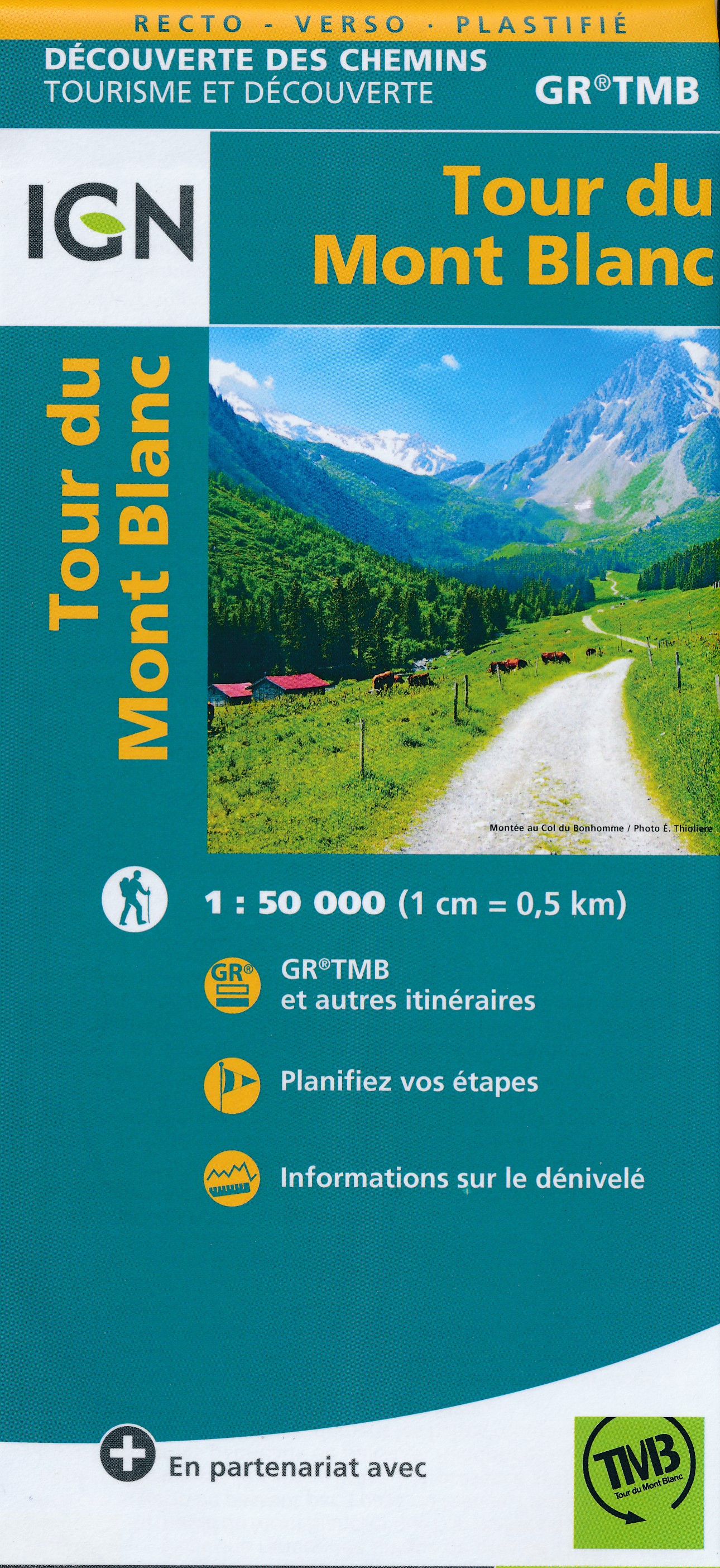
  • Wandelkaart Tour du Mont Blanc | IGN - Institut Géographique National
  • Goede, handzame, tweezijdig bedrukte kaart van de Tour du Mont Blanc Tour (TMB) met hoogte profielen en ingetekende route. 3 landen: Frankrijk, Italië en Zwitserland totale lengte 170 kilometer Inclusief 10.000 meter hoogteverschil Schaal 1: 50.000 (1 cm = 500 m) Een onmisbare hulp bij de voorbereiding van de route: de etappen, accommodaties,... Read more
» Click to close
Stanfords
United Kingdom
» Click to open
De Zwerver
Netherlands
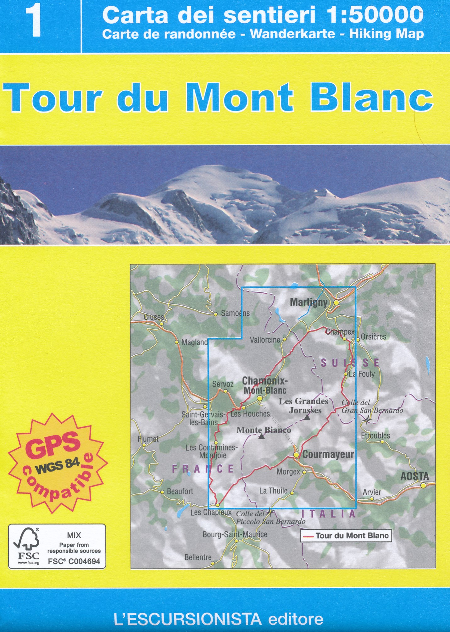
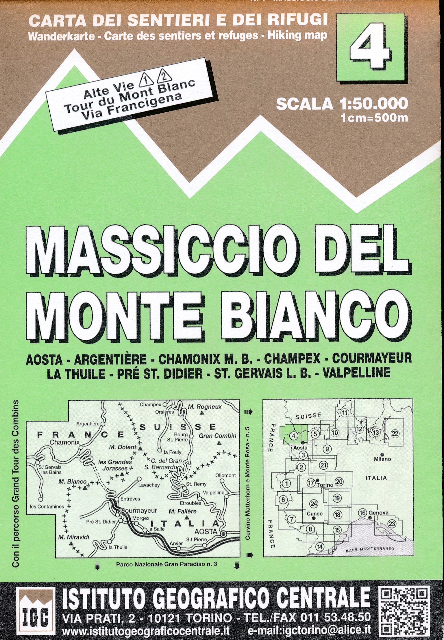
  • Wandelkaart 04 Massiccio del Monte Bianco | IGC - Istituto Geografico Centrale
  • The Mont Blanc Massif in a series contoured hiking maps at 1:50,000 with local trails, long-distance footpaths, mountain accommodation, etc, from the Turin based Istituto Geografico Centrale. This new edition published in late 2013 highlights, among other routes, the Alta Via 1 and the northern section of the Alta Via 2, both of which join up... Read more
» Click to close
Bol.com
Netherlands
» Click to open
Bol.com
Belgium
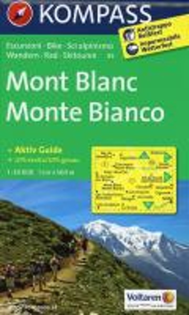
  • Mont Blanc/Monte Bianco WK85
  • reiß- und wetterfestNieuwe editie, met handige app! Deze Kompass wandelkaart, schaal 1:50 000, is ideaal om uw route uit te stippelen en om onderweg te gebruiken • naast de bekende bestemmingen, worden ook de minder bekende vermeld • openbaar vervoer bij begin- of eindpunt van een route aangegeven • eenvoudige wandelingen tot pittige... Read more
» Click to close
Stanfords
United Kingdom
2015
» Click to open
De Zwerver
Netherlands
2015
» Click to close
Stanfords
United Kingdom
» Click to open
De Zwerver
Netherlands
» Click to close