
China
Description

To say China is vast and varied in all respects, is nothing less than an understatement. Climate varies from continental to temperate to subtropical. Landscapes range from relatively low plains and ranges in the east and southeast, to high mountains and plateaus as you move west, culminating in the Tibetan Himalaya and the world's highest: Mount Everest (8848 m). Further to the north and northwest you will encounter merciless deserts like the Gobi and Taklamakan, and more high mountain ranges such as the remote Kunlun, Tianshan and Pamir.
Mighty rivers like the Yangtze (Chang Jiang) and Yellow River (Huang He) flow down from the west through ever more populated areas to find their way into the East and South China Seas. Other famous rivers such as the Mekong (known in China as Lancang), the Brahmaputra and the Indus rivers originate on the Tibetan plateau, and eventually flow south towards the Bay of Bengal and the Indian Ocean. Without exception these rivers have helped create spectacular mountain landscapes, gorges and isolated valleys, making for wonderful hiking and exploring.
Is hiking a popular Chinese passtime? Long distance hiking as such may not be, but pilgrimages up the so-called Sacred Mountains, be it Taoist or Buddhist, definitely are a Chinese favorite. Countless Chinese, old and young alike, are seen scrambling up the slopes of mountains such as Emeishan, Taishan and Huashan. The same goes for mountains famed as inspiration for poets and painters, such as Huangshan. Hiking famous Chinese mountains often means climbing seemingly endless flights of stairs. Be prepared to share the paths with many, many others, and if lucky you are rewarded with breathtaking views.
A challenge popular with foreigners is hiking the Great Wall, usually as a 1- to 7-day hike along more or less intact Great Wall sections near Beijing. Others go for what is considered full length, all the way from Jiayuguan in the west to Laolongtou, the Old Dragon's Head sticking out into the Yellow Sea in the east near Shanhaiguan pass. Completing this full length hike will take you many months, covering a distance of at least 4000 km. With no real provisions for hikers along the way, it requires serious planning and preparation. Not nearly as popular, but a nonetheless interesting venture is retracing the legendary Long March by Mao Zedong and his Red Army. We have included the Great Wall and the Long March under Trails.
Several regions deserve special mention for hiking: the reasonably accessible mountains and valleys of Sichuan and Yunnan provinces, and likewise the minority areas of Guizhou and Guangxi provinces. For the more tough and adventurous: the remote Kunlun and Muztag Ata mountains of Xinjiang province near Kashgar and Kalakuli lake, the Pamir (Congling) mountains in the west of Xinjiang on the border with Kyrgyzstan and Tajikistan, the Tianshan (Heavenly) mountains in the northwest of Xinjiang province, and last but not least: Tibet with it's most famous hike and pilgrimage trail around Mount Kailash, and so much more...
Trails
Regions
Mountains
Links
Facts
Reports
Guides and maps
Lodging
Organisations
Tour operators
GPS
Other
Books

United Kingdom
- Insight Guides Explore Shanghai (Travel Guide with Free eBook)
- INSIGHT GUIDES EXPLORE SHANGHAI Let us guide you on every step of your travels...Focused travel guides featuring the very best routes and itineraries, now with free eBook.Discover the best of Shanghai with this unique travel guide, packed full of insider information and stunning images. From making sure you don`t miss out on must-see, top... Read more

United Kingdom
- Beijing Walks - Exploring the Heritage
- Beijing Walks in the Odyssey Guides series; aimed at travellers particularly interested in the culture and history of their destination; the guides focus on the atmosphere, customs, and distinctive character of a country, region or city. As the only English language publisher based in China, Odyssey Guides specialize in Asian destinations,... Read more
- Also available from:
- The Book Depository, United Kingdom


United Kingdom
2014
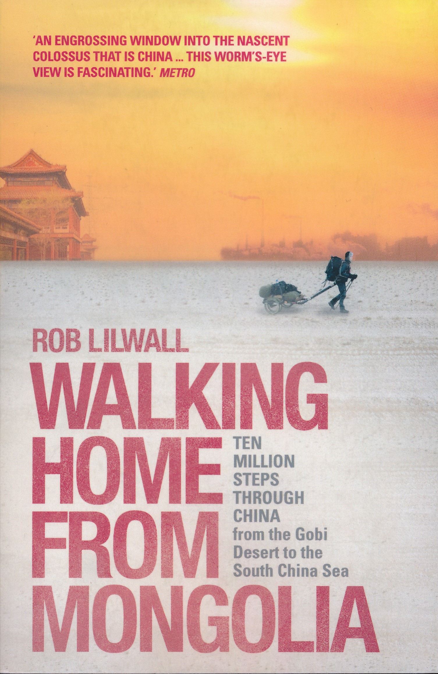
- Walking Home From Mongolia
- Ten Million Steps Through China, From the Gobi Desert to the South China Sea Read more
- Also available from:
- De Zwerver, Netherlands
Netherlands
2014
- Reisverhaal Walking Home From Mongolia | Hodder & Stoughton
- Ten Million Steps Through China, from the Gobi Desert to the South China Sea Read more

- Also available from:
- Bol.com, Netherlands
- Bol.com, Belgium

Netherlands
- Great Sedona Hikes
- The Sedona hiking trail system is constantly changing. Great Sedona Hikes, Third Edition, is the most up-to-date Sedona hiking guide available. And unlike other books printed in China which can result in long delays in incorporating changes, we keep Great Sedona Hikes Third Edition up-to-date by constantly hiking the trails and updating our... Read more
Belgium
- Great Sedona Hikes
- The Sedona hiking trail system is constantly changing. Great Sedona Hikes, Third Edition, is the most up-to-date Sedona hiking guide available. And unlike other books printed in China which can result in long delays in incorporating changes, we keep Great Sedona Hikes Third Edition up-to-date by constantly hiking the trails and updating our... Read more

Netherlands
2017
- Reisgids City Guide Shanghai | Lonely Planet
- De perfecte reisgids voor zowel de georganiseerde als de zelfstandige reiziger. Naast een algemene inleiding van het land / streek vol met praktische informatie over hoe je er het beste kunt reizen: slapen, eten, vervoer, excursies ... alles kun je er in vinden. Shànghǎi: few cities in the world evoke so much history, excess, glamour, mystique... Read more

Netherlands
- Stories on Silk; A Peek Into China
- Here is a taste of China, through popular Chinese folk stories and Suzanna Leigh s photos, sketches, and journal entries. Well written and engaging, this little book provides a peek into China outside the tourist path. Read more
- Also available from:
- Bol.com, Belgium
Belgium
- Stories on Silk; A Peek Into China
- Here is a taste of China, through popular Chinese folk stories and Suzanna Leigh s photos, sketches, and journal entries. Well written and engaging, this little book provides a peek into China outside the tourist path. Read more

Netherlands
- Discover China
- Lonely Planet: The world's leading travel guide publisher Lonely PlanetDiscover China is your passport to the most relevant, up-to-date advice on what to see and skip, and what hidden discoveries await you. Explore the Forbidden City in Beijing, marvel at the Terracotta Warriors in Xi'an, or wander around the pagodas and lilting willows of... Read more
- Also available from:
- Bol.com, Belgium
Belgium
- Discover China
- Lonely Planet: The world's leading travel guide publisher Lonely PlanetDiscover China is your passport to the most relevant, up-to-date advice on what to see and skip, and what hidden discoveries await you. Explore the Forbidden City in Beijing, marvel at the Terracotta Warriors in Xi'an, or wander around the pagodas and lilting willows of... Read more
Netherlands
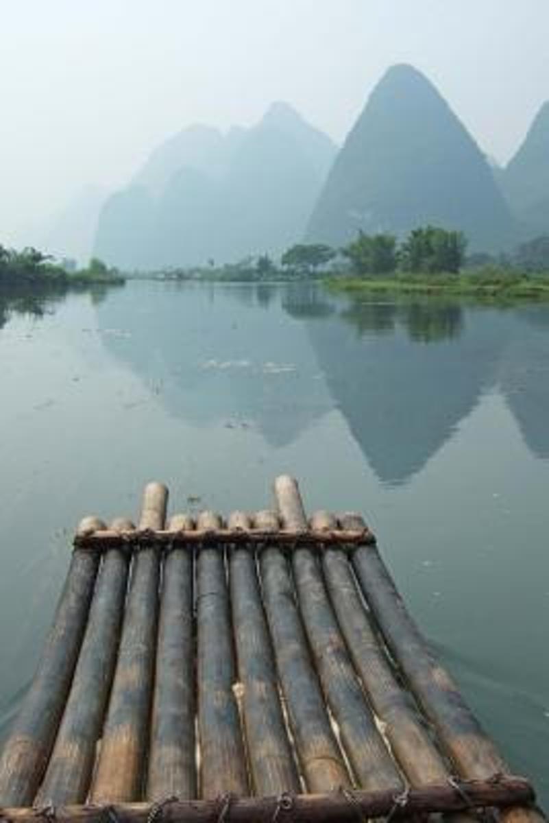
- A Bamboo Raft and Mountain View in Guangxi China Journal
- This journal with 150 ruled pages awaits your writing pleasure. You can use it to record your hopes and dreams, express your gratitude, to keep a bucket list, as a daily diary, or to jot down your To-Do lists. The possibilities are endless and the choice is all yours. Enjoy! Read more
- Also available from:
- Bol.com, Belgium
Belgium
- A Bamboo Raft and Mountain View in Guangxi China Journal
- This journal with 150 ruled pages awaits your writing pleasure. You can use it to record your hopes and dreams, express your gratitude, to keep a bucket list, as a daily diary, or to jot down your To-Do lists. The possibilities are endless and the choice is all yours. Enjoy! Read more
Netherlands
- Panoramic China --- Fujian, Mountain and Maritime Cultures
- Fujian , lying between mountains and sea, is a beautiful, indeed a uniquely favored place. Gulangyu Islet with its rare flowers, winds and sea waves, together witnessed the humiliations of modern China's history. Read more
- Also available from:
- Bol.com, Belgium
Belgium
- Panoramic China --- Fujian, Mountain and Maritime Cultures
- Fujian , lying between mountains and sea, is a beautiful, indeed a uniquely favored place. Gulangyu Islet with its rare flowers, winds and sea waves, together witnessed the humiliations of modern China's history. Read more

Netherlands
- Ten Thousand Miles Without a Cloud
- Ten Thousand Miles Without a Cloud is a beautifully written account of Sun Shuyun’s journey to retrace the steps of one of the most popular figures in Chinese history – the monk Xuanzang, who travelled to India searching for true Buddhism. Xuanzang should be known as one of the world's great heroes. His travels across Asia to bring true... Read more
- Also available from:
- Bol.com, Belgium
Belgium
- Ten Thousand Miles Without a Cloud
- Ten Thousand Miles Without a Cloud is a beautifully written account of Sun Shuyun’s journey to retrace the steps of one of the most popular figures in Chinese history – the monk Xuanzang, who travelled to India searching for true Buddhism. Xuanzang should be known as one of the world's great heroes. His travels across Asia to bring true... Read more
Netherlands
2009
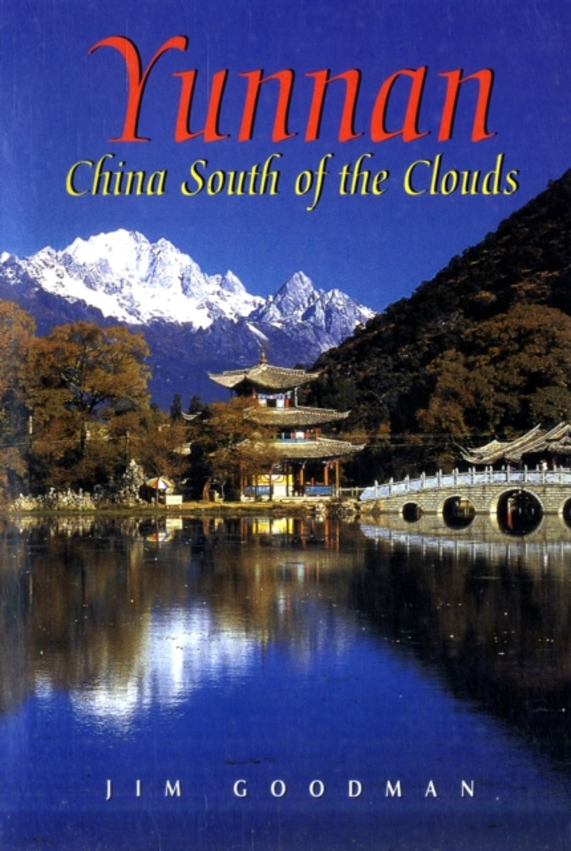
- Yunnan
- Wedged between Tibet and the exotic lands of Southeast Asia, Yunnan Province is one of the least known and most beguiling regions of China. A mountainous wonderland, it is home to 24 diverse, colourful ethnic cultures. With a name meaning 'South of the Clouds', Yunnan boasts sparkling blue skies, red earth and green forests. The picturesque... Read more
- Also available from:
- Bol.com, Belgium
Belgium
2009
- Yunnan
- Wedged between Tibet and the exotic lands of Southeast Asia, Yunnan Province is one of the least known and most beguiling regions of China. A mountainous wonderland, it is home to 24 diverse, colourful ethnic cultures. With a name meaning 'South of the Clouds', Yunnan boasts sparkling blue skies, red earth and green forests. The picturesque... Read more
Netherlands
2019
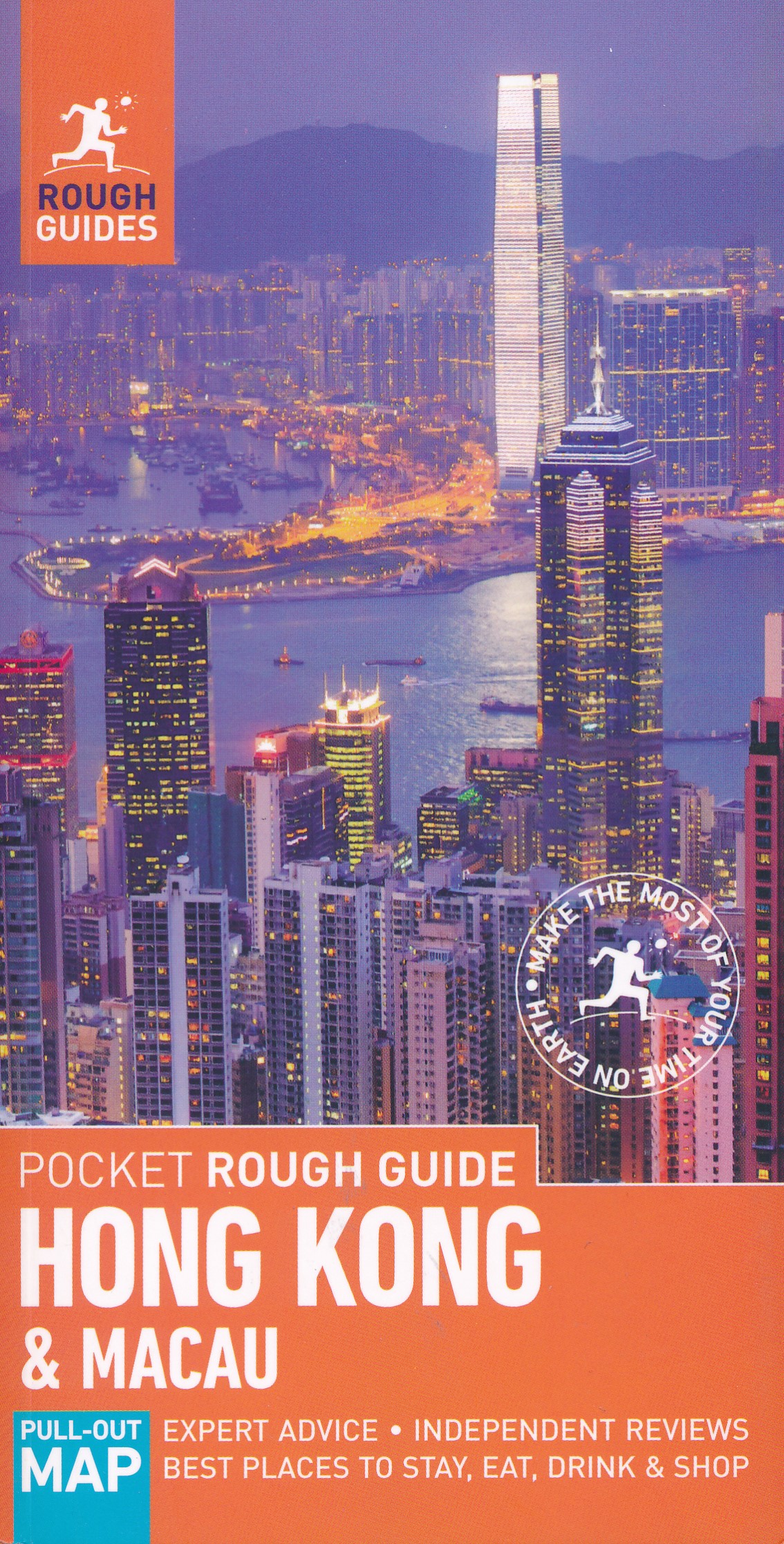
- Reisgids Rough Guide Pocket Hong Kong & Macau | Rough Guides
- Net als de Lonely Planet en Footprint een echte gids voor de rugzakker. Veel info over slapen, vervoer en eten, maar ook aandacht voor algemene aspecten van het land. Voor steden naar onze mening net iets beter dan de Planet! Een kleinere versie in zakformaat van de grotere versies van de Rough Guides. Als altijd weer vol met goede informatie... Read more
Netherlands
- Sacred Places in China
- From the PREFACE.The chief reason for producing this little volume is to give to the thoughtful reader of China and the Chinese a clearer conception of the readiness of the people to accept, with full credence, such whimsical and mythological stories as are here related, of their susceptibility of spiritual influences, and of the decay of... Read more
- Also available from:
- Bol.com, Belgium
Belgium
- Sacred Places in China
- From the PREFACE.The chief reason for producing this little volume is to give to the thoughtful reader of China and the Chinese a clearer conception of the readiness of the people to accept, with full credence, such whimsical and mythological stories as are here related, of their susceptibility of spiritual influences, and of the decay of... Read more

Netherlands
2014
- Natuurgids a Naturalist's guide to the Birds of China | John Beaufoy
- This easy-to-use identification guide to the 280 bird species most commonly seen in Southeast China is perfect for resident and visitor alike. High quality photographs from the region's top nature photographers are accompanied by detailed species descriptions which include nomenclature, size, distribution, habits and habitat. The user-friendly... Read more
Maps

United Kingdom
- Admiralty Routeing Chart 5149(8) - South China Sea - August
- Essential for use in passage planning for ocean voyages, Routeing Charts include routes and distances between major ports, ocean currents, ice limits, load lines and wind roses. They also contain expected meteorological and oceanographic conditions for each month of the year.Individual chart scales of 1:5,000,000, 1:10,000,000 and 1:20,000,000... Read more

United Kingdom
- Admiralty Routeing Chart 5150(4) - East China Sea - April
- Essential for use in passage planning for ocean voyages, Routeing Charts include routes and distances between major ports, ocean currents, ice limits, load lines and wind roses. They also contain expected meteorological and oceanographic conditions for each month of the year.Individual chart scales of 1:5,000,000, 1:10,000,000 and 1:20,000,000... Read more

United Kingdom
- Admiralty Routeing Chart 5150(12) - East China Sea - December
- Essential for use in passage planning for ocean voyages, Routeing Charts include routes and distances between major ports, ocean currents, ice limits, load lines and wind roses. They also contain expected meteorological and oceanographic conditions for each month of the year.Individual chart scales of 1:5,000,000, 1:10,000,000 and 1:20,000,000... Read more

United Kingdom
- Admiralty Routeing Chart 5149(1) - South China Sea - January
- Essential for use in passage planning for ocean voyages, Routeing Charts include routes and distances between major ports, ocean currents, ice limits, load lines and wind roses. They also contain expected meteorological and oceanographic conditions for each month of the year.Individual chart scales of 1:5,000,000, 1:10,000,000 and 1:20,000,000... Read more

United Kingdom
- Admiralty Routeing Chart 5149(9) - South China Sea - September
- Essential for use in passage planning for ocean voyages, Routeing Charts include routes and distances between major ports, ocean currents, ice limits, load lines and wind roses. They also contain expected meteorological and oceanographic conditions for each month of the year.Individual chart scales of 1:5,000,000, 1:10,000,000 and 1:20,000,000... Read more

United Kingdom
- Admiralty Routeing Chart 5150(5) - East China Sea - May
- Essential for use in passage planning for ocean voyages, Routeing Charts include routes and distances between major ports, ocean currents, ice limits, load lines and wind roses. They also contain expected meteorological and oceanographic conditions for each month of the year.Individual chart scales of 1:5,000,000, 1:10,000,000 and 1:20,000,000... Read more

United Kingdom
- Admiralty Routeing Chart 5149(2) - South China Sea - February
- Essential for use in passage planning for ocean voyages, Routeing Charts include routes and distances between major ports, ocean currents, ice limits, load lines and wind roses. They also contain expected meteorological and oceanographic conditions for each month of the year.Individual chart scales of 1:5,000,000, 1:10,000,000 and 1:20,000,000... Read more

United Kingdom
- Admiralty Routeing Chart 5149(10) - South China Sea - October
- Essential for use in passage planning for ocean voyages, Routeing Charts include routes and distances between major ports, ocean currents, ice limits, load lines and wind roses. They also contain expected meteorological and oceanographic conditions for each month of the year.Individual chart scales of 1:5,000,000, 1:10,000,000 and 1:20,000,000... Read more

United Kingdom
- Admiralty Routeing Chart 5150(6) - East China Sea - June
- Essential for use in passage planning for ocean voyages, Routeing Charts include routes and distances between major ports, ocean currents, ice limits, load lines and wind roses. They also contain expected meteorological and oceanographic conditions for each month of the year.Individual chart scales of 1:5,000,000, 1:10,000,000 and 1:20,000,000... Read more

United Kingdom
- Admiralty Routeing Chart 5149(3) - South China Sea - March
- Essential for use in passage planning for ocean voyages, Routeing Charts include routes and distances between major ports, ocean currents, ice limits, load lines and wind roses. They also contain expected meteorological and oceanographic conditions for each month of the year.Individual chart scales of 1:5,000,000, 1:10,000,000 and 1:20,000,000... Read more

United Kingdom
- Admiralty Routeing Chart 5149(11) - South China Sea - November
- Essential for use in passage planning for ocean voyages, Routeing Charts include routes and distances between major ports, ocean currents, ice limits, load lines and wind roses. They also contain expected meteorological and oceanographic conditions for each month of the year.Individual chart scales of 1:5,000,000, 1:10,000,000 and 1:20,000,000... Read more

United Kingdom
- Admiralty Routeing Chart 5150(7) - East China Sea - July
- Essential for use in passage planning for ocean voyages, Routeing Charts include routes and distances between major ports, ocean currents, ice limits, load lines and wind roses. They also contain expected meteorological and oceanographic conditions for each month of the year.Individual chart scales of 1:5,000,000, 1:10,000,000 and 1:20,000,000... Read more

United Kingdom
- Admiralty Routeing Chart 5149(4) - South China Sea - April
- Essential for use in passage planning for ocean voyages, Routeing Charts include routes and distances between major ports, ocean currents, ice limits, load lines and wind roses. They also contain expected meteorological and oceanographic conditions for each month of the year.Individual chart scales of 1:5,000,000, 1:10,000,000 and 1:20,000,000... Read more

United Kingdom
- Admiralty Routeing Chart 5149(12) - South China Sea - December
- Essential for use in passage planning for ocean voyages, Routeing Charts include routes and distances between major ports, ocean currents, ice limits, load lines and wind roses. They also contain expected meteorological and oceanographic conditions for each month of the year.Individual chart scales of 1:5,000,000, 1:10,000,000 and 1:20,000,000... Read more