
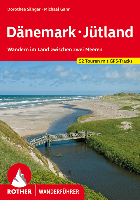
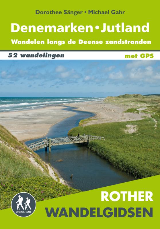
Jylland
Description
Jylland or Jutland is the Danish "mainland", the head that rises up from Germany.
Map


Trails in this region
- Aarhus-SilkeborgGPX
- DrivvejenGPX
- E1GPX
- GendarmstienGPX
- GjerrildbanestienGPX
- Hærvejen - OchsenwegGPX
- HimmerlandsstienGPX
- Hirtshals Circular Trails
- KlosterrutenGPX
- Kyst til Kyst StienGPX
- Lodsstien
- MolsrutenGPX
- Naturstien Horsens-Silkeborg GPX
- Naturstien Nibe-HvalpsundGPX
- NordsøstienGPX
- North Sea TrailGPX
- Trækstien Randers-Silkeborg
- VestkyststienGPX
Links
Facts
Reports
Guides and maps
Lodging
Organisations
Tour operators
GPS
Other
Books

Stanfords
United Kingdom
United Kingdom
- DK Eyewitness Travel Guide Denmark
- Discover Denmark with this essential travel guide, designed to help you create your own unique trip and to transport you to this beautiful country before you`ve even packed your case. Cycle Copenhagen`s picturesque streets, explore the rugged coastline of Bornholm, swig craft beer in Aarhus or follow in the footsteps of Vikings in Viborg and... Read more


Bol.com
Netherlands
Netherlands
- A Tale of Two Trails
- It was the best of trails and the worst of trails. Each year, thousands of hikers from around the world make a pilgrimage to the West Coast Trail: a rough and tumble trail along the coast of Vancouver Island lurking with dangers and difficulties, home to hundreds of shipwrecks and rated as one of the most scenic trails in all of North... Read more
- Also available from:
- Bol.com, Belgium
Bol.com
Belgium
Belgium
- A Tale of Two Trails
- It was the best of trails and the worst of trails. Each year, thousands of hikers from around the world make a pilgrimage to the West Coast Trail: a rough and tumble trail along the coast of Vancouver Island lurking with dangers and difficulties, home to hundreds of shipwrecks and rated as one of the most scenic trails in all of North... Read more
Bol.com
Netherlands
Netherlands
- The West Coast Trail
- This life changing backpacking trip, on the West Coast Trail, begins with a wistful remark in a coffee shop and ends with a book full of belly laughs. The author takes us on the real life journey that challenges every part of himself and then sprinkles his book with enough insight and information to make the reader feel like they are on the... Read more
- Also available from:
- Bol.com, Belgium
Bol.com
Belgium
Belgium
- The West Coast Trail
- This life changing backpacking trip, on the West Coast Trail, begins with a wistful remark in a coffee shop and ends with a book full of belly laughs. The author takes us on the real life journey that challenges every part of himself and then sprinkles his book with enough insight and information to make the reader feel like they are on the... Read more

De Zwerver
Netherlands
2022
Netherlands
2022

De Zwerver
Netherlands
2017
Netherlands
2017
- Wandelgids 411 Kautokeino - Nordkap E1 | Conrad Stein Verlag
- Handzaam boekje met de routebeschrijving inclusief een heleboel praktische informatie. De beschrijving is uitstekend, maar kaarten zijn wat beperkt. Duits. Die 330 km lange Wanderung auf dem E1 von Kautokeino zum Nordkap ist ein unvergessliches Wanderabenteuer. In 15 Etappen laufen Sie durch die Wildnis Nordnorwegens und überqueren die... Read more

Bol.com
Netherlands
Netherlands
- Wad- en WierdenpadL LAW 5 Lauwersoog - Nieuweschans
- Wandelen in het zeekleigebied van Noord-Groningen. Deze wandeling biedt een kennismaking met de vele karakteristieke landschapselementen die herinneren aan de omgang met het water, o.a. dijken, restanten van oude zeegeulen, wierden en sluizen. Het Noord-Groningse landschap is voor wie niet uit deze omgeving komt verrassend. Vergezichten in het... Read more
- Also available from:
- Bol.com, Belgium
Bol.com
Belgium
Belgium
- Wad- en WierdenpadL LAW 5 Lauwersoog - Nieuweschans
- Wandelen in het zeekleigebied van Noord-Groningen. Deze wandeling biedt een kennismaking met de vele karakteristieke landschapselementen die herinneren aan de omgang met het water, o.a. dijken, restanten van oude zeegeulen, wierden en sluizen. Het Noord-Groningse landschap is voor wie niet uit deze omgeving komt verrassend. Vergezichten in het... Read more

Bol.com
Netherlands
Netherlands
- Hiking the West Coast of Vancouver Island
- The rugged west coast of Vancouver Island offers some of the most spectacular and storied hiking in the Pacific Northwest. Home to the world-famous West Coast Trail, once a lifeline for marooned sailors and still among the most breath-taking yet demanding hikes on the continent, the islands western shores also feature lesser-known coastal... Read more
- Also available from:
- Bol.com, Belgium
Bol.com
Belgium
Belgium
- Hiking the West Coast of Vancouver Island
- The rugged west coast of Vancouver Island offers some of the most spectacular and storied hiking in the Pacific Northwest. Home to the world-famous West Coast Trail, once a lifeline for marooned sailors and still among the most breath-taking yet demanding hikes on the continent, the islands western shores also feature lesser-known coastal... Read more

Bol.com
Netherlands
Netherlands
- Walking Distance
- Long-distance walking is good for you and good for the earth... But most of all, walking is a joyful celebration of life and the diverse, beautiful, and curious world in which we live. -from the Introduction Walking is simple, but it can also be profound. In an increasingly complex and frantic world, walking can simplify our lives. It... Read more
- Also available from:
- Bol.com, Belgium
Bol.com
Belgium
Belgium
- Walking Distance
- Long-distance walking is good for you and good for the earth... But most of all, walking is a joyful celebration of life and the diverse, beautiful, and curious world in which we live. -from the Introduction Walking is simple, but it can also be profound. In an increasingly complex and frantic world, walking can simplify our lives. It... Read more
Bol.com
Netherlands
Netherlands
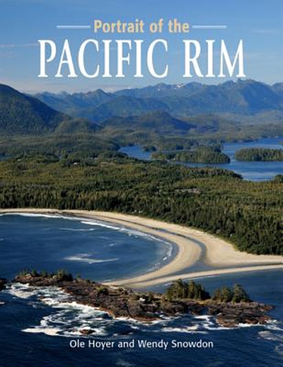
- Portrait of the Pacific Rim
- Portrait of the Pacific Rim is a photographic tour of the awe-inspiring sights and activities on the far edge of Canada. The wild, raw beauty of the Pacific Rim is captured in dozens of colour photographs, as accomplished photographers Ole Hoyer and Wendy Snowdon share some of the gorgeous sights the west coast offers.Pacific Rim National Park... Read more
- Also available from:
- Bol.com, Belgium
Bol.com
Belgium
Belgium
- Portrait of the Pacific Rim
- Portrait of the Pacific Rim is a photographic tour of the awe-inspiring sights and activities on the far edge of Canada. The wild, raw beauty of the Pacific Rim is captured in dozens of colour photographs, as accomplished photographers Ole Hoyer and Wendy Snowdon share some of the gorgeous sights the west coast offers.Pacific Rim National Park... Read more
Maps

Stanfords
United Kingdom
United Kingdom
- Eastern Rhodopes / Rodopi Geopsis 131
- Eastern Rhodopes Mountains on the border of north-eastern Greece and Bulgaria on a waterproof and tear-resistant, contoured and GPS compatible map from Geopsis highlighting nine recommended hiking trails and the local section of the E6 cross-Europe long-distance route. All place names are in both Greek and Latin alphabet, with several villages... Read more

Stanfords
United Kingdom
United Kingdom
- Western Rhodopes / Rodopi - Falakro Geopsis 133
- Central Rhodopes Mountains on the border of north-eastern Greece and Bulgaria on a waterproof and tear-resistant, contoured and GPS compatible map from Geopsis highlighting nine recommended hiking trails and the local section of the E6 cross-Europe long-distance route. All place names are in both Greek and Latin alphabet, with several villages... Read more

Stanfords
United Kingdom
United Kingdom
- Central Rhodopes / Rodopi Geopsis 132
- Central Rhodopes Mountains on the border of north-eastern Greece and Bulgaria on a waterproof and tear-resistant, contoured and GPS compatible map from Geopsis highlighting nine recommended hiking trails and the local section of the E6 cross-Europe long-distance route. All place names are in both Greek and Latin alphabet, with several villages... Read more

Stanfords
United Kingdom
United Kingdom
- Alta Valle del Lamone 22
- Map No. 22, Alta Valle del Lamone: Alto Appennino Faentino – Anello di Marradi, in series of contoured, GPS compatible hiking maps at 1:25,000 from the Istituto Geografico Adriatico, covering mainly the spine of the Apennines along the borders of Tuscany, Emilia-Romagna, Umbria and the Marches.Map in this series have contours at 25m intervals... Read more

Stanfords
United Kingdom
United Kingdom
- Alta Valle del Metauro: Valle del Candigliano, Monte Nerone, Monte Catria
- Map No. 122, Alta Valle del Metauro: Valle del Candigliano, Monte Nerone, Monte Catria, in a series of GPS compatible hiking maps at 1:50,000 from the Istituto Geografico Adriatico, covering parts of central Italy: eastern Tuscany, with northern Umbria and the Marches, plus the south-eastern of part of Emilia-Romagna.The maps have contours at... Read more

Stanfords
United Kingdom
United Kingdom
- Alta Valle del Santerno 23
- Map No. 22, Alta Valle del Lamone: Alto Appennino Faentino – Anello di Marradi, in series of contoured, GPS compatible hiking maps at 1:25,000 from the Istituto Geografico Adriatico, covering mainly the spine of the Apennines along the borders of Tuscany, Emilia-Romagna, Umbria and the Marches.Map in this series have contours at 25m intervals... Read more

Stanfords
United Kingdom
2012
United Kingdom
2012
- Valia Kalda - Vasilitsa Anavasi 6.4
- Pindos: Valia Kalda - Vasilitsa area at 1:50,000in a series of waterproof and tear-resistant hiking maps from Anavasi with a UTM grid for GPS users. The map covers part of the northern Pindus highlands, extending northwards from Metsovo to well beyond Smixi, ski centre on the northern slpes of Mt. Vasilitsa. With Samarina on its western margin... Read more
Stanfords
United Kingdom
United Kingdom
- Colline di Forlí
- Map No. 127, Colline di Forlí, in a series of GPS compatible hiking maps at 1:50,000 from the Istituto Geografico Adriatico, covering parts of central Italy: eastern Tuscany, with northern Umbria and the Marches, plus the south-eastern of part of Emilia-Romagna.The maps have contours at 50m intervals with additional shading and numerous spot... Read more

Stanfords
United Kingdom
United Kingdom
- Istria K+F Outdoor Map
- Istria at 1:75,000 on a double-sided, durable, waterproof and tear-resistant, GPS compatible recreational map from Kümmerly + Frey, with street plans of Pula, Rovinj, Opatija, Umag, Novigrad, Porec and Vrsar. Topography is indicated by contours at 50m intervals, with relief shading and colouring for woodlands. Road network includes small local... Read more

Stanfords
United Kingdom
United Kingdom
- South Jutland Nordisk Cycling Map 7/8
- South Jutland at 1:100,000 on a sturdy, waterproof and tear-resistant cycling map from the Copenhagen-based Nordisk Korthandel, showing Denmark’s national, regional and local cycling routes with numbers, plus locations of campsites and youth hostels, etc. Maps in this series show Denmark’s network of roads, railways and ferry connections on a... Read more
Stanfords
United Kingdom
United Kingdom
- Monte Fumaiolo - Monte Comero 18
- Map No. 18, Monte Fumaiolo - Alto Tevere, in series of contoured, GPS compatible hiking maps at 1:25,000 from the Istituto Geografico Adriatico, covering mainly the spine of the Apennines along the borders of Tuscany, Emilia-Romagna, Umbria and the Marches.Map in this series have contours at 25m intervals with additional shading and numerous... Read more

Stanfords
United Kingdom
United Kingdom
- Monastry Circuit Trail
- The Monastery Trail south of Lukla at 1:100,000 in the Nepa Maps series which provides extensive coverage of trekking areas of Nepal on detailed contoured maps with trekking routes and hiking trails, huts and camp sites, local places of interest and other tourist information.The map covers an area from Namche Bazar southwards along the Dudh... Read more

Stanfords
United Kingdom
United Kingdom
- West Jutland Nordisk Cycling Map 6/8
- West Jutland at 1:100,000 on a sturdy, waterproof and tear-resistant cycling map from the Copenhagen-based Nordisk Korthandel, showing Denmark’s national, regional and local cycling routes with numbers, plus locations of campsites and youth hostels, etc. Maps in this series show Denmark’s network of roads, railways and ferry connections on a... Read more
Stanfords
United Kingdom
United Kingdom
- Bagno di Romagna Monti Editore 19
- Map No. 19, Bagno di Romagna, in series of contoured, GPS compatible hiking maps at 1:25,000 from the Istituto Geografico Adriatico, covering mainly the spine of the Apennines along the borders of Tuscany, Emilia-Romagna, Umbria and the Marches.The maps have contours at 25m intervals with additional shading and numerous Map in this series have... Read more

Stanfords
United Kingdom
United Kingdom
- Funen Cycling Nordisk Map 3/8
- Funen and the nearby islands of Tåsinge, Langeland, Ærø and Als at 1:100,000 on a sturdy, waterproof and tear-resistant, double-sided cycling map from the Copenhagen-based Nordisk Korthandel, showing Denmark`s national, regional and local cycling routes with numbers, plus locations of campsites and youth hostels, etc. Funen with the adjoining... Read more