
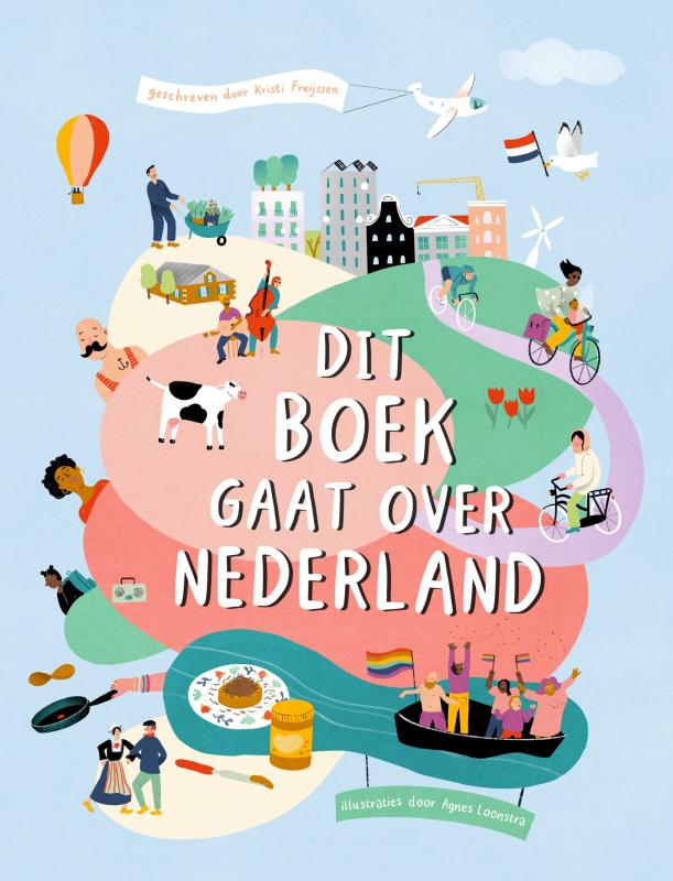
Netherlands
Description

Is hiking possible in the Netherlands? After all, the country is flat as a pancake!
The answer is: Yes. In fact there are over 80 long distance hiking trails crisscrossing the country. The most important are labeled LAW, abbreviation for Lange Afstand Wandelpad (Dutch for Long Distance Hiking Trail). Walking them is a most enjoyable way of exploring Dutch countryside. Meadows grazing cows, sheep and horses, forests, sand dunes and wetlands, and many often centuries old towns along the way. Apart from the LAW's (red-white markings) there are (often) circular regional trails, the SP's (red-yellow markings).
The LAW's and SP's are maintained by Stichting Wandelnet, often in cooperation with the NIVON / Friends of Nature. But there are more organisations marking paths: two sport hiking organisations, the KNBLO (red-blue markings) and the NWB (orange-blue markings). Often, topoguides are issued of these paths. Lastly we must mention the provincial nature conservancy organisations, who set out interesting itineraries for nature lovers.
Recomended LAW's:
- Zuiderzeepad, 400 km, Hollands Golden Age on display.
- Trekvogelpad, 380 km, From West to East, varied trail, gives a good impression of the Netherlands as a whole.
- Maarten van Rossumpad, 308 km, also very varied.
- Wad- en Wierdenpad, 123 km, dykes, polders and vast views in the quiet north east of the country.
- Pieterpad, 492 km, maybe not the most attractive, but by far the most popular trail of the Netherlands.
Best hiking in the Netherlands is in the busy west. The Dutch Green Lung is the big empty space between the main cities The Hague, Amsterdam, Rotterdam and Utrecht. This space, barely known by the Dutch themselves (they rush along in cars), consists of polders, ingenuous waterways, dykes, lakes, and very old villages and farmsteads. The polder landscape can be found in the northern provinces too, or along the river delta. Some patches are very beautiful and you will experience real solitude, others can be boring.
All trails are waymarked, but not always very well. Luckily, there are excellent Dutch guidebooks, with an English section and with maps that show you the correct way. Several LAW's coincide with the European Long Distance Trails E2, E8, E9 and E11.
Enjoying the Netherlands is enjoying the odd encounter with people, villages, buildings, architecture, things happening, and the neat houses and gardens showing off one's high morale. There is also some remoteness in the North and North East. Dutch trails have no difficulties, except the occasional crossing of a busy road or sharing the path with horse-carts and bikers. Keep in mind you're walking on paved roads most of the time, and alternatively grassy, often wet dykes. Therefore, light waterproof shoes are best. Along most routes you will find camping sites, B&B's, shops and public transport in almost every village.
Map


Trails
- Achterhoekpad
- Airbornepad Market GardenGPX
- AlmerepadGPX
- Bevrijdingspad
- Brabants GrensdijkjespadGPX
- Brabants VennenpadGPX
- Brabantse WalGPX
- DeltapadGPX
- Dordtse Waardroute
- Drenthelaarspad
- DrenthepadGPX
- Duin- en PolderpadGPX
- Duinweg Rondwandeling
- E11GPX
- E2GPX
- E8GPX
- E9GPX
- Elfbekenpad
- Elfbergenpad
- Elfwegenpad
- Flevopad
- Floris V-padGPX
- Friese KustpadGPX
- Friese WoudenpadGPX
- Friese Woudweg
- Geert Grootepad
- GR12 - Amsterdam - ParisGPX
- GR122 - ScheldelandGPX
- GR5GPX
- GR561 - Kempen-MaaspadGPX
- GR565 - Renier SniederspadGPX
- Graaf van Hornepad
- GraafschapspadGPX
- GrebbeliniepadGPX
- GrenslandpadGPX
- Groene HartpadGPX
- Groene WisselGPX
- Groot-FrieslandpadGPX
- Grote RivierenpadGPX
- Handelsweg
- HanzestedenpadGPX
- Heerlijkheidspad
- Hertog HendrikpadGPX
- HertogenpadGPX
- Hollands KustpadGPX
- Hunze en Fivelpad
- Hunzepad
- IJsselweg
- JabikspaadGPX
- Jac. Gazenbeekweg
- JacobspadGPX
- Jacobspad LimburgGPX
- Jacobsweg Amstelredam
- Jacobsweg Amsvorde
- Jacobsweg Audenzeel
- Jacobsweg Die Haghe
- Jacobsweg Nieumeghen
- Jacobsweg Thuredrecht
- Jagerspad
- KempenGPX
- Kempen-BroekGPX
- KlompenpadenGPX
- KloosterpadGPX
- Koninklijke WegGPX
- KrijtlandpadGPX
- Kuierpaad Fryslân
- LingepadGPX
- Loop van de Drentsche Aa
- Loop van de Reest
- Loop van het Oude Diep
- Maarten van RossumpadGPX
- Maas- en PeelliniepadGPX
- Maas-NiederrheinpadGPX
- MaasduinenGPX
- MarskramerpadGPX
- Napoleonspad
- Nederlands KustpadGPX
- NoaberpadGPX
- Noord-HollandpadGPX
- North Sea TrailGPX
- NS WandeltochtenGPX
- OeverloperpadGPX
- Omringdijk WandelrouteGPX
- Omringdijkpad
- OosterscheldepadGPX
- Oude IJssel-Rijnpad
- Overijssels HavezatenpadGPX
- Peellandpad
- PelgrimspadGPX
- PieterpadGPX
- PionierspadGPX
- Reggepad & Dinkelpad
- ReynaertlandGPX
- Rijndeltapad
- Romeinse LimespadGPX
- Rondom Berg en Bosch
- Rondom de DomGPX
- Rondom de Groene Bedstee
- Rondom de Sint JanGPX
- Sallandspad
- Santiago de Compostela Pilgrims WayGPX
- ScholtenpadGPX
- Stelling van AmsterdamGPX
- Stichtse Dorpenpad
- Streekpad NijmegenGPX
- TexelpadGPX
- Tielerwaard Wandelroute
- TrekvogelpadGPX
- TwentepadGPX
- UilenspiegelpadGPX
- UtrechtpadGPX
- Van Wad tot IJ
- VechtdalpadGPX
- Veluwe ZwerfpadGPX
- Veluweweg
- Via BrabanticaGPX
- Via MonasticaGPX
- VisserpadGPX
- Wad- en WierdenpadGPX
- Walcherenroute
- WaterliniepadGPX
- Watersnoodpad
- WesterborkpadGPX
- Willebrordus Wandelpad
- WillibrorduswandelpadGPX
- Zuid-Hollandse Polderroute
- Zuid-Limburg Wandelroute
- ZuiderzeepadGPX
Regions
States


Links
Facts
Reports
Guides and maps
Lodging
Organisations
Tour operators
GPS
Other
Books
Netherlands
2007
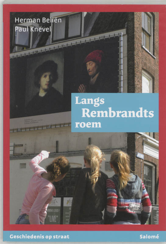
- Reisgids Langs Rembrandts roem | Salome
- Nederland houdt van Rembrandt. In 2006 werd zijn vierhonderdste geboortejaar dan ook met veel feestgedruis en spraakmakende tentoonstellingen herdacht. Toch was dit eerbetoon minder vanzelfsprekend dan velen misschien denken. Rembrandt heeft zijn populariteit pas in de loop van de geschiedenis verworven, dankzij de activiteiten van... Read more
Netherlands
2014
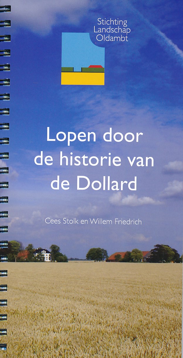
- Wandelgids Lopen door de historie van de Dollard | Stichting Landschap Oldambt
- Wandelen in en om de meest uitgestrekte velden in de buurt van de Dollard en het Oldambt in het oosten van Groningen. Deze vijf routes nemen de wandelaar mee in het weidse land. Hij loopt door de historie van de Dollard. Aan de hand van kaarten van 1902 en 2012 ervaart hij hoe de mens het Oldambt kneedde naar zjin hand. Read more
Netherlands
2018
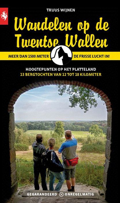
- Wandelgids Wandelen op de Twentse Wallen | Gegarandeerd Onregelmatig
- Zoals iedereen weet is niet alleen Amsterdam ruim bedeeld met wallen. Ook in het oosten van ons land barst het van de wallen. Stuwwallen wel te verstaan. In de voorlaatste ijstijd ontstaan door het voortstuwende ijs. Duidelijk zichtbare plooien en glooien in het landschap zijn het nog steeds zichtbare gevolg. Op de Veluwe en de Sallandse... Read more
Netherlands
2010
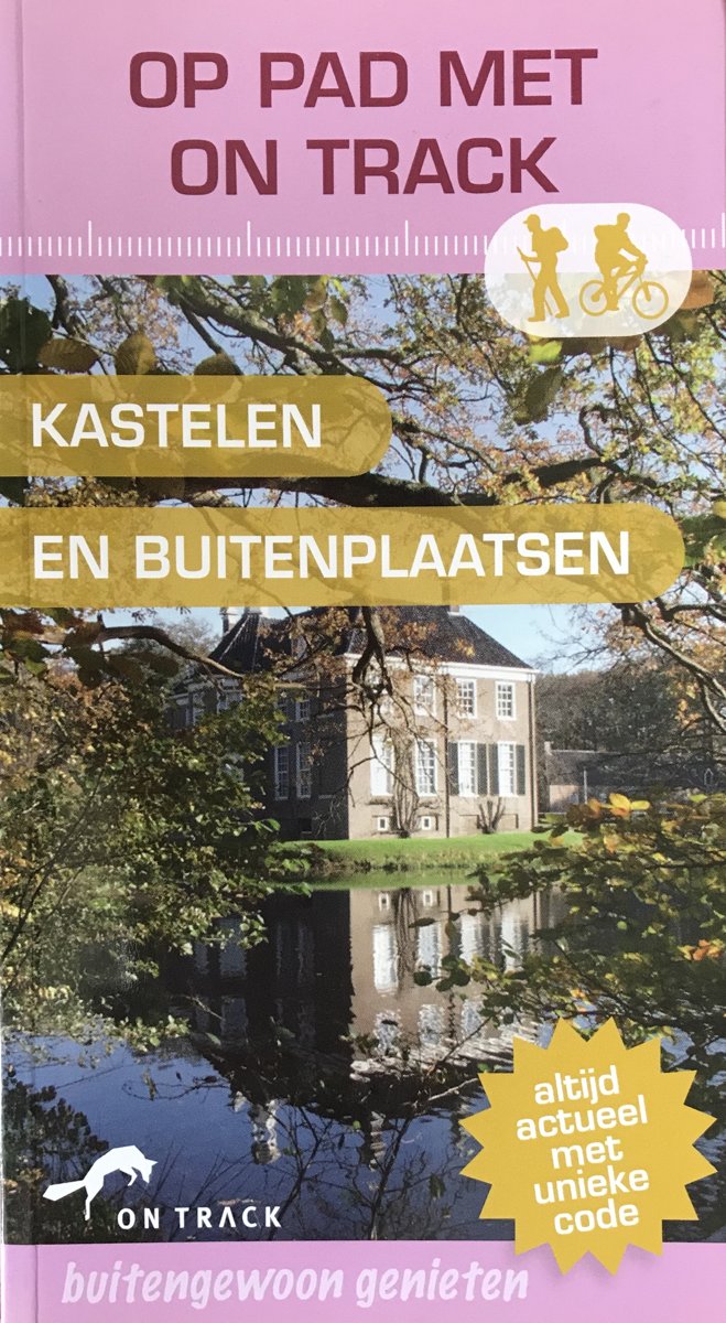
- Op Pad Met On Track Kastelen En Buitenplaatsen
- Op pad met On Track- 14 wandel- en fietsroutes van 9 tot 48 km- gedetailleerde topografische kaarten bij elke route- duidelijke routebeschrijving, punt voor punt beschreven- talrijke natuurweetjes - praktische informatie over het start- en eindpunt, horeca onderweg, wandelen met de hond en bereikbaarheid- gratis inlogcode voor het bekijken en... Read more
- Also available from:
- Bol.com, Belgium
Belgium
2010
- Op Pad Met On Track Kastelen En Buitenplaatsen
- Op pad met On Track- 14 wandel- en fietsroutes van 9 tot 48 km- gedetailleerde topografische kaarten bij elke route- duidelijke routebeschrijving, punt voor punt beschreven- talrijke natuurweetjes - praktische informatie over het start- en eindpunt, horeca onderweg, wandelen met de hond en bereikbaarheid- gratis inlogcode voor het bekijken en... Read more
Netherlands
2015
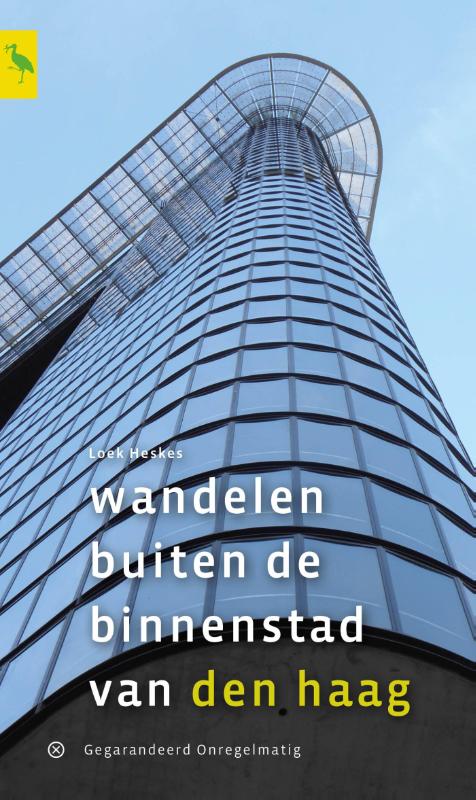
- Wandelgids Wandelen buiten de binnenstad van Den Haag | Gegarandeerd Onregelmatig
- Auteur Loek Heskes en zijn vrouw Irene zullen u in 'Wandelen buiten de binnenstad van Den Haag' al snel verleiden om te gaan wandelen in de Haagse 'buitenstad', die tussen het centrum en het buitengebied gelegen is: de wijken rond het centrum, van Bezuidenhout tot Kijkduin en van Scheveningen tot de Schilderswijk. Al lopend... Read more
Netherlands
2024
Netherlands
2020
Netherlands
2017
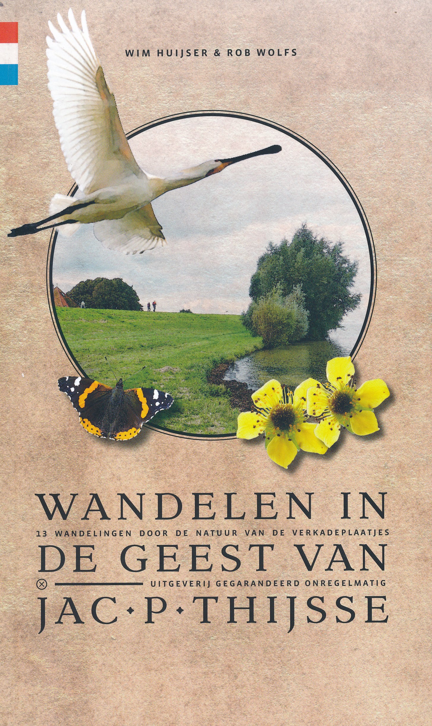
- Wandelgids Wandelen in de geest van Jac. P. Thijsse | Gegarandeerd Onregelmatig
- Er zijn in Nederland niet veel gepassioneerder ambassadeurs voor het wandelen in de natuur geweest dan Jac. P. Thijsse. Met deze wandelgids eren publicist Wim Huijser en routemaker Rob Wolfs de oprichter van Natuurmonumenten in 13 prachtige natuurwandelingen in de streken waarover Thijsse met zoveel enthousiasme schreef. Leidraad voor de... Read more

Netherlands
2016
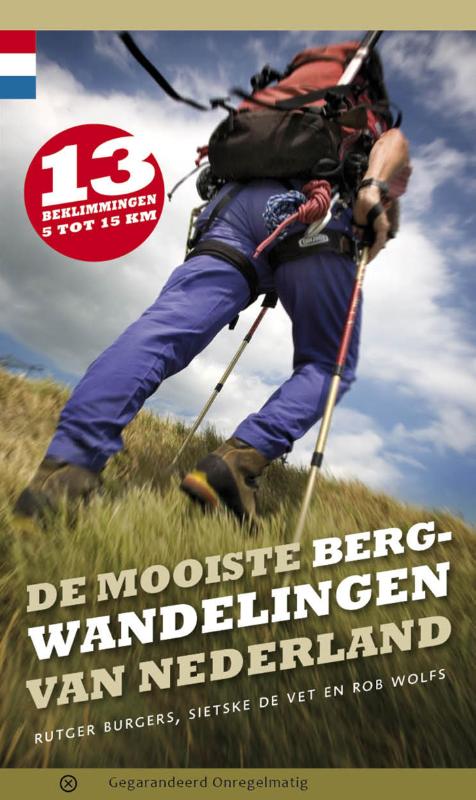
- De mooiste bergwandelingen van Nederland
- Iedereen met een passie voor wandelen in de bergen, kan nu ook in Nederland uit de voeten. Rutger Burgers, Sietske de Vet en Rob Wolfs hebben de mooiste toppen van Nederland beklommen. Prachtige vergezichten en onverwachte kuitenbijters worden afgewisseld door lieflijk glooiende heuvels en steile afdalingen. Uitgangspunt voor de routemakers is... Read more
- Also available from:
- Bol.com, Belgium
- De Zwerver, Netherlands
Belgium
2016
- De mooiste bergwandelingen van Nederland
- Iedereen met een passie voor wandelen in de bergen, kan nu ook in Nederland uit de voeten. Rutger Burgers, Sietske de Vet en Rob Wolfs hebben de mooiste toppen van Nederland beklommen. Prachtige vergezichten en onverwachte kuitenbijters worden afgewisseld door lieflijk glooiende heuvels en steile afdalingen. Uitgangspunt voor de routemakers is... Read more
Netherlands
2016
- Wandelgids De mooiste bergwandelingen van Nederland | Gegarandeerd Onregelmatig
- 13 beklimmingen van 5 tot 15 km Read more
Netherlands
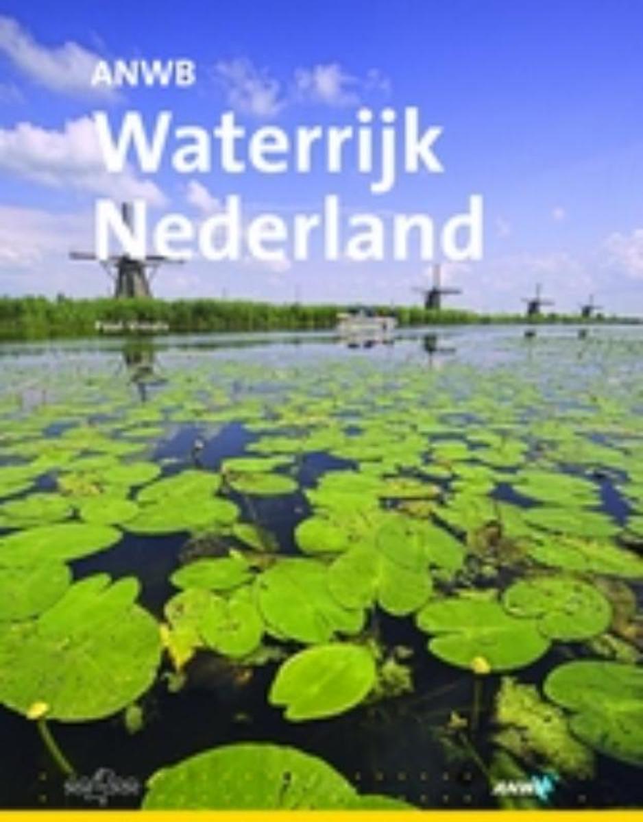
- ANWB Waterrijk Nederland
- Zee, meren, kanalen, rivieren, sloten en grachten: in Nederland zijn ze volop te vinden. Maar hoe belangrijk is water eigenlijk voor Nederland? In het dagelijks leven wordt er nauwelijks bij stilgestaan.Het boek ?Waterrijk Nederland? toont en beschrijft in 160 kleurrijke pagina?s de strijd tegen het water, het land dat gewonnen is op het water... Read more
- Also available from:
- Bol.com, Belgium
Belgium
- ANWB Waterrijk Nederland
- Zee, meren, kanalen, rivieren, sloten en grachten: in Nederland zijn ze volop te vinden. Maar hoe belangrijk is water eigenlijk voor Nederland? In het dagelijks leven wordt er nauwelijks bij stilgestaan.Het boek ?Waterrijk Nederland? toont en beschrijft in 160 kleurrijke pagina?s de strijd tegen het water, het land dat gewonnen is op het water... Read more
Netherlands
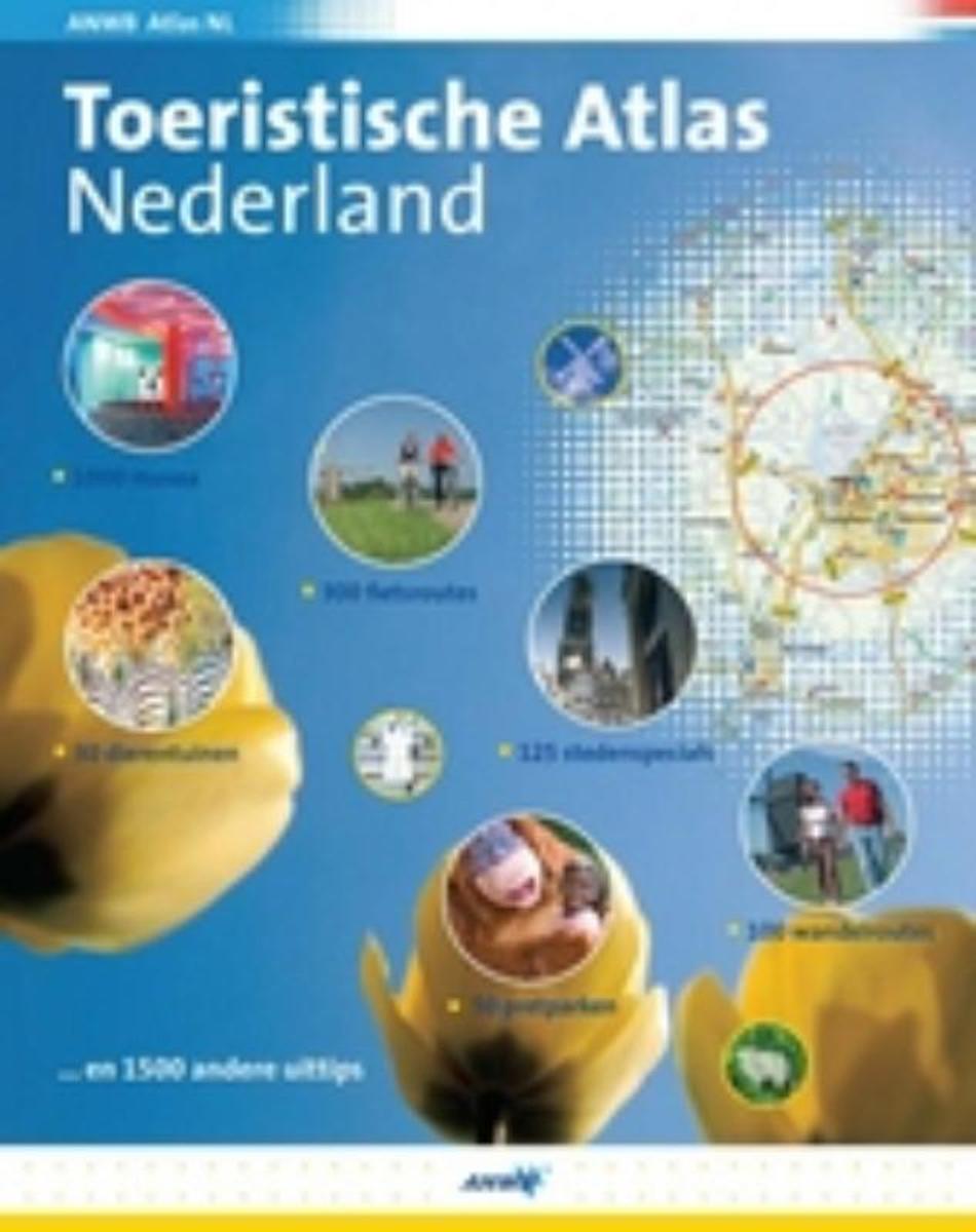
- Toeristische Atlas Nederland
- Toeristische Atlas NederlandAl plannen voor het weekend? Doe leuke idee n op met de Toeristische Atlas van Nederland.Steden, fietsroutes, pretparken, kuuroorden, musea en nog veel meer! De nieuwe Toeristische Atlas van Nederland bevat meer dan 3000 bezienswaardigheden, wandel- en fietsroutes en attracties in Nederland. Laat u verrassen met... Read more
- Also available from:
- Bol.com, Belgium
Belgium
- Toeristische Atlas Nederland
- Toeristische Atlas NederlandAl plannen voor het weekend? Doe leuke idee n op met de Toeristische Atlas van Nederland.Steden, fietsroutes, pretparken, kuuroorden, musea en nog veel meer! De nieuwe Toeristische Atlas van Nederland bevat meer dan 3000 bezienswaardigheden, wandel- en fietsroutes en attracties in Nederland. Laat u verrassen met... Read more
Maps

United Kingdom
2010
- Gelderse Valley
- Gelderse Valley on a waterproof, tear-resistant, GPS compatible walking map at 1:25,000 from Trage Paden, in a series of maps with extensive overprint for long-distance and local walking routes. GPS waypoints and route profiles are available for download from the publisher’s website.Contours used in this map series vary between 2,5 to 5m... Read more

United Kingdom
- Rhine Cycle Route 4 - Cologne to Hoek van Holland Bikeline Map-Guide
- The Rhine Cycle Route Part 4 – a 442-km long section from Cologne to the North Sea presented by Verlag Esterbauer in a guide with maps at 1:75,000 showing the route and its variants. Extensive information is conveyed by symbols, indicating road surface, campsites and other accommodation, repair workshops, recreational facilities, places of... Read more

United Kingdom
- Schouwen Duiveland
- Schouwen Duiveland area of the Netherlands in a series of walking and cycling maps at 1:25,000 – 1:35,000, published by Falk BV in cooperation with Staatsbosbeheer – Dutch government’s organization for forestry and the management of nature reserves.Colouring indicates different types of vegetation or terrain: woodland, pastures, heath or sand... Read more
United Kingdom
- Lauwersmeer
- Lauwersmeer area Friesland in the Netherlands in a series of walking and cycling maps at 1:25,000 – 1:35,000, published by Falk BV in cooperation with Staatsbosbeheer – Dutch government’s organization for forestry and the management of nature reserves.Colouring indicates different types of vegetation or terrain: woodland, pastures, heath or... Read more

United Kingdom
- C30 Harwich to Hoek van Holland and Dover Strait
- Plans included:Dunkerque (1:25 000)Nieuwpoort (1:30 000)Oostende (1:20 000)Blankenberge (1:10 000)Zeebrugge (1:35 000)Breskens (1:12 500)Vlissingen (1:20 000)On this edition the latest wind farm information is included as is the latest depth survey information. Read more

United Kingdom
- Holland Cycling Region Bikeline Map-Guide
- A tour around the Ijsselmeer, plus 15 shorter day tours in the western part of the Netherlands, altogether offering over 1000km of cycle routes presented by the Verlag Esterbauer in guide with maps at 1:75,000 showing the routes and their variants. Extensive information is conveyed by symbols, indicating road surface, campsites and other... Read more

United Kingdom
2010
- The IJssel
- The Ijssel is the first of a series two recreational maps for the Flevoland region.These maps were created to celebrate the 25th anniversary of the province of Flevoland. They are double-sided indexed maps at 1:50,000 scale, featuring a detailed topography with prominent highlighting of the cycle routes and packed with practical tourist... Read more

United Kingdom
- Belgian Coast - Bruges Cycling Map 30
- The coast of Belgium at 1:50,000 in a series from Falk B.V. showing the network of signposted cycling routes on large, double-sided indexed maps with prominent highlighting of long-distance LF routes, symbols indicating accommodation and other tourist services, plus in each title two or more panels with recommended local circuits and additional... Read more
United Kingdom
- De Peel
- De Peel area of the Netherlands in a series of walking and cycling maps at 1:25,000 – 1:35,000, published by Falk BV in cooperation with Staatsbosbeheer – Dutch government’s organization for forestry and the management of nature reserves.Colouring indicates different types of vegetation or terrain: woodland, pastures, heath or sand dunes. Given... Read more

United Kingdom
- North Holland - with Kennemerland Falkplan Cycling Map 13
- North Holland Province of the Netherlands at 1:50,000 in a series from Falk B.V. showing the network of signposted cycling routes on large, double-sided indexed maps with prominent highlighting of long-distance LF routes, symbols indicating accommodation and other tourist services, plus in each title two or more panels with recommended local... Read more

United Kingdom
- Kempenland - de Meijerij Falkplan Cycling Map 18
- Kempenland region of the Netherlands at 1:50,000 in a series from Falk B.V. showing the network of signposted cycling routes on large, double-sided indexed maps with prominent highlighting of long-distance LF routes, symbols indicating accommodation and other tourist services, plus in each title two or more panels with recommended local... Read more
United Kingdom
- De Biesbosch
- De Biesbosch area of the Netherlands in a series of walking and cycling maps at 1:25,000 – 1:35,000, published by Falk BV in cooperation with Staatsbosbeheer – Dutch government’s organization for forestry and the management of nature reserves.Colouring indicates different types of vegetation or terrain: woodland, pastures, heath or sand dunes.... Read more
United Kingdom
- Dunes of the Central Holland 22
- The Dunes of the Central Holland Province of the Netherlands in a series of walking and cycling maps at 1:25,000 – 1:35,000, published by Falk BV in cooperation with Staatsbosbeheer – Dutch government’s organization for forestry and the management of nature reserves.Colouring indicates different types of vegetation or terrain: woodland,... Read more
United Kingdom
- Meinweg - Leudal
- Meinweg - Leudal area of the Netherlands in a series of walking and cycling maps at 1:25,000 – 1:35,000, published by Falk BV in cooperation with Staatsbosbeheer – Dutch government’s organization for forestry and the management of nature reserves.Colouring indicates different types of vegetation or terrain: woodland, pastures, heath or sand... Read more

United Kingdom
- Het Groene Woud
- “Het Groene Woud” map in 1:25,000 belong to a series of eleven walking from Falk, which cover the most beautiful hiking areas in four regions: North Brabant in the south, the tip of North Holland, Friesland and Groningen in the north of the country.“Het Groene Woud” (the green forest) map covers an area of approximately 26 x 16 km in North... Read more