De Zwerver
Netherlands
Netherlands
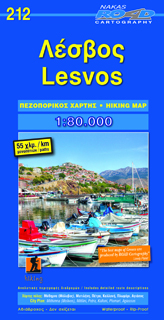
- Wandelkaart 212 Lesbos - Lesvos | Road Editions
- Gedetailleerde wandel- en wegenkaart met aanduiding van de wandelwegen, lijst van hotels en toeristische informatie. Voor alle doeleinden een zeer geschikte kaart. The complete road network, all villages, beaches, touristic sights and many more, clearly presented in a dependable and user-friendly map Read more