Tian Shan
Description
Links
Facts
Reports
Guides and maps
Lodging
Organisations
Tour operators
GPS
Other
Books

Stanfords
United Kingdom
2018
United Kingdom
2018
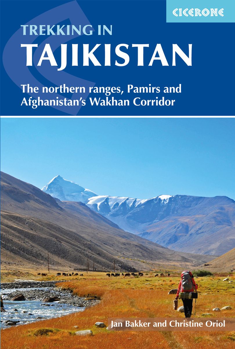
- Trekking in Tajikistan: The northern ranges, Pamirs and Afghanistan`s Wakhan Corridor
- This guide describes twenty high-altitude treks of 2-9 days in the mountains of Tajikistan, covering the Fann Mountains, Pamirs and northern ranges, plus five day hikes near the capital, Dushanbe, and a 10-day trek in the Afghan Wakhan Corridor. As well as detailed route description and 1:100,000 mapping for each trek, there is a wealth of... Read more
- Also available from:
- The Book Depository, United Kingdom
- De Zwerver, Netherlands

The Book Depository
United Kingdom
2018
United Kingdom
2018
- Trekking in Tajikistan
- The northern ranges, Pamirs and Afghanistan's Wakhan Corridor Read more

De Zwerver
Netherlands
2019
Netherlands
2019
- Wandelgids Trekking in Tajikistan - Tadzjikistan | Cicerone
- Guidebook to trekking in Tajikistan and Afghanistan. Contains 21 treks exploring 5 different mountain areas, including the Northern Ranges, Pamir Mountains and Afghanistan's Wakhan Corridor. Also includes a handful of shorter day hikes. With advice on trekking, backpacking equipment, permits and visas, and transport. Read more

Bol.com
Netherlands
Netherlands
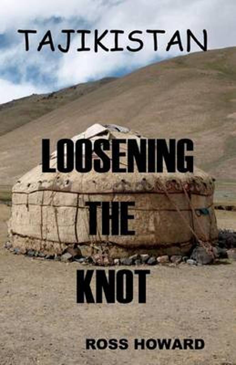
- Tajikistan - Loosening the Knot
- The narrative is of travels through Tajikistan, the poorest country economically in Central Asia. As the Soviet Union disintegrated, the economy collapsed, the people suffered extreme privation and large elements of the country reverted to what became known as a "yak economy".Shortly after the declaration of independence in 1991, the country... Read more
- Also available from:
- Bol.com, Belgium

Bol.com
Belgium
Belgium
- Tajikistan - Loosening the Knot
- The narrative is of travels through Tajikistan, the poorest country economically in Central Asia. As the Soviet Union disintegrated, the economy collapsed, the people suffered extreme privation and large elements of the country reverted to what became known as a "yak economy".Shortly after the declaration of independence in 1991, the country... Read more

Bol.com
Netherlands
2008
Netherlands
2008
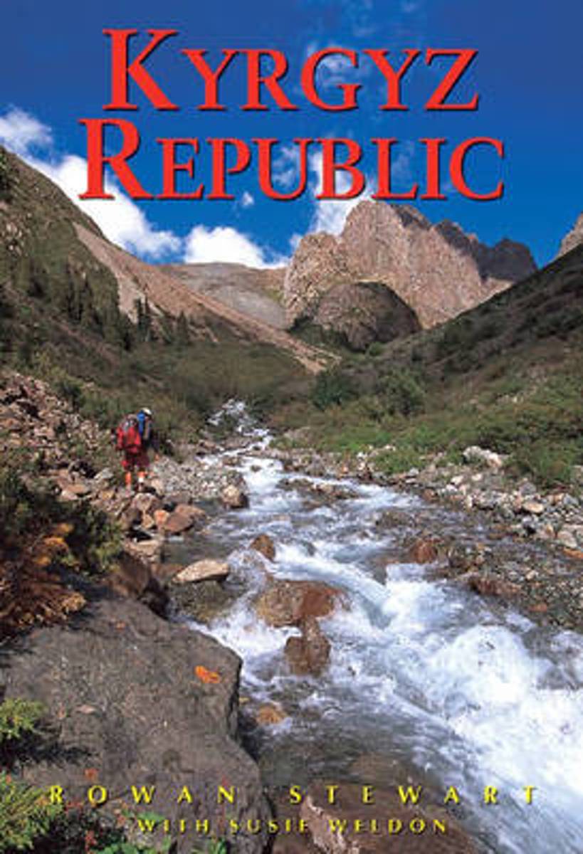
- Kyrgyz Republic
- Stunningly illustrated with a clear overview of historical, cultural and social aspects, this third edition of Odyssey's popular guide to Kyrgyzstan provides fresh information on both southwestern Issyk Kul and northeast Naryn provinces as well as expanded Jalalabad province, Osh and Talas sections (including trekking by foot or horseback in... Read more
- Also available from:
- Bol.com, Belgium
- De Zwerver, Netherlands

Bol.com
Belgium
2008
Belgium
2008
- Kyrgyz Republic
- Stunningly illustrated with a clear overview of historical, cultural and social aspects, this third edition of Odyssey's popular guide to Kyrgyzstan provides fresh information on both southwestern Issyk Kul and northeast Naryn provinces as well as expanded Jalalabad province, Osh and Talas sections (including trekking by foot or horseback in... Read more

De Zwerver
Netherlands
2008
Netherlands
2008
- Reisgids Kyrgyz Republic - Kyrgizië | Odyssey
- Kyrgyz Republic Kyrgyzstan: Heart of Central Asia - Odyssey Publications (Kirgizië/Kirgizstan) De Odyssey reisgids is een degelijke Engelstalige gids met achtergrondinformatie over cultuur en populatie, praktische informatie, hints voor de bezoeker, openbaar vervoer, accommodaties, foto’s en kaarten. This unique and stunningly illustrated book,... Read more
Maps

Stanfords
United Kingdom
United Kingdom
- Kyrgyzstan Climbers Map
- Detailed maps of 3 selected mountainous regions, noted for their appeal to climbers.1:200,000 map of the Karavshin Valley, near the tangled borders of south-eastern Kyrgyzstan and Tijikistan.1:150,000 map of the Western Kokshaal-Too, in the Tien Shan range. (Shown in cartography sample below).1:50,000 map of the Ala-Archa National Park, south... Read more

Stanfords
United Kingdom
United Kingdom
- Tian Shan - Khan Tengri - Pobeda Peak - Lenin Peak terraQuest Trekking Map
- Double-sided, waterproof and tear-resistant, contoured and GPS compatible map from TerraQuest, covering the whole of Kyrgyzstan at 1:1,000,000, with additional panels providing more detailed coverage for trekking at scales between 1:100,000 and 1:125,000 and covering the Karakol region, Ala-Archa, Inylchek area with Jengish Chokusu (Pobeda... Read more

Stanfords
United Kingdom
United Kingdom
- Tian Shan: Karakol - Engilchek Glacier - Jengish Chokusu (Pik Pobedy) - Khan Tengri Goskartografiya Trekking Map
- The easternmost part of Kyrgyzstan, between Lake Issyk-Kul and the Engilchek Glacier, on a contoured and GPS compatible, double-sided topographic map at 1:100,000 from Goskartografiya in Bishkek, with most place names in the Latin alphabet and an English map legend. Coverage extends eastwards from Kyzyl-Suu, the easternmost part of Lake... Read more

