Goldberggruppe
Description
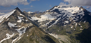
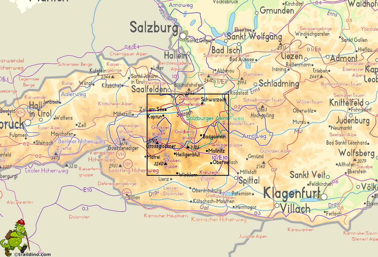
The Goldberggruppe is part of the Hohe Tauern, the main watershed in the Austrian Alps. It lies east of the Glocknergruppe where the Hohe Tauern reaches its highest elevation. The most famous peaks are the Hohe Sonnblick (3.106 m), with an observatory on top, and the Schareck (3.123 m).
The area has 16 peaks above 3.000 m, counts many glaciers and dozens of huts, and is therefore a wonderful hiking area for the experienced mountaineer. Nevertheless, most people when they have time, will head for the Big Names to the west, Grossvenediger and Grossglockner. So, the strategists among us, will understand that we've got a quieter and still challenging mountain range to probe.
Map
Trails in this region
Links
Facts
Reports
Guides and maps
Lodging
Organisations
Tour operators
GPS
Other
Books
De Zwerver
Netherlands
2016
Netherlands
2016
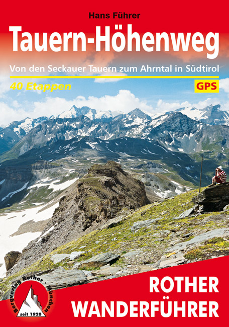
- Wandelgids Tauern-Höhenweg | Rother Bergverlag
- Uitstekende beschrijvingen van deze steeds populairder wordende bergtocht! Met alle noodzakelijke info. Zie voor beschrijving de duitse tekst hieronder ..... Nicht nur im Bann von Großglockner und Großvenediger erstreckt sich auf einer Gesamtlänge von etwa 200 Kilometern der Tauern-Höhenweg, der alle Gebirgsgruppen der Niederen und Hohen Tauern... Read more
De Zwerver
Netherlands
2008
Netherlands
2008
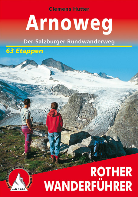
- Wandelgids Arnoweg - Der Salzburger Rundwanderweg | Rother Bergverlag
- Dieser gemeinsam mit dem Tourismusverband SalzburgerLand herausgegebene Wanderführer beschreibt detailliert alle Etappen des erst 1999 aus der Taufe gehobenen Arnowegs. Anlaß für die Errichtung dieses Weitwanderwegs war das 1200jährige Jubiläum der Erzdiözese Salzburg, 798 nämlich wurde Bischof Arno zum Erzbischof dieser großen Kirchenprovinz... Read more
De Zwerver
Netherlands
2013
Netherlands
2013
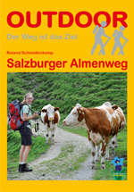
- Wandelgids Salzburger Almenweg | Conrad Stein Verlag
- Der Salzburger Almenweg ist 350 Kilometer lang und führt zum Ausgangspunkt zurück. Meist geht es über Pfade, die mit etwas Kondition und Trittsicherheit von jedem bewältigt werden können, Bergerfahrung ist nicht nötig. In diesem Buch wird jede der 31 Etappen detailliert beschrieben, so dass sich die Nutzer nicht verlaufen können. Unterwegs gibt... Read more
Maps

Stanfords
United Kingdom
United Kingdom
- Mölltal - Kreuzeckgruppe - Drautal F&B WK225
- Mölltal - Kreuzeckgruppe - Drautal area of Carinthia presented at 1:50,000 in a series of contoured and GPS compatible outdoor leisure map from Freytag & Berndt with hiking and cycling routes, mountain huts, campsites and youth hostels, local bus stops, plus other tourist information.To see the list of currently available titles in this series... Read more

Stanfords
United Kingdom
United Kingdom
- Ebermannstadt E10
- Ebermannstadt in a series of GPS compatible recreational editions of the Bavarian topographic survey at 1:25,000, with waymarked hiking trails and cycling routes, campsites and youth hostels, etc. Coverage includes Gößweinstein, Waischenfeld, Wiesenttal, Pottenstein, Pretzfeld, Heiligenstadt i.OFr.Contours used in this map vary between 5 to 20m... Read more

Stanfords
United Kingdom
United Kingdom
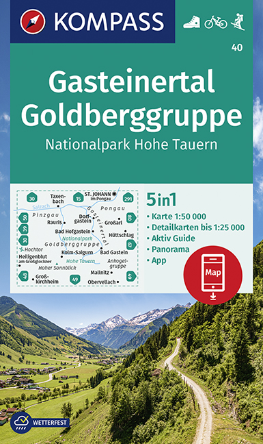
- Gasteinertal - Goldberggruppe - NP Hohe Tauern Kompass 40
- Gasteiner Tal – Goldberggruppe area in a detailed, GPS compatible map at 1:50,000 from Kompass with local and long-distance footpaths, cycling routes, accommodation, etc, printed on durable, waterproof and tear-resistant synthetic paper. The map is centered on the popular resort of Bad Hofgastein and covers part of the Hohe Tauern National... Read more

Stanfords
United Kingdom
United Kingdom
- Kals - Heiligenblut - Matrei - Lienz F&B WK181
- Kals - Heiligenblut - Matrei - Lienz area of the Austrian Alps presented at 1:50,000 in a series of contoured and GPS compatible outdoor leisure map from Freytag & Berndt with hiking and cycling routes, mountain huts, campsites and youth hostels, local bus stops, plus other tourist information.To see the list of currently available titles in... Read more
- Also available from:
- The Book Depository, United Kingdom
- Bol.com, Netherlands
- Bol.com, Belgium

The Book Depository
United Kingdom
United Kingdom
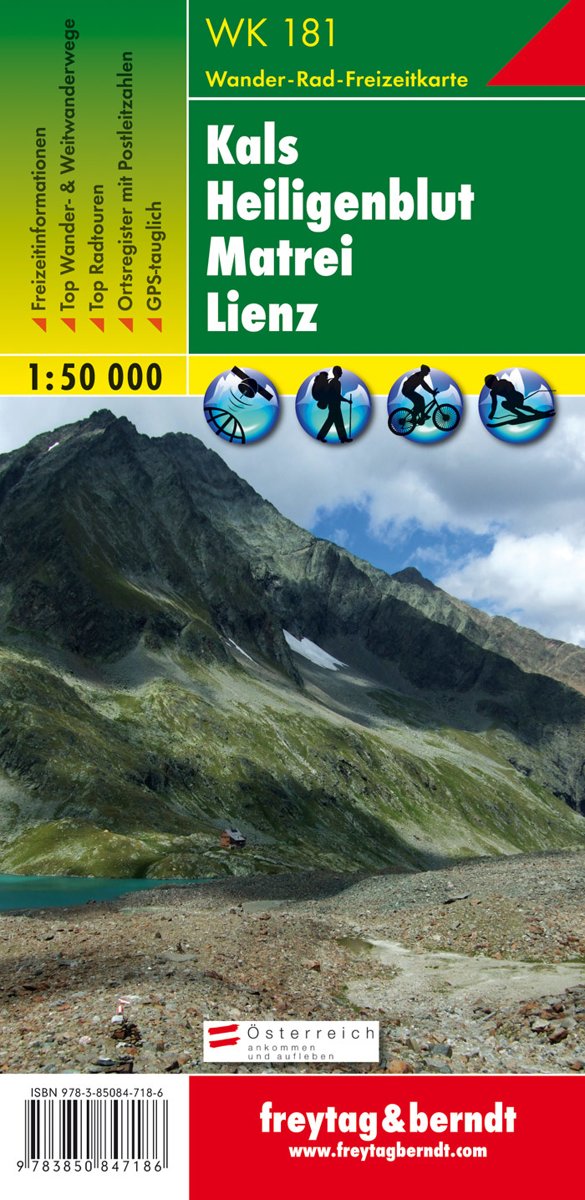
- Kals - Heiligenblut - Matrei - Lienz Hiking + Leisure Map 1:50 000
- Kals - Heiligenblut - Matrei - Lienz area of the Austrian Alps presented at 1:50,000 in a series of contoured and GPS compatible outdoor leisure map from Freytag & Berndt with hiking and cycling routes, mountain huts, campsites and youth hostels, local bus stops, plus other tourist information.To see the list of currently available titles in... Read more
Bol.com
Netherlands
Netherlands
- FB WK181 Kals • Heiligenblut • Matrei • Lienz
- Fiets- en wandelkaart • schaal 1:50 000 • activiteiten gids • plaatsnamenregister met postcodes • fietspaden en mountainbikeroutes • vermelding GPS-punten • met ski- en langlaufroutes Read more

Bol.com
Belgium
Belgium
- FB WK181 Kals • Heiligenblut • Matrei • Lienz
- Fiets- en wandelkaart • schaal 1:50 000 • activiteiten gids • plaatsnamenregister met postcodes • fietspaden en mountainbikeroutes • vermelding GPS-punten • met ski- en langlaufroutes Read more

Stanfords
United Kingdom
United Kingdom
- Bregenz Forest F&B WK364
- Bregenz - Bregenzerwald area of the Austrian Alps presented at 1:50,000 in a series of contoured and GPS compatible outdoor leisure map from Freytag & Berndt with hiking and cycling routes, mountain huts, campsites and youth hostels, local bus stops, plus other tourist information. To see the list of currently available titles in this series... Read more
- Also available from:
- The Book Depository, United Kingdom
- Bol.com, Netherlands
- Bol.com, Belgium

The Book Depository
United Kingdom
United Kingdom
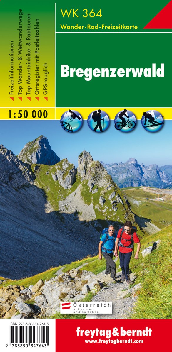
- Bregenz Forest Hiking + Leisure Map 1:50 000
- Bregenz - Bregenzerwald area of the Austrian Alps presented at 1:50,000 in a series of contoured and GPS compatible outdoor leisure map from Freytag & Berndt with hiking and cycling routes, mountain huts, campsites and youth hostels, local bus stops, plus other tourist information. To see the list of currently available titles in this series... Read more
Bol.com
Netherlands
Netherlands
- FB WK364 Bregenzerwald
- Aufgrund der übersichtlichen und detailgetreuen, digitalen Kartographie sowie der ideal gewählten Maßstäbe sind freytag & berndt Wanderkarten der perfekte Begleiter beim Wandern und Bergsteigen. Sie werden regelmäßig überarbeitet und enthalten aktualisierte Informationen zu Wanderwegen, Rad- und Mountainbikestrecken, Hütten, Naturdenkmälern,... Read more

Bol.com
Belgium
Belgium
- FB WK364 Bregenzerwald
- Aufgrund der übersichtlichen und detailgetreuen, digitalen Kartographie sowie der ideal gewählten Maßstäbe sind freytag & berndt Wanderkarten der perfekte Begleiter beim Wandern und Bergsteigen. Sie werden regelmäßig überarbeitet und enthalten aktualisierte Informationen zu Wanderwegen, Rad- und Mountainbikestrecken, Hütten, Naturdenkmälern,... Read more
More maps…


