Uilenspiegelpad
Description
- Name Uilenspiegelpad
- Length of trail 200 km, 124 miles
- Length in days 10 days
- Start of trail Brugge
- End of trail Brugge
- Traildino grading LW, Light walk, countryside walk


U
Another delightful historic figure was Tijl Uilenspiegel, our everlasting heroe, who challenged and teased the local authorities of his time. In the 19th century a novel was written about this mediaevel figure, in which he finally got caught and sentenced to death, probably in line with the morale of that time. We however can visit all the little villages made unsafe by Uilenspiegel in the border area of Holland and Belgium, and think about him as a living creature making fun of our contemporary authorities. There is no guide for this trail, but it is marked in the field and you will find a GPS download in the links section.
Links
Facts
Reports
Guides and maps
Lodging
Organisations
Tour operators
GPS
Other
Maps

De Zwerver
Netherlands
Netherlands
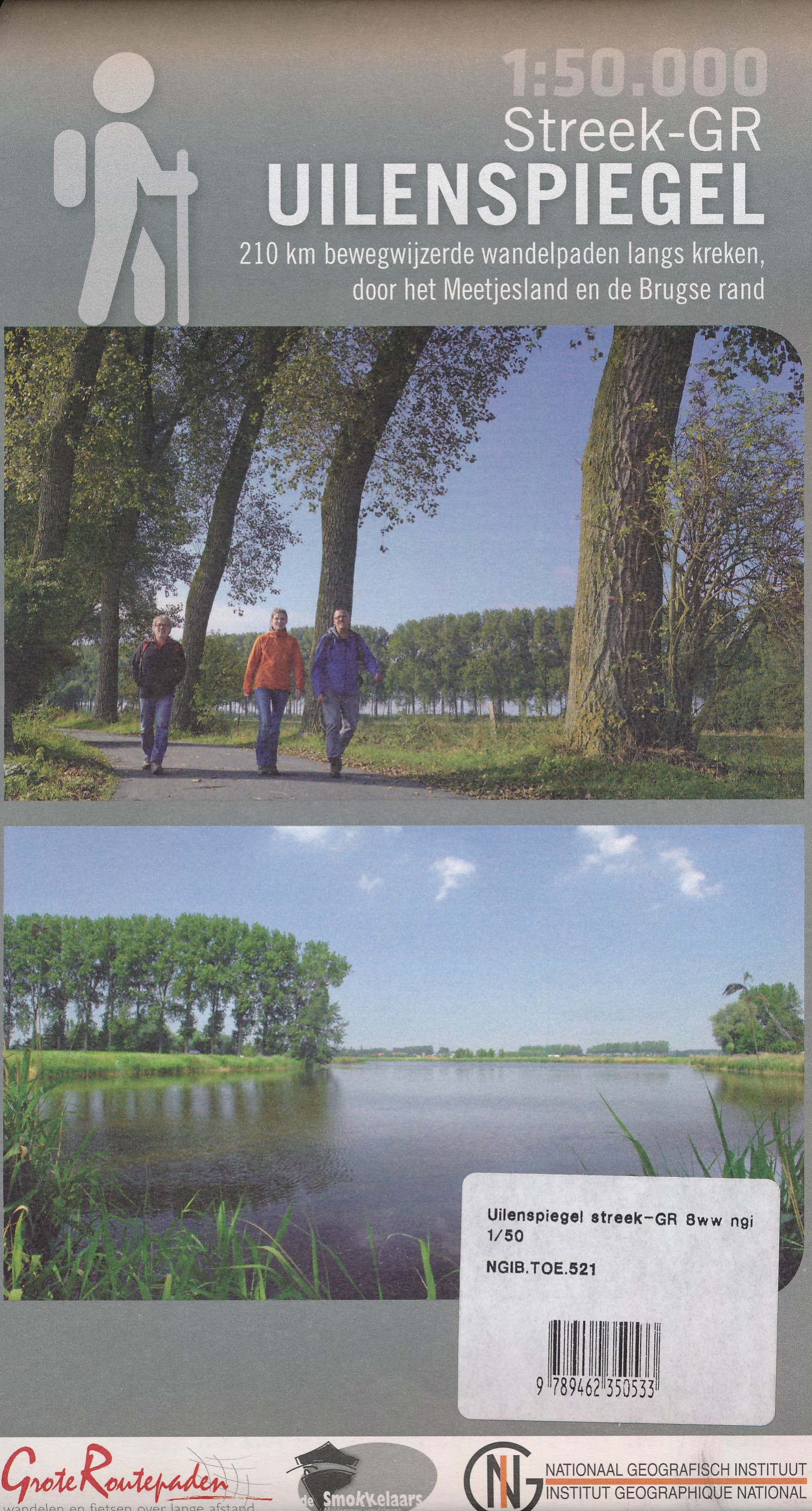
- Wandelkaart 521 Streek GR Uilenspiegel GR 8 | NGI - Nationaal Geografisch Instituut
- Omvat: de gemeentes Damme, Het Zwin, Sluis, Oostburg en Terneuzen, Meetjesland, de Lembeekse bossen, provinciaal domein Het Leen & het Drongengoedbos Productomschrijving: Het Nationaal Geografisch Instituut publiceert ook toeristische kaarten, in samenwerking met lokale overheden, VVV-kantoren en andere verenigingen. Deze kaarten zijn ontworpen... Read more


