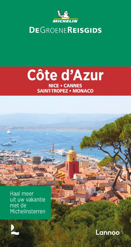
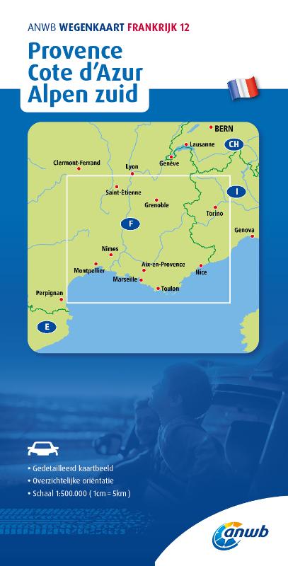
Côte d'Azur
Description
Links
Facts
Reports
Guides and maps
Lodging
Organisations
Tour operators
GPS
Other
Books

Stanfords
United Kingdom
2015
United Kingdom
2015
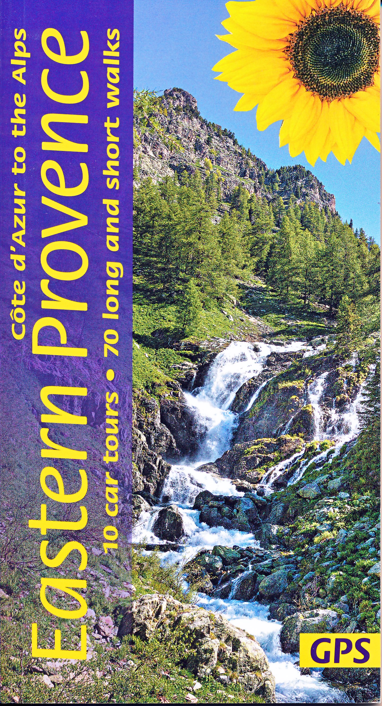
- Eastern Provence: Côte d’Azur to the Alps Sunflower Landscape Guide
- This guide, half of a two-volume set, is intended for motorists who want to tour eastern Provence and the Cote d`Azur by car and enjoy some superb walks en route. The drives have been described in such detail that there is no need to make constant reference to a map. The walks selected - all set in areas of great natural beauty and historical... Read more

Stanfords
United Kingdom
United Kingdom
- Le Lavandou - Parc National de Port Cros - Corniche des Maures IGN 3446ET
- Topographic survey of France at 1:25,000 in IGN`s excellent TOP25 / Série Bleue series. All the maps are GPS compatible, with a 1km UTM grid plus latitude and longitude lines at 5’ intervals. Contours are at 5m intervals except for mountainous areas where the maps have contours at 10m intervals, vividly enhanced by hill shading and graphics for... Read more

The Book Depository
United Kingdom
United Kingdom
- Cote d'Azur walking guide
- The Finest Valley and Mountain Walks - ROTH.E4817 Read more
Bol.com
Netherlands
Netherlands
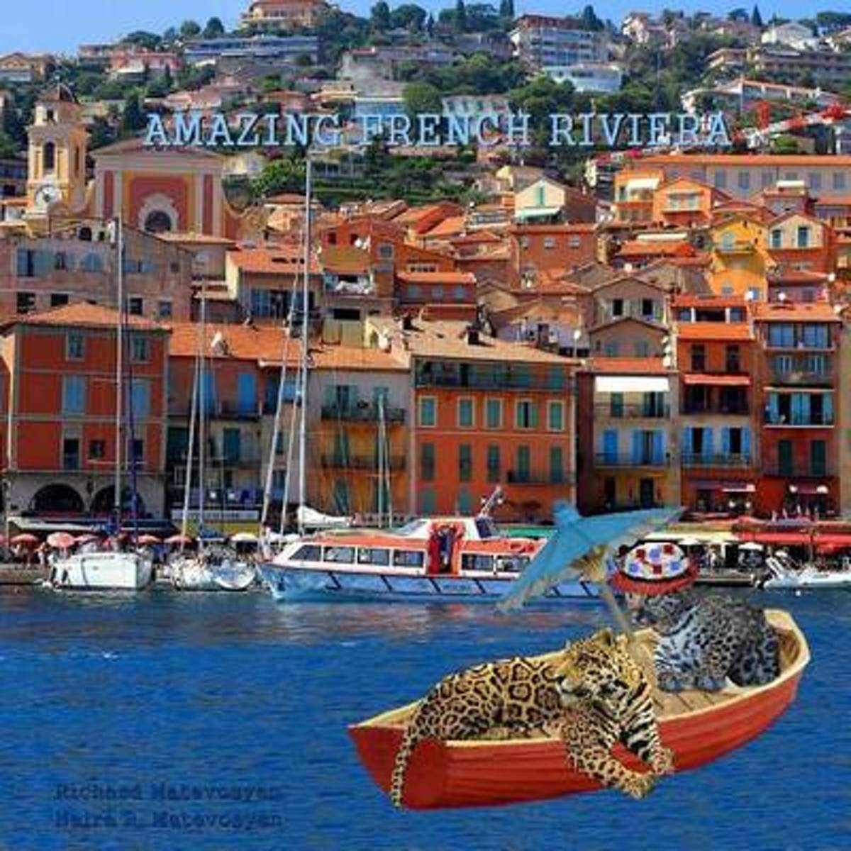
- Amazing French Riviera
- Just like a celebrity has the strongest bones, Cote d'Azur loves to show itself off. Take the advantage with February strolls through these gorgeous seaside, hillside, and perennial playground of riches, regard a voyage with the tour-mates, father jaguar and the cub. Walk on the red carpet at Palais de Festivals in Cannes, walk down the... Read more
- Also available from:
- Bol.com, Belgium
Bol.com
Belgium
Belgium
- Amazing French Riviera
- Just like a celebrity has the strongest bones, Cote d'Azur loves to show itself off. Take the advantage with February strolls through these gorgeous seaside, hillside, and perennial playground of riches, regard a voyage with the tour-mates, father jaguar and the cub. Walk on the red carpet at Palais de Festivals in Cannes, walk down the... Read more

Stanfords
United Kingdom
United Kingdom
- Eastern Provence Guide - Cote D`Azur to the Alps: 70 long and short walks with detailed maps and GPS; 10 car tours with pull-out map
- The go-to Eastern Provence travel guide for over 30 years. Strap on your boots and discover Eastern Provence on foot with the Sunflower Eastern Provence travel guide. And on the days when your feet may have had enough, enjoy some spectacular scenery on one of our legendary car tours. The Sunflower Eastern Provence guide is indispensable for... Read more
- Also available from:
- De Zwerver, Netherlands
De Zwerver
Netherlands
Netherlands
- Reisgids - Wandelgids Eastern Provence (Côte d'Azur tot de Alpen) | Sunflower books
- The go-to Eastern Provence travel guide for over 30 years. Strap on your boots and discover Eastern Provence on foot with the Sunflower Eastern Provence travel guide. And on the days when your feet may have had enough, enjoy some spectacular scenery on one of our legendary car tours. The Sunflower Eastern Provence guide is indispensable for... Read more
Bol.com
Netherlands
Netherlands
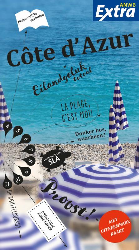
- Cote D'Azur
- Actief Reisgids C te d'AzurDe bekende serie Actief & Anders reisgidsen is grondig vernieuwd en heet voortaan ANWB Actief. De gids is vooral populair bij de reislustige en sportieve Nederlander. Het hoofdstuk over plaatsbeschrijvingen is verbeterd en er zijn nog meer dagtochten beschreven: circa 30 wandel-, fiets- en autoroutes per titel. In het... Read more
- Also available from:
- Bol.com, Belgium
Bol.com
Belgium
Belgium
- Cote D'Azur
- Actief Reisgids C te d'AzurDe bekende serie Actief & Anders reisgidsen is grondig vernieuwd en heet voortaan ANWB Actief. De gids is vooral populair bij de reislustige en sportieve Nederlander. Het hoofdstuk over plaatsbeschrijvingen is verbeterd en er zijn nog meer dagtochten beschreven: circa 30 wandel-, fiets- en autoroutes per titel. In het... Read more
De Zwerver
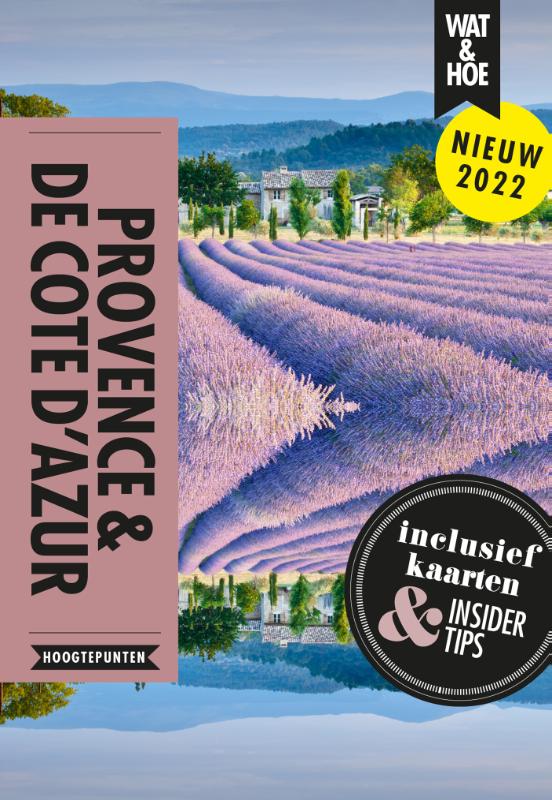
Netherlands
2022
Netherlands
2022

Stanfords
United Kingdom
United Kingdom
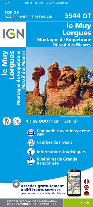
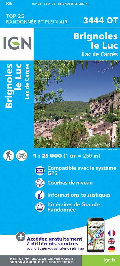
- Le Muy - Lorgues - Montagne de Roquebrune - Massif des Maures IGN 3544OT
- Topographic survey of France at 1:25,000 in IGN`s excellent TOP25 / Série Bleue series. All the maps are GPS compatible, with a 1km UTM grid plus latitude and longitude lines at 5’ intervals. Contours are at 5m intervals except for mountainous areas where the maps have contours at 10m intervals, vividly enhanced by hill shading and graphics for... Read more
- Also available from:
- De Zwerver, Netherlands
De Zwerver
Netherlands
Netherlands
- Wandelkaart - Topografische kaart 3544OT le Muy - Lorgues | IGN - Institut Géographique National
- L'indispensable carte de randonnée IGN aux alentours de Le Muy/Lorgues. A conserver dans son sac à dos. Read more

Stanfords
United Kingdom
2016
United Kingdom
2016
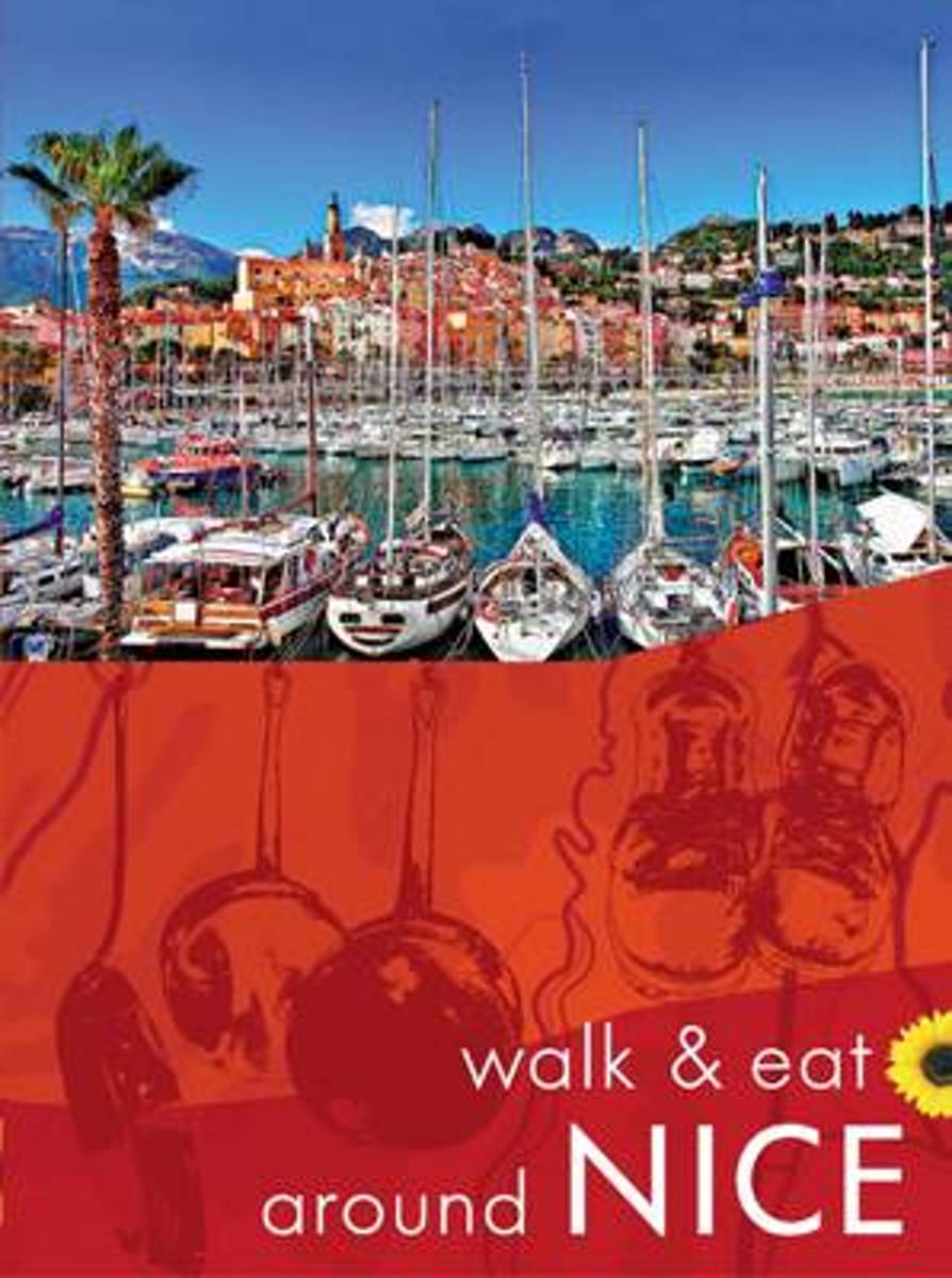
- Nice - Walk & Eat
- This pocket guide to walking around Nice and the Côte d’Azur area is designed for short-break walking holidays using the excellent public transport services. Nice is easily and inexpensively reached by several budget airlines, and the climate makes for brilliant walking and excursions all year round.Key features:• 12 walks, each with at least... Read more
- Also available from:
- Bol.com, Netherlands
- Bol.com, Belgium
Bol.com
Netherlands
2016
Netherlands
2016
- Walk & Eat Around Nice
- This pocket-sized guide to walking in Nice, the Cote d'Azur and the southern Alps is designed for short-break holidays using the excellent public transport services. Nice is easily and inexpensively reached by several budget airlines, and the climate makes for brilliant walking and excursions all year round. Even 'non-walkers' will appreciate... Read more
Bol.com
Belgium
2016
Belgium
2016
- Walk & Eat Around Nice
- This pocket-sized guide to walking in Nice, the Cote d'Azur and the southern Alps is designed for short-break holidays using the excellent public transport services. Nice is easily and inexpensively reached by several budget airlines, and the climate makes for brilliant walking and excursions all year round. Even 'non-walkers' will appreciate... Read more
Bol.com
Netherlands
Netherlands
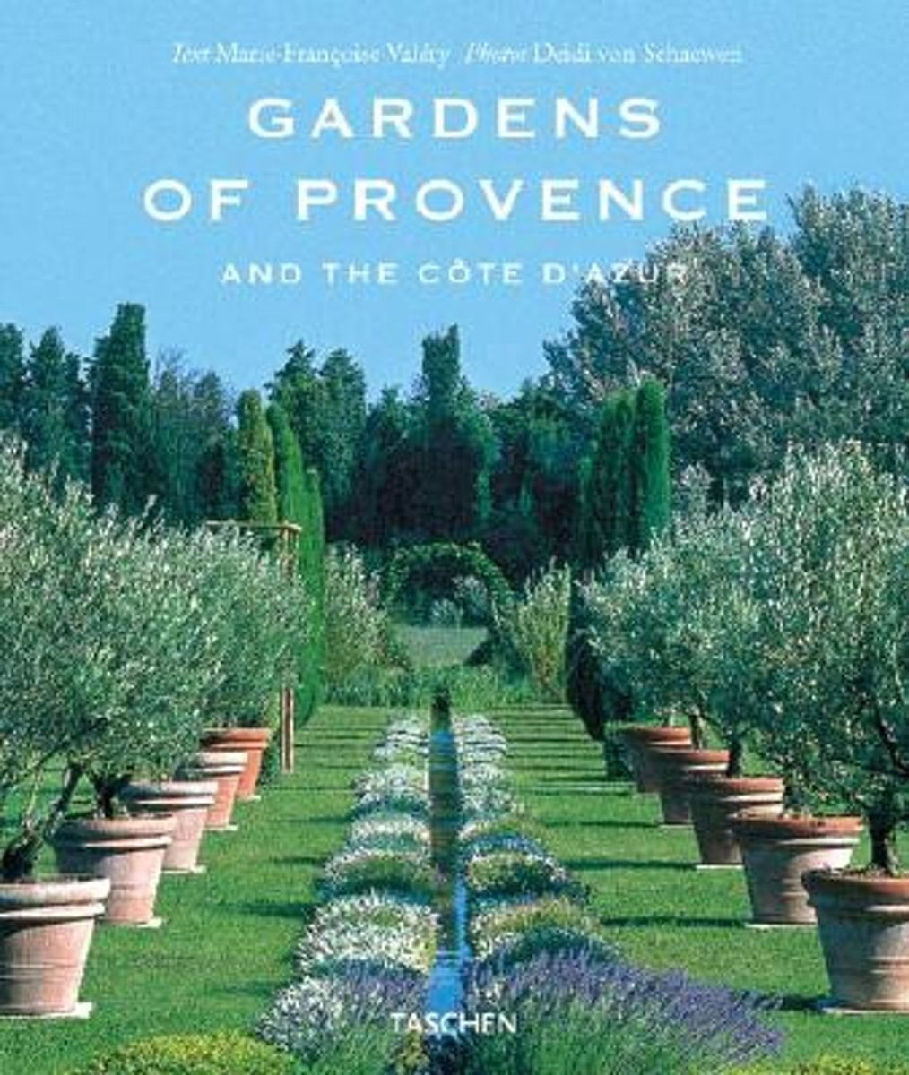
- Gardens of Provence
- Enduring inspiration to countless artists, Provence is a rural paradise, a verdant, fertile environment that offers endless opportunities for those practitioners of what the philosopher Francis Bacon called ''''the purest of human joys''''. The art of landscape gardening demonstrates more than almost any other activity the human need to create... Read more
- Also available from:
- Bol.com, Belgium
Bol.com
Belgium
Belgium
- Gardens of Provence
- Enduring inspiration to countless artists, Provence is a rural paradise, a verdant, fertile environment that offers endless opportunities for those practitioners of what the philosopher Francis Bacon called ''''the purest of human joys''''. The art of landscape gardening demonstrates more than almost any other activity the human need to create... Read more
More books…
Maps

Stanfords
United Kingdom
United Kingdom
- Vallée de la Vésubie - PN du Mercantour IGN 3741OT
- Topographic survey of France at 1:25,000 in IGN`s excellent TOP25 / Série Bleue series. All the maps are GPS compatible, with a 1km UTM grid plus latitude and longitude lines at 5’ intervals. Contours are at 5m intervals except for mountainous areas where the maps have contours at 10m intervals, vividly enhanced by hill shading and graphics for... Read more

Stanfords
United Kingdom
United Kingdom
- Vallee de la Roya - PN du Mercantour IGN 3841OT
- Topographic survey of France at 1:25,000 in IGN`s excellent TOP25 / Série Bleue series. All the maps are GPS compatible, with a 1km UTM grid plus latitude and longitude lines at 5’ intervals. Contours are at 5m intervals except for mountainous areas where the maps have contours at 10m intervals, vividly enhanced by hill shading and graphics for... Read more

Stanfords
United Kingdom
United Kingdom
- Saint-Maximin-la-Sainte-Baume - Barjols - Trets - Mont Aurelien IGN 3344OT
- Topographic survey of France at 1:25,000 in IGN`s excellent TOP25 / Série Bleue series. All the maps are GPS compatible, with a 1km UTM grid plus latitude and longitude lines at 5’ intervals. Contours are at 5m intervals except for mountainous areas where the maps have contours at 10m intervals, vividly enhanced by hill shading and graphics for... Read more

Stanfords
United Kingdom
United Kingdom
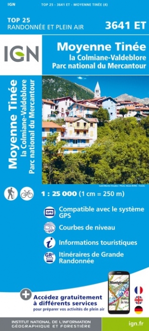
- Moyenne Tinee - la Colmiane-Valdeblore - PN du Mercantour IGN 3641ET
- Topographic survey of France at 1:25,000 in IGN`s excellent TOP25 / Série Bleue series. All the maps are GPS compatible, with a 1km UTM grid plus latitude and longitude lines at 5’ intervals. Contours are at 5m intervals except for mountainous areas where the maps have contours at 10m intervals, vividly enhanced by hill shading and graphics for... Read more
- Also available from:
- The Book Depository, United Kingdom
- De Zwerver, Netherlands

De Zwerver
Netherlands
Netherlands

Stanfords
United Kingdom
United Kingdom
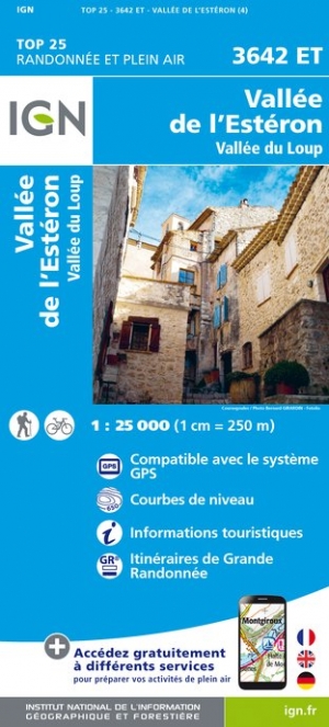
- Vallee de l`Esteron - Vallee du Loup IGN 3642ET
- Topographic survey of France at 1:25,000 in IGN`s excellent TOP25 / Série Bleue series. All the maps are GPS compatible, with a 1km UTM grid plus latitude and longitude lines at 5’ intervals. Contours are at 5m intervals except for mountainous areas where the maps have contours at 10m intervals, vividly enhanced by hill shading and graphics for... Read more
- Also available from:
- The Book Depository, United Kingdom
- De Zwerver, Netherlands

The Book Depository
United Kingdom
United Kingdom
- Vallee de l'Esteron / Vallee du Loup 2018
- De wandelkaart die de perfectie benadert! Werkelijk alle topografische details zijn er op te vinden; van hoogtelijnen tot aan bruggetjes en allerlei wandelpaden. Daarnaast hebben de makers een flinke dosis toeristische informatie op de kaart verwerkt: campings, gites d étape; restaurants en ingetekende doorgaande wandelpaden, de grandes... Read more
De Zwerver
Netherlands
Netherlands
- Wandelkaart - Topografische kaart 3642ET Vallée de l'Esteron | IGN - Institut Géographique National
- De wandelkaart die de perfectie benadert! Werkelijk alle topografische details zijn er op te vinden; van hoogtelijnen tot aan bruggetjes en allerlei wandelpaden. Daarnaast hebben de makers een flinke dosis toeristische informatie op de kaart verwerkt: campings, gites d étape; restaurants en ingetekende doorgaande wandelpaden, de grandes... Read more

Stanfords
United Kingdom
United Kingdom
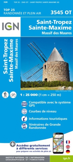
- Saint-Tropez - Sainte-Maxime - Massif des Maures IGN 3545OT
- Topographic survey of France at 1:25,000 in IGN`s excellent TOP25 / Série Bleue series. All the maps are GPS compatible, with a 1km UTM grid plus latitude and longitude lines at 5’ intervals. Contours are at 5m intervals except for mountainous areas where the maps have contours at 10m intervals, vividly enhanced by hill shading and graphics for... Read more
- Also available from:
- The Book Depository, United Kingdom
- De Zwerver, Netherlands

The Book Depository
United Kingdom
United Kingdom
- St-Tropez / Ste-Maxime / Massif des Maures
- Topographic survey of France at 1:25,000 in IGN`s excellent TOP25 / S�rie Bleue series. All the maps are GPS compatible, with a 1km UTM grid plus latitude and longitude lines at 5� intervals. Contours are at 5m intervals except for mountainous areas where the maps have contours at 10m intervals, vividly enhanced by hill shading and graphics for ... Read more
De Zwerver
Netherlands
Netherlands
- Wandelkaart - Topografische kaart 3545OT Saint-Tropez - Sainte-Maxime | IGN - Institut Géographique National
- Topographic survey of France at 1:25,000 in IGN`s excellent TOP25 / S�rie Bleue series. All the maps are GPS compatible, with a 1km UTM grid plus latitude and longitude lines at 5� intervals. Contours are at 5m intervals except for mountainous areas where the maps have contours at 10m intervals, vividly enhanced by hill shading and graphics for ... Read more

Stanfords
United Kingdom
United Kingdom
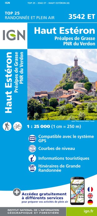
- Haut-Esteron - Prealpes de Grasse - PNR du Verdon IGN 3542ET
- Topographic survey of France at 1:25,000 in IGN`s excellent TOP25 / Série Bleue series. All the maps are GPS compatible, with a 1km UTM grid plus latitude and longitude lines at 5’ intervals. Contours are at 5m intervals except for mountainous areas where the maps have contours at 10m intervals, vividly enhanced by hill shading and graphics for... Read more
- Also available from:
- The Book Depository, United Kingdom
- De Zwerver, Netherlands

The Book Depository
United Kingdom
United Kingdom
- Haute Esteron / Prealpes de Grasse / PNR Verdon
- Topographic survey of France at 1:25,000 in IGN`s excellent TOP25 / Série Bleue series. All the maps are GPS compatible, with a 1km UTM grid plus latitude and longitude lines at 5’ intervals. Contours are at 5m intervals except for mountainous areas where the maps have contours at 10m intervals, vividly enhanced by hill shading and graphics for... Read more
De Zwerver
Netherlands
Netherlands
- Wandelkaart - Topografische kaart 3542ET Haute Estéron | IGN - Institut Géographique National
- Topographic survey of France at 1:25,000 in IGN`s excellent TOP25 / Série Bleue series. All the maps are GPS compatible, with a 1km UTM grid plus latitude and longitude lines at 5’ intervals. Contours are at 5m intervals except for mountainous areas where the maps have contours at 10m intervals, vividly enhanced by hill shading and graphics for... Read more

Stanfords
United Kingdom
United Kingdom
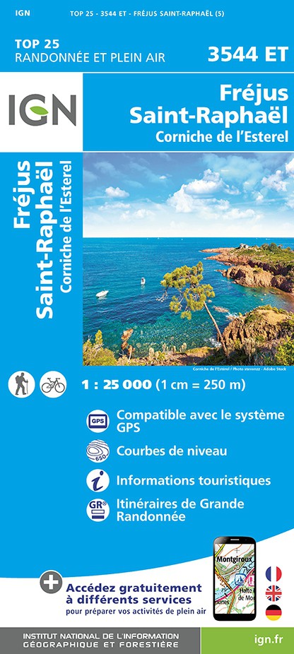
- Frejus - Saint-Raphael - Corniche de l`Esterel IGN 3544ET
- Topographic survey of France at 1:25,000 in IGN`s excellent TOP25 / Série Bleue series. All the maps are GPS compatible, with a 1km UTM grid plus latitude and longitude lines at 5’ intervals. Contours are at 5m intervals except for mountainous areas where the maps have contours at 10m intervals, vividly enhanced by hill shading and graphics for... Read more
- Also available from:
- The Book Depository, United Kingdom
- De Zwerver, Netherlands

De Zwerver
Netherlands
Netherlands

- Also available from:
- The Book Depository, United Kingdom
- De Zwerver, Netherlands

De Zwerver
Netherlands
Netherlands

Stanfords
United Kingdom
United Kingdom
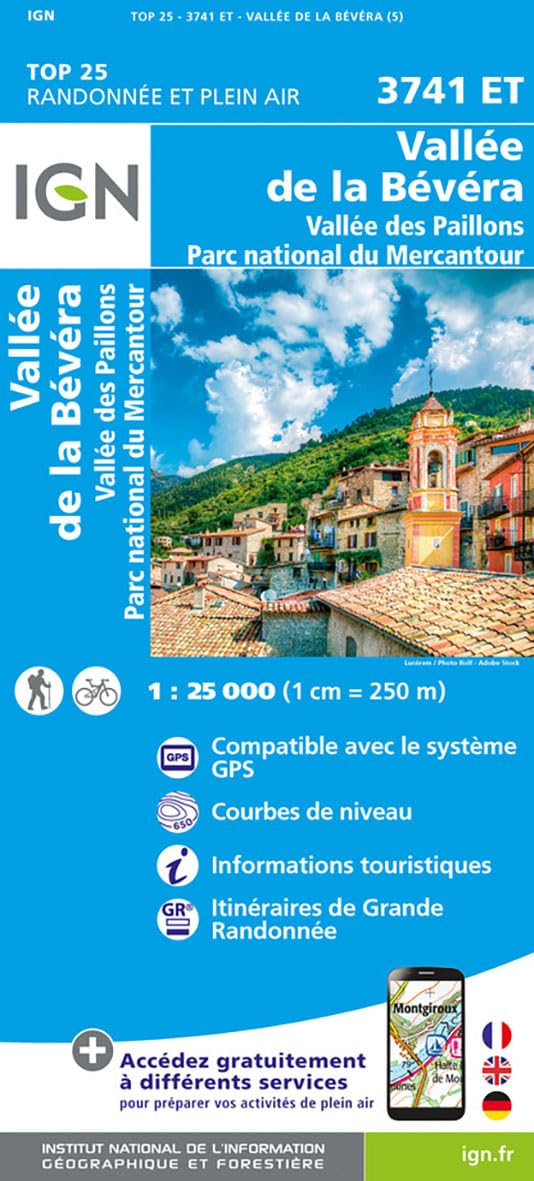
- Vallees de la Bevera - Vallees des Paillons - Parc National du Mercantour IGN 3741ET
- Topographic survey of France at 1:25,000 in IGN`s excellent TOP25 / Série Bleue series. All the maps are GPS compatible, with a 1km UTM grid plus latitude and longitude lines at 5’ intervals. Contours are at 5m intervals except for mountainous areas where the maps have contours at 10m intervals, vividly enhanced by hill shading and graphics for... Read more
- Also available from:
- The Book Depository, United Kingdom

The Book Depository
United Kingdom
United Kingdom
- Vallees de la Bevera / Vallees Paillons / PNR Mercantour
- De wandelkaart die de perfectie benadert! Werkelijk alle topografische details zijn er op te vinden; van hoogtelijnen tot aan bruggetjes en allerlei wandelpaden. Daarnaast hebben de makers een flinke dosis toeristische informatie op de kaart verwerkt: campings, gites d étape; restaurants en ingetekende doorgaande wandelpaden, de grandes... Read more
De Zwerver
Netherlands
2024
Netherlands
2024
De Zwerver
Netherlands
Netherlands
- Also available from:
- De Zwerver, Netherlands

More maps…