
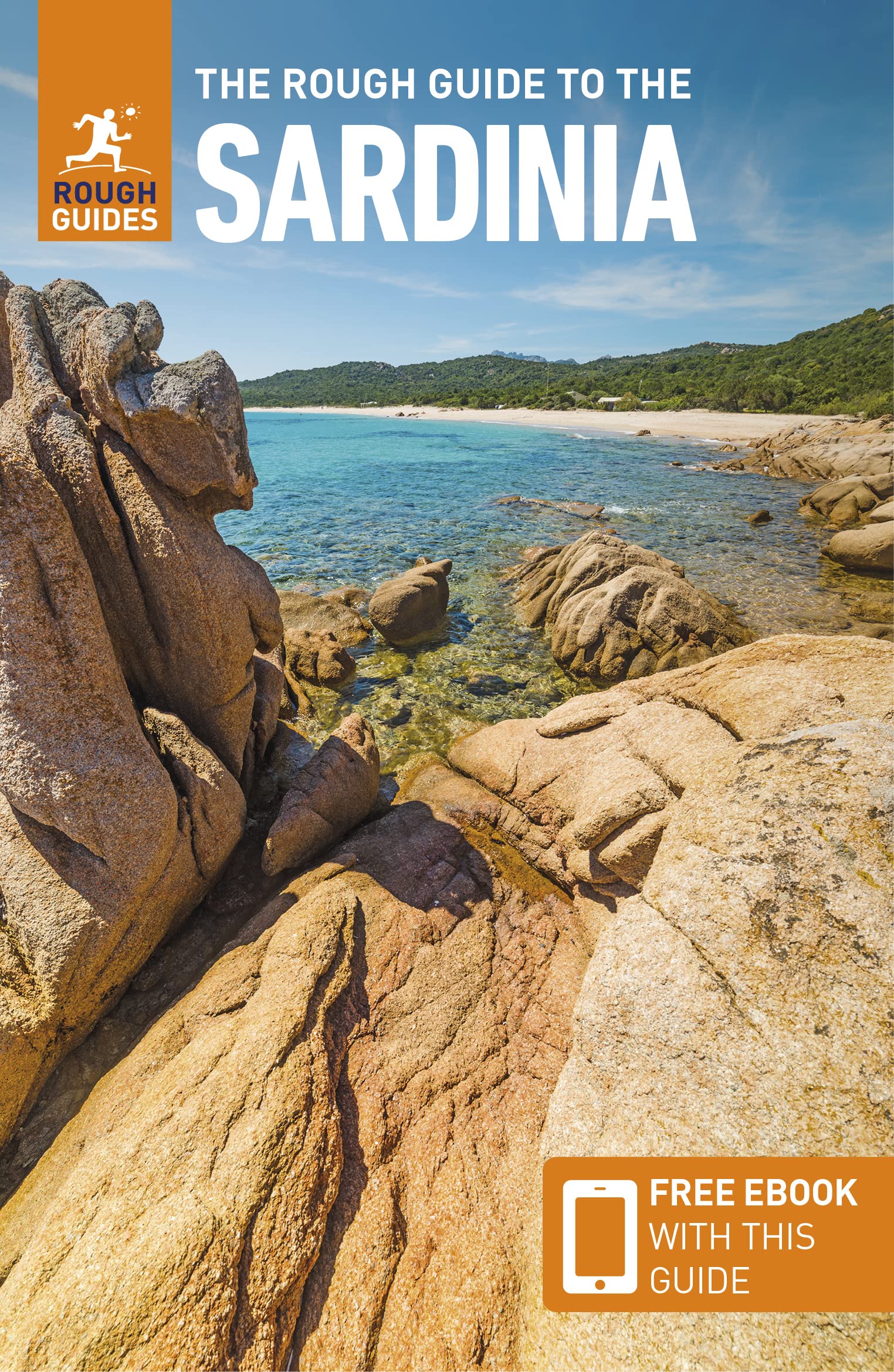
Sardinia
Description
Second largest island in the Mediterranean.
Trails in this region
Links
Facts
Reports
Guides and maps
Lodging
Organisations
Tour operators
GPS
Other
Books

Stanfords
United Kingdom
United Kingdom
- DK Eyewitness Sardinia 14/5/20
- An atmospheric island bursting with history, culture and natural beauty.Whether you want to hike across rugged mountains, spot flamingoes near Cagliari or simply sip a glass of Cannonau overlooking the sparkling turquoise waters of the mediterranean, your DK Eyewitness travel guide makes sure you experience all that Sardinia has to offer.... Read more

Stanfords
United Kingdom
United Kingdom
- Asinara (Sardinia)
- The island of Asinara of the north-western coast of Sardinia, a national park and a marine reserve, presented on a detailed, contoured and GPS compatible map at 1:25,000 from 4Land Cartography, with on reverse extracts highlighting 10 recommended walks. On one side is a map of the whole island, vividly presenting its topography by contours and... Read more

Stanfords
United Kingdom
United Kingdom
- Sardinia North 4-Map Set Kompass 2497
- The northern part of Sardinia on a set of four double-sided, contoured and GPS compatible recreational maps at 1:50,000 from Kompass. Extensive overprint highlights hiking trails, cycle and selected mountain bike routes, and horse riding paths. Symbols indicate various types of accommodation including campsites, youth hostels, “Friends of... Read more

Stanfords
United Kingdom
2021
United Kingdom
2021
- Lonely Planet Best Day Walks Italy
- Lonely Planet`s Best Day Walks Italy is your passport to 60 easy escapes into nature. Stretch your legs outside the city by picking a hike that works for you, from just a couple of hours to a full day, from easy to hard. Hike the Dolomites, explore the Italian Lakes, and stroll Sardinia`s coast. Get to the heart of Italy and begin your journey... Read more
- Also available from:
- The Book Depository, United Kingdom
- De Zwerver, Netherlands


Bol.com
Netherlands
Netherlands
- Rough Water Handling
- Rough Water Handling by Doug Cooper is a practical guide that will help you to master the skills needed to manoeuvre a sea kayak efficiently in rough water and advanced conditions. For intermediate and advanced paddlers, Doug draws on his personal and coaching experience to help the reader master sea kayak handling skills and techniques.... Read more
- Also available from:
- Bol.com, Belgium
Bol.com
Belgium
Belgium
- Rough Water Handling
- Rough Water Handling by Doug Cooper is a practical guide that will help you to master the skills needed to manoeuvre a sea kayak efficiently in rough water and advanced conditions. For intermediate and advanced paddlers, Doug draws on his personal and coaching experience to help the reader master sea kayak handling skills and techniques.... Read more
Bol.com
Netherlands
2015
Netherlands
2015
- Wanderungen Auf Korsika
- Das Standardwerk zu Korsika 80 ausgew hlte Wanderungen an den K sten und in den Bergen der Insel der Sch nheit Bizarre Felsk sten, liebliche Sandbuchten, herrliche Kastanien- und Kiefernw lder, blitzsaubere B che, zauberhafte Bergseen, Gipfelziele bis ber 2700 Meter H he, und dazu noch ein weitgehend ungetr btes Naturerlebnis welche... Read more
- Also available from:
- Bol.com, Belgium
- De Zwerver, Netherlands
Bol.com
Belgium
2015
Belgium
2015
- Wanderungen Auf Korsika
- Das Standardwerk zu Korsika 80 ausgew hlte Wanderungen an den K sten und in den Bergen der Insel der Sch nheit Bizarre Felsk sten, liebliche Sandbuchten, herrliche Kastanien- und Kiefernw lder, blitzsaubere B che, zauberhafte Bergseen, Gipfelziele bis ber 2700 Meter H he, und dazu noch ein weitgehend ungetr btes Naturerlebnis welche... Read more
De Zwerver
Netherlands
2023
Netherlands
2023
- Wandelgids 255 Korsika - Corsica | Rother Bergverlag
- Uitstekende wandelgids met een groot aantal dagtochten in dal en hooggebergte. Met praktische informatie en beperkt kaartmateriaal! Wandelingen in verschillende zwaarte weergegeven in rood/blauw/zwart. Das Standardwerk zu Korsika – 58 ausgewählte Wanderungen an den Küsten und in den Bergen der »Insel der Schönheit« Bizarre Felsküsten, liebliche... Read more
Bol.com
Netherlands
2016
Netherlands
2016
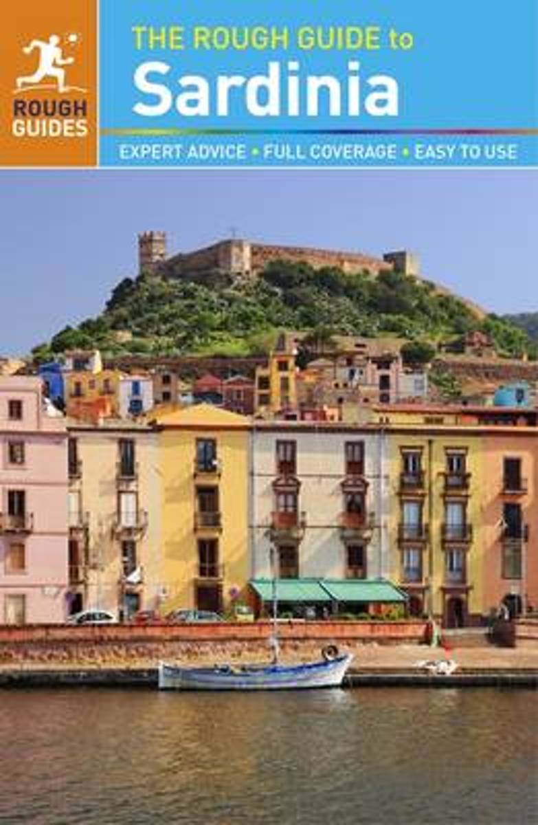
- Rough Guide - Sardinia
- The Rough Guide to Sardinia is the ultimate travel guide to one of the Mediterranean's most fascinating islands.Discover Sardinia's highlights with stunning photography, color-coded maps, and more listings and information than ever before. You'll find detailed practical advice on what to see and do in Sardinia, from museums and archaeological... Read more
- Also available from:
- Bol.com, Belgium
Bol.com
Belgium
2016
Belgium
2016
- Rough Guide - Sardinia
- The Rough Guide to Sardinia is the ultimate travel guide to one of the Mediterranean's most fascinating islands.Discover Sardinia's highlights with stunning photography, color-coded maps, and more listings and information than ever before. You'll find detailed practical advice on what to see and do in Sardinia, from museums and archaeological... Read more
Bol.com
Netherlands
2017
Netherlands
2017
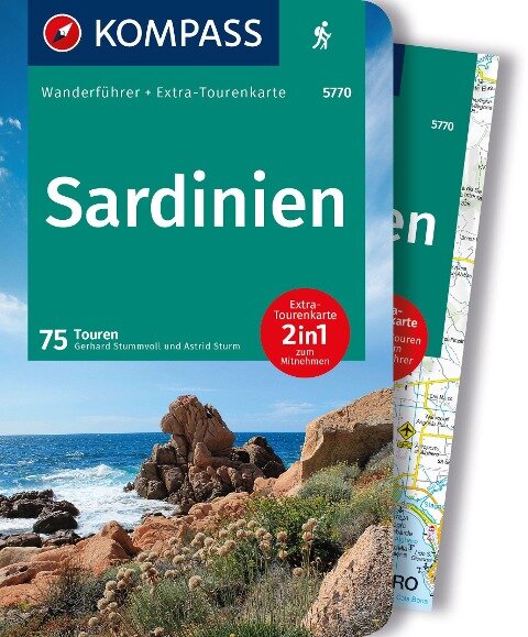
- WF5770 Sardinien mit Karte Kompass
- De Kompass wandelgids + kaart geeft een overzicht van alle wandelroutes in het gebied met nauwkeurige routeaanwijzingen en hoogteaanduidingen, De extra grote kaart, schaal 1:35 000, is ideaal om van te voren uw route uit te stippelen en om onderweg te gebruiken; naast de bekende bestemmingen, worden ook de minder bekende vermeld; openbaar... Read more
- Also available from:
- Bol.com, Belgium
Bol.com
Belgium
2017
Belgium
2017
- WF5770 Sardinien mit Karte Kompass
- De Kompass wandelgids + kaart geeft een overzicht van alle wandelroutes in het gebied met nauwkeurige routeaanwijzingen en hoogteaanduidingen, De extra grote kaart, schaal 1:35 000, is ideaal om van te voren uw route uit te stippelen en om onderweg te gebruiken; naast de bekende bestemmingen, worden ook de minder bekende vermeld; openbaar... Read more
Bol.com
Netherlands
Netherlands
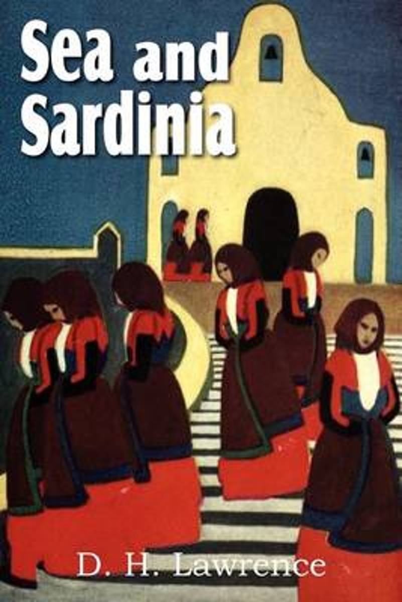
- Sea and Sardinia
- Sea and Sardinia is a travel book by the English writer D. H. Lawrence. It describes his excursion with his wife Frieda from Taormina to the interior of Sardinia. They visited Cagliari, Mandas, Sorgono, and Nuoro. Despite the brevity of his visit, Lawrence distils an essence of the island and its people that is still recognizable today. "Very... Read more
- Also available from:
- Bol.com, Belgium
Bol.com
Belgium
Belgium
- Sea and Sardinia
- Sea and Sardinia is a travel book by the English writer D. H. Lawrence. It describes his excursion with his wife Frieda from Taormina to the interior of Sardinia. They visited Cagliari, Mandas, Sorgono, and Nuoro. Despite the brevity of his visit, Lawrence distils an essence of the island and its people that is still recognizable today. "Very... Read more
Bol.com
Netherlands
2015
Netherlands
2015
- Sardinien
- Sardinien ist die gr te Insel des Mittelmeeres und z hlt zu den beliebtesten Badeinseln Europas. Dass die Insel gebirgig ist, st t bei Sardinien-Neulingen auf Verwunderung. Dass es dort ungez hlte M glichkeiten f r den Wanderer und Bergsteiger gibt, scheint exotisch. Und genau das ist der Reiz: Sardinien f r einen Bergurlaub zu bereisen, ist... Read more
- Also available from:
- Bol.com, Belgium
- De Zwerver, Netherlands
Bol.com
Belgium
2015
Belgium
2015
- Sardinien
- Sardinien ist die gr te Insel des Mittelmeeres und z hlt zu den beliebtesten Badeinseln Europas. Dass die Insel gebirgig ist, st t bei Sardinien-Neulingen auf Verwunderung. Dass es dort ungez hlte M glichkeiten f r den Wanderer und Bergsteiger gibt, scheint exotisch. Und genau das ist der Reiz: Sardinien f r einen Bergurlaub zu bereisen, ist... Read more
De Zwerver
Netherlands
2024
Netherlands
2024
- Wandelgids 310 Sardinien - Sardinië | Rother Bergverlag
- Uitstekende wandelgids met een groot aantal dagtochten in dal en hooggebergte. Met praktische informatie en beperkt kaartmateriaal! Wandelingen in verschillende zwaarte weergegeven in rood/blauw/zwart. Sardinien ist die größte Insel des Mittelmeeres und zählt zu den beliebtesten Badeinseln Europas. Dass die Insel gebirgig ist, stößt bei... Read more
Bol.com
Netherlands
Netherlands
- NG Traveler
- Wherever you visitRome, Florence, Venice, Tuscany, Naples, Sicily, etc.you are in good hands with renowned Italy expert Tim Jepson. He ably guides readers through the storied capital of Rome, Northwest Italy, Lombardy & the Lakes, Venice, Northeast Italy, Emilia-Romagna & the Marche, Florence, Tuscany, Umbria, the South, and Sicily and... Read more
- Also available from:
- Bol.com, Belgium
Bol.com
Belgium
Belgium
- NG Traveler
- Wherever you visitRome, Florence, Venice, Tuscany, Naples, Sicily, etc.you are in good hands with renowned Italy expert Tim Jepson. He ably guides readers through the storied capital of Rome, Northwest Italy, Lombardy & the Lakes, Venice, Northeast Italy, Emilia-Romagna & the Marche, Florence, Tuscany, Umbria, the South, and Sicily and... Read more
Maps

Stanfords
United Kingdom
United Kingdom
- IT3 Sardinia East
- Passage ChartsC0 Mallorca to Sicily 1:1,750,000C1 Sardinia 1:650,000C2 Sardinia North 1:350000C3 Sardinia East 1:350,000Coastal ChartsC4 Strait of Bonifacio 1:150,000C5 Porto Cervo to Capo Camino 1:150,000C6 Capo Camino to Capo Bellavista 1:150,000C7 Capo Bellavista to Capo Ferrato 1:150,000C8 Capo Ferrato to Capo Spartivento 1:150,000C9 Strait... Read more

Stanfords
United Kingdom
United Kingdom
- Lake Maggiore - Lake Varese Kompass 90
- recreational map at 1:50,000 from Kompass. Coverage extends from Locarno to Arona on the southern tip of Lake Maggiore, and from Lago di Mergozzo in the west to Lugano in the east, and includes part of Parco Nazionale delle Val Grande. Accompanying booklet has 33 pages in English, providing descriptions of best sights, suggestions for three... Read more

Stanfords
United Kingdom
United Kingdom
- Sardinia South-West: The Mining Coast Hiking Trail Guide
- English language 63-page guide to a 60km / 5 day trail along Sardinia’s south-western coast between Portoscuso and Piscinas, with contoured maps, GPS coordinates for important points, route profiles for each stage, and numerous colour photos. The author, Lino Cianciotto, is an environmental hiking guide who organizes active holidays in... Read more

Stanfords
United Kingdom
United Kingdom
- IT4 Sardinia West
- Passage ChartsC0 Mallorca to Sicily 1:1,750,000C1 Sardinia 1:650,000C2 Sardinia North 1:350,000C3 Sardinia Southwest 1:350,000C22 Mediterranean Sea 1:6,000,000Coastal ChartsC4 Golfo dell` Asinara 1:150,000C5 Capo dell` Argentiera to Capo Mannu 1:150,000C6 Capo Mannu to Pta.Nai . Oristano 1:150,000C7 Pta.Nai to Capo Spartivento 1:150,000C8 Capo... Read more

Stanfords
United Kingdom
United Kingdom
- Sardinia Central 4-Map Set Kompass 2498
- The central part of Sardinia on a set of four double-sided, contoured and GPS compatible recreational maps at 1:50,000 from Kompass. Extensive overprint highlights hiking trails, cycle and selected mountain bike routes, and horse riding paths. Symbols indicate various types of accommodation including campsites, youth hostels, “Friends of... Read more

Stanfords
United Kingdom
United Kingdom
- Alpi di Ledro - Valli Giudicarie Kompass 071
- Map No. 071, Alpi di Ledro - Valli Giudicarie, from Kompass in a series of walking maps of selected areas of Italy at 1:50,000, with hiking routes on a topographic base, various types of accommodation, recreational facilities, places of interest, etc. Kompass are Europe’s largest publishers of walking maps, with extensive coverage of hiking... Read more

Stanfords
United Kingdom
United Kingdom
- Sardinia`s Trenino Verde Route 3-Map Set
- A set of three maps at 1:40,000 from the Edizioni Abies series covering Sardinia’s Trenino Verde tourist railway line, run with vintage diesel and steam engines. The maps in this set cover the stages 1 to 3: Arbatax to Ussassai, Ussassai to Nurri, and Nurri to Mandas plus Gesico to Nurallao. Topography is shown by contours at 20m intervals,... Read more

Stanfords
United Kingdom
United Kingdom
- Elba Kompass 2468
- Elba on a map at 1:25,000 from Kompass, with a street plan of Portoferraio and coverage of the nearby Capraia and Pianosa at 1:50,000. Contours are at 20m intervals, with relief shading and graphics/colouring to indicate different types of the terrain. An overprint highlights hiking trails, including the GTE – Grande Traversata Elbana,... Read more

Stanfords
United Kingdom
United Kingdom
- Siena - Volterra - Massa Marittima - Roccastrada Kompass 2462
- Siena - Volterra - Massa Marittima - Rocca Strada map at 1:50,000 from Kompass, printed on durable, waterproof and tear-resistant synthetic paper. Coverage includes Colle di Va d’Elsa, Casole d’Elsa, Metallifere hills, etc. Contours are at 40m intervals, with a 2-km UTM grid. Extensive overprint includes GEA - Grande Escursione Appenninica,... Read more


Stanfords
United Kingdom
United Kingdom
- Eschenbach in der Oberpfalz E12
- Eschenbach i.d.OPf. in a series of GPS compatible recreational editions of the Bavarian topographic survey at 1:25,000, with waymarked hiking trails and cycling routes, campsites and youth hostels, etc. Coverage includes Creußen, Kirchenthumbach, Speichersdorf, Kemnath, Neustadt am Kulm, Grafenwöhr.Contours used in this map vary between 5 to... Read more

Stanfords
United Kingdom
United Kingdom
- Sardinia`s Trenino Verde Route 4-Map Set
- A set of four maps at 1:40,000 from the Edizioni Abies series covering Sardinia’s Trenino Verde tourist railway line, run with vintage diesel and steam engines. The maps in this set cover stages 1 to 4: Arbatax to Ussassai, Ussassai to Nurri, Nurri to Mandas plus Gesico to Nurallao, and Nurallao to Sorgono. Topography is shown by contours at... Read more

Stanfords
United Kingdom
United Kingdom
- Sardinia South 4-Map Set Kompass 2499
- The southern part of Sardinia on a set of four double-sided, contoured and GPS compatible recreational maps at 1:50,000 from Kompass. Extensive overprint highlights hiking trails, cycle and selected mountain bike routes, and horse riding paths. Symbols indicate various types of accommodation including campsites, youth hostels, “Friends of... Read more

Stanfords
United Kingdom
United Kingdom
- Cinque Terre Kompass 2450
- Cinque Terra area of the Ligurian Coast on a double-sided, contoured and GPS compatible recreational map at 1:50,000 from Kompass, printed on durable, waterproof and tear-resistant synthetic paper. Coverage Montemarcello Magra Regional Park. In addition to numerous local hiking trails and long-distance routes such as the Alta Via dei Monti... Read more

Stanfords
United Kingdom
United Kingdom
- Arezzo - Casentino - Foreste Casentinesi NP - Monte Falterona Kompass 2459
- Arezzo - Casentino - Monte Falterona map at 1:50,000 from Kompass, printed on durable, waterproof and tear-resistant synthetic paper. Coverage includes Foreste Casentinesi National Park. Contours are at 40m intervals, with a 2-km UTM grid. Extensive overprint includes GEA - Grande Escursione Appenninica, Sentiero Italia, etc, plus cycling and... Read more