
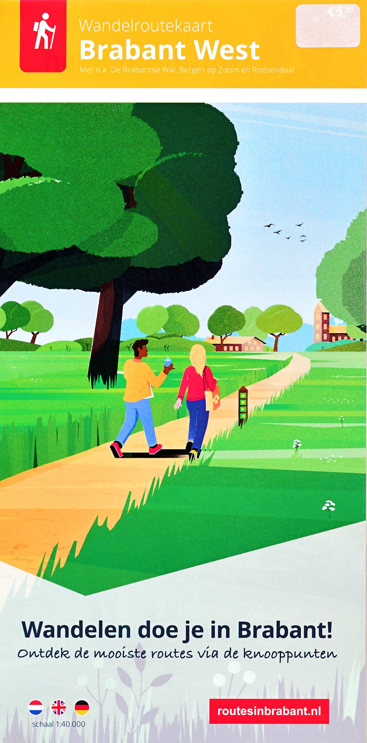
Brabantse Wal
Description
- Name Brabantse Wal (SP17)
- Length of trail 112 km, 70 miles
- Length in days 6 days
- Start of trail Bergen-op-Zoom
- End of trail Bergen-op-Zoom
- Traildino grading LW, Light walk, countryside walk

Brabantse Wal, SP17, circular trail starting from Bergen-op-Zoom, 112 km
The Brabantse Wal is an elongated elevation in the landscape, something like a mini ridge, in the southwest of Brabant. It stretches between the villages Ossendrecht, Hoogerheide, Woensdrecht, Bergen op Zoom, Halsteren and Steenbergen.
The area is very attractive because of its scenic views and varied vegetation. The highest point is about 40 meters, enough to astonish the Dutch! This path is an excellent opportunity to explore this phenomenon and enjoy the scenery.
The path is an official LAW, Streekpad 17 (previously this number was attached to the Maasduinen-Nierspad), and is a recent addition to the collection of Dutch footpaths. The path makes a circle, and besides exploring the Brabantse Wal you will visit neighbouring villages and forests.
Links
Facts
Reports
Guides and maps
Lodging
Organisations
Tour operators
GPS
Other
Maps
Netherlands