GR130 Camino Real de la Costa
Description
- Name GR130 Camino Real de la Costa (GR130)
- Length of trail 180 km, 112 miles
- Length in days 8 days
- Start of trail Santa Cruz de la Palma
- End of trail Santa Cruz de la Palma
- Traildino grading MW, Moderate walk, backpacking trail
- Hut tour grading T1, Walk


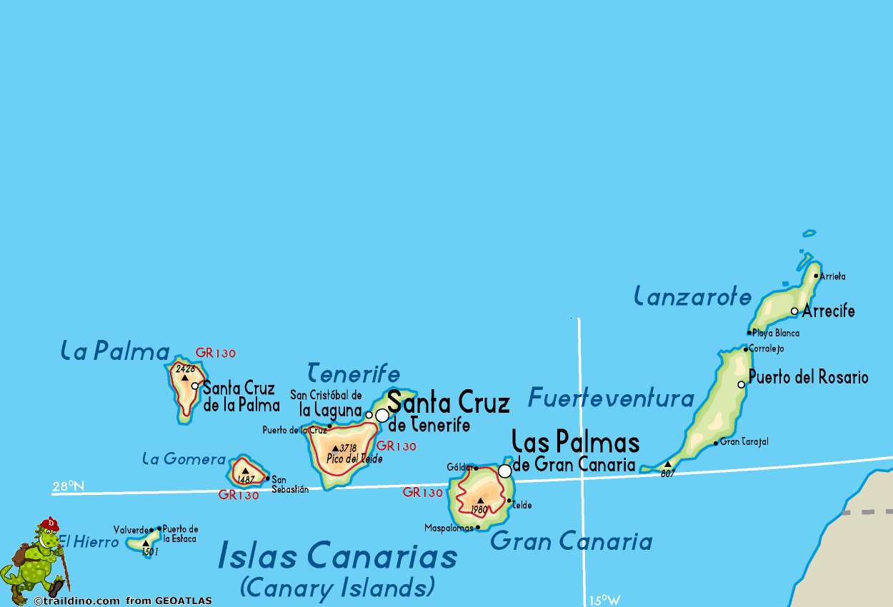
 GR130 Camino Real de la Costa, Santa Cruz de la Palma - Santa Cruz de la Palma, 160 km, 8 days
The GR130 is a trail on La Palma, one of the Canary Islands. In one week time you will hike all around the island from village to village. The start is where the ferry land, in Santa Cruz de la Palma.
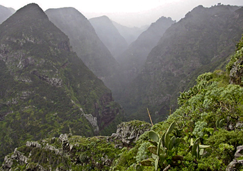
Clearly this trail was here before there was a road. It connected all the villages on the island, passing through farmlands. Now, we can use the trail as local people did in the past, and feel like a king. The trail is marked, and the village bars (not all) offer lodging and food. Maps and guidebooks are available.
The trail can be walked in any season. It is not a lazy trail. The coastline is carved deep by countless barrancas. You will go up and down a lot through these steep and forested ravines. If you are eager to explore the higher and exotic spots of La Palma, choose the GR131 or one of the local (marked) trails.
Check the complete list of Canary Islands.
Map
Links
Facts
Reports
Guides and maps
Lodging
Organisations
Tour operators
GPS
Other
Books

United Kingdom
2019
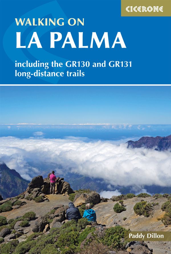
- Walking on La Palma: Including the GR130 and GR131 long-distance trails
- Guide to walking on La Palma. In total 45 day walks are described ranging from 7 to 32km in length, and covering a wide variety of terrain. Although La Palma is one of the smaller Canary Islands, there are routes of all types from easy strolls to hands-on scrambling, from simple day walks to long-distance treks on rocky mountain paths,... Read more
- Also available from:
- The Book Depository, United Kingdom
- De Zwerver, Netherlands

United Kingdom
2019
- Walking on La Palma
- Including the GR130 and GR131 long-distance trails Read more
Netherlands
2019
- Wandelgids Walking on La Palma | Cicerone
- Guidebook to 45 walks and scrambles on La Palma in the Canary Islands, ranging from 7 to 31km. Some walks combine to complete the GR130 long-distance trail (eight days) and GR131 trail (three days). Areas explored include Santa Cruz and Buenavista. Contains a Spanish-English glossary. Read more
Netherlands
2010
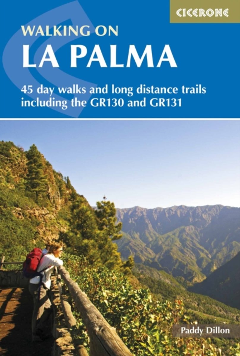
- Walking on La Palma
- Guide to walking on La Palma. In total 45 day walks are described ranging from 8km to 32km in length, and covering a wide variety of terrain. Although La Palma is one of the smaller Canary Islands, there are routes of all types from easy strolls to hands-on scrambling, from simple day walks to long distance treks on rocky mountain paths,... Read more
- Also available from:
- Bol.com, Belgium

Belgium
2010
- Walking on La Palma
- Guide to walking on La Palma. In total 45 day walks are described ranging from 8km to 32km in length, and covering a wide variety of terrain. Although La Palma is one of the smaller Canary Islands, there are routes of all types from easy strolls to hands-on scrambling, from simple day walks to long distance treks on rocky mountain paths,... Read more
Netherlands
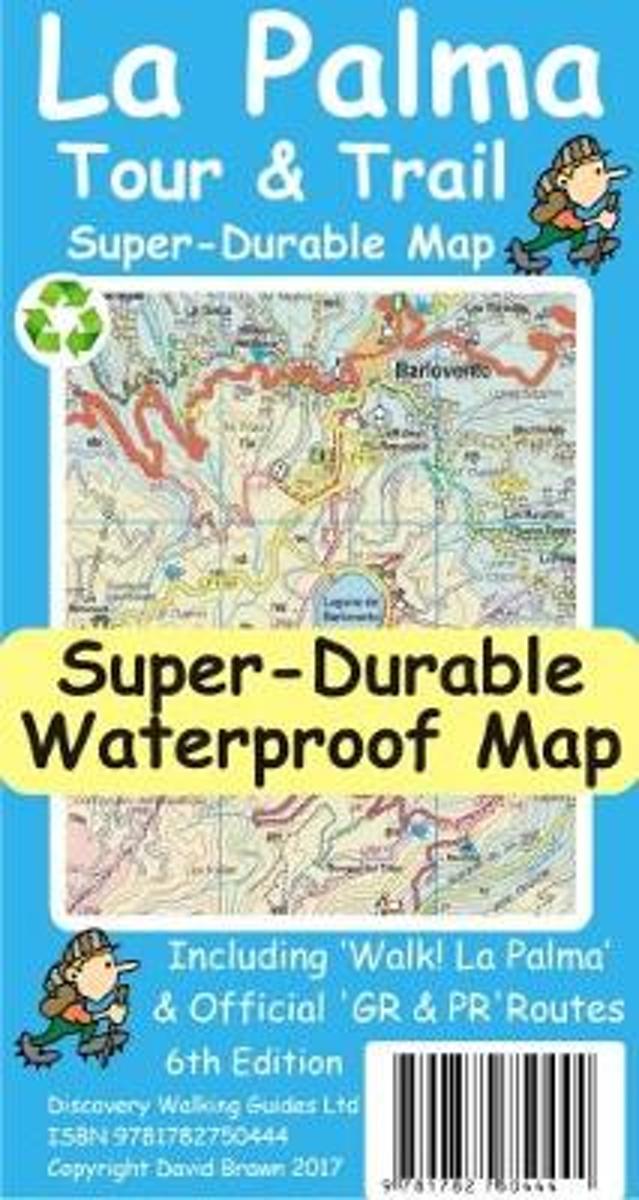
- La Palma Tour & Trail Super-Durable Map
- La Palma Tour & Trail Super-Durable Map 4th edition isbn 9781904946922. New 2013 4th Edition of our La Palma Tour & Trail Super-Durable Map is now available. Our large 1:40,000 scale, combined with splitting the island into a North (Landscape view) and South (Portrait view) with a generous overlap, produces double sided map whose total size is... Read more
- Also available from:
- Bol.com, Belgium

Belgium
- La Palma Tour & Trail Super-Durable Map
- La Palma Tour & Trail Super-Durable Map 4th edition isbn 9781904946922. New 2013 4th Edition of our La Palma Tour & Trail Super-Durable Map is now available. Our large 1:40,000 scale, combined with splitting the island into a North (Landscape view) and South (Portrait view) with a generous overlap, produces double sided map whose total size is... Read more

United Kingdom
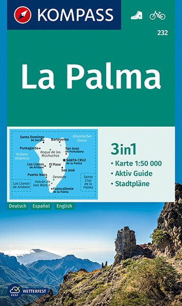
- La Palma Kompass 232
- La Palma at 1:50,000 on a waterproof and tear-resistant, contoured and GPS compatible map from Kompass, with extensive tourist overprint, plus street plans of Santa Cruz de la Palma and Los Llanos de Aridane.Topography is vividly presented by contours at 100m intervals, enhanced by relief shading plus spot heights. An overprint highlights local... Read more
- Also available from:
- De Zwerver, Netherlands
Netherlands
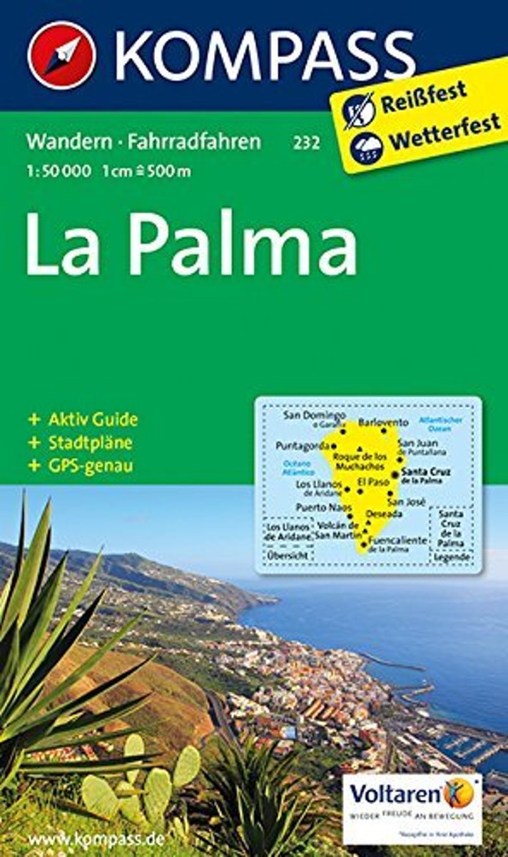
- Wandelkaart 232 La Palma | Kompass
- Die 3in1Wanderkarte ist jetzt noch übersichtlicher und besser lesbar. Die Wanderkarte ist mit zusätzlichen Stadtplänen ausgestattet. Der Aktiv Guide informiert Sie rund um das Thema Outdoor. Das bildet die perfekte Grundlage für die Planung einer Wandertour. Die präzise Kartografie zeigt alle begehbaren Wanderwege inklusive Klassifizierung.... Read more
Maps
Netherlands
- Kompass WK232 La Palma
- Toeristische kaart voor wandelen, fietsen en vrije tijd met activiteitengids en stadsplattegronden • goed leesbare schaal van 1:50 000 • te gebruiken met GPS • met praktische informatie over de regio • wandel- en fietspaden • aanbevolen routes • kastelen • uitzichtpunten • stranden en baaien • toeristische informatie • veel topografische... Read more
- Also available from:
- Bol.com, Belgium

Belgium
- Kompass WK232 La Palma
- Toeristische kaart voor wandelen, fietsen en vrije tijd met activiteitengids en stadsplattegronden • goed leesbare schaal van 1:50 000 • te gebruiken met GPS • met praktische informatie over de regio • wandel- en fietspaden • aanbevolen routes • kastelen • uitzichtpunten • stranden en baaien • toeristische informatie • veel topografische... Read more


