
Majorca, Baleares
Description

The largest of the Islas Baleares, Majorca - or Mallorca - is a popular holiday destination thanks to its beaches and climate. Much of the island is pretty flat, with larges settlements along its coastline and farmland in its centre.
The northern part of Mallorca is mountainous: Serra de Tramuntana. Here most of the hiking trails can be found. The mountain ridges seem to roll out of the centre of the island, like waves tipping over towards the sea, the white crests sticking out of the forests. Main trail on the island is the GR221, traversing the Serra de Tramuntana. The other trail is the GR222 crossing the island from east to west. Both trails are still under construction, but the itineraries are set out. Refuges - both private and municipal - can be found along these trails. Many shorter hiking trails on the island are marked.
Check the list of Balearic Islands.
Map

Trails in this region
Links
Facts
Reports
Guides and maps
Lodging
Organisations
Tour operators
GPS
Other
Books

United Kingdom
2016
- Menorca Sunflower Landscape Guide
- This new 6th edition of Sunflower`s popular guide to Menorca has been reformatted to feature many new walks and to include a section on the Cami de Cavalls a walking/cycling/riding trail circling the island alongside or near the coast.Menorca is a peaceful island, much more low-key than the neighbouring Balearic Islands of Mallorca and Ibiza.... Read more

United Kingdom
2016
- Mallorca - Walk & Eat
- This pocket-sized full-colour guide is designed for walking in Mallorca with a gastronomical touch, using public transport. Even `non-walkers` will appreciate the recommendations for Mallorca restaurants.The walks are dotted all around the island, with most in the west and mountainous northwest. For each suggested restaurant there is a... Read more

United Kingdom
- Cabrera and the Adjoining Islands National Park CNIG Map-Guide SPANISH
- Cabrera and the small islands between it and Mallorca which together constitute PN Marítimo-Terrestre del Archipiélago de Cabrera at 1:25,000 on a contoured and GPS compatible map from IGN/CNIG with cartography from their topographic survey of Spain. The map is surrounded by eight panels with satellite imagery of various parts of Cabrera... Read more

United Kingdom
- Berlitz Pocket Guide Mallorca (Travel Guide with Dictionary)
- The world-renowned pocket travel guide by Berlitz, now with a free bilingual dictionary.Compact, concise and packed full of essential information about where to go and what to do, this is an ideal on-the-move guide for exploring Mallorca. From top tourist attractions like Valldemossa, the Coves del Drac and Monestir de Llluc, to cultural gems,... Read more

United Kingdom
- DK Eyewitness Road Trips Spain
- With its idyllic hilltop villages, historic cities, coastal towns, and stunning natural landscapes, Spain is the perfect destination for a leisurely road trip. It`s yours to explore with Road Trips Spain, our redesigned and newly updated guide containing 25 drives across the country, from the spectacular rocky coastline of Mallorca to the... Read more

United Kingdom
- Mallorca 4-Map Set Kompass 2230
- Mallorca on a set of four double-sided, contoured and GPS compatible maps at 1:35,000 from Kompass with exceptionally detailed presentation of the topography, extensive overprint for hiking trails and cycling routes, accommodation and places of interest, etc, plus street plans of central Palma de Mallorca, Platja de Palma, Sóller, Alcúdia/Port... Read more


United Kingdom
2018
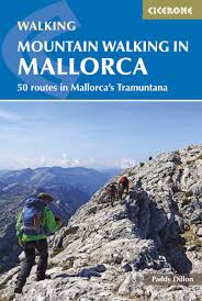
- Mountain Walking in Mallorca: 50 routes in Mallorca`s Tramuntana
- This guide describes 50 full and half-day walks in Mallorca`s mountainous northwest, in the stunning Serra de Tramuntana. Whilst the region promises breathtaking scenery and some fantastic walks, there is also some potentially challenging terrain, making guidance when choosing, planning and walking routes all the more valuable. Ranging from... Read more
- Also available from:
- The Book Depository, United Kingdom
- De Zwerver, Netherlands

United Kingdom
2018
- Mountain Walking in Mallorca
- 50 routes in Mallorca's Tramuntana Read more
Netherlands
2018
- Wandelgids Mountain Walking in Mallorca | Cicerone
- Guidebook describing 50 full and half-day walks in Mallorca's mountainous northwest. Ranging from 5.5km to 24km, the routes showcase the outstanding natural beauty and mountain heritage of the Serra de Tramuntana. Potential bases include Pollença, Sóller, Valldemossa and Andratx, and most walks are accessible by public transport. Read more

United Kingdom
2022
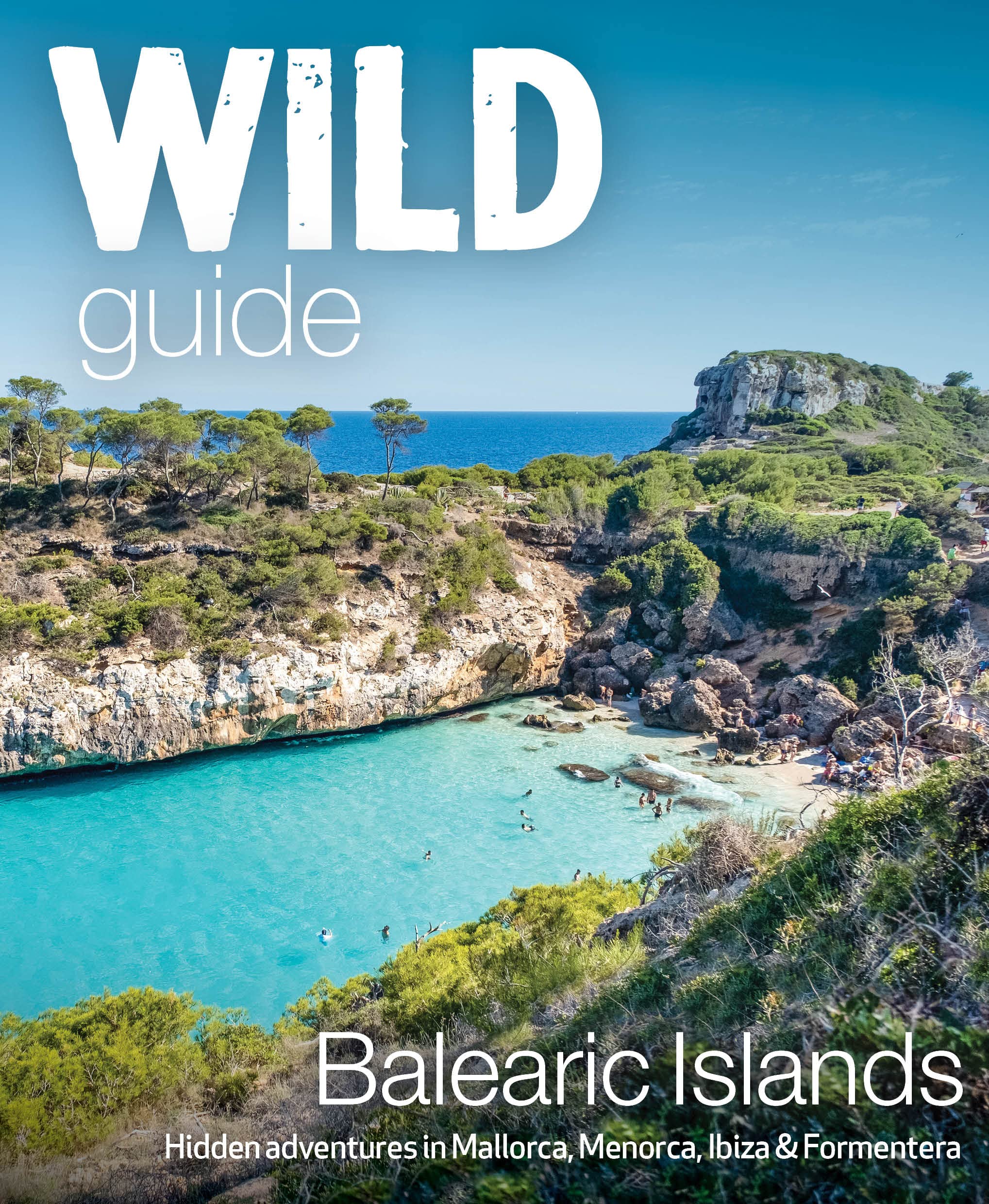
- Wild Guide Balearic Islands
- Secret coves, mountains, caves and adventure in Mallorca, Menorca, Ibiza & Formentera Read more
- Also available from:
- De Zwerver, Netherlands
Netherlands
2022
- Reisgids Wild Guide Balearic Islands | Wild Things Publishing
- Secret coves, mountains, caves and adventure in Mallorca, Menorca, Ibiza & Formentera Read more
United Kingdom
2022
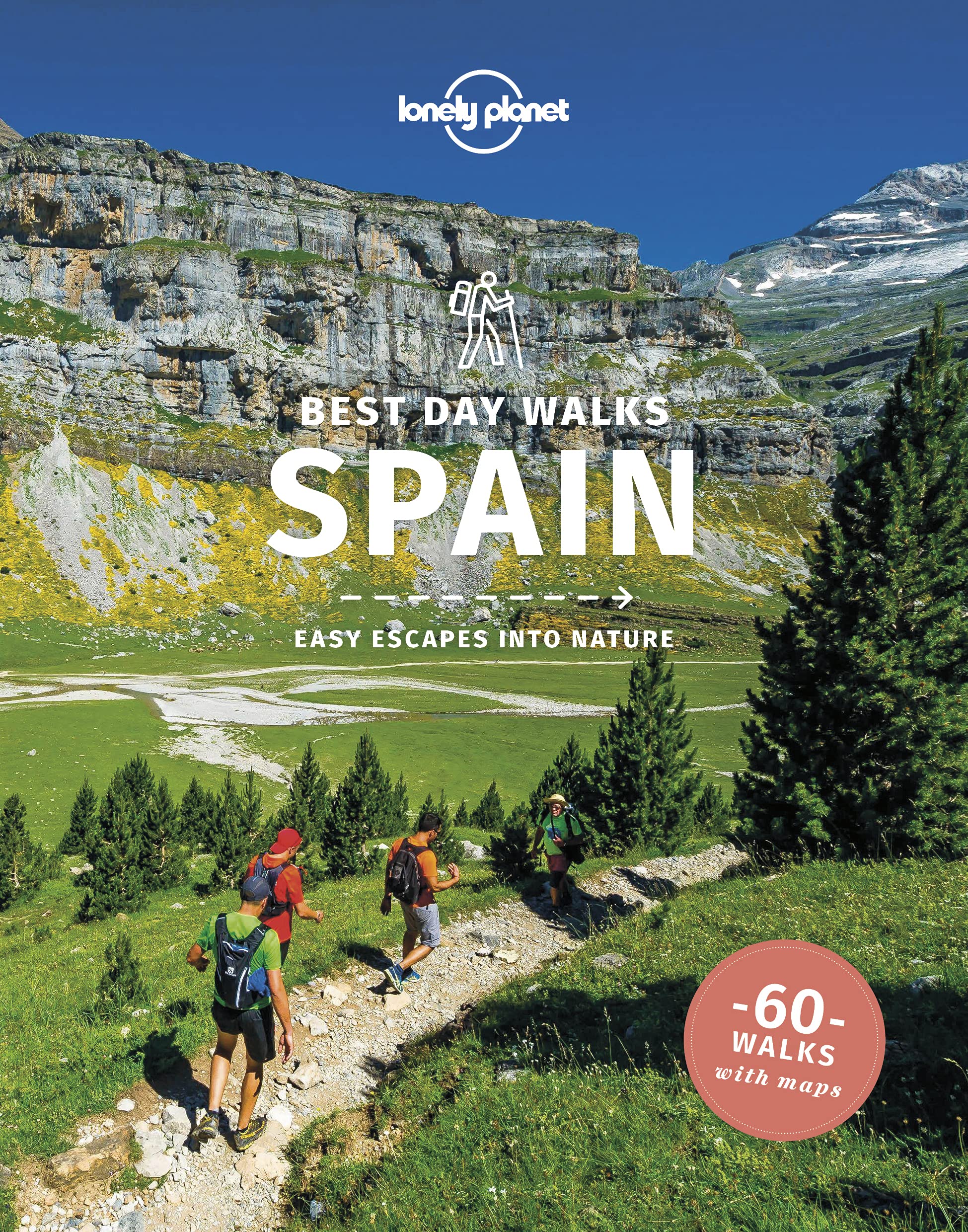
- Lonely Planet Best Day Walks Spain
- Lonely Planet`s Best Day Walks Spain is your passport to 60 easy escapes into nature. Stretch your legs away from the city by picking a walk that works for you, from just a couple of hours to a full day, from easy to hard. Marvel at the Pyrenees, hike along the Mediterranean coast, and experience island walks in Mallorca. Inside Lonely... Read more
- Also available from:
- The Book Depository, United Kingdom
- De Zwerver, Netherlands

United Kingdom
2022
- Lonely Planet Best Day Walks Spain
- Lonely Planet`s Best Day Walks Spain is your passport to 60 easy escapes into nature. Stretch your legs away from the city by picking a walk that works for you, from just a couple of hours to a full day, from easy to hard. Marvel at the Pyrenees, hike along the Mediterranean coast, and experience island walks in Mallorca. Inside Lonely... Read more

Netherlands
2022
- Wandelgids Best Day Walks Spain - Spanje | Lonely Planet
- Lonely Planet`s Best Day Walks Spain is your passport to 60 easy escapes into nature. Stretch your legs away from the city by picking a walk that works for you, from just a couple of hours to a full day, from easy to hard. Marvel at the Pyrenees, hike along the Mediterranean coast, and experience island walks in Mallorca. Inside Lonely... Read more
Netherlands
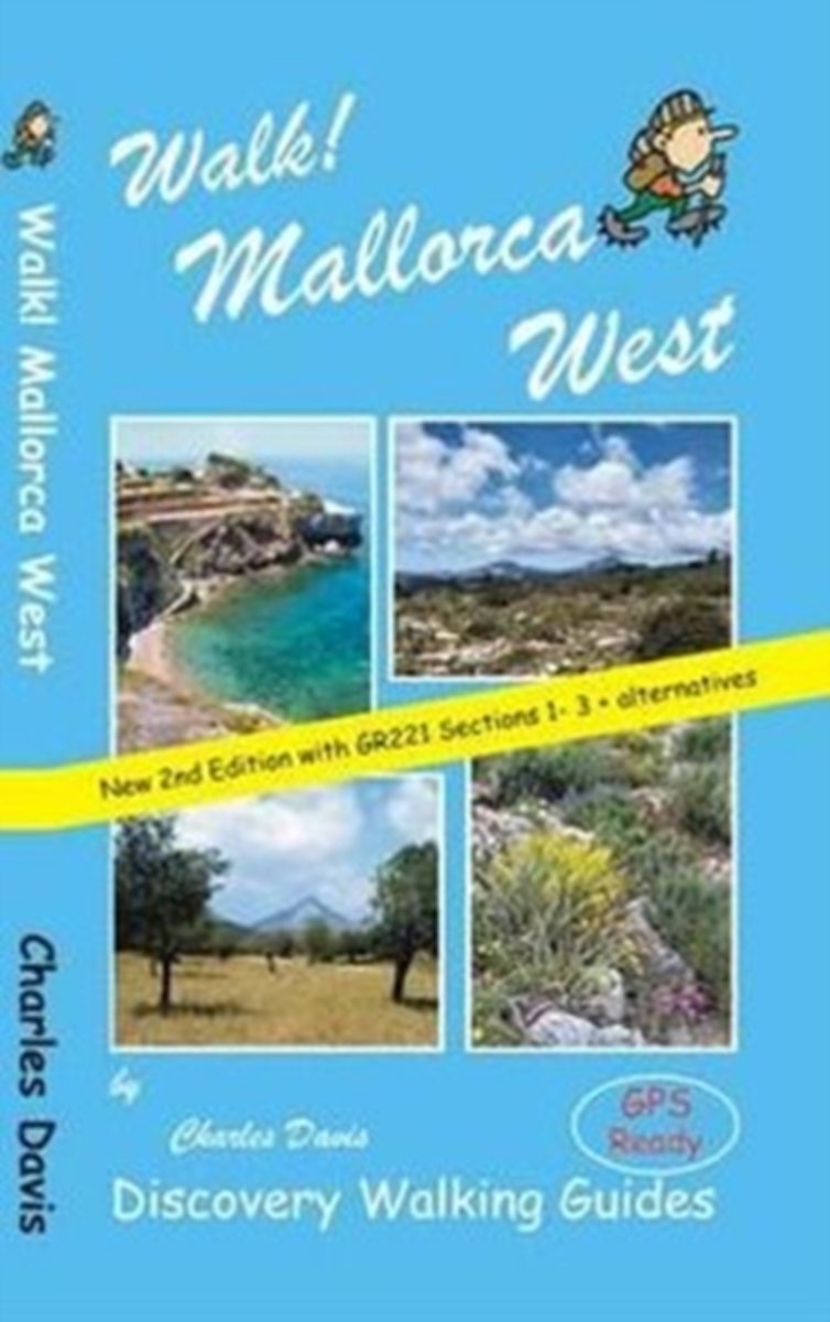
- Walk! Mallorca West
- Revised edition of Walk! Mallorca West incorporating updated and new routes from the GR221 Dry Stone Way ready for adventuring on foot in the western landscapes of Europe's most popular holiday walking destination. Now includes the opening sections of the GR221 'Ruta de Pedra en Sec' (Dry Stone Way) covering the route as far as Esporles plus... Read more
- Also available from:
- Bol.com, Belgium
Belgium
- Walk! Mallorca West
- Revised edition of Walk! Mallorca West incorporating updated and new routes from the GR221 Dry Stone Way ready for adventuring on foot in the western landscapes of Europe's most popular holiday walking destination. Now includes the opening sections of the GR221 'Ruta de Pedra en Sec' (Dry Stone Way) covering the route as far as Esporles plus... Read more

United Kingdom
2009
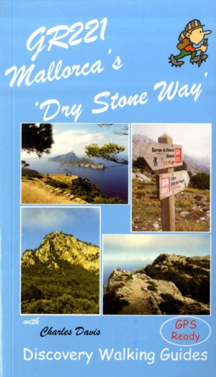
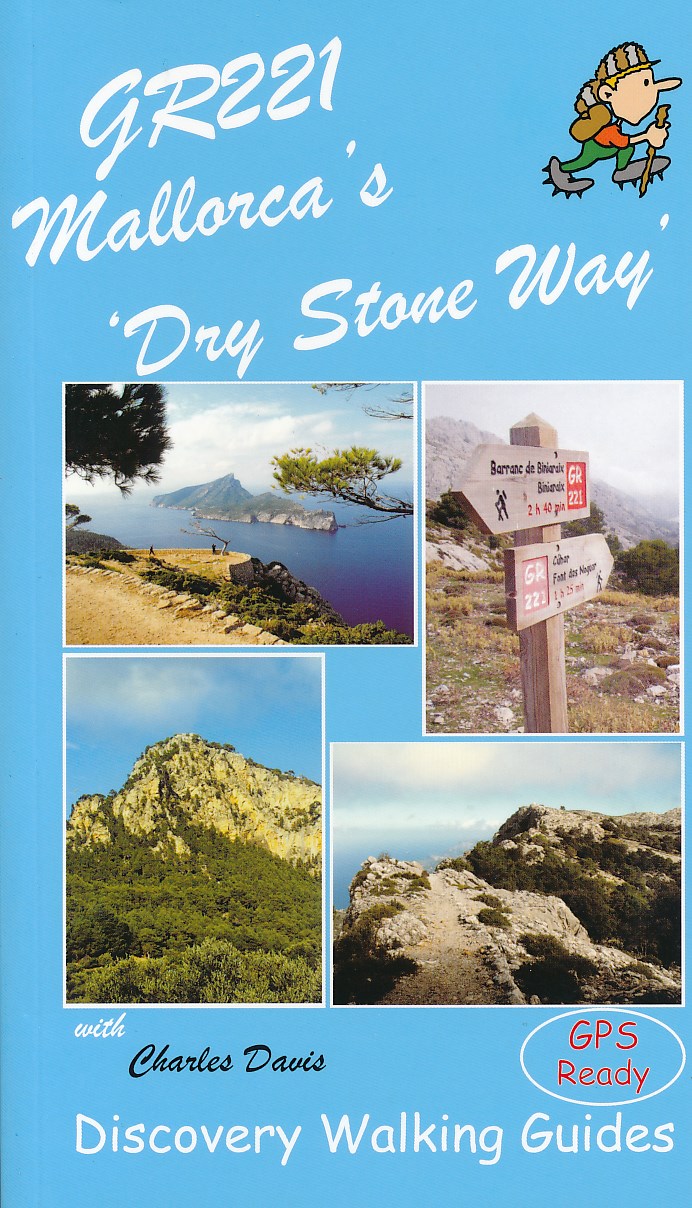
- GR221 Mallorca`s `Dry Stone Way`
- “GR221 Mallorca’s ‘Dry Stone Way’ ” is Charles Davis’ Discovery Walking Guide to a walk that covers 115 kilometres including the Tramuntana range, the forest of Holm Oak and more.The guide describes the trail in eight stages, with GPS waymarked walking points; an extensive introduction provides information on the route itself, when to go, flora... Read more
- Also available from:
- The Book Depository, United Kingdom
- Bol.com, Netherlands
- Bol.com, Belgium
- De Zwerver, Netherlands

United Kingdom
2009
- GR221 Mallorca's Long Distance Walking Route
- Gedetailleerde beschrijving van de GR 221 op Mallorca, met veel praktische informatie, hoogteprofielen, goed kaartmateriaal etc. Achterin ook nog eens veel GPS - waypoints. Bijna onmisbaar bij het lopen van de route! Walk! GR221 Mallorca's Long Distance Trail - The Dry Stone Way. If you want to get away from it all , there is no surer way... Read more
Netherlands
2009
- GR221 Mallorca's Long Distance Walking Route
- Walk! GR221 Mallorca's Long Distance Trail - The Dry Stone Way. If you want to get away from it all , there is no surer way than strapping on your boots, shouldering your backpack, and embarking on a long distance path; and there are few long distance paths more beguiling and more crammed with adventure than Mallorca s GR221, La Ruta de Pedra... Read more
Belgium
2009
- GR221 Mallorca's Long Distance Walking Route
- Walk! GR221 Mallorca's Long Distance Trail - The Dry Stone Way. If you want to get away from it all , there is no surer way than strapping on your boots, shouldering your backpack, and embarking on a long distance path; and there are few long distance paths more beguiling and more crammed with adventure than Mallorca s GR221, La Ruta de Pedra... Read more
Netherlands
2009
- Wandelgids GR221 Mallorca's Long Distance Trail | Discovery Walking Guides
- Gedetailleerde beschrijving van de GR 221 op Mallorca, met veel praktische informatie, hoogteprofielen, goed kaartmateriaal etc. Achterin ook nog eens veel GPS - waypoints. Bijna onmisbaar bij het lopen van de route! Walk! GR221 Mallorca's Long Distance Trail - The Dry Stone Way. If you want to get away from it all , there is no surer way... Read more
Maps

United Kingdom
- Alaro CNIG Topographic Map 670-4
- Topographic coverage of the Balearic Islands at 1:25,000 published by the Instituto Geográfico Nacional – Centro Nacional de Información Geografica, the country’s civilian survey organization. The maps have contours at 10m intervals and colouring and/or graphics to show different types of vegetation or land use. Boundaries of national parks and... Read more

United Kingdom
- Pollensa / Polença CNIG Topo 644
- Topographic coverage of the Balearic Islands at 1:50,000 in the MTN50 (Mapa Topográfico Nacional) series from the Instituto Geográfico Nacional – Centro Nacional de Información Geografica, the country’s civilian survey organization. The maps have contours at 20m intervals, enhanced by relief shading, plus colouring and/or graphics to show... Read more

United Kingdom
- Vall de Barravés - Ribagorça Editorial Alpina
- Val de Barravés - Ribagorça at 1:25,000 in an extensive and very popular series of walking maps from Editorial Alpina covering the Pyrenees, Catalonia and other selected hiking areas in Spain, including Picos de Europa, Sierra Nevada and parts of Andalucía, Majorca, etc.Scales of maps in this series vary from 1:50,000 to 1:10,000, with the... Read more
United Kingdom
- Colonia de Sant Jordi 25K Mallorca CNIG Topographic Survey Map No. 748-II
- Topographic coverage of the Balearic Islands at 1:25,000 published by the Instituto Geográfico Nacional – Centro Nacional de Información Geografica, the country’s civilian survey organization. The maps have contours at 10m intervals and colouring and/or graphics to show different types of vegetation or land use. Boundaries of national parks and... Read more

United Kingdom
- Val d`Aran by UTMB Editorial Alpina Trail running race Map
- Val d`Aran in an extensive and very popular series of walking maps from Editorial Alpina covering the Pyrenees, Catalonia and other selected hiking areas in Spain, including Picos de Europa, Sierra Nevada and parts of Andalucía, Majorca, etc. Scales vary from 1:50,000 to 1:10,000, with the majority of the titles at 1:25,000. The maps have... Read more
United Kingdom
- Felanitx CNIG Topo 725-1
- Topographic coverage of the Balearic Islands at 1:25,000 published by the Instituto Geográfico Nacional – Centro Nacional de Información Geografica, the country’s civilian survey organization. The maps have contours at 10m intervals and colouring and/or graphics to show different types of vegetation or land use. Boundaries of national parks and... Read more
United Kingdom
- Cap de Formentor CNIG Topo 645
- Topographic coverage of the Balearic Islands at 1:50,000 in the MTN50 (Mapa Topográfico Nacional) series from the Instituto Geográfico Nacional – Centro Nacional de Información Geografica, the country’s civilian survey organization. The maps have contours at 20m intervals, enhanced by relief shading, plus colouring and/or graphics to show... Read more
United Kingdom
- Palma de Mallorca CNIG Topo 698-4
- Topographic coverage of the Balearic Islands at 1:25,000 published by the Instituto Geográfico Nacional – Centro Nacional de Información Geografica, the country’s civilian survey organization. The maps have contours at 10m intervals and colouring and/or graphics to show different types of vegetation or land use. Boundaries of national parks and... Read more
United Kingdom
- Illa del Toro y Cap de Cala Figuera 25K Mallorca CNIG Topographic Survey Map No. 723-I
- Topographic coverage of the Balearic Islands at 1:25,000 published by the Instituto Geográfico Nacional – Centro Nacional de Información Geografica, the country’s civilian survey organization. The maps have contours at 10m intervals and colouring and/or graphics to show different types of vegetation or land use. Boundaries of national parks and... Read more
United Kingdom
- Galatzo 25K Mallorca CNIG Topographic Survey Map No. 697-II
- Topographic coverage of the Balearic Islands at 1:25,000 published by the Instituto Geográfico Nacional – Centro Nacional de Información Geografica, the country’s civilian survey organization. The maps have contours at 10m intervals and colouring and/or graphics to show different types of vegetation or land use. Boundaries of national parks and... Read more
United Kingdom
- Alqueria Blanca 25K Mallorca CNIG Topographic Survey Map No. 725-III
- Topographic coverage of the Balearic Islands at 1:25,000 published by the Instituto Geográfico Nacional – Centro Nacional de Información Geografica, the country’s civilian survey organization. The maps have contours at 10m intervals and colouring and/or graphics to show different types of vegetation or land use. Boundaries of national parks and... Read more
United Kingdom
- Felanitx CNIG Topo 725
- Topographic coverage of the Balearic Islands at 1:50,000 in the MTN50 (Mapa Topográfico Nacional) series from the Instituto Geográfico Nacional – Centro Nacional de Información Geografica, the country’s civilian survey organization. The maps have contours at 20m intervals, enhanced by relief shading, plus colouring and/or graphics to show... Read more

United Kingdom
- Mallorca Hiking Atlas Kompass 2753
- Mallorca in an A5, paperback hiking atlas from Kompass providing contoured and GPS compatible mapping of the island at 1:35,000, with graded hiking trails, numerous recreational facilities and places of interest, an index, plus a fold-out route planning map overprinted to show the area covered by each individual atlas page.Landscape is... Read more
United Kingdom
- Badia Gran 25K Mallorca CNIG Topographic Survey Map No. 723-II
- Topographic coverage of the Balearic Islands at 1:25,000 published by the Instituto Geográfico Nacional – Centro Nacional de Información Geografica, the country’s civilian survey organization. The maps have contours at 10m intervals and colouring and/or graphics to show different types of vegetation or land use. Boundaries of national parks and... Read more
United Kingdom
- Andratx CNIG Topo 697-4
- Topographic coverage of the Balearic Islands at 1:25,000 published by the Instituto Geográfico Nacional – Centro Nacional de Información Geografica, the country’s civilian survey organization. The maps have contours at 10m intervals and colouring and/or graphics to show different types of vegetation or land use. Boundaries of national parks and... Read more