
Skåne
Description
Trails in this state
Links
Facts
Reports
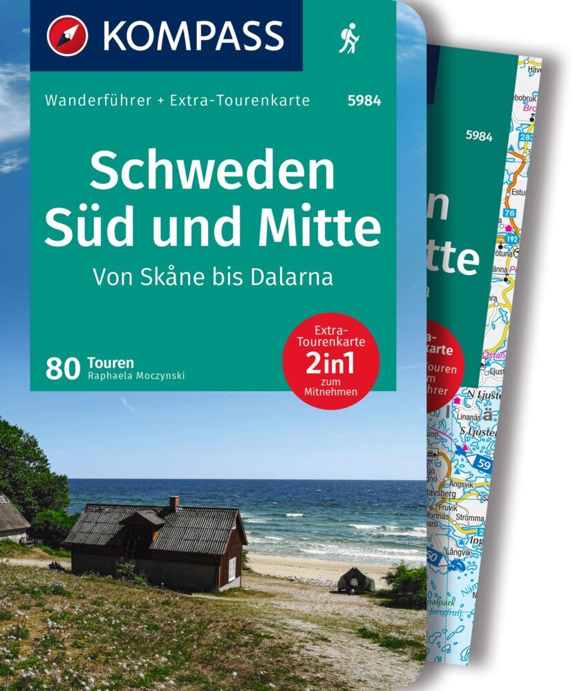
Guides and maps
Lodging
Organisations
Tour operators
GPS
Other
Books

Stanfords
United Kingdom
United Kingdom
- Istria Kompass 238
- Istria at 1:75,000 on a double-sided, waterproof and tear-resistant, detailed contoured map from Kompass, with hiking and cycling routes, street plans of 10 main towns, plus tourist information. Coverage extends north beyond the Croatian border to include Trieste and the coast of Slovenia. Contours at 50m intervals and spot heights present the... Read more
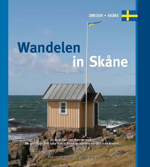
De Zwerver
Netherlands
2022
Netherlands
2022
Maps

Stanfords
United Kingdom
United Kingdom
- Central Rhodopes / Rodopi Geopsis 132
- Central Rhodopes Mountains on the border of north-eastern Greece and Bulgaria on a waterproof and tear-resistant, contoured and GPS compatible map from Geopsis highlighting nine recommended hiking trails and the local section of the E6 cross-Europe long-distance route. All place names are in both Greek and Latin alphabet, with several villages... Read more

Stanfords
United Kingdom
United Kingdom
- Eastern Rhodopes / Rodopi Geopsis 131
- Eastern Rhodopes Mountains on the border of north-eastern Greece and Bulgaria on a waterproof and tear-resistant, contoured and GPS compatible map from Geopsis highlighting nine recommended hiking trails and the local section of the E6 cross-Europe long-distance route. All place names are in both Greek and Latin alphabet, with several villages... Read more

Stanfords
United Kingdom
United Kingdom
- Western Rhodopes / Rodopi - Falakro Geopsis 133
- Central Rhodopes Mountains on the border of north-eastern Greece and Bulgaria on a waterproof and tear-resistant, contoured and GPS compatible map from Geopsis highlighting nine recommended hiking trails and the local section of the E6 cross-Europe long-distance route. All place names are in both Greek and Latin alphabet, with several villages... Read more

Stanfords
United Kingdom
2015
United Kingdom
2015
- Malaren
- This map of Malaren in 1:50,000 is part of a series of topographic maps from Norstedts Kartforlaget which includes 28 outdoor maps covering the mountain areas and popular recreation areas in southern Sweden. The maps in this series have a new look and are printed on a durable and water resistant paper. Cartography, material and printing quality... Read more

Stanfords
United Kingdom
United Kingdom
- Nässjö
- Topographic survey of Sweden at 1:100,000, the Vägkartan, from the Lantmäteriet, covering most of the country in 79 double-sided maps. Please note: the mountainous regions of central and northern Sweden are not covered by this series but presented in a separate “Fjällkartan - Mountain Map” series also listed on our website.Each 1:100,000... Read more
Stanfords
United Kingdom
United Kingdom
- Värnamo
- Topographic survey of Sweden at 1:100,000, the Vägkartan, from the Lantmäteriet, covering most of the country in 79 double-sided maps. Please note: the mountainous regions of central and northern Sweden are not covered by this series but presented in a separate “Fjällkartan - Mountain Map” series also listed on our website.Each 1:100,000... Read more

Stanfords
United Kingdom
United Kingdom
- Kattegattleden Cycle Route
- South-western Skåne Province Cycling Map in a series of 30 double-sided maps from Norstedts of the southern part of Sweden, printed on light, waterproof and tear-resistant synthetic paper. Mainland is covered at 1:90,000 with Gotland at 1:100,000.The maps, prepared in association with Cykelfrämjandet - Sweden’s largest national cycling... Read more
Stanfords
United Kingdom
United Kingdom
- Västervik
- Topographic survey of Sweden at 1:100,000, the Vägkartan, from the Lantmäteriet, covering most of the country in 79 double-sided maps. Please note: the mountainous regions of central and northern Sweden are not covered by this series but presented in a separate “Fjällkartan - Mountain Map” series also listed on our website.Each 1:100,000... Read more
Stanfords
United Kingdom
United Kingdom
- Oskarshamn
- Topographic survey of Sweden at 1:100,000, the Vägkartan, from the Lantmäteriet, covering most of the country in 79 double-sided maps. Please note: the mountainous regions of central and northern Sweden are not covered by this series but presented in a separate “Fjällkartan - Mountain Map” series also listed on our website.Each 1:100,000... Read more

Stanfords
United Kingdom
2015
United Kingdom
2015
- Stockholms Skargard Norstedts Outdoor 27
- This map of Stockholms Skargard in 1:50,000 is part of a series of topographic maps from Norstedts Kartforlaget which includes 28 outdoor maps covering the mountain areas and popular recreation areas in southern Sweden. The maps in this series have a new look and are printed on a durable and water resistant paper. Cartography, material and... Read more

Stanfords
United Kingdom
United Kingdom
- Gotland Norstedts Road Map
- Gotland at 1:100,000 on a double-sided road map from Norstedts with street plans of the island’s four main towns and brief descriptions of 48 places of interest, including fauna and flora and examples of local architecture, all cross-reference to the map.The map show the island’s road network, including small local roads (incorrectly translated... Read more

Stanfords
United Kingdom
2015
United Kingdom
2015
- Munkedal Lysekil Tjorn
- This map of Munkedal Lysekil Tjorn in 1:50,000 is part of a series of topographic maps from Norstedts Kartforlaget which includes 28 outdoor maps covering the mountain areas and popular recreation areas in southern Sweden. The maps in this series have a new look and are printed on a durable and water resistant paper. Cartography, material and... Read more

Stanfords
United Kingdom
2015
United Kingdom
2015
- Orskar Grisslehamn Furusund
- This map of Orskar Grisslehamn Furusund in 1:50,000 is part of a series of topographic maps from Norstedts Kartforlaget which includes 28 outdoor maps covering the mountain areas and popular recreation areas in southern Sweden. The maps in this series have a new look and are printed on a durable and water resistant paper. Cartography, material... Read more
Stanfords
United Kingdom
United Kingdom
- Uddevalla
- Topographic survey of Sweden at 1:100,000, the Vägkartan, from the Lantmäteriet, covering most of the country in 79 double-sided maps. Please note: the mountainous regions of central and northern Sweden are not covered by this series but presented in a separate “Fjällkartan - Mountain Map” series also listed on our website.Each 1:100,000... Read more
Stanfords
United Kingdom
United Kingdom
- Simrishamn
- Topographic survey of Sweden at 1:100,000, the Vägkartan, from the Lantmäteriet, covering most of the country in 79 double-sided maps. Please note: the mountainous regions of central and northern Sweden are not covered by this series but presented in a separate “Fjällkartan - Mountain Map” series also listed on our website.Each 1:100,000... Read more