
Arapho National Forest
Description
Trails in this region
Links
Facts
Reports
Guides and maps
Lodging
Organisations
Tour operators
GPS
Other
Books


The Book Depository
United Kingdom
United Kingdom
- Uphill Both Ways
- Hiking toward Happiness on the Colorado Trail Read more

The Book Depository
United Kingdom
United Kingdom
- What We Owe to Ourselves
- a 500-mile hike on the Colorado Trail Read more


The Book Depository
United Kingdom
United Kingdom
- Colorado Trail [map Pack Bundle]
- Topographic Map Guides; Trails Illustrated Maps Read more


- Also available from:
- Bol.com, Netherlands
- Bol.com, Belgium
Bol.com
Netherlands
Netherlands
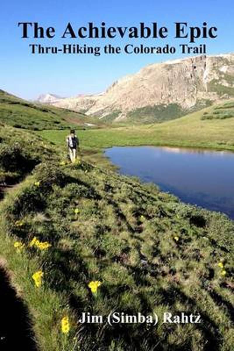
- The Achievable Epic
- Multiple Award Winner: 2015 Outdoor Writers of Ohio "Outstanding Media Achievement and Best Series of Photos."Inside many of us, there is a need, often suppressed, to accomplish something epic. For those that backpack, the dream is likely a thru-hike of the Appalachian Trail. Unfortunately, the reality is that spending six months on a hike is... Read more
Bol.com
Belgium
Belgium
- The Achievable Epic
- Multiple Award Winner: 2015 Outdoor Writers of Ohio "Outstanding Media Achievement and Best Series of Photos."Inside many of us, there is a need, often suppressed, to accomplish something epic. For those that backpack, the dream is likely a thru-hike of the Appalachian Trail. Unfortunately, the reality is that spending six months on a hike is... Read more

Bol.com
Netherlands
Netherlands
- Walking Distance
- Long-distance walking is good for you and good for the earth... But most of all, walking is a joyful celebration of life and the diverse, beautiful, and curious world in which we live. -from the Introduction Walking is simple, but it can also be profound. In an increasingly complex and frantic world, walking can simplify our lives. It... Read more
- Also available from:
- Bol.com, Belgium
Bol.com
Belgium
Belgium
- Walking Distance
- Long-distance walking is good for you and good for the earth... But most of all, walking is a joyful celebration of life and the diverse, beautiful, and curious world in which we live. -from the Introduction Walking is simple, but it can also be profound. In an increasingly complex and frantic world, walking can simplify our lives. It... Read more
Bol.com
Netherlands
Netherlands
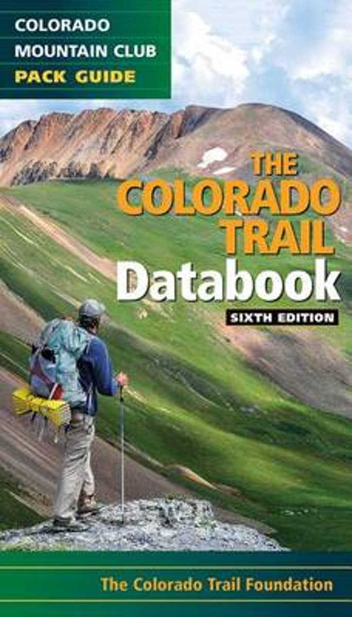
- Colorado Trail Databook, 6th Edition
- Here's the data that every Colorado Trail day hiker or thru-hiker will want with them on the route: trailheads, road crossings, trail intersections, stream crossings, water sources, campsite locations, viewpoints, elevation, and resupply towns. This sixth edition features up to date information on the new trail alignment of the Collegiate West... Read more
- Also available from:
- Bol.com, Belgium
Bol.com
Belgium
Belgium
- Colorado Trail Databook, 6th Edition
- Here's the data that every Colorado Trail day hiker or thru-hiker will want with them on the route: trailheads, road crossings, trail intersections, stream crossings, water sources, campsite locations, viewpoints, elevation, and resupply towns. This sixth edition features up to date information on the new trail alignment of the Collegiate West... Read more

Stanfords
United Kingdom
United Kingdom
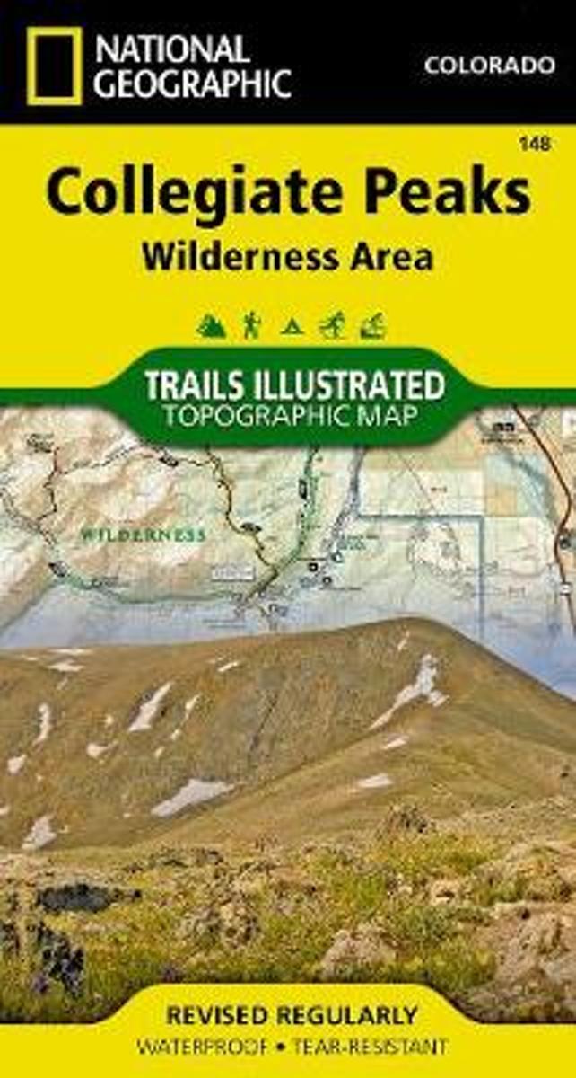
- Collegiate Peaks Wilderness CO
- Map No. 148, Collegiate Peaks Wildernes, CO, in an extensive series of GPS compatible, contoured hiking maps of USA’s national and state parks or forests and other popular recreational areas. Cartography based on the national topographic survey, with additional tourist information.The maps, with most titles now printed on light, waterproof and... Read more
- Also available from:
- Bol.com, Netherlands
- Bol.com, Belgium
Bol.com
Netherlands
Netherlands
- Collegiate Peaks Wilderness
- Waterproof Tear-Resistant Topographic MapNational Geographic's Trails Illustrated map of Collegiate Peaks Wilderness is a two-sided, waterproof map designed to meet the needs of outdoor enthusiasts with unmatched durability and detail. This map was created in conjunction with local land management agencies and is loaded with valuable... Read more
Bol.com
Belgium
Belgium
- Collegiate Peaks Wilderness
- Waterproof Tear-Resistant Topographic MapNational Geographic's Trails Illustrated map of Collegiate Peaks Wilderness is a two-sided, waterproof map designed to meet the needs of outdoor enthusiasts with unmatched durability and detail. This map was created in conjunction with local land management agencies and is loaded with valuable... Read more

Bol.com
Netherlands
Netherlands
- Day Hikes on the Colorado Trail
- A hike for everyone! Enjoy parts or all of the 469-mile trail through 7 national forests, 6 wilderness areas, 5 major river systems, and 8 mountain ranges. It runs from outside of Denver to Durango in south-western Colorado. Read more
- Also available from:
- Bol.com, Belgium
Bol.com
Belgium
Belgium
- Day Hikes on the Colorado Trail
- A hike for everyone! Enjoy parts or all of the 469-mile trail through 7 national forests, 6 wilderness areas, 5 major river systems, and 8 mountain ranges. It runs from outside of Denver to Durango in south-western Colorado. Read more

Bol.com
Netherlands
Netherlands
- An Ultralighter's True Trail Stories
- Book two in the Journey series, this volume is filled with stories and ultralight backpacking tips from Carol "Brawny" Wellman. Trail descriptions for the Pacific Crest Trail, Appalachian Trail, John Muir Trail, Continental Divide Trail, Colorado Trail, Vermont Trail, Bartram Trail, including trail guide, plus the Foothills Trail. Learn how to... Read more
- Also available from:
- Bol.com, Belgium
Bol.com
Belgium
Belgium
- An Ultralighter's True Trail Stories
- Book two in the Journey series, this volume is filled with stories and ultralight backpacking tips from Carol "Brawny" Wellman. Trail descriptions for the Pacific Crest Trail, Appalachian Trail, John Muir Trail, Continental Divide Trail, Colorado Trail, Vermont Trail, Bartram Trail, including trail guide, plus the Foothills Trail. Learn how to... Read more

- Also available from:
- Bol.com, Netherlands
- Bol.com, Belgium
Bol.com
Netherlands
Netherlands
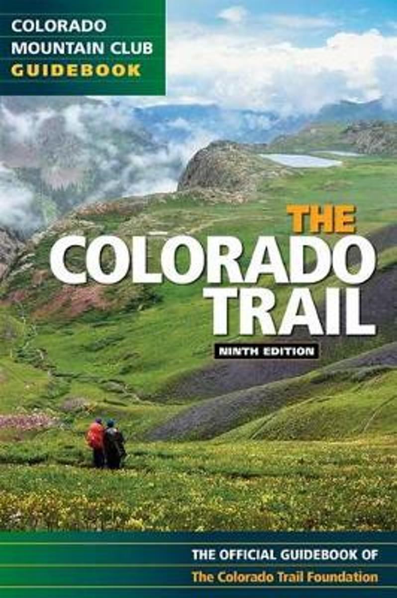
- The Colorado Trail
- Exploring all 468 miles of the Colorado Trail, this official guidebook is updated with the latest information on dozens of side trips, nearby towns, natural history, and safety considerations. Includes handy trip logs and full-color maps with GPS coordinates for each of the 28 segments. 86 color photos. Read more
Bol.com
Belgium
Belgium
- The Colorado Trail
- Exploring all 468 miles of the Colorado Trail, this official guidebook is updated with the latest information on dozens of side trips, nearby towns, natural history, and safety considerations. Includes handy trip logs and full-color maps with GPS coordinates for each of the 28 segments. 86 color photos. Read more
Maps

Stanfords
United Kingdom
United Kingdom
- Balaguer - el Monestir d`Avellanes - Camarasa - Ribera de Sió
- Topographic survey of Catalonia at 1:25,000 from the Institut Cartogràfic i Geològic de Catalunya, an attractive alternative to Spain’s national topographic survey at this scale, offering a much larger area per sheet with extensive tourist information and vivid presentation of vegetation and land use.These large, detailed maps have contours at... Read more
Stanfords
United Kingdom
United Kingdom
- Lleida - Pla de Raimat
- Topographic survey of Catalonia at 1:25,000 from the Institut Cartogràfic i Geològic de Catalunya, an attractive alternative to Spain’s national topographic survey at this scale, offering a much larger area per sheet with extensive tourist information and vivid presentation of vegetation and land use.These large, detailed maps have contours at... Read more
Stanfords
United Kingdom
United Kingdom
- Costa Brava Central: les Gavarres
- Topographic survey of Catalonia at 1:25,000 from the Institut Cartogràfic i Geològic de Catalunya, an attractive alternative to Spain’s national topographic survey at this scale, offering a much larger area per sheet with extensive tourist information and vivid presentation of vegetation and land use.These large, detailed maps have contours at... Read more

Stanfords
United Kingdom
United Kingdom
- El Pont de Suert
- Topographic survey of Catalonia at 1:25,000 from the Institut Cartogràfic i Geològic de Catalunya, an attractive alternative to Spain’s national topographic survey at this scale, offering a much larger area per sheet with extensive tourist information and vivid presentation of vegetation and land use.These large, detailed maps have contours at... Read more
Stanfords
United Kingdom
United Kingdom
- Montsec d’Ares - Congost de Mont-rebei
- Topographic survey of Catalonia at 1:25,000 from the Institut Cartogràfic i Geològic de Catalunya, an attractive alternative to Spain’s national topographic survey at this scale, offering a much larger area per sheet with extensive tourist information and vivid presentation of vegetation and land use.These large, detailed maps have contours at... Read more
Stanfords
United Kingdom
United Kingdom
- Fraga - Baix Segre
- Topographic survey of Catalonia at 1:25,000 from the Institut Cartogràfic i Geològic de Catalunya, an attractive alternative to Spain’s national topographic survey at this scale, offering a much larger area per sheet with extensive tourist information and vivid presentation of vegetation and land use.These large, detailed maps have contours at... Read more
Stanfords
United Kingdom
United Kingdom
- Tàrrega - Plana d`Urgell
- Topographic survey of Catalonia at 1:25,000 from the Institut Cartogràfic i Geològic de Catalunya, an attractive alternative to Spain’s national topographic survey at this scale, offering a much larger area per sheet with extensive tourist information and vivid presentation of vegetation and land use.These large, detailed maps have contours at... Read more
Stanfords
United Kingdom
United Kingdom
- Alta Garrotxa - la Muga
- Topographic survey of Catalonia at 1:25,000 from the Institut Cartogràfic i Geològic de Catalunya, an attractive alternative to Spain’s national topographic survey at this scale, offering a much larger area per sheet with extensive tourist information and vivid presentation of vegetation and land use.These large, detailed maps have contours at... Read more
Stanfords
United Kingdom
United Kingdom
- Berga - Rasos de Peguera - Gironella - Casserres - Puig-reig
- Topographic survey of Catalonia at 1:25,000 from the Institut Cartogràfic i Geològic de Catalunya, an attractive alternative to Spain’s national topographic survey at this scale, offering a much larger area per sheet with extensive tourist information and vivid presentation of vegetation and land use.These large, detailed maps have contours at... Read more
Stanfords
United Kingdom
United Kingdom
- Puigcerda Llavia la Tossa d`Alp
- Topographic survey of Catalonia at 1:25,000 from the Institut Cartogràfic i Geològic de Catalunya, an attractive alternative to Spain’s national topographic survey at this scale, offering a much larger area per sheet with extensive tourist information and vivid presentation of vegetation and land use.These large, detailed maps have contours at... Read more
Stanfords
United Kingdom
United Kingdom
- Les Borges Blanques
- Topographic survey of Catalonia at 1:25,000 from the Institut Cartogràfic i Geològic de Catalunya, an attractive alternative to Spain’s national topographic survey at this scale, offering a much larger area per sheet with extensive tourist information and vivid presentation of vegetation and land use.These large, detailed maps have contours at... Read more
Stanfords
United Kingdom
United Kingdom
- Amposta - Pla de la Galera - Montsià - Riu de la Sénia
- Topographic survey of Catalonia at 1:25,000 from the Institut Cartogràfic i Geològic de Catalunya, an attractive alternative to Spain’s national topographic survey at this scale, offering a much larger area per sheet with extensive tourist information and vivid presentation of vegetation and land use.These large, detailed maps have contours at... Read more
Stanfords
United Kingdom
United Kingdom
- Vielha - Baish Aran - Mijaran - Naut Aran
- Topographic survey of Catalonia at 1:25,000 from the Institut Cartogràfic i Geològic de Catalunya, an attractive alternative to Spain’s national topographic survey at this scale, offering a much larger area per sheet with extensive tourist information and vivid presentation of vegetation and land use.These large, detailed maps have contours at... Read more
Stanfords
United Kingdom
United Kingdom
- L`Albera Natural Park
- Topographic survey of Catalonia at 1:25,000 from the Institut Cartogràfic i Geològic de Catalunya, an attractive alternative to Spain’s national topographic survey at this scale, offering a much larger area per sheet with extensive tourist information and vivid presentation of vegetation and land use.These large, detailed maps have contours at... Read more
Stanfords
United Kingdom
United Kingdom
- La Seu d’Urgell - PN de l’Alt Pirineu
- Topographic survey of Catalonia at 1:25,000 from the Institut Cartogràfic i Geològic de Catalunya, an attractive alternative to Spain’s national topographic survey at this scale, offering a much larger area per sheet with extensive tourist information and vivid presentation of vegetation and land use.These large, detailed maps have contours at... Read more