
Kentucky
Description
The central state of Kentucky offers good hiking in the Daniel Boone National Forest, with mountains and many natural beauties like canyons, sandstone cliffs, lakes, creeks and waterfalls.
Two fine trails here are the Sheltowee Trace Trail, 269 miles, and the Jenny Wiley Trail, 180 miles. Through Kentucky run part of the American Discovery Trail and the Great Eastern Trail.
Map

Trails in this state
Links
Facts
Reports
Guides and maps
Lodging
Organisations
Tour operators
GPS
Other
Books

Stanfords
United Kingdom
2021
United Kingdom
2021
- DK Eyewitness England`s South Coast
- Windswept cliffs, breathtaking beaches, and vibrant cities: welcome to the stunning south of England.Whether you want to relax on the sandy shores of Cornwall, wander around London`s famous museums or browse vintage shops in Brighton, your DK Eyewitness travel guide makes sure you experience all that this region has to offer.England`s South... Read more
Stanfords
United Kingdom
United Kingdom
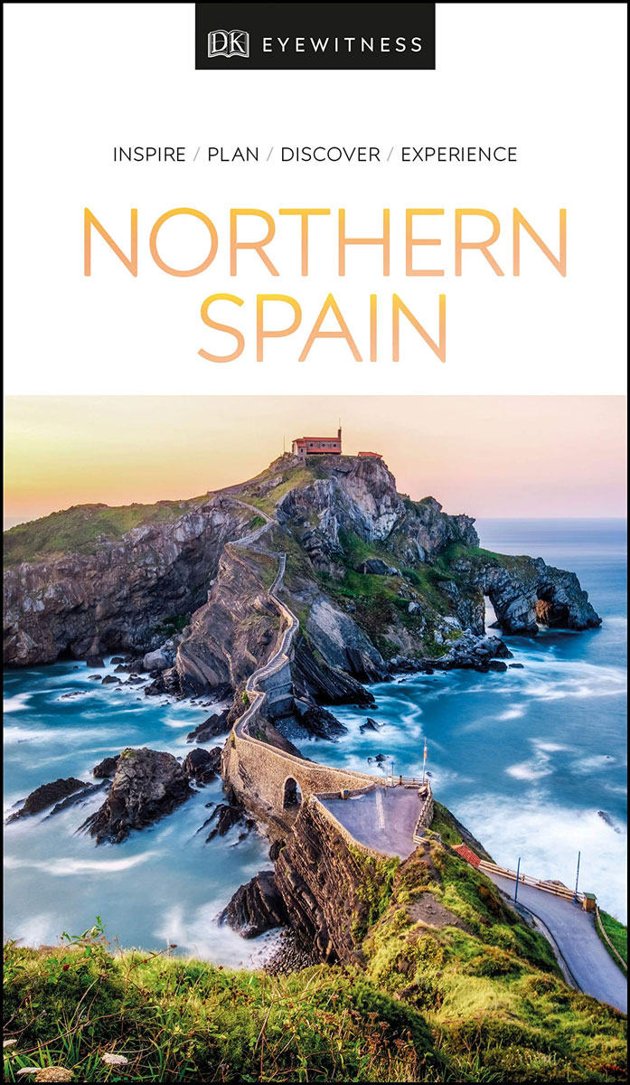
- DK Eyewitness Northern Spain
- Your journey starts here. Featuring DK`s much-loved maps and illustrations, walks and information, plus all new, full-colour photography, this 100% updated guide to Northern Spain brings you the best of this stunning Spanish region in a brand-new, lightweight format. What`s inside? - full-colour photography, hand-drawn illustrations, and maps... Read more

Stanfords
United Kingdom
United Kingdom
- DK Eyewitness Paris
- Discover Paris - a city synonymous with art, fashion, gastronomy, and culture.Whether you want to be awed by iconic landmarks, lose yourself in the Louvre, or stroll along the Seine, your DK Eyewitness travel guide makes sure you experience all that Paris has to offer.Paris is a treasure trove of things to see and do. Packed full of... Read more

Stanfords
United Kingdom
United Kingdom
- DK Eyewitness Naples and the Amalfi Coast
- Discover a city that has stood the test of time.Whether you want to immerse yourself in the past at Pompeii and Herculaneum, relax with an alfresco drink by the turquoise waters of Capri or take a dip in Ischia`s thermal spas, your DK Eyewitness travel guide makes sure you experience all that Naples and the Amalfi Coast have to offer.One of the... Read more

Stanfords
United Kingdom
United Kingdom
- Shadowplay - Longlisted for the 2020 Walter Scott Prize for Historical Ficiton
- Longlisted for the 2020 Walter Scott Prize for Historical FictionShortlisted for the Costa Novel Award 2019Winner of the Irish Book Awards Novel of the Year”Breathtaking... A hugely entertaining book about the grand scope of friendship and love” GuardianLondon, 1878. Fresh from life in Dublin, Bram Stoker – now manager of the Lyceum Theatre –... Read more

Stanfords
United Kingdom
United Kingdom
- Rick Steves Best of Europe (Third Edition)
- Hit Europe`s can`t-miss art, sights, and bites with Rick Steves Best of Europe!* Expert advice from Rick Steves on what`s worth your time and money* Itineraries for one to four days in the top destinations in England, France, Germany, Italy, the Netherlands, Spain, and Switzerland* Rick`s tips for beating the crowds, skipping lines, and... Read more

Stanfords
United Kingdom
United Kingdom
- Athens: The Monocle Travel Guide Series
- Get to know the most atmospheric open-air cinemas and drawn up walks around Athens` neighborhoods -- one a leafy suburb, another by the sea. Think of Athens and the first things that spring to mind are ancient ruins and camera-toting crowds (before they hotfoot it to the island-bound ferries at the port of Piraeus, that is). It`s true, the... Read more

Stanfords
United Kingdom
United Kingdom
- New York Theatre Walks
- This outstanding volume provides readers with seven self-guided tours, not just of New York`s theatre district, but also the East and West Village, the Lower East Side, and the Upper West Side. ”New York Theatre Walks” abounds in amusing, and insightful Broadway anecdotes, as well as giving the reader a sense of the city`s own complex, rich... Read more

Stanfords
United Kingdom
2013
United Kingdom
2013
- Cyprus: Car Tours and Walks
- Cyprus is the Sunflower Landscapes guide to exploring the best walking and touring possibilities in the Greek part of the island. The guide covers a range of routes including walks in the Troodos Mountains and the Akamas Peninsula, around Pafos, Lemesos and Larnaka. A double-sided, fold-out touring map gives an overview of the island and the... Read more

Stanfords
United Kingdom
United Kingdom
- DK Eyewitness Travel Guide Costa Rica
- Your journey starts here. We`ve reimagined and updated our iconic DK Eyewitness travel guides. This brand new Costa Rica guide, now in a lightweight format, has been expertly curated with all new photography plus DK`s much-loved illustrations and maps. - Gorgeous, all-new colour photography so you can imagine yourself there- Reasons to love... Read more

Stanfords
United Kingdom
United Kingdom
- Costa Rica Eyewitness
- Welcome to Costa Rica - unmatched in beauty and biodiversityWhether you want to experience incredible wildlife, scuba dive in crystal-clear waters or savour a cup of world-famous coffee, your DK Eyewitness travel guide makes sure you experience all that Costa Rica has to offer. Inside you`ll find a detailed guide to the country`s animals,... Read more

Stanfords
United Kingdom
United Kingdom
- Coast - The Walks
- Accompanying BBC2`s BAFTA award-winning television series, ”Coast: The Walks” will inspire you to explore the best that the coastline of the British Isles has to offer. With more than 50 fantastic walks around Great Britain and Ireland, this practical guidebook features a variety of town and rural routes that are designed to suit both... Read more

Stanfords
United Kingdom
United Kingdom
- DK Eyewitness Budapest
- Exuding a fin-de-siecle elegance, Budapest is two cities for the price of one.Whether you want to take a dip in mineral-rich thermal baths, step back in time on the cobbled streets of Castle Hill or enjoy ca drink in the city`s ruin pubs, your DK Eyewitness travel guide makes sure you experience all that Budapest has to offer.Gazing at each... Read more

Stanfords
United Kingdom
United Kingdom
- Dublin Marco Polo Pocket Travel Guide 2019 - with pull out map
- Marco Polo Pocket Guide Dublin: the Travel Guide with Insider TipsExplore Dublin with this handy, pocket-sized, authoritative guide, packed with Insider Tips. Discover boutique hotels, authentic restaurants, the city`s trendiest places, and get tips on shopping and what to do on a limited budget. There are plenty of ideas for travel with kids,... Read more

Stanfords
United Kingdom
United Kingdom
- Middlesex and West London - Waterside Walks
- Waterside Walks in Middlesex and West London by David and Rosemary Hall presents a selection of twenty circular walks that take in some part of a local waterway. These include the rivers Thames and Colne, the Staines Reservoirs, Dollis Brook and the Grand Union Canal. The twenty routes in this book are all between 3 to 7 miles. Each walk is... Read more
Maps

Stanfords
United Kingdom
United Kingdom
- Lamsun
- Lamsun, sheet no. 2883-06, in the topographic survey of Nepal at 1:50,000 published by the Nepali Government in the late 1990s and early 2000s and produced from remote sensing data by Finnish cartographers as part of that country’s international aid program. The maps cover 15’ x 15’ quadrangles.IMPORTANT – PLEASE NOTE BEFORE ORDERING:... Read more
Stanfords
United Kingdom
United Kingdom
- Namche Bazar
- Namche Bazar, sheet no. 2786-03, in the topographic survey of Nepal at 1:50,000 published by the Nepali Government in the late 1990s and early 2000s and produced from remote sensing data by Finnish cartographers as part of that country’s international aid program. The maps cover 15’ x 15’ quadrangles.IMPORTANT – PLEASE NOTE BEFORE ORDERING:... Read more
Stanfords
United Kingdom
United Kingdom
- Sarmi
- Sarmi, sheet no. 2982-14, in the topographic survey of Nepal at 1:50,000 published by the Nepali Government in the late 1990s and early 2000s and produced from remote sensing data by Finnish cartographers as part of that country’s international aid program. The maps cover 15’ x 15’ quadrangles.IMPORTANT – PLEASE NOTE BEFORE ORDERING:... Read more
Stanfords
United Kingdom
United Kingdom
- Dadapakhar
- Dadapakhar, sheet no. 2785-08, in the topographic survey of Nepal at 1:50,000 published by the Nepali Government in the late 1990s and early 2000s and produced from remote sensing data by Finnish cartographers as part of that country’s international aid program. The maps cover 15’ x 15’ quadrangles.IMPORTANT – PLEASE NOTE BEFORE ORDERING:... Read more
Stanfords
United Kingdom
United Kingdom
- Nanikot
- Nanikot, sheet no. 2981-11, in the topographic survey of Nepal at 1:50,000 published by the Nepali Government in the late 1990s and early 2000s and produced from remote sensing data by Finnish cartographers as part of that country’s international aid program. The maps cover 15’ x 15’ quadrangles.IMPORTANT – PLEASE NOTE BEFORE ORDERING:... Read more
Stanfords
United Kingdom
United Kingdom
- Kimathanka
- Kimathanka, sheet no. 2787-02, in the topographic survey of Nepal at 1:50,000 published by the Nepali Government in the late 1990s and early 2000s and produced from remote sensing data by Finnish cartographers as part of that country’s international aid program. The maps cover 15’ x 15’ quadrangles.IMPORTANT – PLEASE NOTE BEFORE ORDERING:... Read more
Stanfords
United Kingdom
United Kingdom
- Khalanga Baja (Darchula)
- Khalanga Baja (Darchula), sheet no. 2980-03 / 3080-15, in the topographic survey of Nepal at 1:50,000 published by the Nepali Government in the late 1990s and early 2000s and produced from remote sensing data by Finnish cartographers as part of that country’s international aid program. The maps cover 15’ x 15’ quadrangles.IMPORTANT – PLEASE... Read more
Stanfords
United Kingdom
United Kingdom
- Simi
- Simi, sheet no. 2884-11, in the topographic survey of Nepal at 1:50,000 published by the Nepali Government in the late 1990s and early 2000s and produced from remote sensing data by Finnish cartographers as part of that country’s international aid program. The maps cover 15’ x 15’ quadrangles.IMPORTANT – PLEASE NOTE BEFORE ORDERING:... Read more
Stanfords
United Kingdom
United Kingdom
- Damodar Himal
- Damodar Himal, sheet no. 2884-01, in the topographic survey of Nepal at 1:50,000 published by the Nepali Government in the late 1990s and early 2000s and produced from remote sensing data by Finnish cartographers as part of that country’s international aid program. The maps cover 15’ x 15’ quadrangles.IMPORTANT – PLEASE NOTE BEFORE ORDERING:... Read more

Stanfords
United Kingdom
United Kingdom
- Berlin High 5 Edition Street Plan
- The first water-resistant “Comfort Map“ with direct access to useful additional information from the InternetBerlin in a scale of 1:20,000 presented on a practical map; inclusive of the High 5 Edition app technology for calling up additional travel information and many other benefits:- just the right size - 9.6 x 16.1 cm - to fit comfortably... Read more
Stanfords
United Kingdom
United Kingdom
- Tilicho
- Tilicho, sheet no. 2883-08, in the topographic survey of Nepal at 1:50,000 published by the Nepali Government in the late 1990s and early 2000s and produced from remote sensing data by Finnish cartographers as part of that country’s international aid program. The maps cover 15’ x 15’ quadrangles.IMPORTANT – PLEASE NOTE BEFORE ORDERING:... Read more
Stanfords
United Kingdom
United Kingdom
- Hatiya
- Hariya, sheet no. 2787-06, in the topographic survey of Nepal at 1:50,000 published by the Nepali Government in the late 1990s and early 2000s and produced from remote sensing data by Finnish cartographers as part of that country’s international aid program. The maps cover 15’ x 15’ quadrangles.IMPORTANT – PLEASE NOTE BEFORE ORDERING:... Read more
Stanfords
United Kingdom
United Kingdom
- Dho
- Dho, sheet no. 2983-13, in the topographic survey of Nepal at 1:50,000 published by the Nepali Government in the late 1990s and early 2000s and produced from remote sensing data by Finnish cartographers as part of that country’s international aid program. The maps cover 15’ x 15’ quadrangles.IMPORTANT – PLEASE NOTE BEFORE ORDERING:... Read more
Stanfords
United Kingdom
United Kingdom
- Lamabagar
- Lamabagar, sheet no. 2786-01, in the topographic survey of Nepal at 1:50,000 published by the Nepali Government in the late 1990s and early 2000s and produced from remote sensing data by Finnish cartographers as part of that country’s international aid program. The maps cover 15’ x 15’ quadrangles.IMPORTANT – PLEASE NOTE BEFORE ORDERING:... Read more
Stanfords
United Kingdom
United Kingdom
- Ganesh Himal 2885-09
- Ganesh Himal, sheet no. 2885-09, in the topographic survey of Nepal at 1:50,000 published by the Nepali Government in the late 1990s and early 2000s and produced from remote sensing data by Finnish cartographers as part of that country’s international aid program. The maps cover 15’ x 15’ quadrangles.IMPORTANT – PLEASE NOTE BEFORE ORDERING:... Read more