
Virginia
Description
Virginia, on the Atlantic Ocean, hosts a large part of the Appalachian Trail, some 550 miles.
Other lengthy long distance trails passing through Virginia are the East Coast Greenway, the Eastern Continental Trail and the Great Eastern Trail.
The Tuscarora Trail is 252 miles long, and besides Virginia, it runs across Maryland, Pennsylvania and West Virginia. Also with West Virginia, it shares the Allegheny Trail, 330 miles.
Parks of interest for hiking are the Shenandoah National Park and Jefferson National Forest, both in the Blue Ridge Mountains, and the Washington National Forest.
Map

Trails in this state
Links
Facts
Reports
Guides and maps
Lodging
Organisations
Tour operators
GPS
Other
Books

Stanfords
United Kingdom
United Kingdom
- DK Eyewitness Travel Guide London
- Find your corner of London with this essential travel guide to this great city, designed to help you create your own unique trip and to transport you there before you`ve even packed your case - step back in time at the Tower of London and the British Museum, get a bird`s eye view of London from the Shard, or relax in Hyde Park. The DK... Read more

Stanfords
United Kingdom
United Kingdom
- DK Eyewitness Sardinia 14/5/20
- An atmospheric island bursting with history, culture and natural beauty.Whether you want to hike across rugged mountains, spot flamingoes near Cagliari or simply sip a glass of Cannonau overlooking the sparkling turquoise waters of the mediterranean, your DK Eyewitness travel guide makes sure you experience all that Sardinia has to offer.... Read more

Stanfords
United Kingdom
United Kingdom
- DK Eyewitness Germany
- Discover Germany - a haven for art aficionados and outdoor enthusiasts alike.Whether you want to hike the Bavarian Alps, discover health resorts and beautiful beaches on the Baltic coast, or seek out the coolest districts in Berlin, your DK Eyewitness travel guide makes sure you experience all that Germany has to offer.Synonymous with art and... Read more

Stanfords
United Kingdom
United Kingdom
- Insight Guides Great Breaks Edinburgh
- Pocket-sized travel guides making the most of the British Isles through clearly laid-out walks and tours. Now with free eBook.Explore the best of Edinburgh with this indispensably practical Insight Great Breaks Guide. From making sure you don`t miss out on must-see attractions like Edinburgh Castle, the Scottish National Gallery, the Royal... Read more

Stanfords
United Kingdom
United Kingdom
- Rick Steves Pocket Athens (Third Edition)
- Make the most of every day and every dollar with Rick Steves! This colorful, compact guidebook is perfect for spending a week or less in Athens: *City walks and tours: Six detailed tours and walks showcase Athens`s essential sights, including the Acropolis, a tour of the Ancient Agora, the National Archaeological Museum, and more *Rick`s... Read more

Stanfords
United Kingdom
United Kingdom
- DK Eyewitness Travel Guide Cambodia and Laos
- Admire Siem Reap`s awe-inspiring Angkor Wat, sample French-Lao cuisine at Luang Prabang`s waterfront restaurants or take a boat down the Mekong and stop off at the stunning islands of Si Phan Don. This DK Eyewitness Guide covers the all the must-see sights and hidden backstreets, so you won`t miss a thing.- See Cambodia and Laos from a... Read more

Stanfords
United Kingdom
2021
United Kingdom
2021
- DK Eyewitness Florence and Tuscany
- Divine cuisine and spectacular art await in Florence and TuscanyWhether you want to sample delicious Tuscan food and wine, gaze at the iconic Leaning Tower of Pisa or browse eclectic markets in Florence, your DK Eyewitness travel guide makes sure you experience all that this region has to offer.The birthplace of the Renaissance, Florence is... Read more

Stanfords
United Kingdom
United Kingdom
- Shadowplay - Longlisted for the 2020 Walter Scott Prize for Historical Ficiton
- Longlisted for the 2020 Walter Scott Prize for Historical FictionShortlisted for the Costa Novel Award 2019Winner of the Irish Book Awards Novel of the Year”Breathtaking... A hugely entertaining book about the grand scope of friendship and love” GuardianLondon, 1878. Fresh from life in Dublin, Bram Stoker – now manager of the Lyceum Theatre –... Read more

Stanfords
United Kingdom
United Kingdom
- Frommer`s New Orleans Day by Day
- Packed with color photos, this bestselling guide offers itineraries that show you how to see the best of the New Orleans in a short time--with bulleted maps that lead the way from sight to sight. Featuring a full range of area and thematic tours, plus dining, lodging, shopping, nightlife, and practical visitor info, Frommer`s New Orleans day by... Read more

Stanfords
United Kingdom
2021
United Kingdom
2021
- DK Eyewitness France
- Discover France`s special je ne sais quoiWhether you want to visit fairytale chateaux, stroll amid rolling fields of blossoming lavender or learn what makes a noble vintage, your DK Eyewitness travel guide makes sure you experience all that France has to offer.Few countries capture the imagination quite like France. The world-famous cuisine is... Read more

Stanfords
United Kingdom
United Kingdom
- DK Eyewitness Norway
- Epic and idyllic, Norway is a country of contrasts.Whether you want to hike around the ”Home of the Giants” in Jotunheimen, hit the slopes at Hafjell or hunker down in a cosy cafe in Oslo, your DK Eyewitness travel guide makes sure you experience all that Norway has to offer.With its dramatic coastline, unspoiled mountain ranges and phenomenal... Read more

Stanfords
United Kingdom
United Kingdom
- DK Eyewitness Sicily
- Your journey starts here. Featuring DK`s much-loved maps and illustrations, walks and information, plus all new, full-colour photography, this 100% updated guide to Sicily brings you the best of this beautiful island in a brand-new, lightweight format.What`s inside?- full-colour photography, hand-drawn illustrations, and maps throughout-... Read more

Stanfords
United Kingdom
United Kingdom
- DK Eyewitness Switzerland
- Discover Switzerland - a country small in size, but big on experience.Whether you want to hit the slopes, join the Swiss in their national pastime of hut-to-hut hiking, or take a scenic railway journey to remember, your DK Eyewitness travel guide makes sure you experience all that Switzerland has to offer.Full of magical sights and exhilarating... Read more

Stanfords
United Kingdom
2019
United Kingdom
2019
- DK Eyewitness Travel Guide India
- Your journey starts here. Featuring DK`s much-loved maps and illustrations, walks and information, plus all new, full-colour photography, this 100% updated guide to India brings you the best of this truly incredible country in a brand-new, lightweight format.- full-colour photography, hand-drawn illustrations, and maps throughout-... Read more

Stanfords
United Kingdom
2014
United Kingdom
2014
- Lesvos: Car Tours and Walks
- Lesvos is the Sunflower Landscapes guide to exploring the best walking and touring possibilities on the island. The guide covers a range of routes including walks in Loutra, Agiassos, Skamnioudi and an ascent of Mount Olympos. A double-sided, fold-out touring map of Lesvos gives an overview of the island and the locations of each walk. Detailed... Read more
Maps

- Also available from:
- De Zwerver, Netherlands


The Book Depository
United Kingdom
2018
United Kingdom
2018
- Ben Nevis and Glen Coe
- Waterproof mountain map of Ben Nevis & Glen Coe from Harvey at 1:40,000, with a geological map of the region on the reverse, an enlargement of Ben Nevis' summit, and advice on navigating the region safely.MAIN MAP: Topography is shown through clear altitude shading, spot heights, contours at 15m intervals, and index contours at 75m intervals. A... Read more
- Also available from:
- De Zwerver, Netherlands

De Zwerver
Netherlands
2018
Netherlands
2018
- Wandelkaart Ben Nevis & Glen Coe | Harvey Maps
- Waterproof mountain map of Ben Nevis & Glen Coe from Harvey at 1:40,000, with a geological map of the region on the reverse, an enlargement of Ben Nevis' summit, and advice on navigating the region safely.MAIN MAP: Topography is shown through clear altitude shading, spot heights, contours at 15m intervals, and index contours at 75m intervals. A... Read more
Bol.com
Netherlands
Netherlands
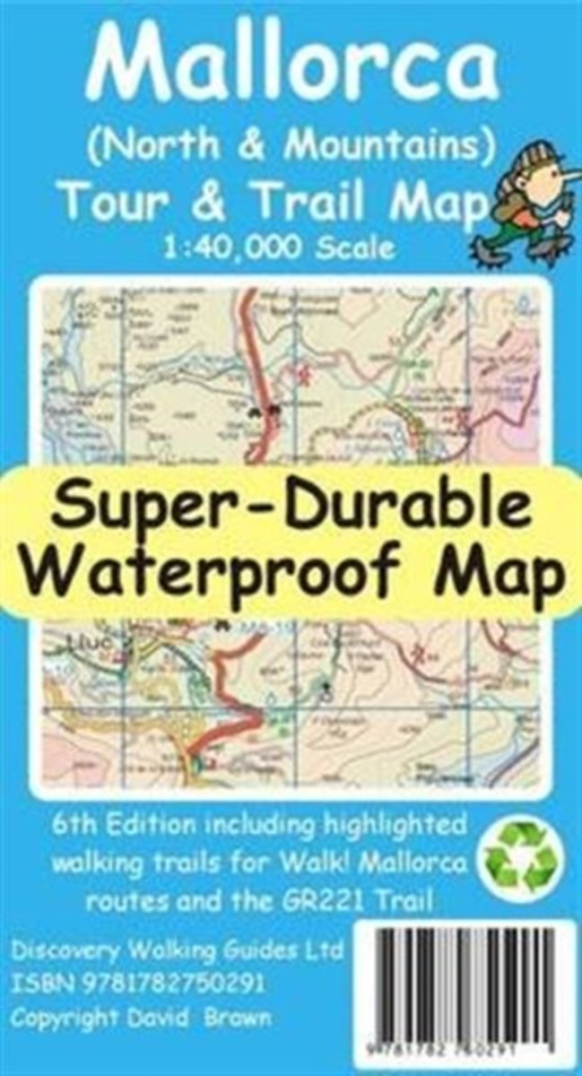
- Mallorca North & Mountains Tour & Trail Super-Durable Map
- Fully detailed Mallorca adventures with our new Mallorca North & Mountains Tour & Trail Super-Durable Map 6th edition by David Brawn and Walk! Mallorca guide book by Charles Davis. Our new 6th edition gives you a super detailed, up to date, map of the Tramuntana region stretching from Peguera-Costa Calma- Santa Ponca in the west then running... Read more
- Also available from:
- Bol.com, Belgium
Bol.com
Belgium
Belgium
- Mallorca North & Mountains Tour & Trail Super-Durable Map
- Fully detailed Mallorca adventures with our new Mallorca North & Mountains Tour & Trail Super-Durable Map 6th edition by David Brawn and Walk! Mallorca guide book by Charles Davis. Our new 6th edition gives you a super detailed, up to date, map of the Tramuntana region stretching from Peguera-Costa Calma- Santa Ponca in the west then running... Read more

Stanfords
United Kingdom
United Kingdom
- Green Mountain National Forest - Moosalamoo NRA - Rutland VT
- Map No. 747, Green Mountain National Forest: Moosalamoo NRA - Rutland area in Vermont, in an extensive series of GPS compatible, contoured hiking maps of USA’s national and state parks or forests and other popular recreational areas. Cartography based on the national topographic survey, with additional tourist information.The maps, with most... Read more
- Also available from:
- The Book Depository, United Kingdom
- Bol.com, Netherlands
- Bol.com, Belgium
- De Zwerver, Netherlands

The Book Depository
United Kingdom
United Kingdom
- Green Mountains N.f., Moosalamoo Nra/rutland
- Trails Illustrated Other Rec. Areas Read more

Bol.com
Netherlands
Netherlands
- Green Mountains N.F., Moosalamoo NRA/Rutland
- Waterproof Tear-Resistant Topographic MapNational Geographic's Green Mountain National Forest North Trails Illustrated topographic map is the most comprehensive available for outdoor enthusiasts of all types. Designed to be easy-to-read, yet highly detailed this map includes a comprehensive road and trail network distinguishing between... Read more
Bol.com
Belgium
Belgium
- Green Mountains N.F., Moosalamoo NRA/Rutland
- Waterproof Tear-Resistant Topographic MapNational Geographic's Green Mountain National Forest North Trails Illustrated topographic map is the most comprehensive available for outdoor enthusiasts of all types. Designed to be easy-to-read, yet highly detailed this map includes a comprehensive road and trail network distinguishing between... Read more

De Zwerver
Netherlands
Netherlands
- Wandelkaart - Topografische kaart 747 Green Mountain National Forest North - Moosalamoo NRA - Rutland | National Geographic
- Prachtige geplastificeerde kaart van het bekende nationaal park. Met alle recreatieve voorzieningen als campsites, maar ook met topografische details en wandelroutes ed. Door uitgekiend kleurgebruik zeer prettig in gebruik. Scheur en watervast! National Geographic's Green Mountain National Forest North Trails Illustrated topographic map is... Read more

Ordnance Survey
United Kingdom
United Kingdom
- ST&G's ST&G's Ludicrously Moreish Great British Food Map
- The Cheesiest map of Great Britain, brought to you by ST&G. Bursting full of over 2,000 food and drink locations, with a generous taste of trivia, this map will have you lusting after the variety of cuisine the Isles have to offer. Between Paddington's famous marmalade sandwiches to sandy seaside picnics, Britain has had a strange love affair... Read more
- Also available from:
- Ordnance Survey , United Kingdom

Ordnance Survey
United Kingdom
United Kingdom
- ST&G's ST&G's Ludicrously Moreish Great British Food Map
- The Cheesiest map of Great Britain, brought to you by ST&G. Bursting full of over 2,000 food and drink locations, with a generous taste of trivia, this map will have you lusting after the variety of cuisine the Isles have to offer. Between Paddington's famous marmalade sandwiches to sandy seaside picnics, Britain has had a strange love affair... Read more

Stanfords
United Kingdom
United Kingdom
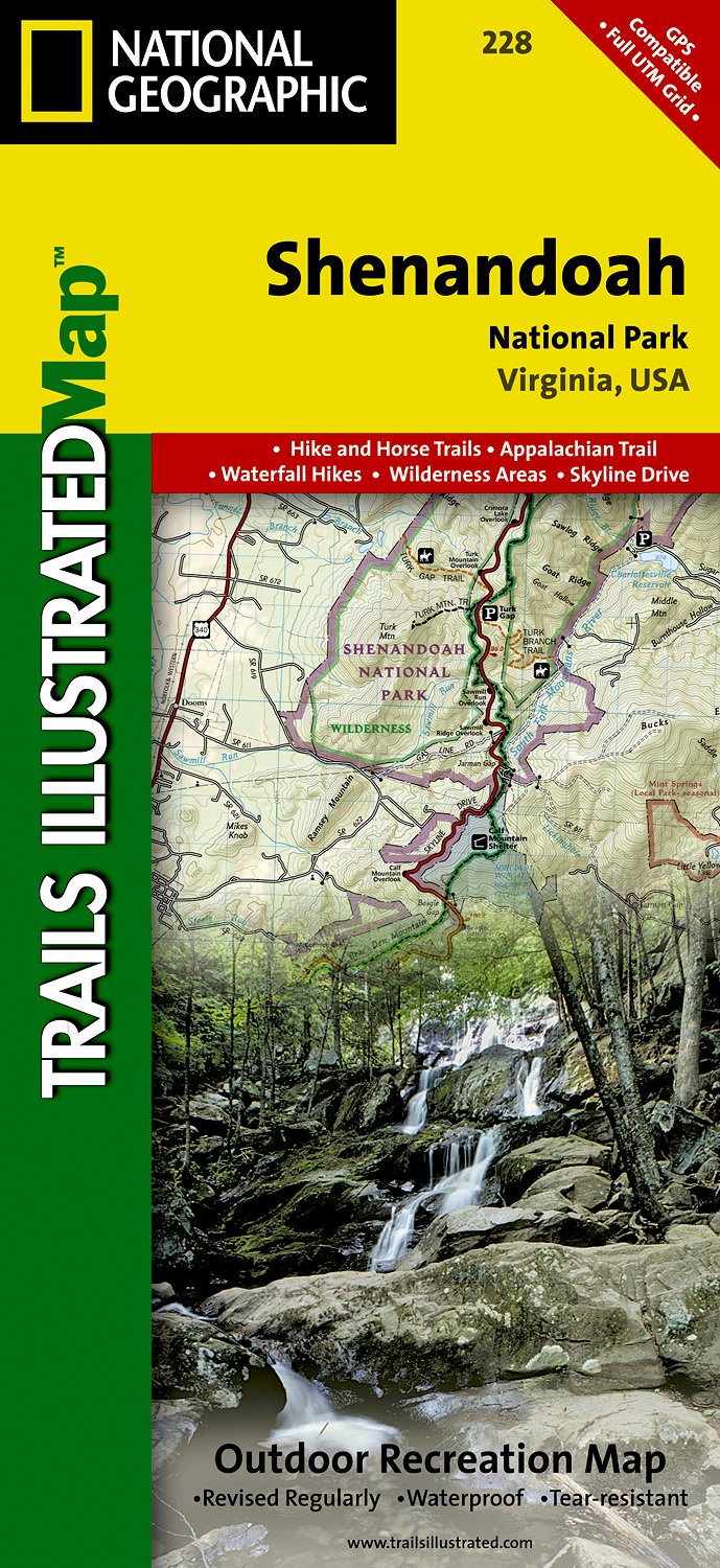
- Shenandoah National Park VA NGS Trails Illustrated Map 228
- Map No. 228, Shenandoah National Park, VA, in an extensive series of GPS compatible, contoured hiking maps of USA’s national and state parks or forests and other popular recreational areas. Cartography based on the national topographic survey, with additional tourist information.The maps, with most titles now printed on light, waterproof and... Read more
- Also available from:
- The Book Depository, United Kingdom
- Bol.com, Netherlands
- Bol.com, Belgium
- De Zwerver, Netherlands

The Book Depository
United Kingdom
United Kingdom
- Shenandoah National Park
- Trails Illustrated National Parks Read more

Bol.com
Netherlands
Netherlands
- Shenandoah National Park
- Waterproof Tear-Resistant Topographic MapExpertly researched and created in partnership with local land management agencies, National Geographic's Trails Illustrated map of Shenandoah National Park provides an unparalleled tool for exploring this beautiful park. Particular attention is shown to camping, hiking, fishing, ranger programs,... Read more
Bol.com
Belgium
Belgium
- Shenandoah National Park
- Waterproof Tear-Resistant Topographic MapExpertly researched and created in partnership with local land management agencies, National Geographic's Trails Illustrated map of Shenandoah National Park provides an unparalleled tool for exploring this beautiful park. Particular attention is shown to camping, hiking, fishing, ranger programs,... Read more
De Zwerver
Netherlands
Netherlands
- Wandelkaart - Topografische kaart 228 Shenandoah National Park | National Geographic
- Prachtige geplastificeerde kaart van het nationaal park. Met alle recreatieve voorzieningen als campsites, maar ook met topografische details en wandelroutes ed. Door uitgekiend kleurgebruik zeer prettig in gebruik. Scheur en watervast! The map includes Shenandoah National Park in its entirety, wilderness areas, Rapidian Wildlife Management... Read more

Stanfords
United Kingdom
United Kingdom
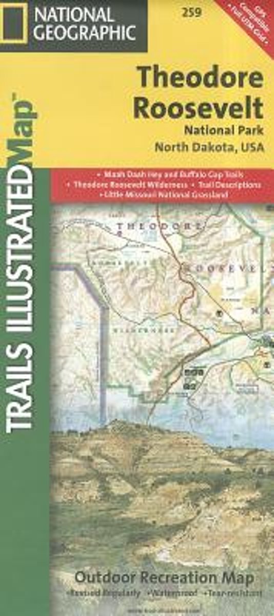
- Theodore Roosevelt National Park / Maah Daah Hey Trail ND
- Map No. 259, Theodore Roosevelt National Park/ Maah Daah Hey Trail in North Dakota, at 1:40,000 in an extensive series of GPS compatible, contoured hiking maps of USA’s national and state parks or forests and other popular recreational areas. Cartography based on the national topographic survey, with additional tourist information.The maps,... Read more
- Also available from:
- Bol.com, Netherlands
- Bol.com, Belgium
Bol.com
Netherlands
Netherlands
- Theodore Roosevelt National Park/maah Daah Hey Trail
- Get the most trusted and popular recreation maps available. Each map is crafted in conjunction with local land managers and undergoes rigorous review and enhancement before being printed on waterproof, tear-resistant material. The maps are updated regularly to include detailed topographic information, clearly marked/named trails, recreational... Read more
Bol.com
Belgium
Belgium
- Theodore Roosevelt National Park/maah Daah Hey Trail
- Get the most trusted and popular recreation maps available. Each map is crafted in conjunction with local land managers and undergoes rigorous review and enhancement before being printed on waterproof, tear-resistant material. The maps are updated regularly to include detailed topographic information, clearly marked/named trails, recreational... Read more

- Also available from:
- Bol.com, Netherlands
- Bol.com, Belgium
- De Zwerver, Netherlands

Bol.com
Netherlands
2014
Netherlands
2014
- Cape Wrath Trail South XT40
- Cape Wrath Trail is a challenging route from Fort William to Cape Wrath. It is around 200 miles long and passes through some of Scotland's wildest and most spectacular scenery. The trail has evolved from use and is not an officially recognised National Trail. There is no single definitive route. There are various ways of tackling the traverse... Read more
Bol.com
Belgium
2014
Belgium
2014
- Cape Wrath Trail South XT40
- Cape Wrath Trail is a challenging route from Fort William to Cape Wrath. It is around 200 miles long and passes through some of Scotland's wildest and most spectacular scenery. The trail has evolved from use and is not an officially recognised National Trail. There is no single definitive route. There are various ways of tackling the traverse... Read more

De Zwerver
Netherlands
2014
Netherlands
2014
- Wandelkaart Cape Wrath Trail South | Harvey Maps
- The southern section of the Cape Wrath Trail, from Fort William to Strathcarron presented at 1:40,000 on a light, waterproof and tear-resistant map from Harvey Map Services. The map covers this section of the trail on eight panels, showing both the western variant via Inverie and Shiel Bridge, and inland route along Loch Lochy and Invegarry.... Read more
Ordnance Survey
United Kingdom
United Kingdom
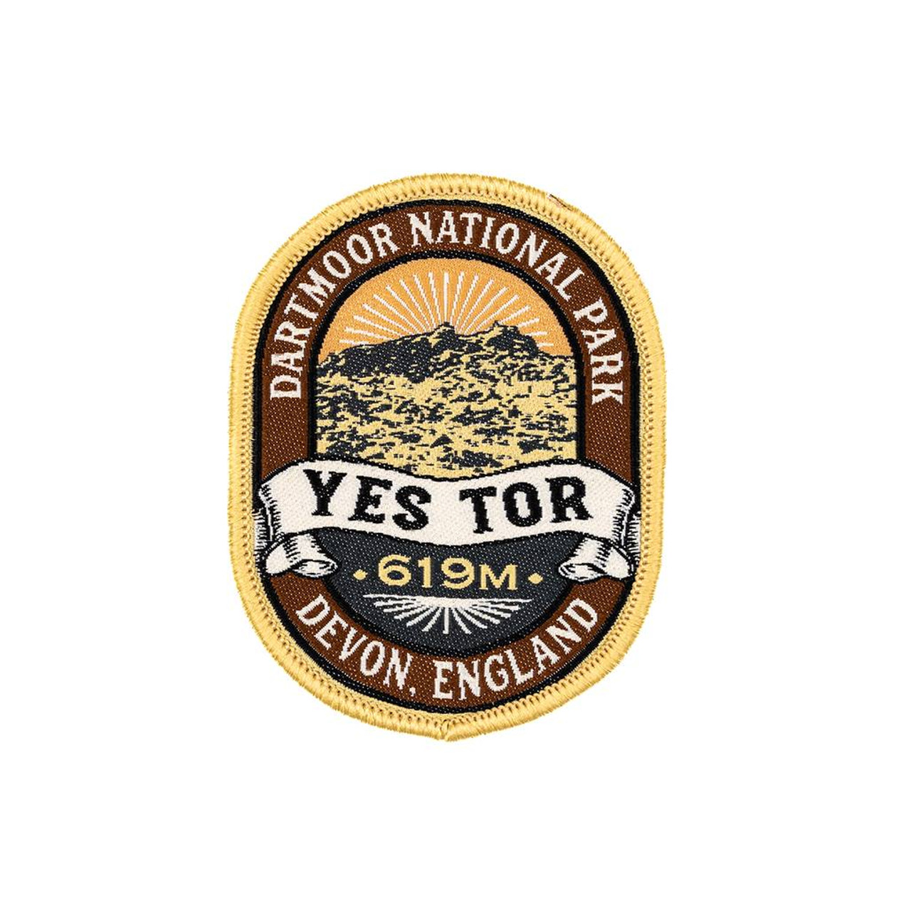
- The Adventure Patch Company Yes Tor Patch
- Woven patch celebrating one Dartmoor's second highest tor. Read more

Stanfords
United Kingdom
United Kingdom
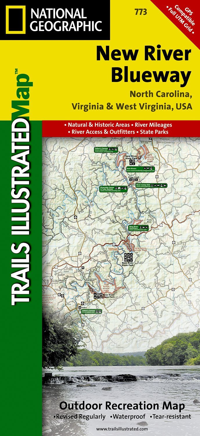
- New River Blueway NC/VA/WV
- Map No. 773, New River Blueway, NC/VA/WV, in an extensive series of GPS compatible, contoured hiking maps of USA’s national and state parks or forests and other popular recreational areas. Cartography based on the national topographic survey, with additional tourist information.The maps, with most titles now printed on light, waterproof and... Read more
- Also available from:
- De Zwerver, Netherlands
De Zwerver
Netherlands
Netherlands
- Wandelkaart - Topografische kaart 773 New River Blueway | National Geographic
- Prachtige geplastificeerde kaart van het bekende nationaal park. Met alle recreatieve voorzieningen als campsites, maar ook met topografische details en wandelroutes ed. Door uitgekiend kleurgebruik zeer prettig in gebruik. Scheur en watervast! George Washington Nat. Forest, Jefferson Nat. Forest, New River Canoe Trail, Claytor Lake State Park,... Read more

Stanfords
United Kingdom
United Kingdom
- Chattahoochee National Forest - Springer and Cohutta Mountains GA/SC 777
- Map No. 777, Chattahoochee National Forest: Springer and Cohutta Mountains, GA/SC, in an extensive series of GPS compatible, contoured hiking maps of USA’s national and state parks or forests and other popular recreational areas. Cartography based on the national topographic survey, with additional tourist information.The maps, with most titles... Read more
- Also available from:
- Bol.com, Netherlands
- Bol.com, Belgium

Bol.com
Netherlands
Netherlands
- Springer & Cohutta Mountains, Chattahoochee National Forest
- Waterproof Tear-Resistant Topographic MapLocated just north of Atlanta, the Chattahoochee National Forest contains the southern terminus of the Appalachian Trail along with an abundance of recreational opportunities for outdoor enthusiasts of all interests.This detailed recreation map contains carefully researched trails, campsites,... Read more
Bol.com
Belgium
Belgium
- Springer & Cohutta Mountains, Chattahoochee National Forest
- Waterproof Tear-Resistant Topographic MapLocated just north of Atlanta, the Chattahoochee National Forest contains the southern terminus of the Appalachian Trail along with an abundance of recreational opportunities for outdoor enthusiasts of all interests.This detailed recreation map contains carefully researched trails, campsites,... Read more

Stanfords
United Kingdom
United Kingdom
- Cades Cove - Elkmont - Great Smoky Mountains National Park NC/TN
- Map No. 316, Great Smoky Mountains National Park: Cades Cove - Elkmont, NC/TN, in an extensive series of GPS compatible, contoured hiking maps of USA’s national and state parks or forests and other popular recreational areas. Cartography based on the national topographic survey, with additional tourist information.The maps, with most titles now... Read more
- Also available from:
- Bol.com, Netherlands
- Bol.com, Belgium
- De Zwerver, Netherlands

Bol.com
Netherlands
Netherlands
- Cades Cove/elkmont, Great Smoky Mountains National Park
- Waterproof Tear-Resistant Topographic MapThis title provides an increased scale of one of the most visited National Parks in the US, and one of our more popular map titles. This increased scale will provide greater detail to the backcountry users and Appalachian Trail through-hikers.Park Introduction:Great Smoky Mountains National Park is... Read more
Bol.com
Belgium
Belgium
- Cades Cove/elkmont, Great Smoky Mountains National Park
- Waterproof Tear-Resistant Topographic MapThis title provides an increased scale of one of the most visited National Parks in the US, and one of our more popular map titles. This increased scale will provide greater detail to the backcountry users and Appalachian Trail through-hikers.Park Introduction:Great Smoky Mountains National Park is... Read more

De Zwerver
Netherlands
Netherlands
- Wandelkaart - Topografische kaart 316 Cades Cove - Elkmont - Great Smoky Mountains National Park | National Geographic
- Prachtige geplastificeerde kaart van het bekende nationaal park. Met alle recreatieve voorzieningen als campsites, maar ook met topografische details en wandelroutes ed. Door uitgekiend kleurgebruik zeer prettig in gebruik. Scheur en watervast! This title provides an increased scale of one of the most visited National Parks in the US, and one... Read more
Ordnance Survey
United Kingdom
United Kingdom
- Ordnance Survey OS Maps Premium Annual Subscription
- Get unlimited access to detailed topographic mapping for the whole of Great Britain, Northern Ireland, USA, Australia and New Zealand with OS Maps Premium. OS Maps makes it easy to discover, plan and follow and explore routes in the great outdoors. Premium features include: Instant access to hundreds of maps That’s digital access to 607 OS... Read more

Stanfords
United Kingdom
United Kingdom
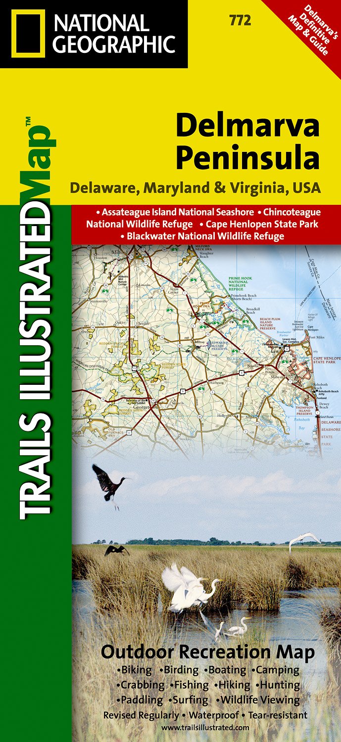
- DelMarVa Peninsula - Delaware - Maryland - Virginia Recreational Map
- Map No. 772, DelMarVa Peninsula (Delaware, Maryland, Virginia) Recreational Map, in an extensive series of GPS compatible, contoured hiking maps of USA’s national and state parks or forests and other popular recreational areas. Cartography based on the national topographic survey, with additional tourist information.The maps, with most titles... Read more
- Also available from:
- De Zwerver, Netherlands
De Zwerver
Netherlands
Netherlands
- Wandelkaart - Topografische kaart 772 Delmarva Peninsula | National Geographic
- Prachtige geplastificeerde kaart van het bekende nationaal park. Met alle recreatieve voorzieningen als campsites, maar ook met topografische details en wandelroutes ed. Door uitgekiend kleurgebruik zeer prettig in gebruik. Scheur en watervast! The new Delmarva Trails Illustrated regional topographic recreation map covers all major recreation... Read more

Stanfords
United Kingdom
United Kingdom
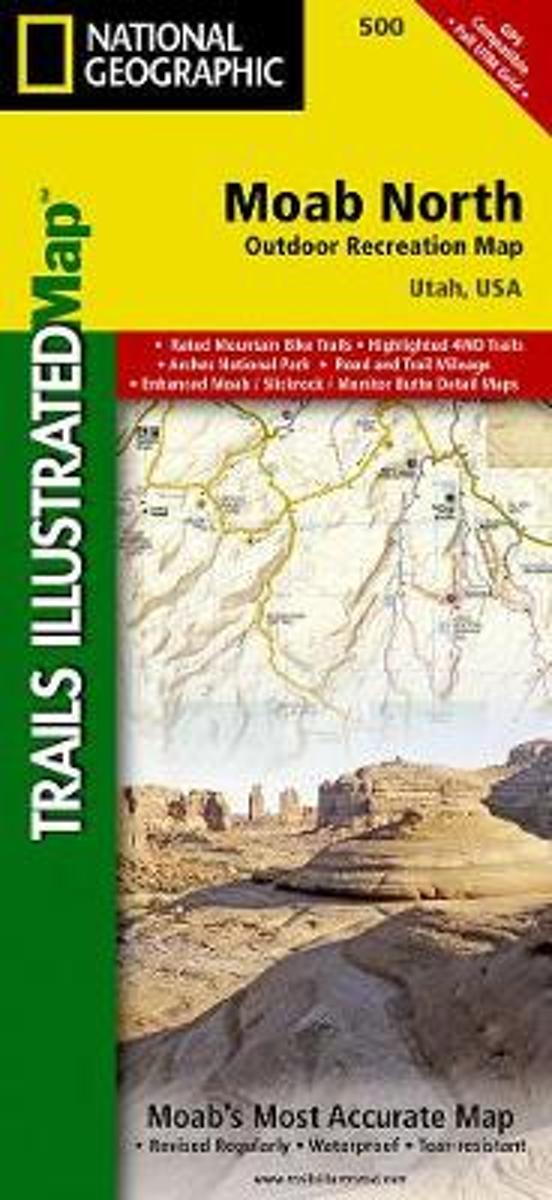
- Moab North UT NGS Trails Illustrated Outdoor Recreation Map 500
- Map No. 500, Moab North Mountain Bike Map, in an extensive series of GPS compatible, contoured hiking maps of USA’s national and state parks or forests and other popular recreational areas. Cartography based on the national topographic survey, with additional tourist information.The maps, with most titles now printed on light, waterproof and... Read more
- Also available from:
- Bol.com, Netherlands
- Bol.com, Belgium
Bol.com
Netherlands
Netherlands
- Moab North
- Waterproof Tear-Resistant Topographic MapA popular destination for mountain biking, hiking, whitewater rafting, and four-wheeling, Moab offers adventure and recreation in one of the most iconic landscapes in the United States. National Geographic's Trails Illustrated map of Moab North was created in partnership with local land management... Read more
Bol.com
Belgium
Belgium
- Moab North
- Waterproof Tear-Resistant Topographic MapA popular destination for mountain biking, hiking, whitewater rafting, and four-wheeling, Moab offers adventure and recreation in one of the most iconic landscapes in the United States. National Geographic's Trails Illustrated map of Moab North was created in partnership with local land management... Read more