Stanfords
United Kingdom
Stanfords
United Kingdom
2017
Stanfords
United Kingdom
2019
Stanfords
United Kingdom
Stanfords
United Kingdom
Stanfords
United Kingdom
2016
Stanfords
United Kingdom
Stanfords
United Kingdom
2019
Stanfords
United Kingdom
Stanfords
United Kingdom
» Click to open
The Book Depository
United Kingdom
  • Pyrenees Eastern
  • Pyrénées Ouest map from the IGN at 1:200,000, with excellent presentation of the terrain through contours and vivid relief shading, plenty of names of topographic features, long-distance GR hiking routes, places of interest, etc. The map is designed to provide convenient coverage of the western and central part of the Pyrenees, extending across... Read more
» Click to close
The Book Depository
United Kingdom
Stanfords
United Kingdom
» Click to open
» Click to close
Stanfords
United Kingdom
» Click to open
The Book Depository
United Kingdom
  • Haut-Jura / Alpes du Nord
  • Pyrénées Ouest map from the IGN at 1:200,000, with excellent presentation of the terrain through contours and vivid relief shading, plenty of names of topographic features, long-distance GR hiking routes, places of interest, etc. The map is designed to provide convenient coverage of the western and central part of the Pyrenees, extending across... Read more
» Click to close
Stanfords
United Kingdom
» Click to open
The Book Depository
United Kingdom
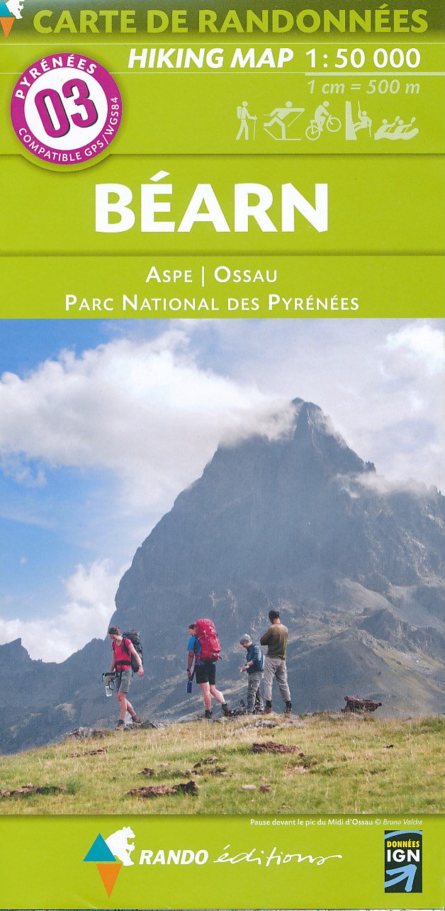
  • Bearn - Aspe - Ossau - Pyrenees NP
  • Uitstekende wandelkaart met veel toeristische informatie en bijzonder gedetailleerd. Wandelroute en hutten / campings zijn ingetekend, met hoogtelijnen. Andere dorpen op deze kaart: Etsaut - Col du Somport - Fabrèges - Col du Pourtalet - la Pierre Saint Martin - Arette - Arudy - Laruns - Arrens Marsous - Argelès Gazost (Frankrijk - Pyreneeen)... Read more
De Zwerver
Netherlands
  • Wandelkaart 03 Béarn - Bearn | Rando Editions
  • Uitstekende wandelkaart met veel toeristische informatie en bijzonder gedetailleerd. Wandelroute en hutten / campings zijn ingetekend, met hoogtelijnen. Andere dorpen op deze kaart: Etsaut - Col du Somport - Fabrèges - Col du Pourtalet - la Pierre Saint Martin - Arette - Arudy - Laruns - Arrens Marsous - Argelès Gazost (Frankrijk - Pyreneeen)... Read more
» Click to close
Stanfords
United Kingdom
» Click to open
The Book Depository
United Kingdom
  • Alpes du Sud
  • Pyrénées Ouest map from the IGN at 1:200,000, with excellent presentation of the terrain through contours and vivid relief shading, plenty of names of topographic features, long-distance GR hiking routes, places of interest, etc. The map is designed to provide convenient coverage of the western and central part of the Pyrenees, extending across... Read more
» Click to close