
Stanfords
United Kingdom
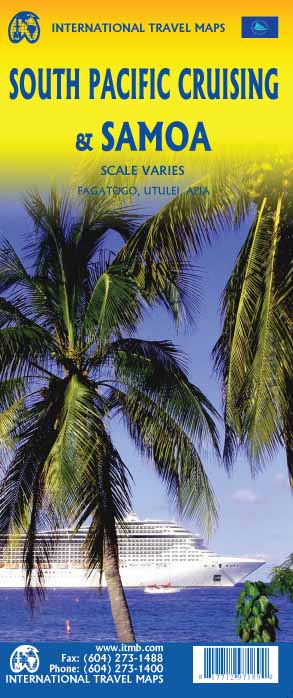
- Samoa
- A double-sided map showing the country of Samoa at about 1:190,000 scale on one side and American Samoa at about 1:75,000 on the other. The map uses little colour but is still easy to follow. Hills are shown by shading, and many roads, tracks and villages are marked. The map is indexed and includes town plans of Apia and Fagatogo. Read more

Stanfords
United Kingdom
- NZ8685 Islands in American Samoa
- Plans included: Tutuila Island 1:60,000Swains Island 1:50,000Pago Pago Harbour 1:25,000Manua Island 1:100,000Rose Atoll 1:100,000Nautical charts for New Zealand, created by Land Information New Zealand (LINZ), are printed on demand at Stanfords after your order is placed and processed. They provide a detailed coverage of the coastline with a... Read more

Stanfords
United Kingdom
- NZ861 Plans in Samoa
- Plans include:Fagaloa Bay 1:25,000Safata Harbour 1:27,920Saluafata Harbour 1:25,000Vailele Bay 1:20,050Satupa`itea Road 1:50,000Uafato Bay 1:12,260Falefa Harbour 1:39,030Sala`ilua Bay 1:50,000Fagali`i Bay 1:24,270Falealupo Road 1:25,000Falealili Harbour 1:33,300Nautical charts for New Zealand, created by Land Information New Zealand (LINZ), are... Read more
De Zwerver
Netherlands