Stanfords
United Kingdom
- Caribbean Islands East & South ITMB Travel Atlas
- The islands of the eastern and southern Caribbean presented by ITMB in a handy size, A5, paperback, indexed atlas with city centre street plans of main cities. The mapping is taken from ITMB’s extensive coverage of the region on individual country maps, so scales vary.The atlas covers: Antigua and Barbuda (1:35,000/25,000, with street plans of... Read more

Stanfords
United Kingdom
- Dominica
- Dominica at 1:40,000 on a map from the Caribbean-based cartographer Michal Kasprowski highlighting 41 diving sites, plus indexed street plans of the Lagon - Portsmouth - Glanvilla, Méro - St. Joseph, Roseau, and Wallhouse -Loubiere areas. Road network highlights main roads and shows secondary roads and local tracks or footpaths. Symbols... Read more

Stanfords
United Kingdom
- Antigua & Dominica ITMB
- Dominica at 1:50,000 with Antigua at 1:35,000, each shown on one side of a map from ITMB indexed and accompanied by street plans of Roseau plus St John’s and the English Harbour area respectively. Road network is presented on a base showing the islands’ topography by contours and altitude colouring.Symbols indicate various places of interest... Read more

Stanfords
United Kingdom
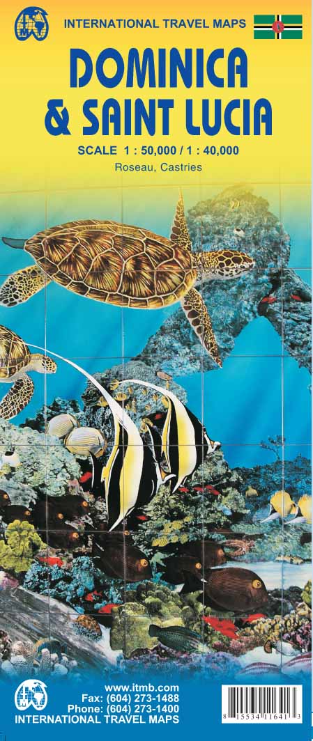
- Dominica & Saint Lucia ITMB
- Dominica and Saint Lucia on a double-sided map from ITMB showing each island on one side accompanied by street plans of Roseau and Castries respectively. The islands’ topography is shown by contours and altitude colouring.On one side is Dominica at 1:50,000. Contour lines are at 25m intervals. The Waiukubuli National Hiking Trail is prominently... Read more
De Zwerver
Netherlands
- Wegenkaart - landkaart Dominica - Santa Lucia | ITMB
- Dominica and Saint Lucia on a double-sided map from ITMB showing each island on one side accompanied by street plans of Roseau and Castries respectively. The islands’ topography is shown by contours and altitude colouring.On one side is Dominica at 1:50,000. Contour lines are at 25m intervals. The Waiukubuli National Hiking Trail is prominently... Read more

Stanfords
United Kingdom
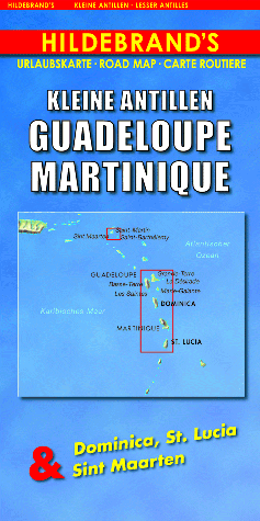
- Lesser Antilles: Guadeloupe and Martinique
- Indexed maps at various scales portraying Martinique, Dominica, St. Lucia, St. Martin, St Barthélemy and Guadeloupe (La Désirade, Les Saintes and Marie-Galante in insets). The most striking characteristic is the vivid representation of the general relief, using hill-shading. Some peak heights are marked and national parks, and reefs are shown.... Read more
Stanfords
United Kingdom
- Guadeloupe & Dominica ITMB
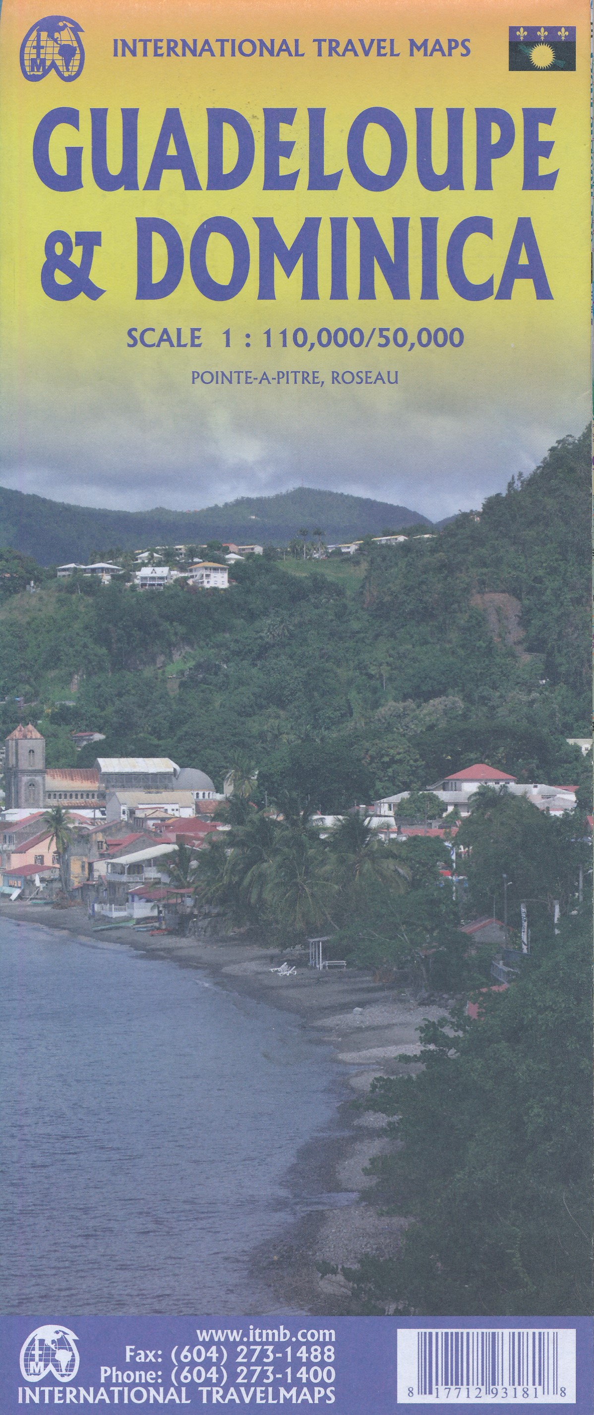
- The country of Guadeloupe (1:110,000) actually consists of six islands, with the main island being divided by a narrow peninsula into Basse-Terre and Grand-Terre. It is a French possession, so uses the Euro as its currency. The other touristic island is Marie-Galante, which one reaches by ferry from the capital city of Pointe-a-Pitre. There is... Read more
De Zwerver
Netherlands
- Wegenkaart - landkaart Guadeloupe & Dominica | ITMB
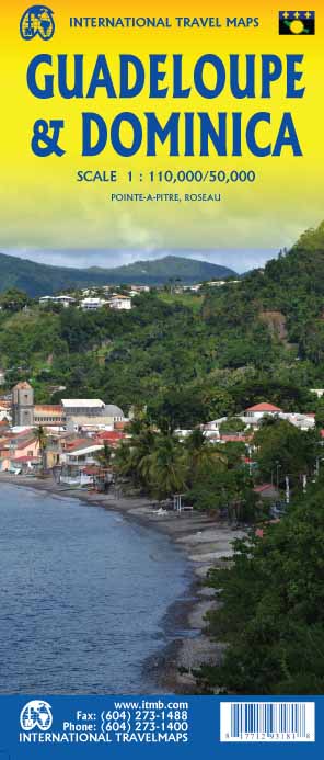
- The country of Guadeloupe (1:110,000) actually consists of six islands, with the main island being divided by a narrow peninsula into Basse-Terre and Grand-Terre. It is a French possession, so uses the Euro as its currency. The other touristic island is Marie-Galante, which one reaches by ferry from the capital city of Pointe-a-Pitre. There is... Read more