
Stanfords
United Kingdom
- Vlora Huber Hiking & Biking Map
- Vlora and Environs area of southern Albania at 1:50,000 in a series of GPS compatible contoured maps from Huber Verlag showing hiking and cycling routes, climbing sites, tourist accommodation, etc. Descriptions cover eight cycling routes and five hiking trails, most with route profiles.Maps in this series, prepared in cooperation with the... Read more

Stanfords
United Kingdom
- Tropoja - B. Curri - Valbona Huber Hiking & Biking Map
- Tropoja - B. Curri - Valbona area of northern Albania at 1:50,000 in a series of GPS compatible contoured maps from Huber Verlag showing hiking and cycling routes, climbing sites, tourist accommodation, etc, with detailed descriptions of recommended tours. Overprint for hiking paths extends across the border to Montenegro and Kosovo.... Read more
Stanfords
United Kingdom
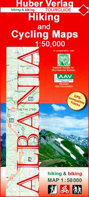
- Vermoshi - Tamare - Razma - Thethi Huber Hiking & Biking Map
- Vermoshi - Tamare - Razma - Thethi area of northern Albania at 1:50,000 in a series of GPS compatible contoured maps from Huber Verlag showing hiking and cycling routes, climbing sites, tourist accommodation, etc. Descriptions cover 16 hiking trails and six cycling routes between 14km and 152km long. Route profiles are provided for most of the... Read more

Stanfords
United Kingdom
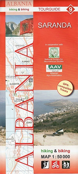
- Saranda Huber Hiking & Biking Map
- Saranda and Environs area of southern Albania at 1:50,000 in a series of GPS compatible contoured maps from Huber Verlag showing hiking and cycling routes, climbing sites, tourist accommodation, etc. Descriptions cover nine cycling routes and four hiking trails.Maps in this series, prepared in cooperation with the Albanian Alps Associations and... Read more
De Zwerver
Netherlands
- Wandelkaart - Fietskaart 9 Saranda | Huber Verlag
- Saranda and Environs area of southern Albania at 1:50,000 in a series of GPS compatible contoured maps from Huber Verlag showing hiking and cycling routes, climbing sites, tourist accommodation, etc. Descriptions cover nine cycling routes and four hiking trails.Maps in this series, prepared in cooperation with the Albanian Alps Associations and... Read more

Stanfords
United Kingdom
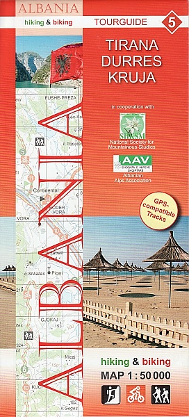
- Tirana - Durrës - Kruja Huber Hiking & Biking Map
- Tirana - Durrës – Kruja area of central Albania at 1:50,000 in a series of GPS compatible contoured maps from Huber Verlag showing hiking and cycling routes, climbing sites, tourist accommodation, etc. Descriptions cover 10 cycling routes and eight hiking trails.Maps in this series, prepared in cooperation with the Albanian Alps Associations... Read more
De Zwerver
Netherlands
- Wandelkaart - Fietskaart 5 Tirana - Durres - Kruja | Huber Verlag
- Tirana - Durrës – Kruja area of central Albania at 1:50,000 in a series of GPS compatible contoured maps from Huber Verlag showing hiking and cycling routes, climbing sites, tourist accommodation, etc. Descriptions cover 10 cycling routes and eight hiking trails.Maps in this series, prepared in cooperation with the Albanian Alps Associations... Read more

Stanfords
United Kingdom
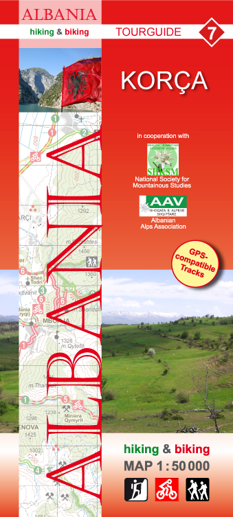
- Korça Huber Hiking & Biking Map
- Korça and Environs area of southern Albania at 1:50,000 in a series of GPS compatible contoured maps from Huber Verlag showing hiking and cycling routes, climbing sites, tourist accommodation, etc. Descriptions cover eight cycling routes and six hiking trails.Maps in this series, prepared in cooperation with the Albanian Alps Associations and... Read more
De Zwerver
Netherlands
- Wandelkaart - Fietskaart 7 Korça | Huber Verlag
- Korça and Environs area of southern Albania at 1:50,000 in a series of GPS compatible contoured maps from Huber Verlag showing hiking and cycling routes, climbing sites, tourist accommodation, etc. Descriptions cover eight cycling routes and six hiking trails.Maps in this series, prepared in cooperation with the Albanian Alps Associations and... Read more

Stanfords
United Kingdom
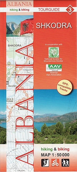
- Shkodra Huber Hiking & Biking Map
- Shkodra and Environs area of northern Albania at 1:50,000 in a series of GPS compatible contoured maps from Huber Verlag showing hiking and cycling routes, climbing sites, tourist accommodation, etc. Descriptions cover 16 cycling routes and one hiking trail, all with route-profiles.Maps in this series, prepared in cooperation with the Albanian... Read more
De Zwerver
Netherlands
- Wandelkaart - Fietskaart 3 Shkodra | Huber Verlag
- Shkodra and Environs area of northern Albania at 1:50,000 in a series of GPS compatible contoured maps from Huber Verlag showing hiking and cycling routes, climbing sites, tourist accommodation, etc. Descriptions cover 16 cycling routes and one hiking trail, all with route-profiles.Maps in this series, prepared in cooperation with the Albanian... Read more

Stanfords
United Kingdom
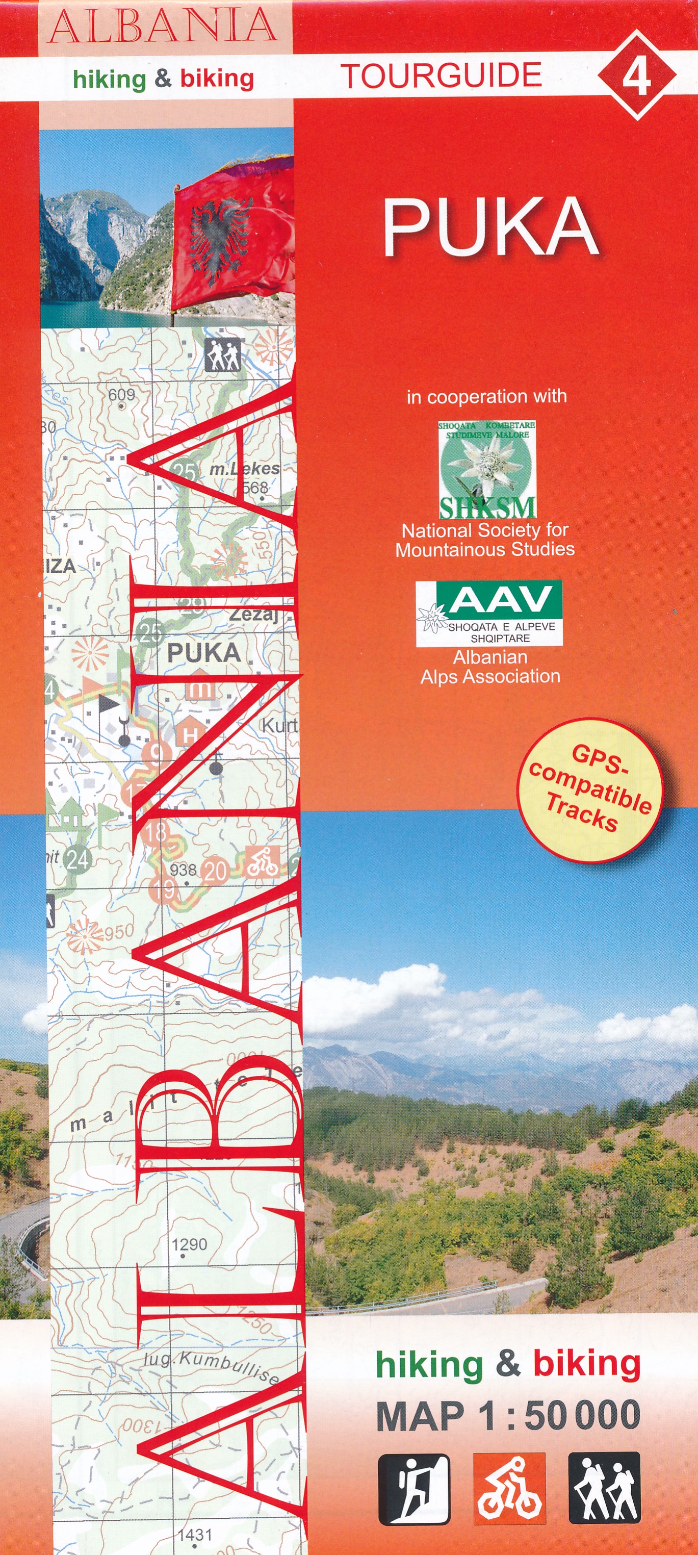
- Puka Huber Hiking & Biking Map
- Puka and Environs area of northern Albania at 1:50,000 in a series of GPS compatible contoured maps from Huber Verlag showing hiking and cycling routes, climbing sites, tourist accommodation, etc. Descriptions cover 24 cycling routes and four hiking trails.Maps in this series, prepared in cooperation with the Albanian Alps Associations and the... Read more
De Zwerver
Netherlands
- Wandelkaart 4 Puka | Huber Verlag
- Puka and Environs area of northern Albania at 1:50,000 in a series of GPS compatible contoured maps from Huber Verlag showing hiking and cycling routes, climbing sites, tourist accommodation, etc. Descriptions cover 24 cycling routes and four hiking trails.Maps in this series, prepared in cooperation with the Albanian Alps Associations and the... Read more

Stanfords
United Kingdom
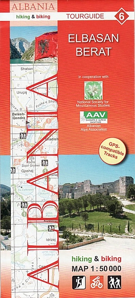
- Elbasan - Berat Huber Hiking & Biking Map
- Elbasan - Berat area of central Albania at 1:50,000 in a series of GPS compatible contoured maps from Huber Verlag showing hiking and cycling routes, climbing sites, tourist accommodation, etc. Descriptions cover 13 cycling routes and five hiking trails.Maps in this series, prepared in cooperation with the Albanian Alps Associations and the... Read more
De Zwerver
Netherlands
- Wandelkaart - Fietskaart 6 Elbasan - Berat | Huber Verlag
- Elbasan - Berat area of central Albania at 1:50,000 in a series of GPS compatible contoured maps from Huber Verlag showing hiking and cycling routes, climbing sites, tourist accommodation, etc. Descriptions cover 13 cycling routes and five hiking trails.Maps in this series, prepared in cooperation with the Albanian Alps Associations and the... Read more