Stanfords
United Kingdom
Stanfords
United Kingdom
Stanfords
United Kingdom
Stanfords
United Kingdom
Stanfords
United Kingdom
Stanfords
United Kingdom
2010
Stanfords
United Kingdom
» Click to open
The Book Depository
United Kingdom
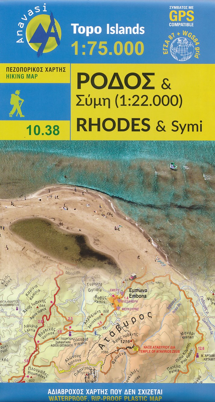
  • Rhodes
  • Rhodes at 1:75,000 on a contoured, GPS compatible map from a wide coverage of the Greek islands by Anavasi, printed on light, waterproof and tear-resistant plastic paper, with a street plan of a street plan of the Old Town, hiking suggestions, etc.The map has contours at 100m intervals with additional altitude colouring and plenty of names of... Read more
De Zwerver
Netherlands
  • Wandelkaart 10.38 Rhodos - Rhodes & Symi | Anavasi
  • Rhodes at 1:75,000 on a contoured, GPS compatible map from a wide coverage of the Greek islands by Anavasi, printed on light, waterproof and tear-resistant plastic paper, with a street plan of a street plan of the Old Town, hiking suggestions, etc.The map has contours at 100m intervals with additional altitude colouring and plenty of names of... Read more
» Click to close
Stanfords
United Kingdom
» Click to open
The Book Depository
United Kingdom
  • Tzia (Kea)
  • wandelkaart schaal 1:25.000 met hoogtelijnen, wandelpaden, toeristische informatie en UTM grid, de kaart is geschikt voor gebruik met GPS. Mountainous Kea, with stands of evergreen oak trees, olive and almond groves, many springs, and beautiful stone-laid paths, is ideal for hikers. Many paths are way-marked and lead to pretty, isolated beaches. Read more

De Zwerver
Netherlands
  • Wandelkaart 10.41 Kea (Tzia) | Anavasi
  • wandelkaart schaal 1:25.000 met hoogtelijnen, wandelpaden, toeristische informatie en UTM grid, de kaart is geschikt voor gebruik met GPS. Mountainous Kea, with stands of evergreen oak trees, olive and almond groves, many springs, and beautiful stone-laid paths, is ideal for hikers. Many paths are way-marked and lead to pretty, isolated beaches. Read more
» Click to close
Stanfords
United Kingdom
» Click to open
The Book Depository
United Kingdom
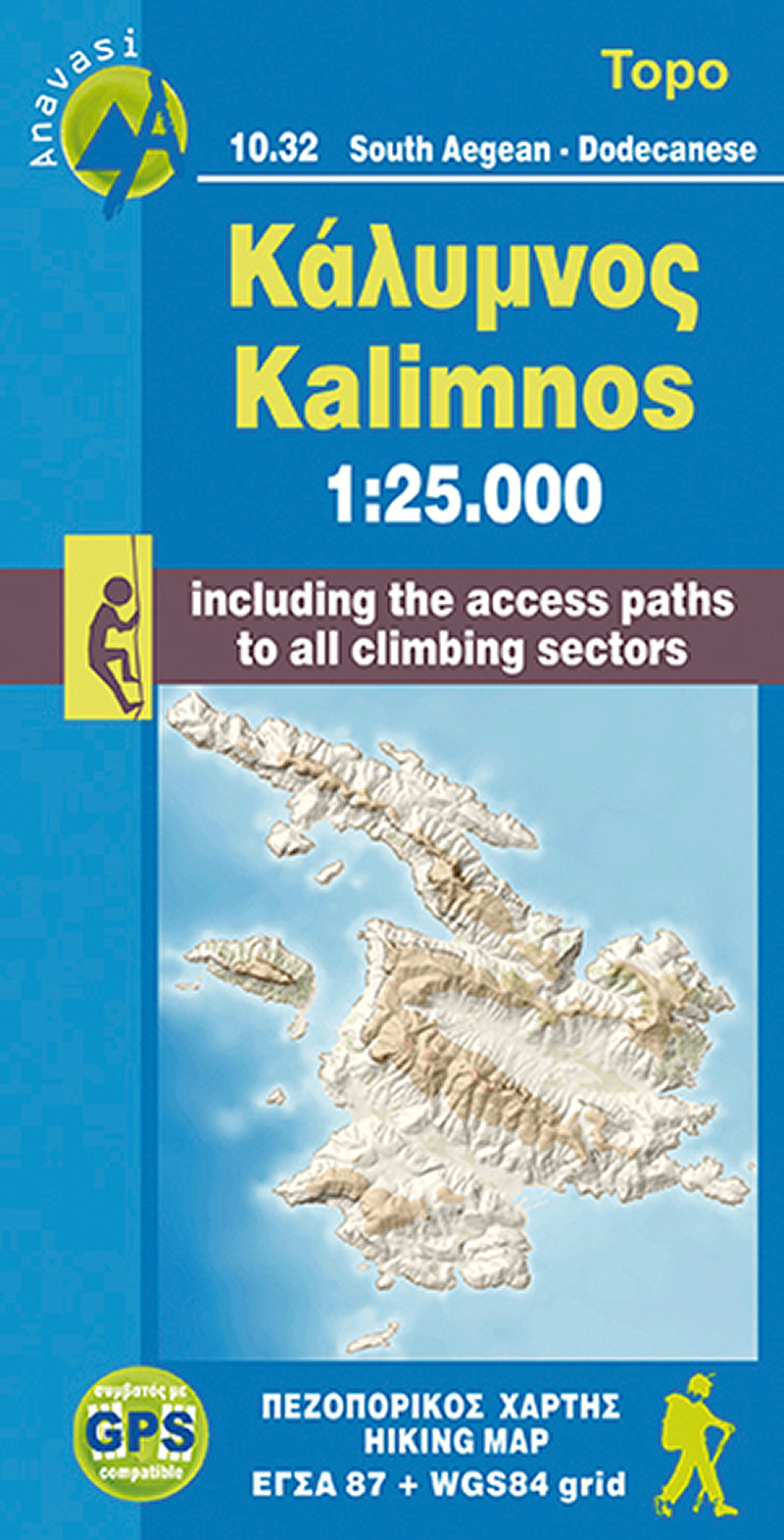
  • Kalimnos
  • The Dodecanese island of Kalymnos / Kalimnos on a waterproof and tear-resistant, contoured and GPS compatible map at 1:25,000 from Anavasi, highlighting hiking trails and the islands numerous rock climbing and bouldering sites.Landscape is shown by contours at 20m with altitude colouring, hill shading and spot heights. The map indicates dirt... Read more
De Zwerver
Netherlands
  • Wandelkaart 10.32 Kalimnos | Anavasi
  • The Dodecanese island of Kalymnos / Kalimnos on a waterproof and tear-resistant, contoured and GPS compatible map at 1:25,000 from Anavasi, highlighting hiking trails and the islands numerous rock climbing and bouldering sites.Landscape is shown by contours at 20m with altitude colouring, hill shading and spot heights. The map indicates dirt... Read more
» Click to close
Stanfords
United Kingdom
» Click to open
The Book Depository
United Kingdom
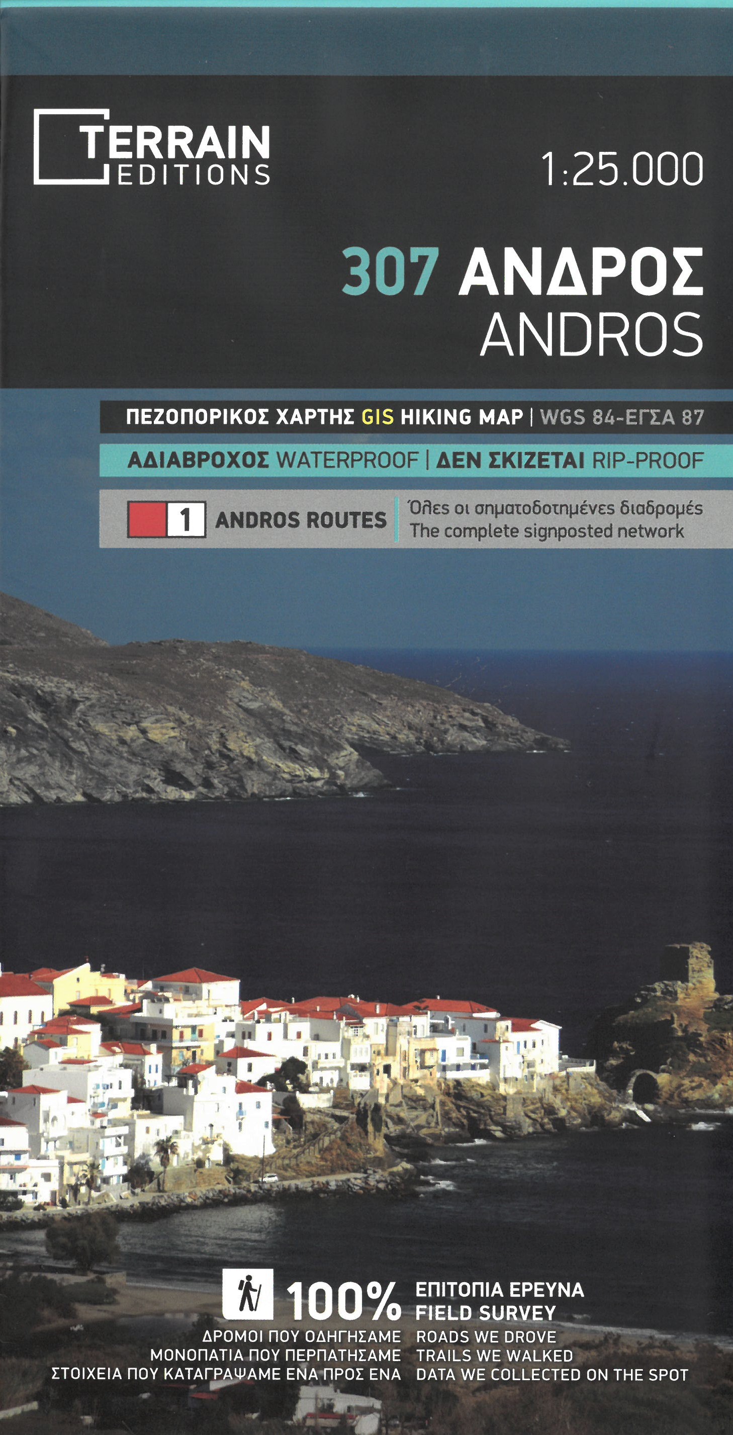
  • Andros
  • Gedetailleerde wegenkaart en wandelkaart met alle kleine wegen, wandelpaden, hoogtelijnen en toeristische informatie aangegeven. Alle tekst is tweetalig in Engels en Grieks en de waterproof kaart is geschikt voor gebruik met GPS. This is a great map because: It is waterproof and rip-proof. You can fold and unfold it a thousand times, fold it in... Read more
De Zwerver
Netherlands
  • Wandelkaart 307 Andros | Terrain maps
  • Gedetailleerde wegenkaart en wandelkaart met alle kleine wegen, wandelpaden, hoogtelijnen en toeristische informatie aangegeven. Alle tekst is tweetalig in Engels en Grieks en de waterproof kaart is geschikt voor gebruik met GPS. This is a great map because: It is waterproof and rip-proof. You can fold and unfold it a thousand times, fold it in... Read more
» Click to close
Stanfords
United Kingdom
» Click to open
The Book Depository
United Kingdom
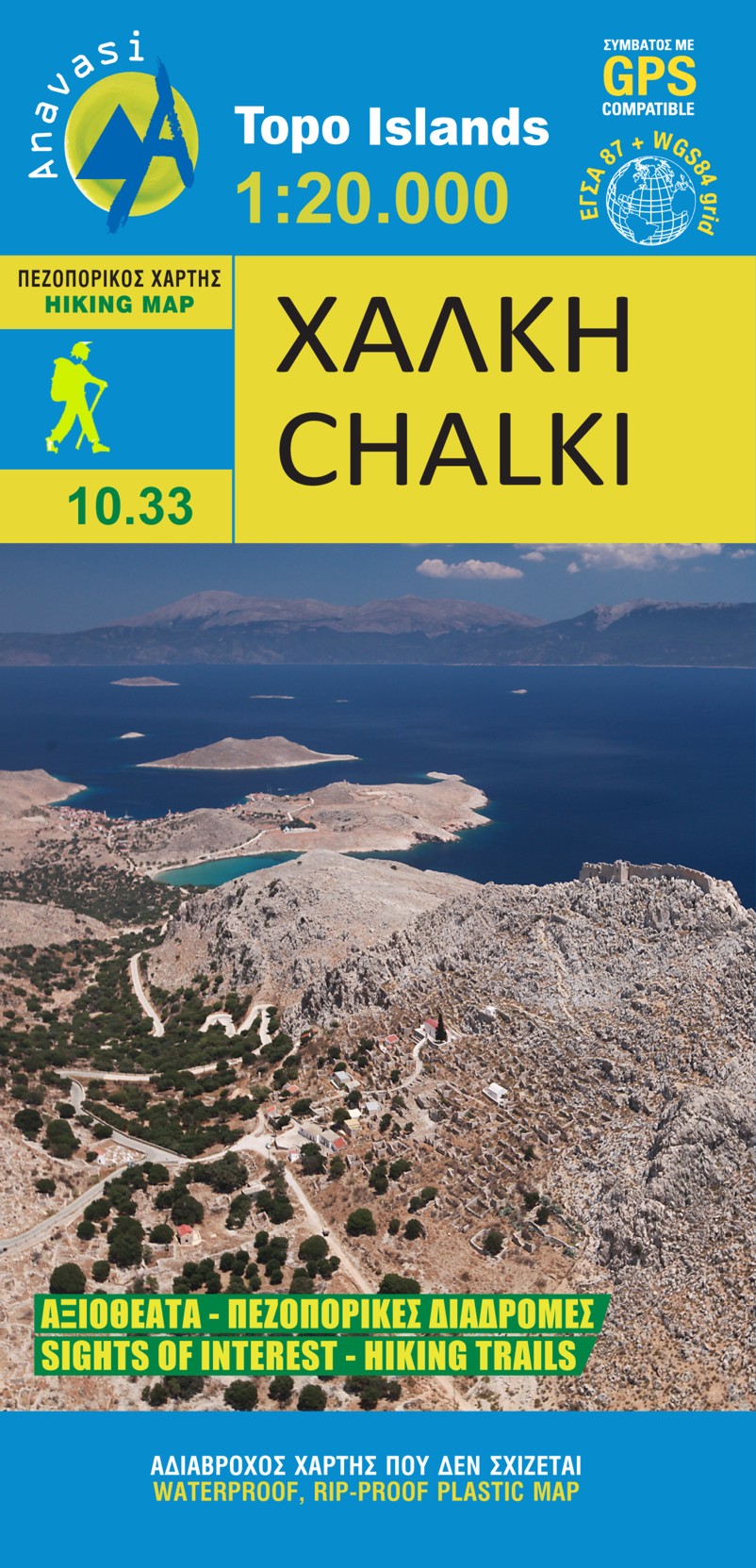
  • Chalki
  • wandelkaart schaal 1:20.000 met hoogtelijnen, wandelpaden, toeristische informatie en UTM grid, de kaart is geschikt voor gebruik met GPS. A tiny island though very rich in monuments and ancient remains. More than 50 byzantine chappels, dozens of rock carved cisterns and old agricultural settlements and a well-preserved medieval caslte with a... Read more
De Zwerver
Netherlands
  • Wandelkaart 10.33 Chalki | Anavasi
  • wandelkaart schaal 1:20.000 met hoogtelijnen, wandelpaden, toeristische informatie en UTM grid, de kaart is geschikt voor gebruik met GPS. A tiny island though very rich in monuments and ancient remains. More than 50 byzantine chappels, dozens of rock carved cisterns and old agricultural settlements and a well-preserved medieval caslte with a... Read more
» Click to close
Stanfords
United Kingdom
» Click to open
The Book Depository
United Kingdom
  • Kythera hiking
  • Greek island of Kythira on a light, waterproof and tear-resistant, contoured and GPS compatible double-sided map at 1:25,000 from Terrain Editions. All place names are shown in both Greek and Latin alphabet. Map legend and all the text include English.Maps of the Greek islands from Terrain Editions have topography well presented by contours at... Read more
» Click to close
Stanfords
United Kingdom
» Click to open
The Book Depository
United Kingdom
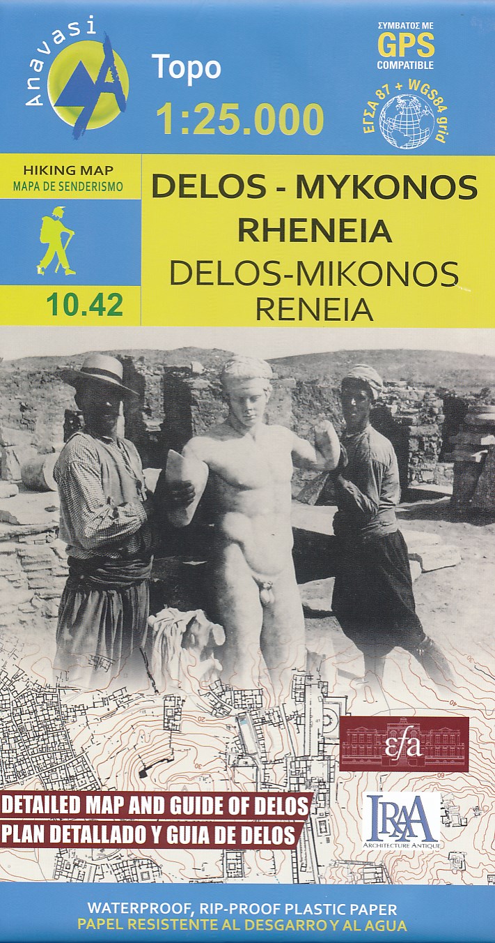
  • Delos - Mykonos - Rheneia
  • Mykonos with the nearby islands of Delos and Rineia / Rheneia on a light, waterproof and tear-resistant, GPS compatible map at 1:25,000 from Anavasi. The reverse side shows a large, very detailed plan of the archaeological remains on Delos of the temples of Apollo, Artemis and Leto.Topography of the islands is shown by contours with hill... Read more
De Zwerver
Netherlands
  • Wandelkaart 10.42 Delos - Mykonos (Mikonos) - Rheneia (Reneia) | Anavasi
  • Mykonos with the nearby islands of Delos and Rineia / Rheneia on a light, waterproof and tear-resistant, GPS compatible map at 1:25,000 from Anavasi. The reverse side shows a large, very detailed plan of the archaeological remains on Delos of the temples of Apollo, Artemis and Leto.Topography of the islands is shown by contours with hill... Read more
» Click to close
Stanfords
United Kingdom
» Click to open
De Zwerver
Netherlands
  • Wandelkaart - Wegenkaart - landkaart 10.28 Naxos | Anavasi
  • Naxos on light, a waterproof and tear-resistant, contoured and GPS compatible map at 1:40,000 from Anavasi, highlighting 10 recommended hiking trails, plus on the reverse coverage of six smaller nearby islands in the Cyclades: Donoussa, Irakleia, Schoinousa / Schinousa, Upper and Lower Koufonisi, plus Keros.On one side is the map of Naxos.... Read more
» Click to close
Stanfords
United Kingdom
» Click to open
De Zwerver
Netherlands
  • Wandelkaart 302 Kythnos | Terrain maps
  • Kythnos at 1:25,000 on a contoured, GPS compatible hiking map published by Terrain Cartography group together with Skai Maps, and printed on light, waterproof and tear-resistant Polyart plastic paper, with extensive tourist information.Topography is very well presented by contours, enhanced by spot heights, subtle relief shading and additional... Read more
» Click to close