Stanfords
United Kingdom
United Kingdom
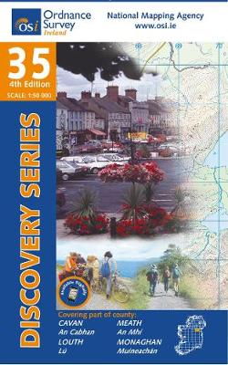
- Cavan - Louth - Meath - Monaghan OSI Discovery 35
- Map No. 35, Cavan East - Meath North in the Discovery series from the OSI, the Ordnance Survey of Ireland, which presents the country on detailed topographic maps at 1:50,000, with additional overprint highlighting campsites and caravan parks, youth hostels, etc. Current 3rd edition of this map was published in December 2011.Maps in the... Read more
- Also available from:
- The Book Depository, United Kingdom
- De Zwerver, Netherlands
De Zwerver
Netherlands
Netherlands
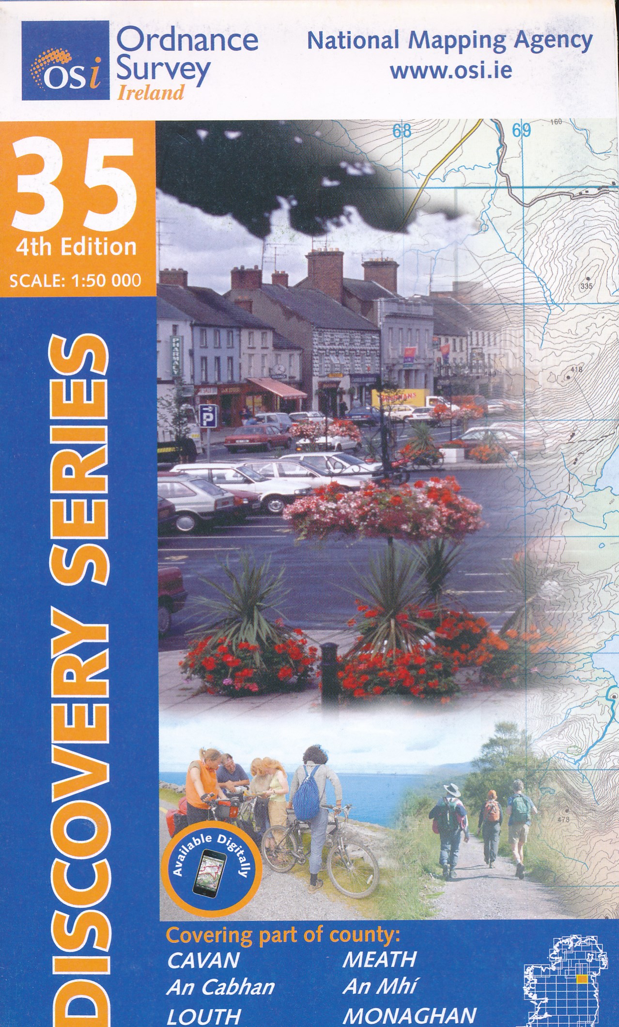
- Topografische kaart - Wandelkaart 35 Discovery Cavan, Louth, Meath, Monaghan | Ordnance Survey Ireland
- Map No. 35, Cavan East - Meath North in the Discovery series from the OSI, the Ordnance Survey of Ireland, which presents the country on detailed topographic maps at 1:50,000, with additional overprint highlighting campsites and caravan parks, youth hostels, etc. Current 3rd edition of this map was published in December 2011.Maps in the... Read more