Stanfords
United Kingdom
United Kingdom
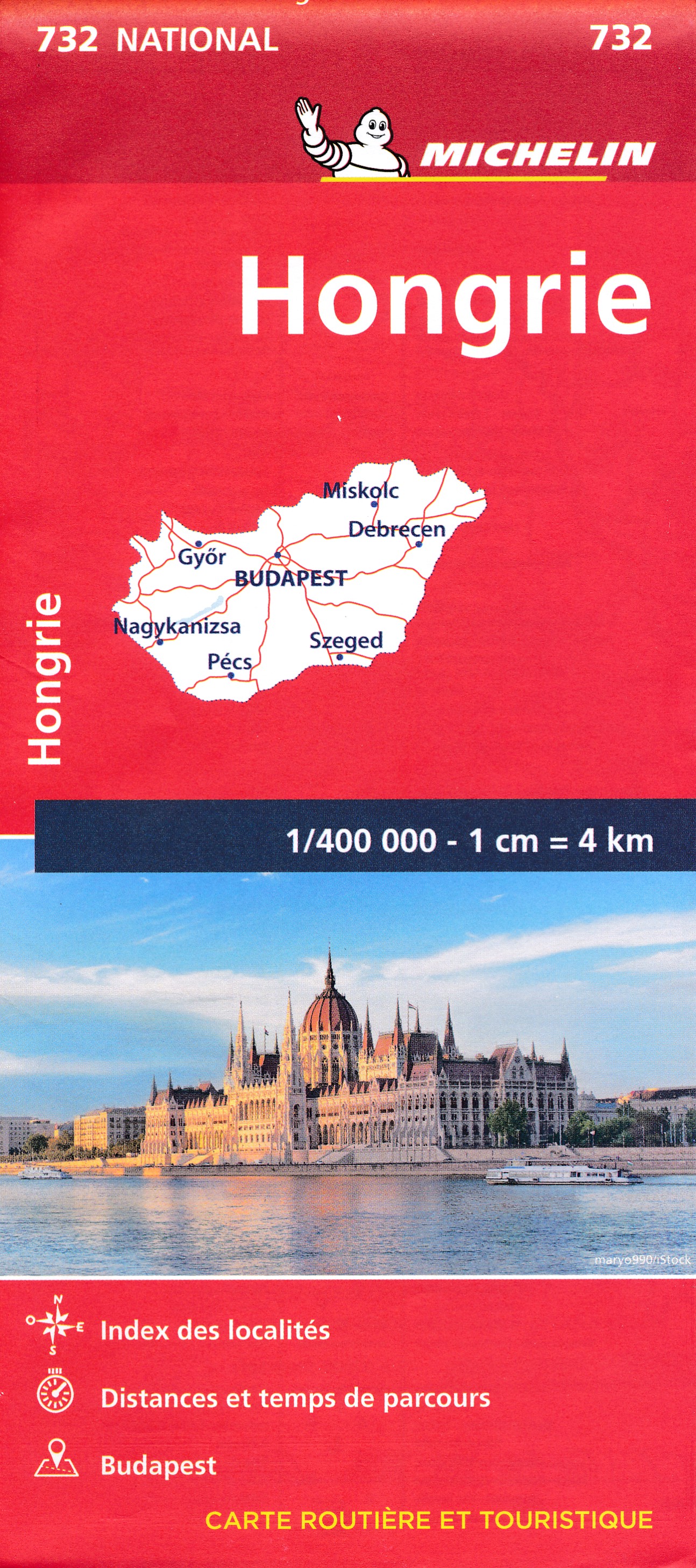
- Hungary - Budapest Road Atlas SPIRAL-BOUND
- Road atlas of Hungary at 1:250,000 combined with a street atlas of Budapest at 1:20,000 from Cartographia, presented in a handy glovebox size and spiral-bound format, each section with an extensive index, plus an enlargement of the Budapest region, etc.The road atlas section shows six different classes of roads, plus cart tracks and selected... Read more