Stanfords
United Kingdom
- Saas Fee - Saastal - Simplon
- Saas-Fee area including the Saastal, the eastern slopes of the Mischabel range with Dom, the Simplon Pass, Grächen, Brig and Visp at 1:50,000 in a series from Hallwag covering Switzerland’s popular hiking regions on light, waterproof and tear-resistant maps highlighting long-distance paths: the nine national routes plus special regional routes,... Read more
Stanfords
United Kingdom
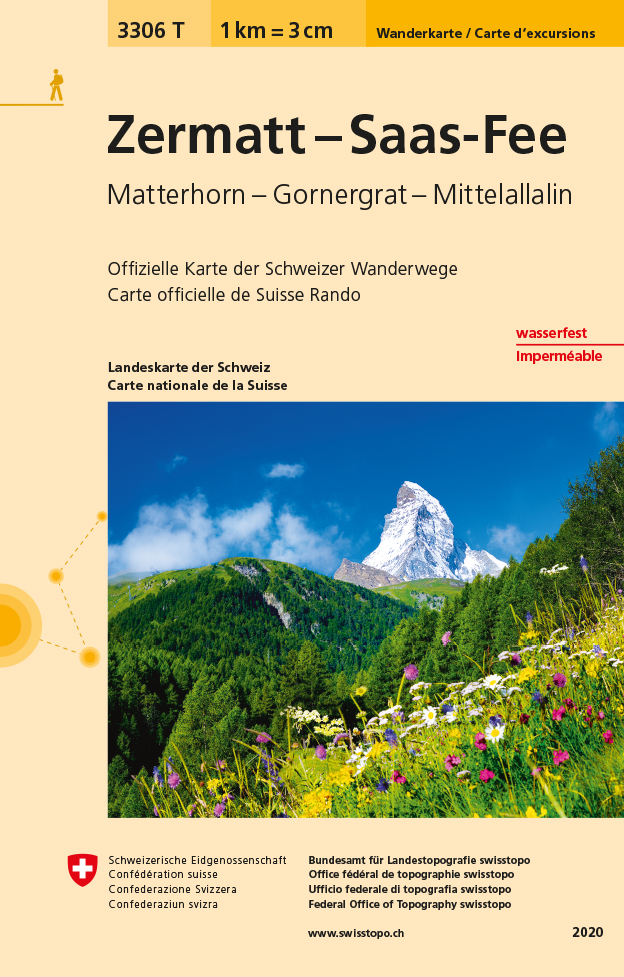
- Zermatt - Matterhorn K+F Hiking 13
- The Mattertal and the lower part of the Saastal valleys, the Mischabel group with Dom, and the upper part of the Val d`Anniviers presented at 1:50,000 on a waterproof and tear-resistant, contoured and GPS compatible map from the Hallwag/Kümmerly + Frey group, with route profiles, grading for the severity of the terrain and the degree of fitness... Read more

Stanfords
United Kingdom
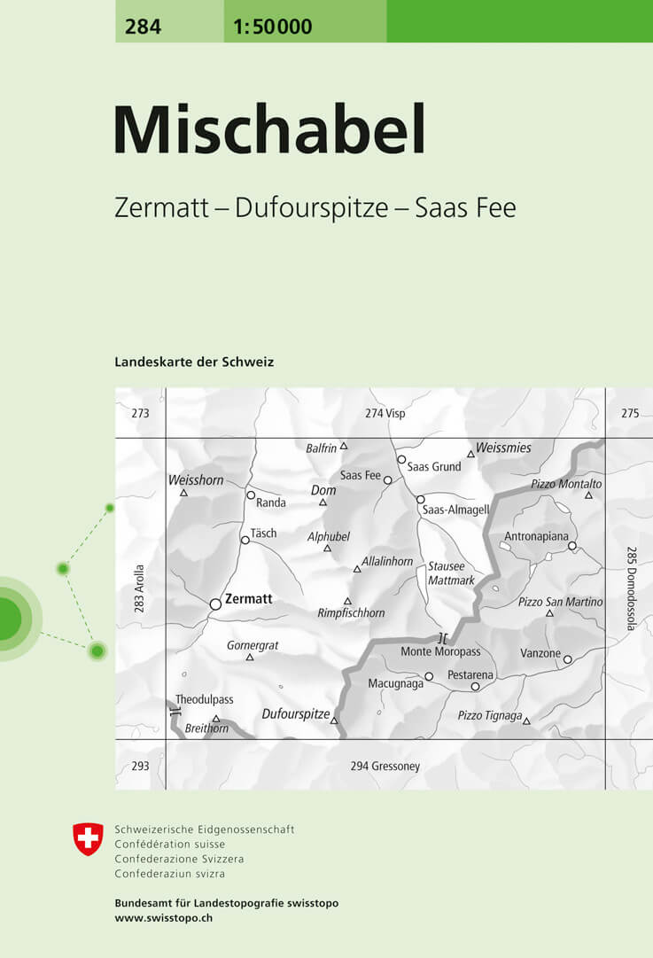
- Mischabel Swisstopo 284
- Mischabel, map No. 284, in the standard topographic survey of Switzerland at 1:50,000 from Swisstopo, i.e. without the special overprint highlighting walking trails, local bus stops, etc, presented in Swisstopo’s hiking editions of the 50K survey. The map covers the southern part of the Mattertal with Zermatt and Randa, the Saastal with Saas... Read more

Stanfords
United Kingdom
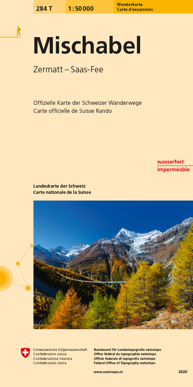
- Mischabel Swisstopo Hiking 284T
- The Michabel range, map No. 284T, at 1:50,000 in a special hiking edition of the country’s topographic survey, published by Swisstopo in cooperation with the Swiss Hiking Federation. The map covers most of the Mischabel range with the southern part of the Mattertal including Zermatt and Randa, the Saastal with Saas Fe, Theodul Pass, Monte Rosa... Read more

Stanfords
United Kingdom

Stanfords
United Kingdom
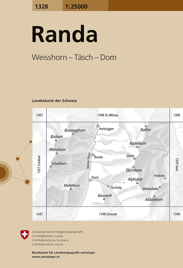
- Randa Swisstopo 1328
- Map No. 1328, Randa, in the topographic survey of Switzerland at 1:25,000 from Swisstopo. The map covers the central section of the Mattertal from just north of Zermatt to Herbriggen, and extends west to include Weisshorn and eastwards across the Mischabel range with Dom to outskirts of Saas Fee.Swiss topographic survey at 1:25,000 covers the... Read more
De Zwerver
Netherlands
- Wandelkaart - Topografische kaart 1328 Randa | Swisstopo
- Map No. 1328, Randa, in the topographic survey of Switzerland at 1:25,000 from Swisstopo. The map covers the central section of the Mattertal from just north of Zermatt to Herbriggen, and extends west to include Weisshorn and eastwards across the Mischabel range with Dom to outskirts of Saas Fee.Swiss topographic survey at 1:25,000 covers the... Read more