De Zwerver
Netherlands
Netherlands
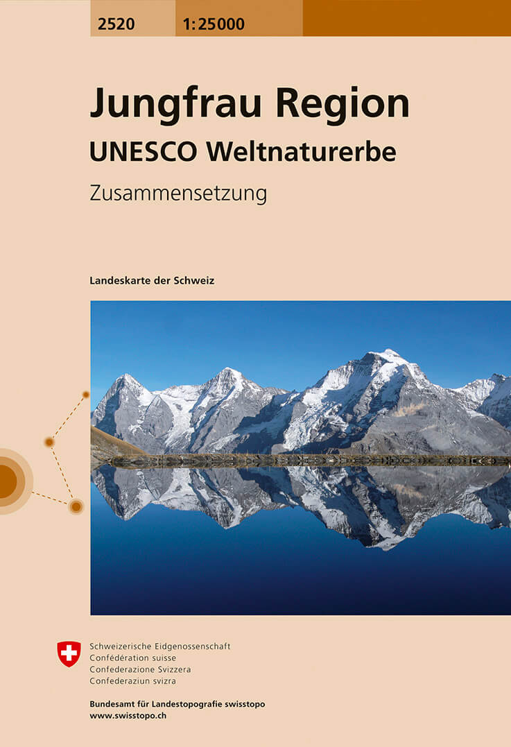
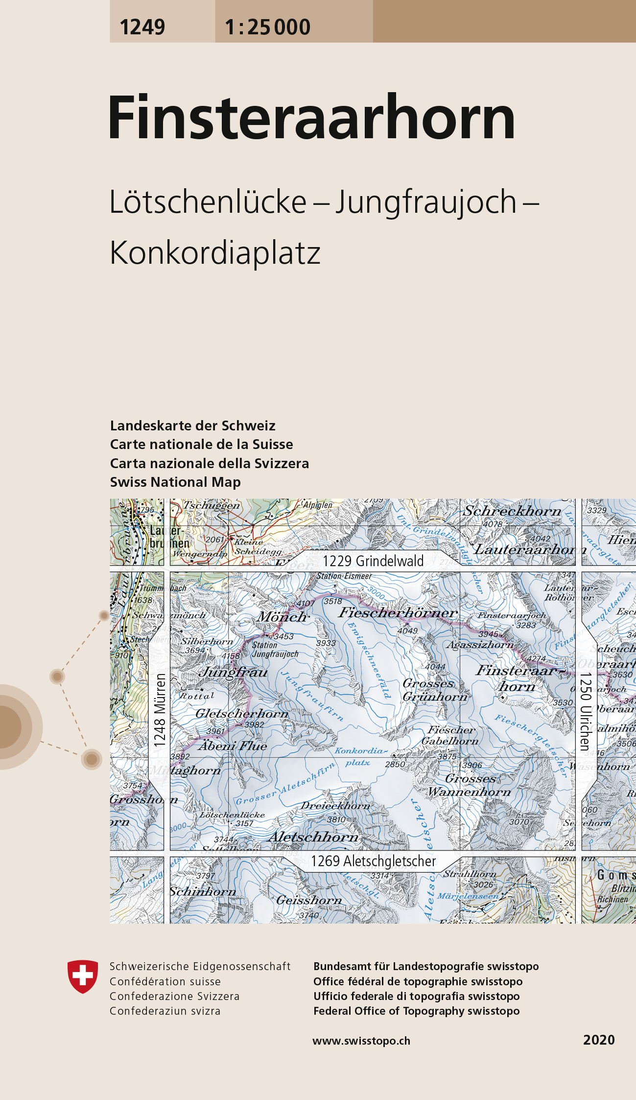
- Wandelkaart - Topografische kaart 1249 Finsteraarhorn | Swisstopo
- Map No. 1249, Finsteraarhorn, in the topographic survey of Switzerland at 1:25,000 from Swisstopo. Centered on the Konkordiaplatz, the map covers the upper part of the Aletsch Glacier with the peak of Aletschhorn right on its southern edge, and extends north to include the peaks of Jungfrau, M Read more