
Stanfords
United Kingdom
- Mount Makalu
- Mount Makalu, sheet no. 2787-01, in the topographic survey of Nepal at 1:50,000 published by the Nepali Government in the late 1990s and early 2000s and produced from remote sensing data by Finnish cartographers as part of that country’s international aid program. The maps cover 15’ x 15’ quadrangles.IMPORTANT – PLEASE NOTE BEFORE ORDERING:... Read more

Stanfords
United Kingdom
- Makalu Region Great Himalay Trail Map
- Makalu Region, map no. 102, at 1:100,000 on a waterproof and tear-resistant trekking map from the Himalayan MapHouse in their series covering the whole of northern Nepal. The map highlights main trekking routes from Tumlingtar northwards: the Makalu Base Camp Trek and the route to Kimathangka, a local route east of the town, plus the relevant... Read more

Stanfords
United Kingdom
- Solu Khumbu - Everest Region Great Himayala Trail Map
- Solu Khumbu/Everest Region, map no. 103, at 1:100,000 on a waterproof and tear-resistant trekking map from the Himalayan MapHouse in their series covering the whole of northern Nepal. The map highlights main trekking routes from Lukla, both north and south of the town: Everest Base Camp Trek, alternative routes to the Gokyo Lakes, Bhote Koshi... Read more
Bol.com
Netherlands
- Khumbu Himal Trekking-Karte 1 : 50 000
- Khumbu Himal area at 1:50,000 on a waterproof and tear-resistant map in the famous Schneider series, revised in 2013 to include extensive tourist information for trekking routes to the Mount Everest Base Camp, Gokyo Lakes, Island Peak, Makalu Base Camp, etc. Coverage extends north from Namche Bazaar and along the Tibetan border from the Lunag... Read more
Bol.com
Belgium
- Khumbu Himal Trekking-Karte 1 : 50 000
- Khumbu Himal area at 1:50,000 on a waterproof and tear-resistant map in the famous Schneider series, revised in 2013 to include extensive tourist information for trekking routes to the Mount Everest Base Camp, Gokyo Lakes, Island Peak, Makalu Base Camp, etc. Coverage extends north from Namche Bazaar and along the Tibetan border from the Lunag... Read more

Stanfords
United Kingdom
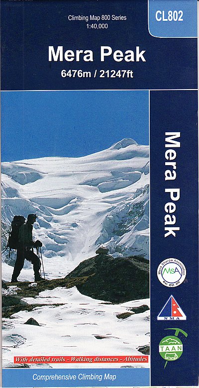
- Mera Peak
- Trekking route to the Mera peaks at 1:40,000 in the Nepa Maps series which provides extensive coverage of trekking areas of Nepal on detailed contoured maps with trekking routes and hiking trails, huts and camp sites, local places of interest and other tourist information.The map shows a section of the main Everest trek between Taksindu and... Read more
De Zwerver
Netherlands
- Wandelkaart CL802 Mera Peak climbing map | Himalayan Maphouse
- Trekking route to the Mera peaks at 1:40,000 in the Nepa Maps series which provides extensive coverage of trekking areas of Nepal on detailed contoured maps with trekking routes and hiking trails, huts and camp sites, local places of interest and other tourist information.The map shows a section of the main Everest trek between Taksindu and... Read more
Bol.com
Netherlands
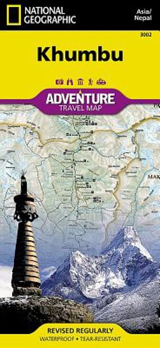
- Khumbu, Nepal
- Detailed topographic trekking map for the Khumbu region of Nepal. Includes coverage of Sagarmatha National Park, Makalu Barun National Park, and the western bordering foothills. Read more
Bol.com
Belgium
- Khumbu, Nepal
- Detailed topographic trekking map for the Khumbu region of Nepal. Includes coverage of Sagarmatha National Park, Makalu Barun National Park, and the western bordering foothills. Read more
De Zwerver
Netherlands
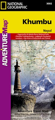
- Wandelkaart 3002 trekking map Khumbu - Nepal | National Geographic
- Mooie gedetailleerde topografische kaart, voorzien van veel extra info en gedrukt op water- en scheurvast materiaal. Each Adventure Map is highly detailed, incredibly durable, waterproof and tear-resistant. Stunning shaded relief brings each map to life, giving you the power to discover, plan and dream. Trail routes, villages, cultivated areas,... Read more

Stanfords
United Kingdom
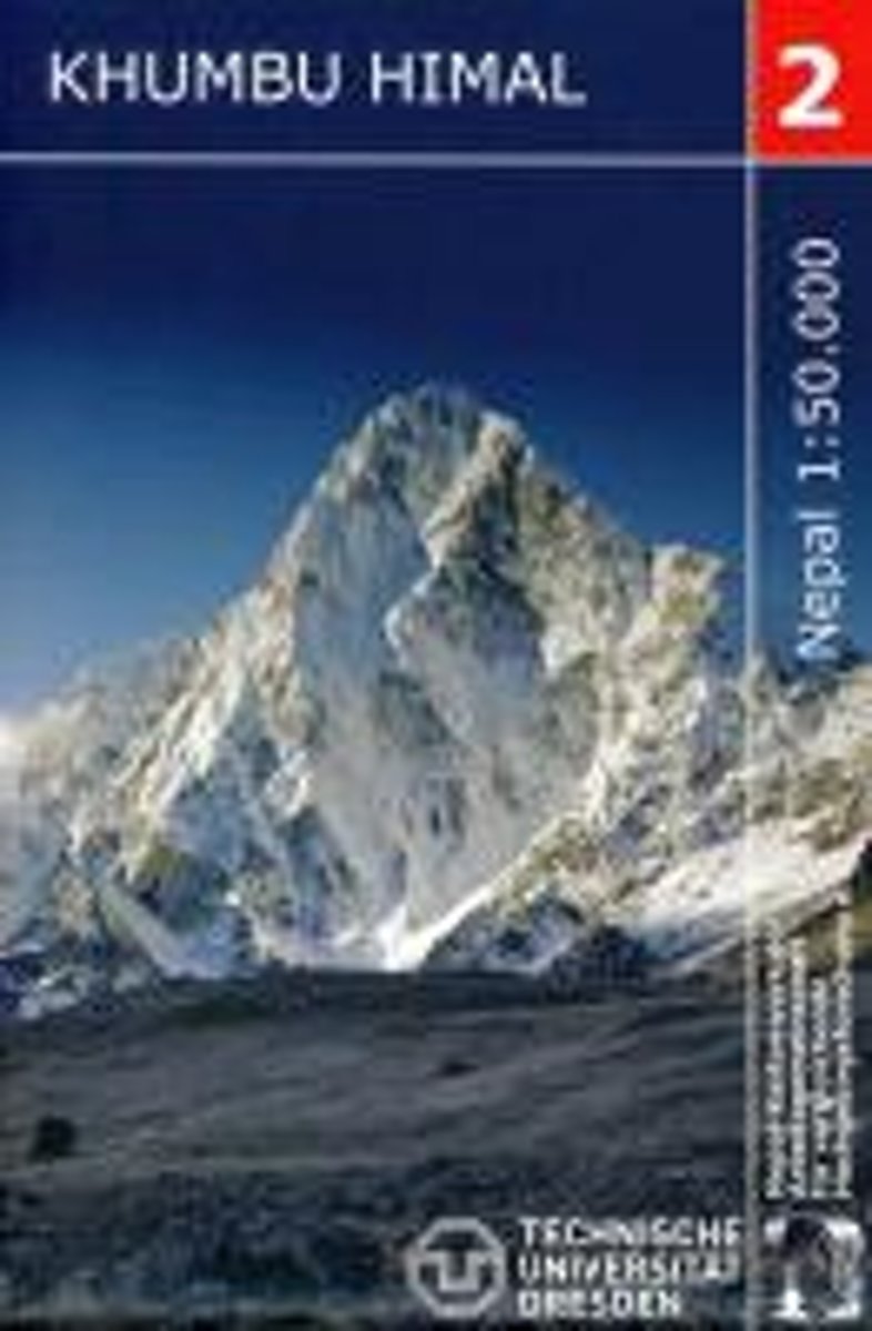
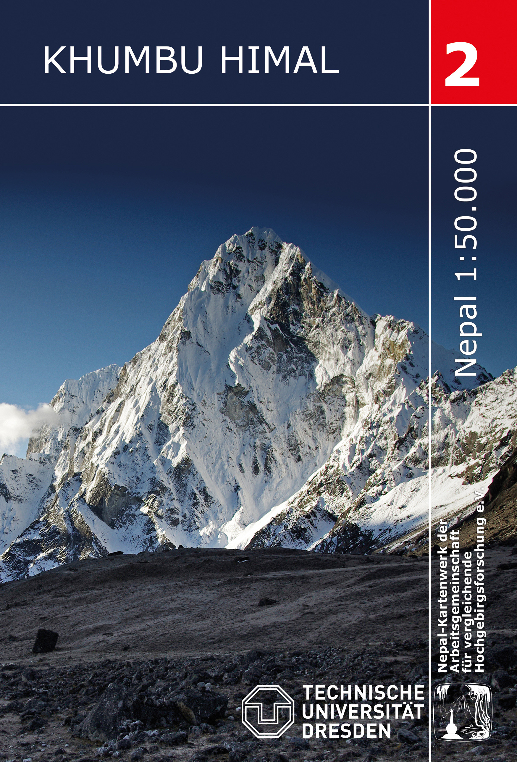
- Khumbu Himal Schneider Nepal Map 02
- Khumbu Himal area at 1:50,000 on a waterproof and tear-resistant map in the famous Schneider series, revised in 2013 to include extensive tourist information for trekking routes to the Mount Everest Base Camp, Gokyo Lakes, Island Peak, Makalu Base Camp, etc. Coverage extends north from Namche Bazaar and along the Tibetan border from the Lunag... Read more
De Zwerver
Netherlands
- Wandelkaart 02 Nepal Khumbu Himal | Nepal Kartenwerk
- Khumbu Himal area at 1:50,000 on a waterproof and tear-resistant map in the famous Schneider series, revised in 2013 to include extensive tourist information for trekking routes to the Mount Everest Base Camp, Gokyo Lakes, Island Peak, Makalu Base Camp, etc. Coverage extends north from Namche Bazaar and along the Tibetan border from the Lunag... Read more