Stanfords
United Kingdom
Stanfords
United Kingdom
Stanfords
United Kingdom
» Click to open
Bol.com
Netherlands
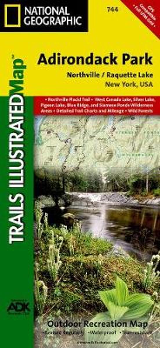
  • Northville/raquette Lake, Adirondack Park
  • • Waterproof • Tear-Resistant • Topographic MapNational Geographic's Trails Illustrated map of Adirondack Park Northville/Raquette Lake is a two-sided, waterproof, topographic trail map designed to meet the needs of outdoor enthusiasts with unmatched durability and detail. This map was created in cooperation with the Adirondack Mountain Club... Read more
Bol.com
Belgium
  • Northville/raquette Lake, Adirondack Park
  • • Waterproof • Tear-Resistant • Topographic MapNational Geographic's Trails Illustrated map of Adirondack Park Northville/Raquette Lake is a two-sided, waterproof, topographic trail map designed to meet the needs of outdoor enthusiasts with unmatched durability and detail. This map was created in cooperation with the Adirondack Mountain Club... Read more
De Zwerver
Netherlands
» Click to close
Stanfords
United Kingdom
2016
» Click to open
Bol.com
Netherlands
2016
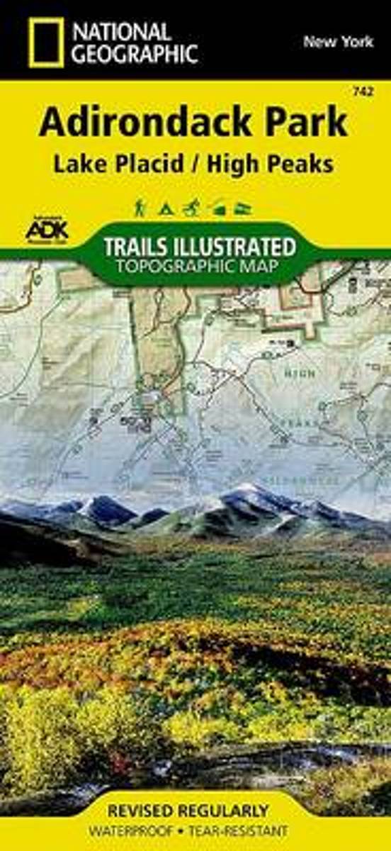
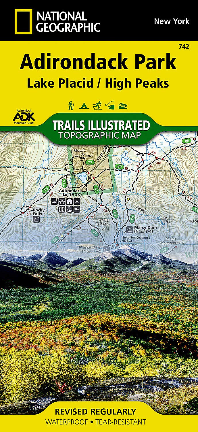
  • Lake Placid/high Peaks, Adirondack Park
  • Waterproof Tear-Resistant Topographic MapNational Geographic's Trails Illustrated map of Adirondack Park Lake Placid/High Peaks is a two-sided, waterproof, topographic trail map designed to meet the needs of outdoor enthusiasts with unmatched durability and detail. Discover the Adirondack's wild, rugged, and beautiful terrain with the... Read more
Bol.com
Belgium
2016
  • Lake Placid/high Peaks, Adirondack Park
  • Waterproof Tear-Resistant Topographic MapNational Geographic's Trails Illustrated map of Adirondack Park Lake Placid/High Peaks is a two-sided, waterproof, topographic trail map designed to meet the needs of outdoor enthusiasts with unmatched durability and detail. Discover the Adirondack's wild, rugged, and beautiful terrain with the... Read more
De Zwerver
Netherlands
2016
  • Wandelkaart Lake Placid, High Peaks: Adirondack Park Map | National Geographic
  • Map No. 742, Adirondack Park: Lake Placid - High Peaks, NY, in an extensive series of GPS compatible, contoured hiking maps of USA’s national and state parks or forests and other popular recreational areas. Cartography based on the national topographic survey, with additional tourist information.The maps, with most titles now printed on light,... Read more
» Click to close
Stanfords
United Kingdom
» Click to open
Bol.com
Netherlands
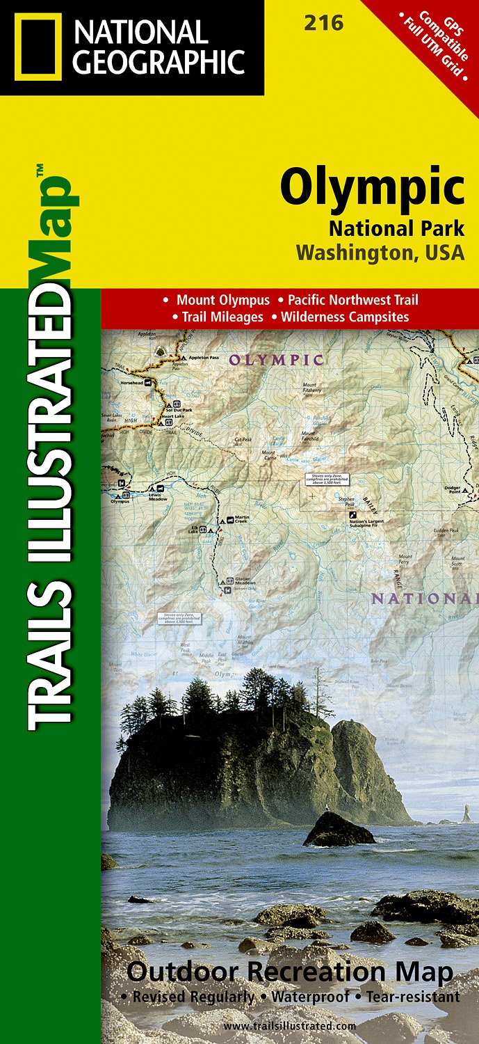
  • Olympic National Park
  • • Waterproof • Tear-Resistant • Topographic MapOlympic National Park encompasses four distinctly different ecosystems in its nearly one million acres. National Geographic's Trails Illustrated map of Olympic National Park offers outdoors enthusiasts a valuable tool for exploring the park's old-growth forests, glaciers, untamed rivers, and rugged... Read more
Bol.com
Belgium
  • Olympic National Park
  • • Waterproof • Tear-Resistant • Topographic MapOlympic National Park encompasses four distinctly different ecosystems in its nearly one million acres. National Geographic's Trails Illustrated map of Olympic National Park offers outdoors enthusiasts a valuable tool for exploring the park's old-growth forests, glaciers, untamed rivers, and rugged... Read more
De Zwerver
Netherlands
  • Wandelkaart 216 Olympic National Park | National Geographic
  • Prachtige geplastificeerde kaart van het bekende nationaal park. Met alle recreatieve voorzieningen als campsites, maar ook met topografische details en wandelroutes ed. Door uitgekiend kleurgebruik zeer prettig in gebruik. Scheur en watervast! Within the park, there is detailed coverage of Mount Olympus, Tshletshy Ridge, Hurrican Ridge,... Read more
» Click to close