
Corsica
Description

 destination in the Mediterranean, has good hiking possibilities. To start with, the GR20 is a challenging two weeks hike crossing the mountainous interior of the island. The GR20 is said to be the most difficult of the French Grand Randonnees, long distance hiking trails. For sure: it is very popular. Less challenging hikes take you across the island from coast to coast, passing rural areas and "maquis', dry shrub. These hikes are Mare a Mare Nord, Centre, Sud, and Mare e Monti.
A rewarding hiking destination is Li Pozzi, a mountain range not far from the GR20 in the south of the island.
Map

Trails in this region
Links
Facts
Reports
Guides and maps
Lodging
Organisations
Tour operators
GPS
Other
Books

Stanfords
United Kingdom
United Kingdom
- Corsica 8/2012 – REMOVED FROM WEBSITE BECAUSE OF DISTRIBUTION PROBLEMS
- Corsica in the Landmark Visitor Guides series, exploring a range of places in Britain, Europe and the Caribbean, with a particular expertise in UK destinations. Each guide presents the reader with detailed, wide-ranging and accessible overview of the region or area, with a particular focus on history and culture, notable local attractions, the... Read more

Stanfords
United Kingdom
2019
United Kingdom
2019
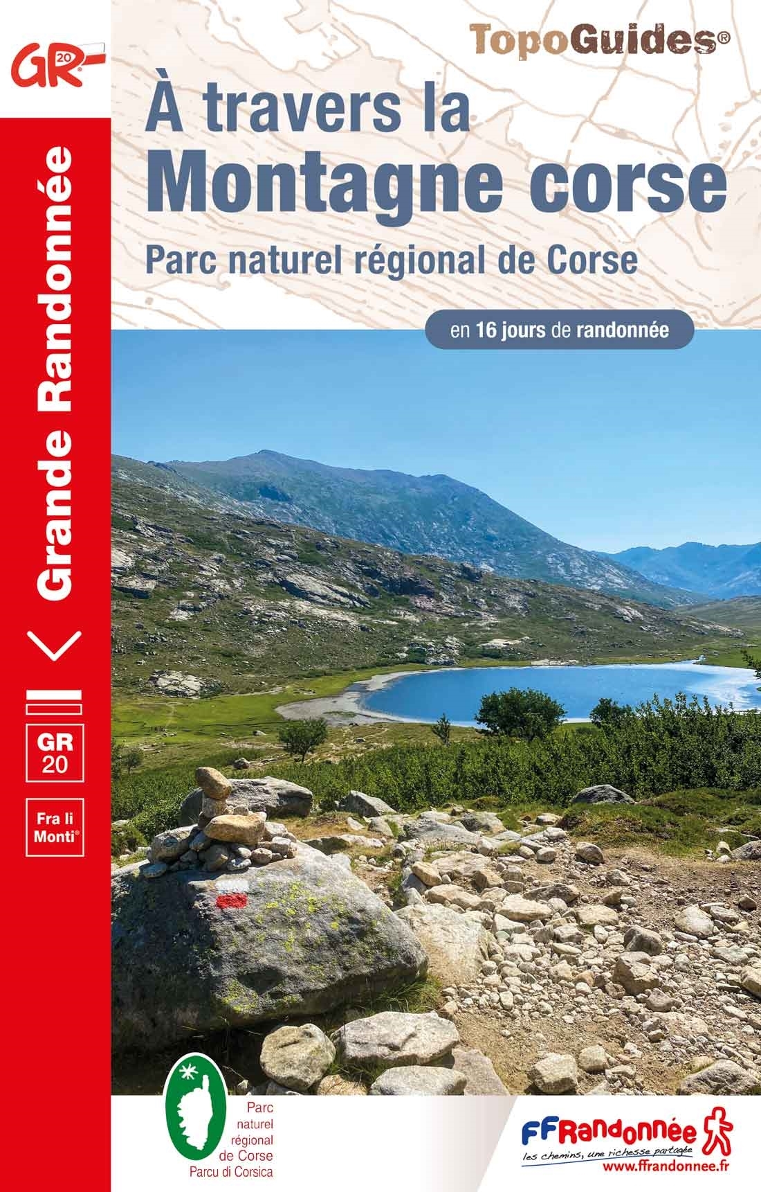
- A Travers la Montagne Corse - PNR de Corse GR20
- À Travers la Montagne Corse, FFRP topoguide Ref. No. 067, covering one of Europe’s most popular and demanding long-distance hiking walking trails, the 200km/125 miles-long high-level route across the mountains of Corsica. Current edition of this title was published in March 2014.To see other titles in this series please click on the series... Read more
Stanfords
United Kingdom
2019
United Kingdom
2019
- Corse entre Mer et Montagne
- Corse entre Mer et Montagne, FFRP topoguide Ref. No. 065, covering various trails across the mountains of Corsica which provide shorter and/or easier alternatives to the popular but longer and more strenuous GR20. Current edition of this title was published in April 2016.ABOUT THE FFRP (Fédération française de la randonnée pédestre) TOPOGUIDES:... Read more

- Also available from:
- De Zwerver, Netherlands

Stanfords
United Kingdom
2020
United Kingdom
2020
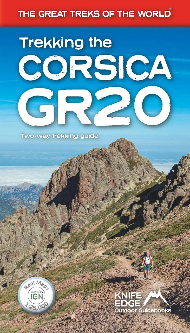
- Trekking the Corsica GR20 - Two-Way Trekking Guide - Real IGN Maps 1:25,000
- The definitive guidebook to the Corsica GR20, one of the world`s great treks. -The only two-way guidebook to the GR20: both northbound and southbound routes are described in full. - Real IGN Maps included (1:25,000): no need to carry separate maps. -15 different itineraries: schedules of 9, 10, 11, 12, 13, 14, 15 and 16 days. Includes both... Read more
- Also available from:
- The Book Depository, United Kingdom
- De Zwerver, Netherlands

The Book Depository
United Kingdom
2020
United Kingdom
2020

Stanfords
United Kingdom
2019
United Kingdom
2019
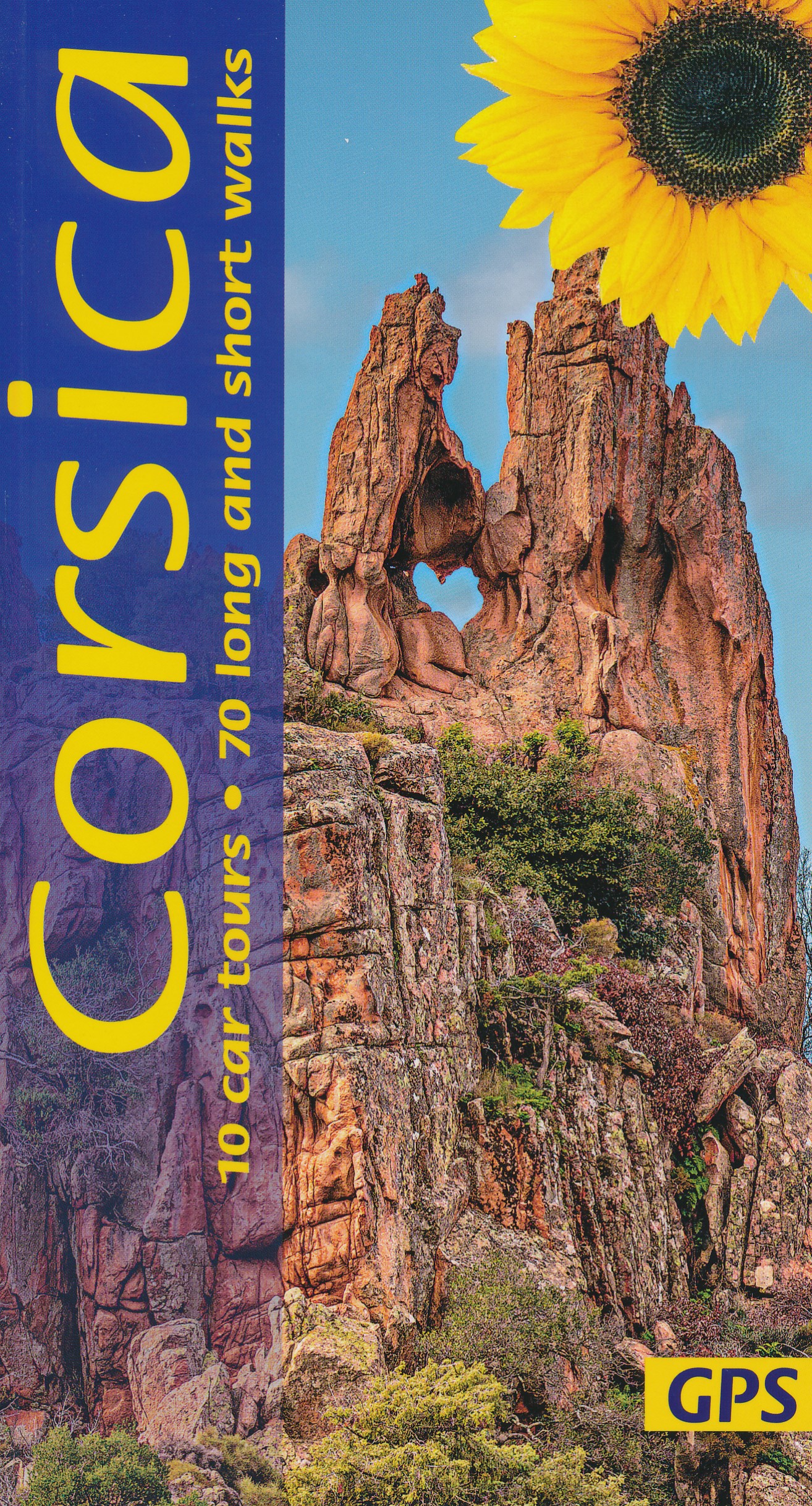
- Corsica Sunflower Landscape Guide
- This new 7th edition of Corsica has been thoroughly revised just a few months prior to publication. The format of the book has been widened, to eliminate any loss of mapping in the gutter and also to allow larger type. Waypoints mentioned in the text (printed in red) are repeated on the maps, and free downloadable GPS tracks are available for... Read more
- Also available from:
- The Book Depository, United Kingdom
- De Zwerver, Netherlands

The Book Depository
United Kingdom
2019
United Kingdom
2019
- Corsica Sunflower Guide
- 70 long and short walks with detailed maps and GPS; 10 car tours with pull-out map Read more

The Book Depository
United Kingdom
2021
United Kingdom
2021
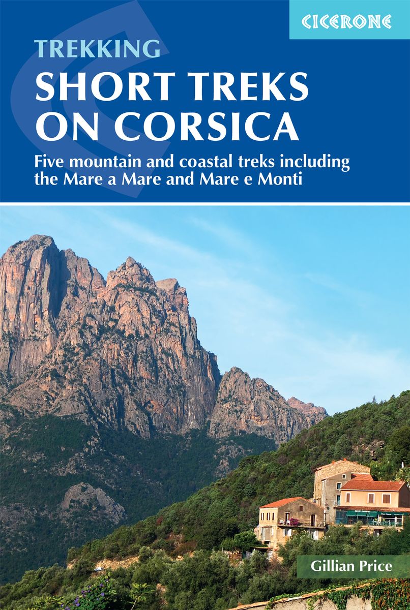
- Short Treks on Corsica
- Five mountain and coastal treks including the Mare a Mare and Mare e Monti Read more
- Also available from:
- De Zwerver, Netherlands
De Zwerver
Netherlands
2021
Netherlands
2021
- Wandelgids Short Treks in Corsica | Cicerone
- Five mountain and coastal treks including the Mare a Mare and Mare e Monti Read more

Stanfords
United Kingdom
2021
United Kingdom
2021
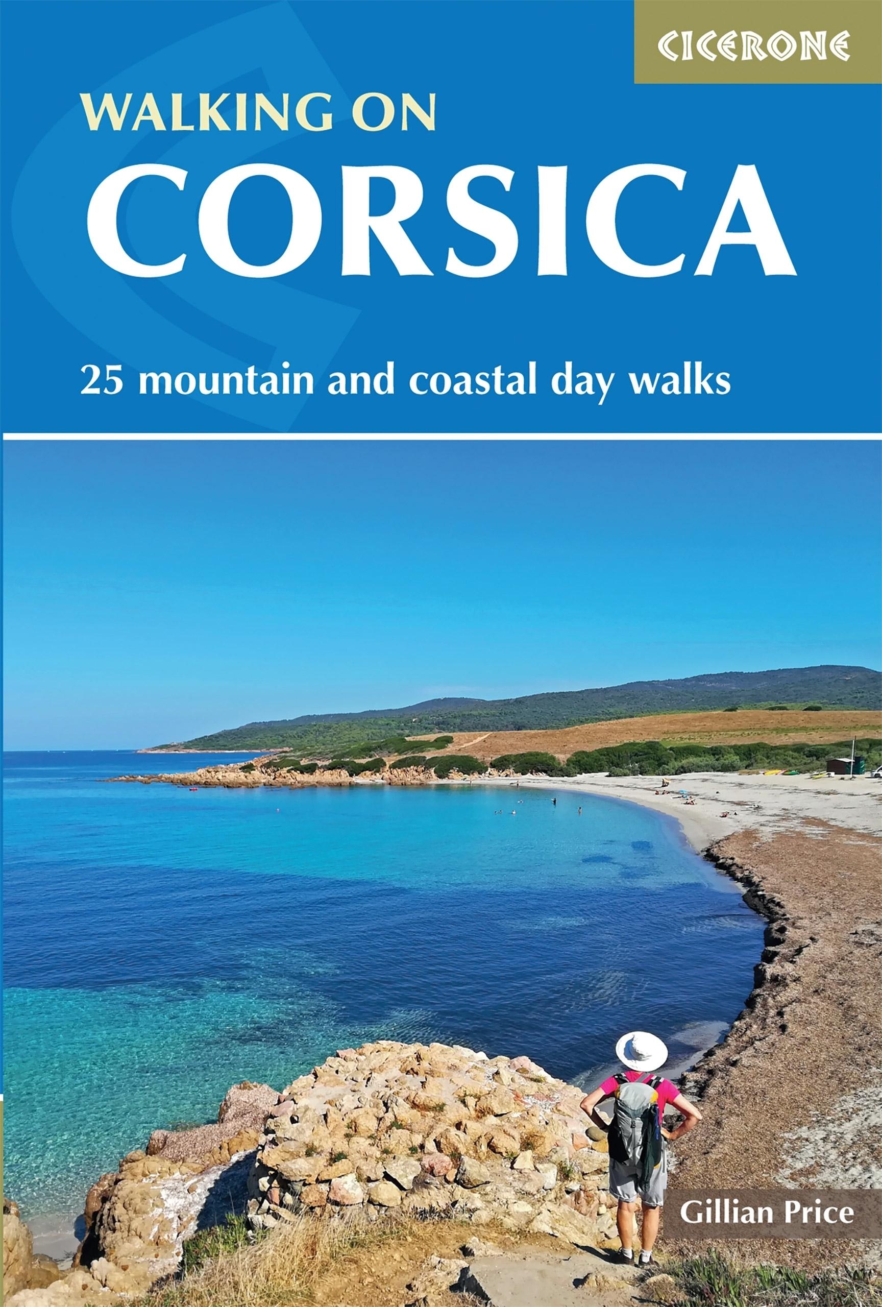
- Walking on Corsica: 25 mountain and coastal day walks
- With stunning coastlines and impressive craggy mountains, Corsica is an island with diverse landscapes for day walkers of all abilities to enjoy. Across 25 day walks, this guidebook explores sandy beaches, forested river valleys, and waterfalls, as well as high mountain passes to lookouts and glacial lakes. This guidebook is a brilliant... Read more
- Also available from:
- The Book Depository, United Kingdom
- De Zwerver, Netherlands

De Zwerver
Netherlands
2021
Netherlands
2021
- Wandelgids Walking on Corsica | Cicerone
- With stunning coastlines and impressive craggy mountains, Corsica is an island with diverse landscapes for day walkers of all abilities to enjoy. Across 25 day walks, this guidebook explores sandy beaches, forested river valleys, and waterfalls, as well as high mountain passes to lookouts and glacial lakes. This guidebook is a brilliant... Read more
Stanfords
United Kingdom
2022
United Kingdom
2022
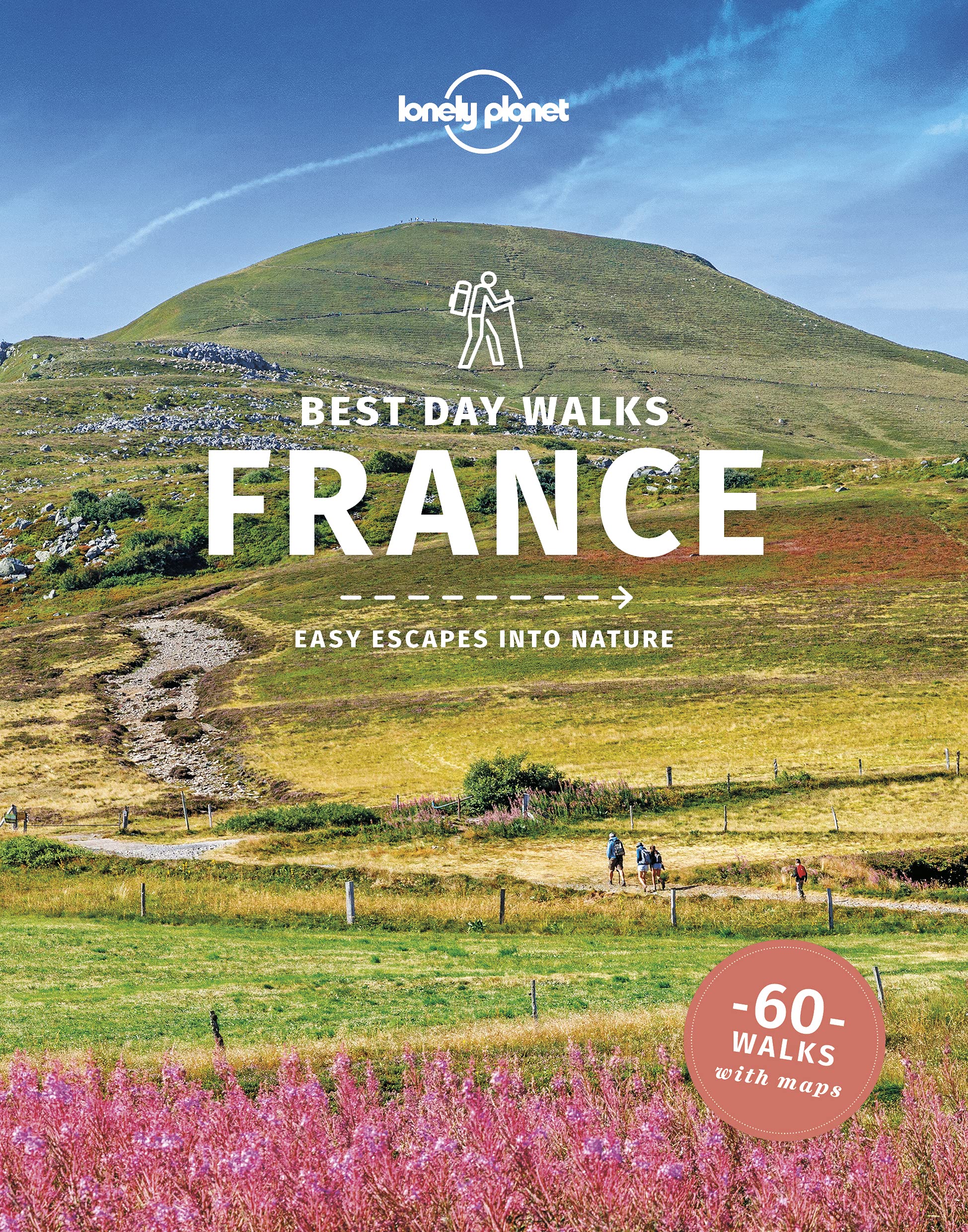
- Lonely Planet Best Day Walks France
- Lonely Planet`s Best Day Walks France is your passport to 60 easy escapes into nature. Stretch your legs away from the city by picking a walk that works for you, from just a couple of hours to a full day, from easy to hard. Explore the Pyrenees, hike the French Alps, and marvel at beautiful Corsica. Inside Lonely Planet`s Best Day Walks... Read more
- Also available from:
- The Book Depository, United Kingdom
- De Zwerver, Netherlands
The Book Depository
United Kingdom
2022
United Kingdom
2022
- Lonely Planet Best Day Walks France
- Lonely Planet`s Best Day Walks France is your passport to 60 easy escapes into nature. Stretch your legs away from the city by picking a walk that works for you, from just a couple of hours to a full day, from easy to hard. Explore the Pyrenees, hike the French Alps, and marvel at beautiful Corsica. Inside Lonely Planet`s Best Day Walks... Read more

De Zwerver
Netherlands
2022
Netherlands
2022
- Wandelgids Best Day Walks France - Frankrijk | Lonely Planet
- Lonely Planet`s Best Day Walks France is your passport to 60 easy escapes into nature. Stretch your legs away from the city by picking a walk that works for you, from just a couple of hours to a full day, from easy to hard. Explore the Pyrenees, hike the French Alps, and marvel at beautiful Corsica. Inside Lonely Planet`s Best Day Walks... Read more
Bol.com
Netherlands
2015
Netherlands
2015
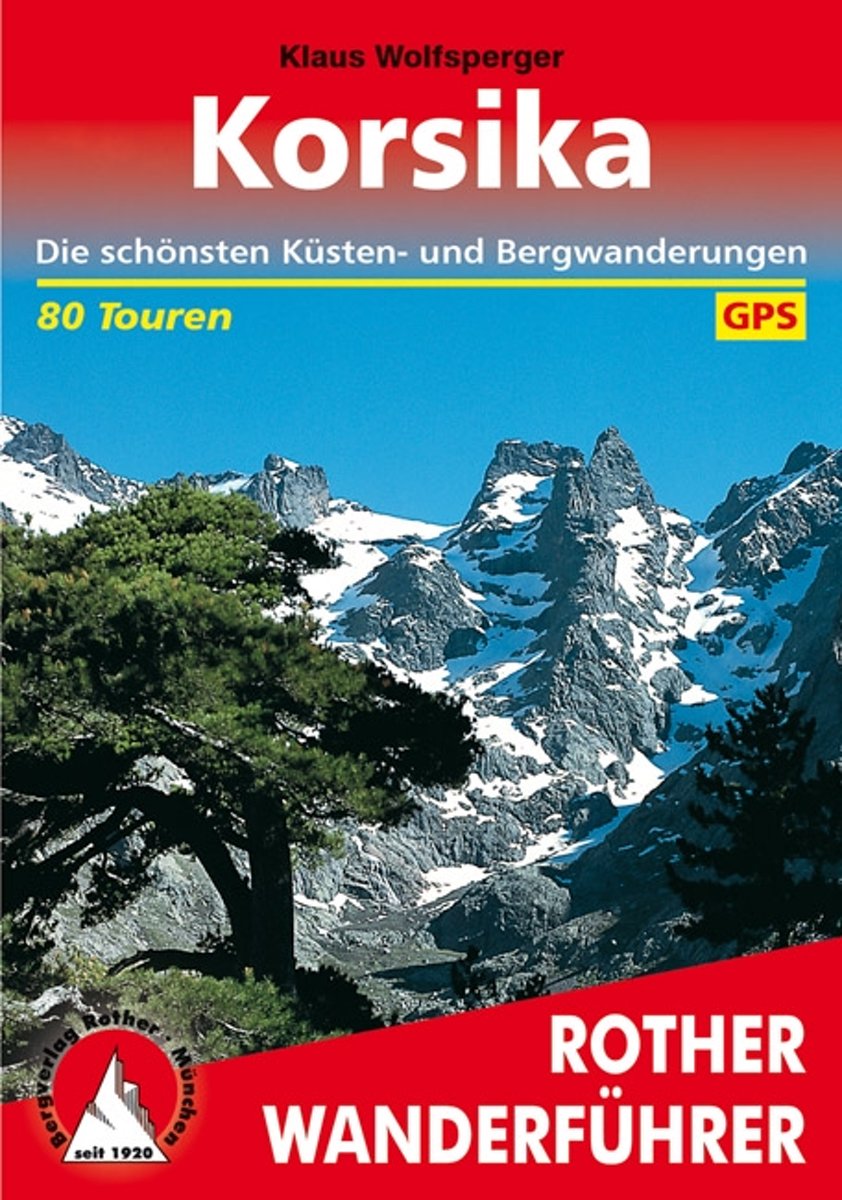
- Wanderungen Auf Korsika
- Das Standardwerk zu Korsika 80 ausgew hlte Wanderungen an den K sten und in den Bergen der Insel der Sch nheit Bizarre Felsk sten, liebliche Sandbuchten, herrliche Kastanien- und Kiefernw lder, blitzsaubere B che, zauberhafte Bergseen, Gipfelziele bis ber 2700 Meter H he, und dazu noch ein weitgehend ungetr btes Naturerlebnis welche... Read more
- Also available from:
- Bol.com, Belgium
- De Zwerver, Netherlands
Bol.com
Belgium
2015
Belgium
2015
- Wanderungen Auf Korsika
- Das Standardwerk zu Korsika 80 ausgew hlte Wanderungen an den K sten und in den Bergen der Insel der Sch nheit Bizarre Felsk sten, liebliche Sandbuchten, herrliche Kastanien- und Kiefernw lder, blitzsaubere B che, zauberhafte Bergseen, Gipfelziele bis ber 2700 Meter H he, und dazu noch ein weitgehend ungetr btes Naturerlebnis welche... Read more
De Zwerver
Netherlands
2023
Netherlands
2023
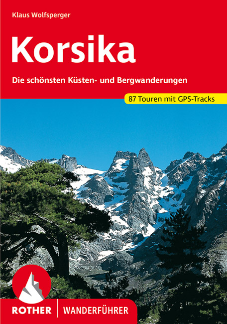
- Wandelgids 255 Korsika - Corsica | Rother Bergverlag
- Uitstekende wandelgids met een groot aantal dagtochten in dal en hooggebergte. Met praktische informatie en beperkt kaartmateriaal! Wandelingen in verschillende zwaarte weergegeven in rood/blauw/zwart. Das Standardwerk zu Korsika – 58 ausgewählte Wanderungen an den Küsten und in den Bergen der »Insel der Schönheit« Bizarre Felsküsten, liebliche... Read more

Stanfords
United Kingdom
2016
United Kingdom
2016
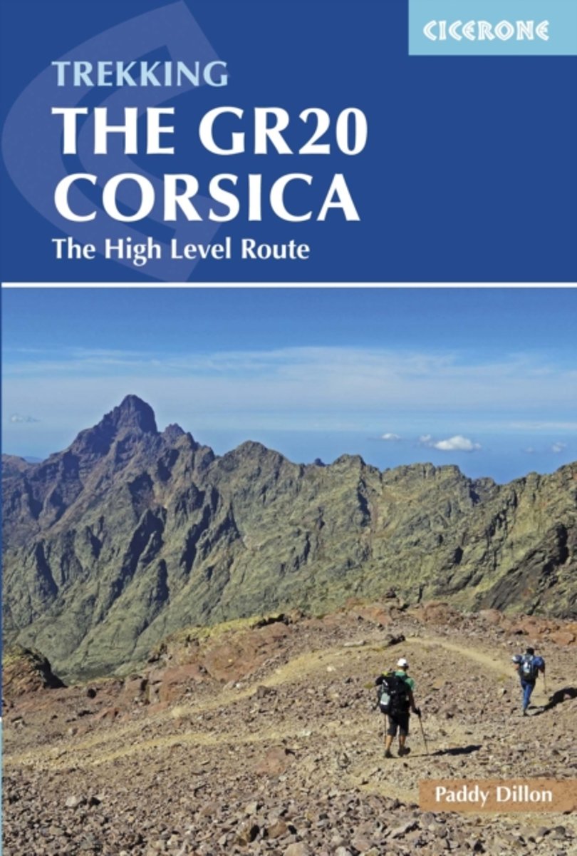
- The GR20 Corsica: The High Level Route
- This guidebook describes the classic GR20 trek, the north to south traverse of the rugged mountains of Corsica. Starting in Corscia`s north-west, in picturesque Calenzana, the route winds south-east, through the heart of Corsica, finishing on the eastern side of the island, just north of Porto Vecchio in the township of Conca. Described in 16... Read more
- Also available from:
- Bol.com, Netherlands
- Bol.com, Belgium
Bol.com
Netherlands
2016
Netherlands
2016
- GR20 Corsica
- This guidebook describes the classic GR20 trek, the north to south traverse of the rugged mountains of Corsica. Starting in Corscia's north-west, in picturesque Calenzana, the route winds south-east, through the heart of Corsica, finishing on the eastern side of the island, just north of Porto Vecchio in the township of Conca. Described in 16... Read more
Bol.com
Belgium
2016
Belgium
2016
- GR20 Corsica
- This guidebook describes the classic GR20 trek, the north to south traverse of the rugged mountains of Corsica. Starting in Corscia's north-west, in picturesque Calenzana, the route winds south-east, through the heart of Corsica, finishing on the eastern side of the island, just north of Porto Vecchio in the township of Conca. Described in 16... Read more
De Zwerver
Netherlands
2018
Netherlands
2018
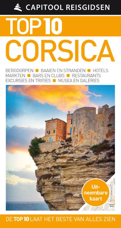
- Reisgids Capitool Top 10 Corsica | Unieboek
- De naam zegt het al: een compacte versie van de veel geprezen Capitool serie. Eigenlijk vergelijkbaar met veel illustraties, veel aandacht voor cultuur en bevolking en hier en daar praktische informatie. Kleine versie, handig in de binnenzak. Zon, zee en strand Of je nu wilt zwemmen in de azuurblauwe zee, een wandeltocht wilt maken door het... Read more
Maps

Stanfords
United Kingdom
United Kingdom
- Eschenbach in der Oberpfalz E12
- Eschenbach i.d.OPf. in a series of GPS compatible recreational editions of the Bavarian topographic survey at 1:25,000, with waymarked hiking trails and cycling routes, campsites and youth hostels, etc. Coverage includes Creußen, Kirchenthumbach, Speichersdorf, Kemnath, Neustadt am Kulm, Grafenwöhr.Contours used in this map vary between 5 to... Read more

Stanfords
United Kingdom
United Kingdom
- Vercors Didier Richard
- The Vercors region of the French Alps at 1:60,000 on a contoured and GPS compatible map from Didier Richard with a base derived from IGN’s topographic survey, highlighting both local hiking routes and the GR network of long-distance paths, gîtes and mountain refuges, interesting natural and cultural sites, etc. Coverage extends fro Grenoble... Read more

Stanfords
United Kingdom
United Kingdom
- Corsica IGN Regional NR17
- IGN publishes its new collection of regional maps including the official division of the 13 new regions. The largest regions are well represented on a single map. These maps are double sided and in 6 languages. Read more

Stanfords
United Kingdom
United Kingdom
- IT2 Elba to Naples
- Passage ChartsC 1 Mallorca to Sicily 1:1,750,000C 2 Corsica Channel to Mt. Argentario 1:350,000C 3 Mt. Argentario to Capo Circeo 1:350,000C 4 Capo Circeo to Capri 1:350,000Coastal ChartsC 5 Tuscan Islands South 1:150,000C 6 Pta. Ala to Mt. Argentario 1:150,000C 7 Mt. Argentario to Capo Linaro 1:150,000C 8 Capo Linaro to Rome 1:150,000C 9 Rome... Read more
Stanfords
United Kingdom
United Kingdom
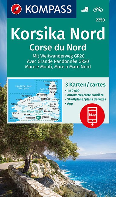
- Corsica North 3-Map Set Kompass 2250
- The northern half of Corsica at 1:50,000 on a set of three double-sided, contoured and GPS compatible maps from Kompass with highlighting for walking / hiking trails including the GR20, cycle routes, campsites and mountain shelters, recreational facilities, etc, plus a road map of the whole island and town centre street plans of several... Read more

Stanfords
United Kingdom
United Kingdom
- Corsica South 3-Map Set Kompass 2251
- The southern half of Corsica at 1:50,000 on a set of three double-sided, contoured and GPS compatible maps from Kompass with highlighting for walking / hiking trails including the GR20, cycle routes, campsites and mountain shelters, recreational facilities, etc, plus a road map of the whole island and town centre street plans of several... Read more

Stanfords
United Kingdom
United Kingdom
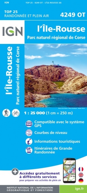
- l`Ile Rousse - PNR de Corse IGN 4249OT
- Topographic survey of France at 1:25,000 in IGN`s excellent TOP25 / Série Bleue series. All the maps are GPS compatible, with a 1km UTM grid plus latitude and longitude lines at 5’ intervals. Contours are at 5m intervals except for mountainous areas where the maps have contours at 10m intervals, vividly enhanced by hill shading and graphics for... Read more
- Also available from:
- The Book Depository, United Kingdom
- De Zwerver, Netherlands

De Zwerver
Netherlands
Netherlands

Stanfords
United Kingdom
United Kingdom
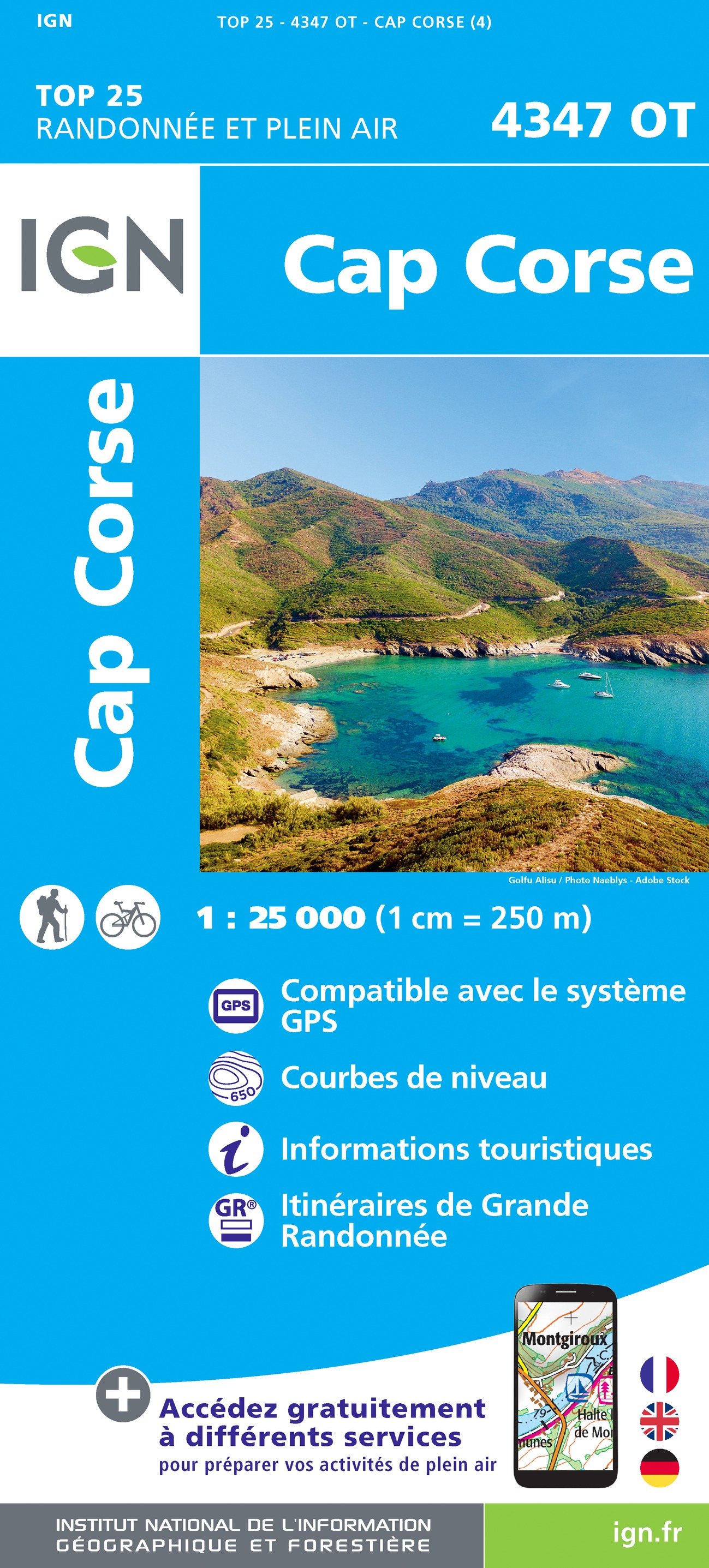
- Cap Corse IGN 4347OT
- Topographic survey of France at 1:25,000 in IGN`s excellent TOP25 / Série Bleue series. All the maps are GPS compatible, with a 1km UTM grid plus latitude and longitude lines at 5’ intervals. Contours are at 5m intervals except for mountainous areas where the maps have contours at 10m intervals, vividly enhanced by hill shading and graphics for... Read more
- Also available from:
- The Book Depository, United Kingdom
- De Zwerver, Netherlands

De Zwerver
Netherlands
Netherlands

Stanfords
United Kingdom
United Kingdom
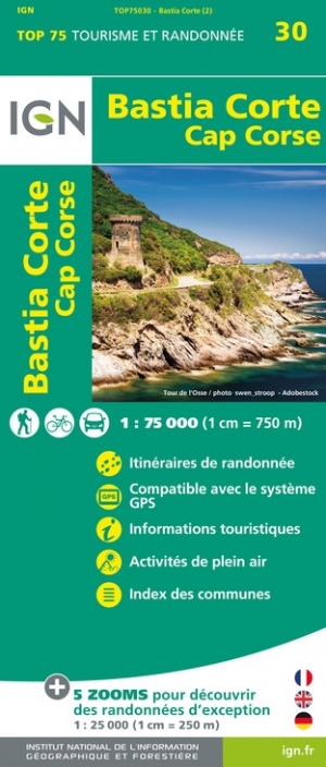
- Bastia - Corte - Cap Corse IGN 75030
- TOP75 IGN maps (Tourism & Hiking) are ideal for discovering exceptional regions. Thanks to their ultra-precise mapping at a scale of 1: 75,000, you can practice your favorite leisure activities: on foot by bike or by car. These maps include, in addition, 5 extracts of TOP25 at a scale of 1: 25 000 for hiking in exceptional natural sites. Read more
- Also available from:
- The Book Depository, United Kingdom
- De Zwerver, Netherlands

De Zwerver
Netherlands
Netherlands

Stanfords
United Kingdom
United Kingdom
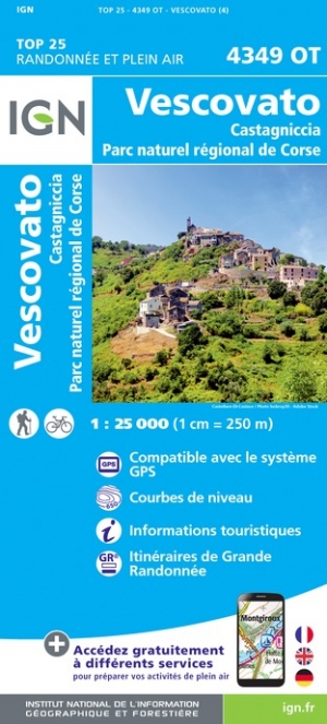
- Vescovato - Castagniccia - PNR de Corse IGN 4349OT
- Topographic survey of France at 1:25,000 in IGN`s excellent TOP25 / Série Bleue series. All the maps are GPS compatible, with a 1km UTM grid plus latitude and longitude lines at 5’ intervals. Contours are at 5m intervals except for mountainous areas where the maps have contours at 10m intervals, vividly enhanced by hill shading and graphics for... Read more
- Also available from:
- The Book Depository, United Kingdom
- De Zwerver, Netherlands

De Zwerver
Netherlands
Netherlands
Stanfords
United Kingdom
United Kingdom
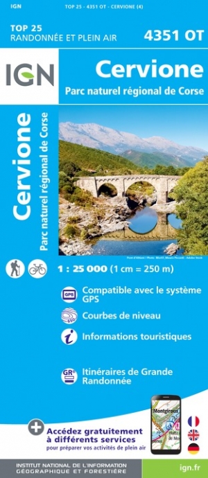
- Cervione - PNR de Corse IGN 4351OT
- Topographic survey of France at 1:25,000 in IGN`s excellent TOP25 / Série Bleue series. All the maps are GPS compatible, with a 1km UTM grid plus latitude and longitude lines at 5’ intervals. Contours are at 5m intervals except for mountainous areas where the maps have contours at 10m intervals, vividly enhanced by hill shading and graphics for... Read more
- Also available from:
- The Book Depository, United Kingdom
- De Zwerver, Netherlands


De Zwerver
Netherlands
Netherlands

Stanfords
United Kingdom
United Kingdom
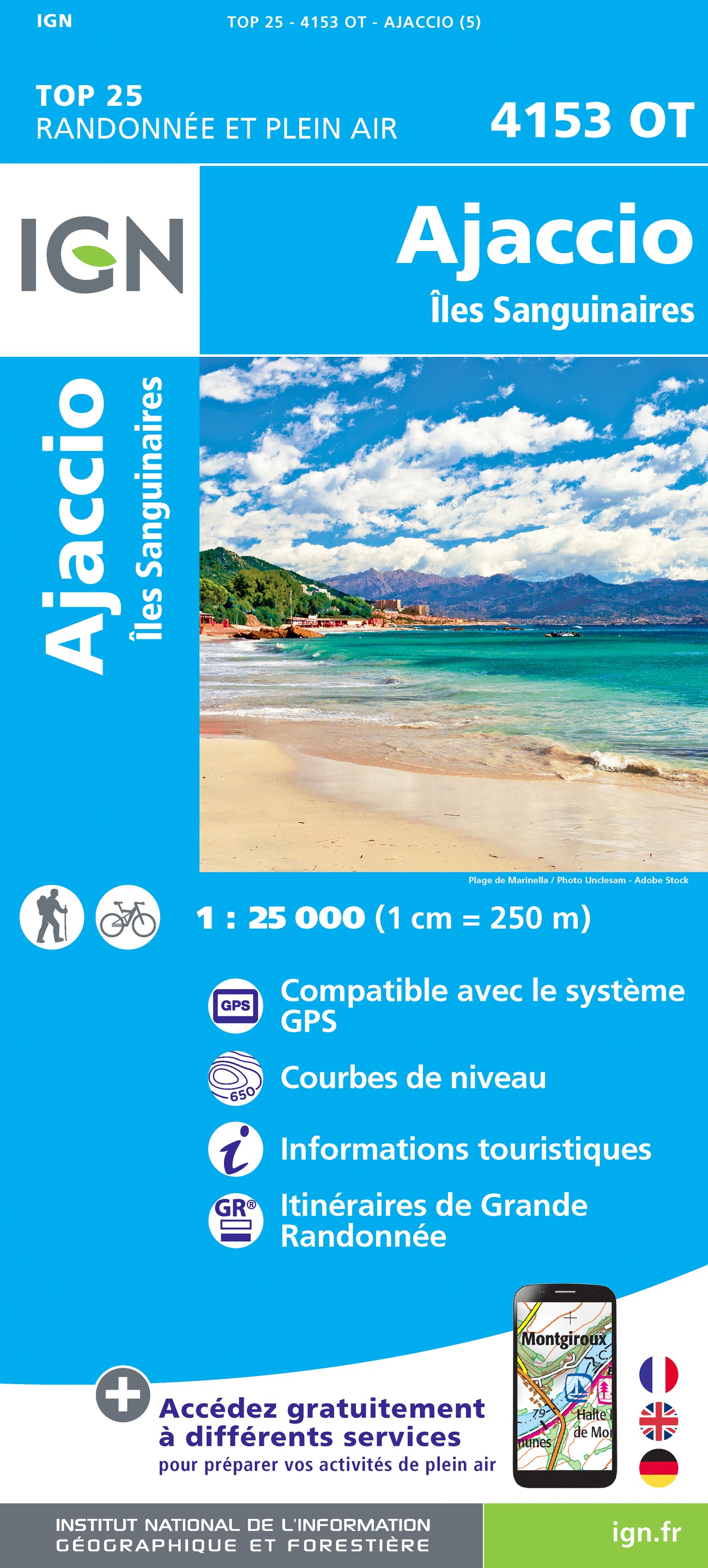
- Ajaccio - Iles Sanguinaires IGN 4153OT
- Topographic survey of France at 1:25,000 in IGN`s excellent TOP25 / Série Bleue series. All the maps are GPS compatible, with a 1km UTM grid plus latitude and longitude lines at 5’ intervals. Contours are at 5m intervals except for mountainous areas where the maps have contours at 10m intervals, vividly enhanced by hill shading and graphics for... Read more
- Also available from:
- The Book Depository, United Kingdom
- De Zwerver, Netherlands

De Zwerver
Netherlands
Netherlands

Stanfords
United Kingdom
United Kingdom
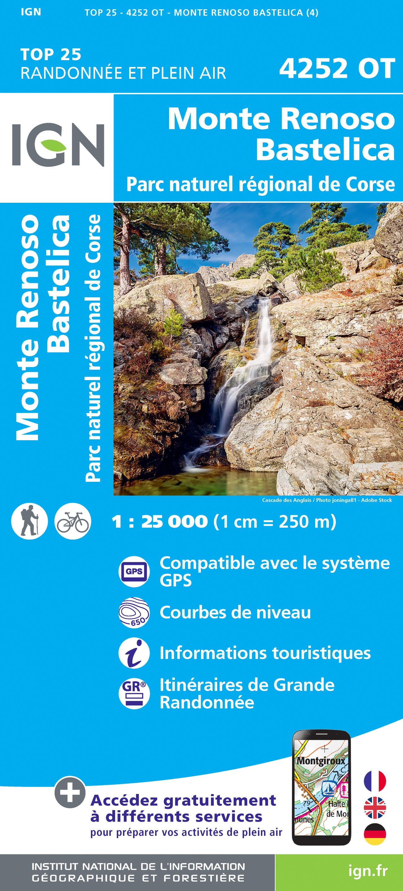
- Monte Renoso - Bastelica - PNR de Corse IGN 4252OT
- Topographic survey of France at 1:25,000 in IGN`s excellent TOP25 / Série Bleue series. All the maps are GPS compatible, with a 1km UTM grid plus latitude and longitude lines at 5’ intervals. Contours are at 5m intervals except for mountainous areas where the maps have contours at 10m intervals, vividly enhanced by hill shading and graphics for... Read more
- Also available from:
- The Book Depository, United Kingdom
- De Zwerver, Netherlands

De Zwerver
Netherlands
Netherlands

Stanfords
United Kingdom
United Kingdom
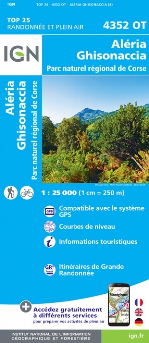
- Aleria - Ghisonaccia - PNR de Corse IGN 4352OT
- Topographic survey of France at 1:25,000 in IGN`s excellent TOP25 / Série Bleue series. All the maps are GPS compatible, with a 1km UTM grid plus latitude and longitude lines at 5’ intervals. Contours are at 5m intervals except for mountainous areas where the maps have contours at 10m intervals, vividly enhanced by hill shading and graphics for... Read more
- Also available from:
- The Book Depository, United Kingdom
- De Zwerver, Netherlands

De Zwerver
Netherlands
Netherlands

Stanfords
United Kingdom
United Kingdom
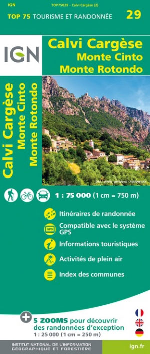
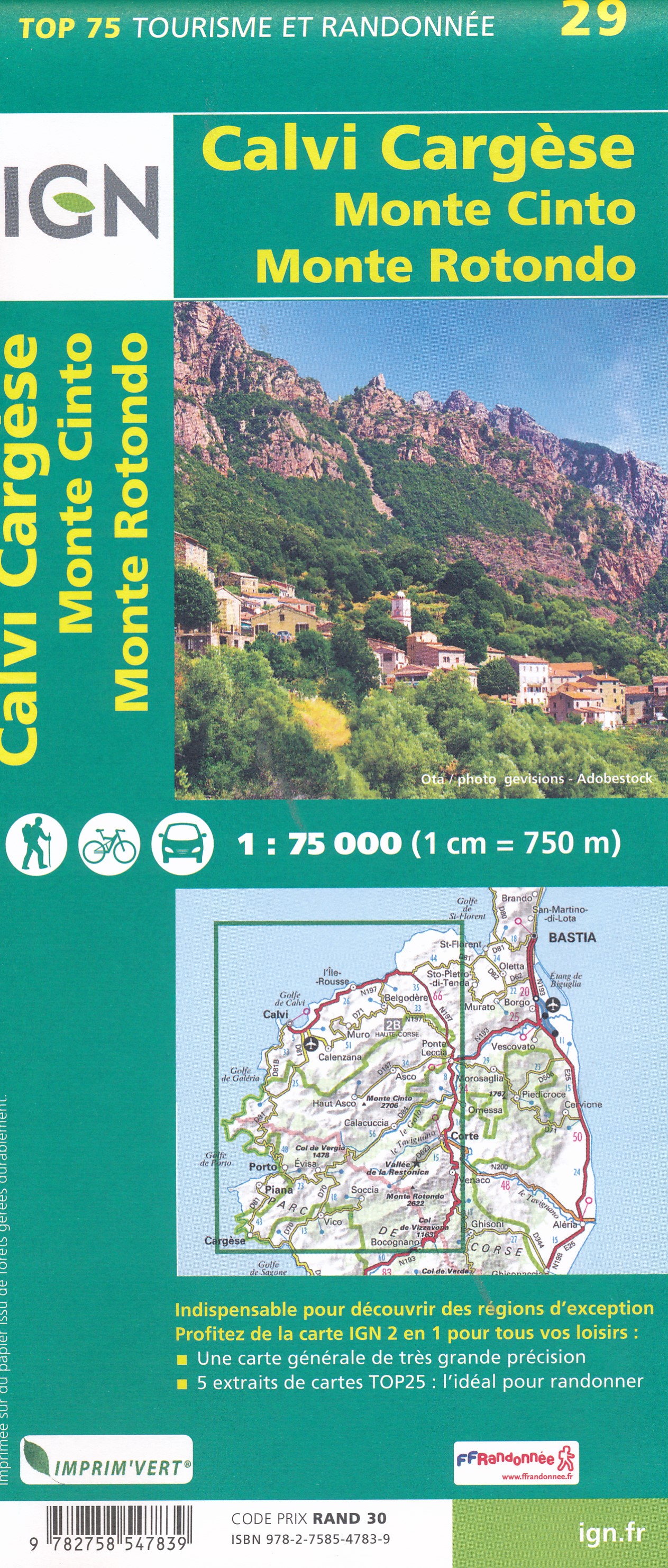
- Calvi - Cargese - Monte Cinto - Monte Rotondo IGN 75029
- TOP75 IGN maps (Tourism & Hiking) are ideal for discovering exceptional regions. Thanks to their ultra-precise mapping at a scale of 1:75,000, you can practice your favorite leisure activities: on foot by bike or by car. These maps include, in addition, 5 extracts of TOP25 at a scale of 1:25,000 for hiking in exceptional natural sites. Read more
- Also available from:
- The Book Depository, United Kingdom
- De Zwerver, Netherlands
De Zwerver
Netherlands
Netherlands