
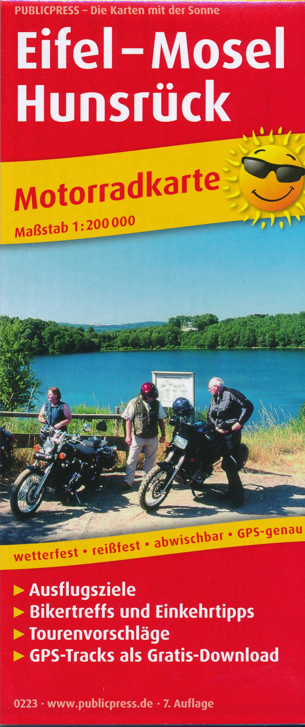
Hunsrück
Description
Low mountain range in Rheinland-Pfalz and Saarland.
Trails in this region
Links
Facts
Reports
Guides and maps
Lodging
Organisations
Tour operators
GPS
Other
Books
De Zwerver
Netherlands
2021
Netherlands
2021
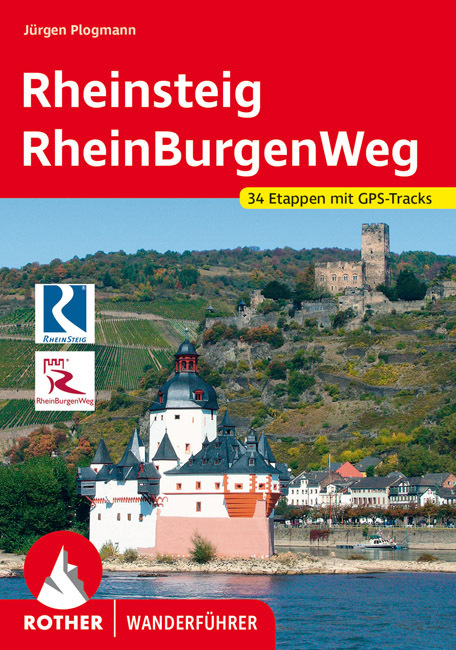
- Wandelgids Rheinsteig mit Rheinburgenweg und Rheinhöhenwegen | Rother Bergverlag
- Der romantische Mittelrhein zwischen Mainz/Wiesbaden und Bonn ist eine der spektakulärsten Landschaften Deutschlands und UNESCO-Welterbe. Neben dem Erleben der Natur trifft der Wanderer am Rhein auf viel Kultur, sehenswerte mittelalterliche Städte und die weltweit größte Burgendichte. In diesem Rother Wanderführer werden die wichtigsten... Read more
De Zwerver
Netherlands
2017
Netherlands
2017
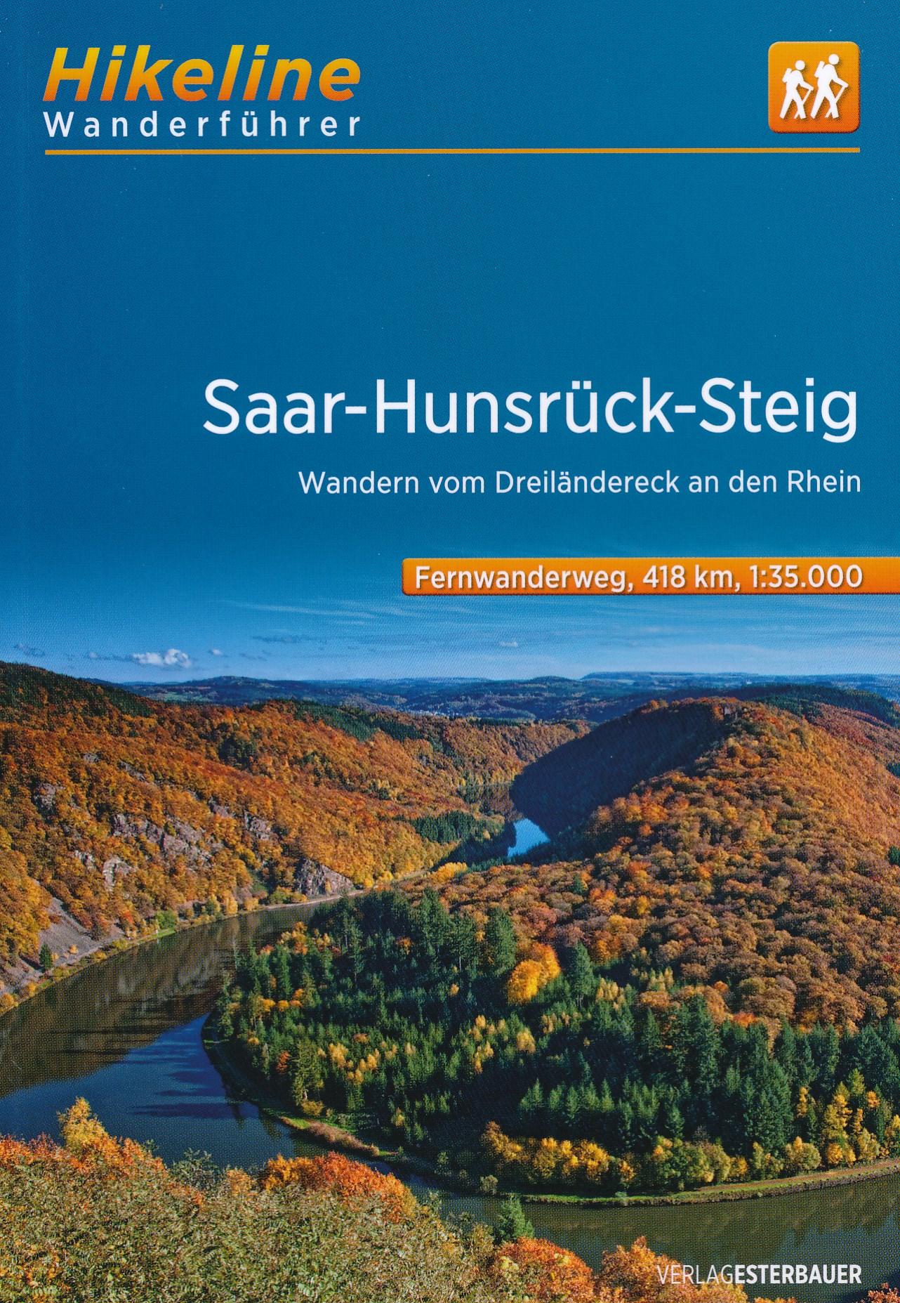
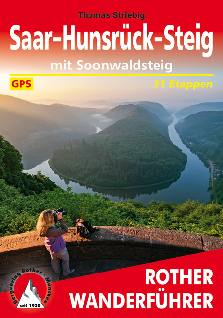
- Wandelgids Hikeline Saar-Hunsrück Steig | Esterbauer
- Handzame gids over de Saar-Hunsrück-Steig met een goede beschrijving van de gehele route. Der Saar-Hunsrück-Steig wurde im Mai 2007 eröffnet und mit dem Deutschen Wandersiegel als Premiumfernwanderweg ausgezeichnet und erfüllt somit die hohen Qualitätskriterien des Deutschen Wanderinstitutes. Europaweit einmalig ist dabei der niedrige Anteil... Read more
De Zwerver
Netherlands
2018
Netherlands
2018
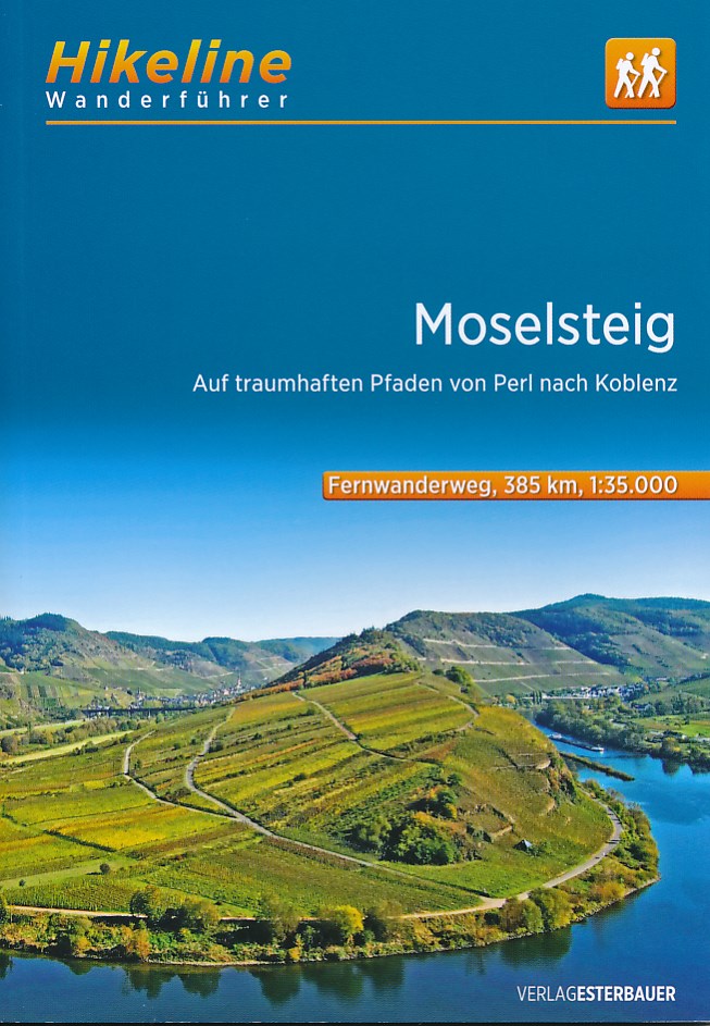
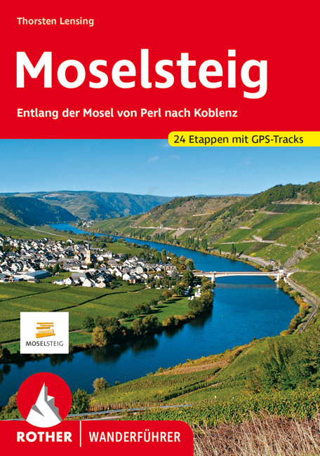
- Wandelgids Hikeline Moselsteig | Esterbauer
- Auf traumhaften Pfaden von Perl nach Koblenz, 365 km. 1. Auflage. Read more
De Zwerver
Netherlands
2015
Netherlands
2015
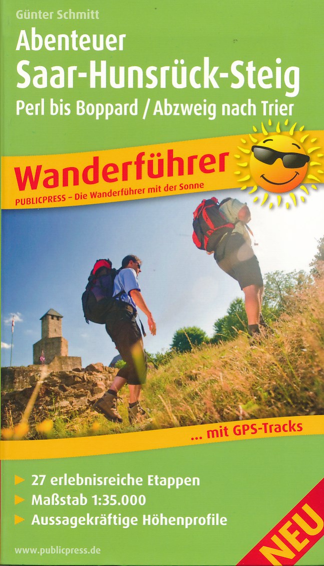
- Wandelgids Abenteuer Saar-Hunsrück-Steig | Publicpress
- Wanderführer mit 27 erlebnisreichen Etappen, Maßstab 1:35 000, aussagekräftigen Höhenprofilen und GPS-Tracks Read more
De Zwerver
Netherlands
2022
Netherlands
2022

De Zwerver
Netherlands
2020
Netherlands
2020
- Wandelkaart - Wandelgids Moselsteig | IdeeMedia
- Complete gids + kaartenset om de Moselsteig te lopen langs de Moezel van Perl bij Schengen via Trier en Cochem naar Koblenz aan de Rijn. Totaal 365 km. Beschrijving van 24 wandeletappes met belangrijke informatie voor onderweg. Detailkaartjes en hoogteprofielen, overnachtingsadressen, bezienswaardigheden. Bij het boek horen 3 topografische... Read more


Bol.com
Netherlands
Netherlands
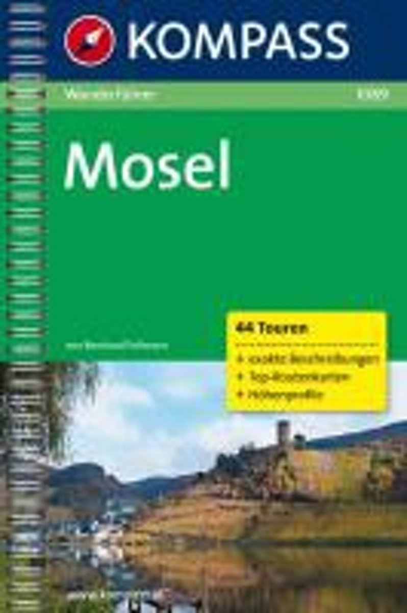
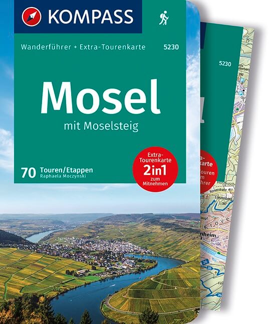
- WF1089 Mosel Kompass
- 44 TourenDe Kompass wandelgids + kaart geeft een overzicht van alle wandelroutes in het gebied met nauwkeurige routeaanwijzingen en hoogteaanduidingen, De extra grote kaart, schaal 1:35 000, is ideaal om van te voren uw route uit te stippelen en om onderweg te gebruiken • naast de bekende bestemmingen, worden ook de minder bekende vermeld •... Read more
- Also available from:
- Bol.com, Belgium
Bol.com
Belgium
Belgium
- WF1089 Mosel Kompass
- 44 TourenDe Kompass wandelgids + kaart geeft een overzicht van alle wandelroutes in het gebied met nauwkeurige routeaanwijzingen en hoogteaanduidingen, De extra grote kaart, schaal 1:35 000, is ideaal om van te voren uw route uit te stippelen en om onderweg te gebruiken • naast de bekende bestemmingen, worden ook de minder bekende vermeld •... Read more
De Zwerver
Netherlands
2012
Netherlands
2012
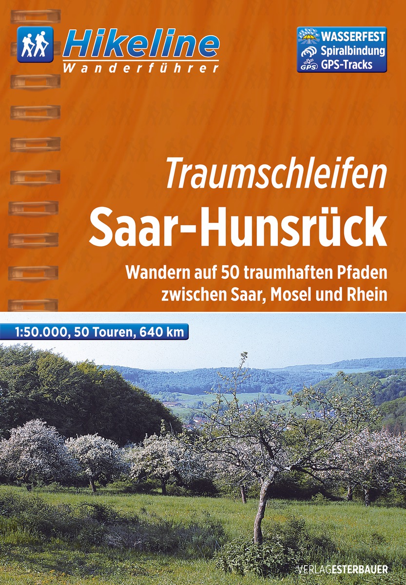
- Wandelgids Hikeline Traumschleifen Saar-Hunsrück | Esterbauer
- Handzame gids met een goede beschrijving van een groot aantal dagtochten in dit gebied. De gids is in spiraalbinding en elke pagina is op scheur- en watervast papier gedrukt. Daar is echt over nagedacht! Der rund 2.000Quadratkilometer große Naturpark Saar-Hunsrück wurde 1980 gegründet und liegt in den Bundesländern Rheinland-Pfalz und Saarland.... Read more
De Zwerver
Netherlands
2020
Netherlands
2020
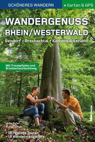
- Wandelgids Wandergenuss Rhein/Westerwald | IdeeMedia
- 365 Kilometer Wandergenuss von Perl bis Koblenz. Smartphone-Anbindung. Aktuellste GPS-Daten Read more
De Zwerver
Netherlands
2024
Netherlands
2024
Maps

Stanfords
United Kingdom
United Kingdom
- Trier and Environs
- Trier and its Environs on a waterproof, tear-resistant, GPS compatible cycling map at 1:75,000 from the ADFC (Allgemeiner Deutscher Fahrrad-Club - the official German cycling federation), in a series of maps with extensive overprint for long-distance and local cycling routes. GPS waypoints, route profiles, details of online links for... Read more

Stanfords
United Kingdom
United Kingdom
- Central Moselle Valley - Trier to Zell K+F Outdoor Map 22
- The central Moselle Valley between Trier and Zell at 1:35,000 from Kümmerly+Frey in a series GPS compatible, double-sided maps printed on durable, waterproof and tear-resistant plastic paper; contoured, with hiking and cycle routes, other recreational activities, etc.Maps in this series are at a scale of either 1:50,000 or 1:35,000. Contour... Read more

Stanfords
United Kingdom
United Kingdom
- Saar-Hunsrück Nature Park (2-map set)
- Saar-Hunsrück Nature Park on a set of two GPS compatible, topographic recreational maps at 1:50,000 from the survey organizations of Rhineland-Palatinate and Saarland with cartography identical to the standard topographic survey of Germany but with additional extensive overprint highlighting local and long-distance hiking trails, cycle routes,... Read more

Stanfords
United Kingdom
United Kingdom
- Saar-Hunsrück Nature Park East
- The eastern part of the Saar-Hunsrück Nature Park on a GPS compatible, topographic recreational map at 1:50,000 from the survey organizations of Rhineland-Palatinate and Saarland with cartography identical to the standard topographic survey of Germany but with additional extensive overprint highlighting local and long-distance hiking trails,... Read more
De Zwerver
Netherlands
Netherlands
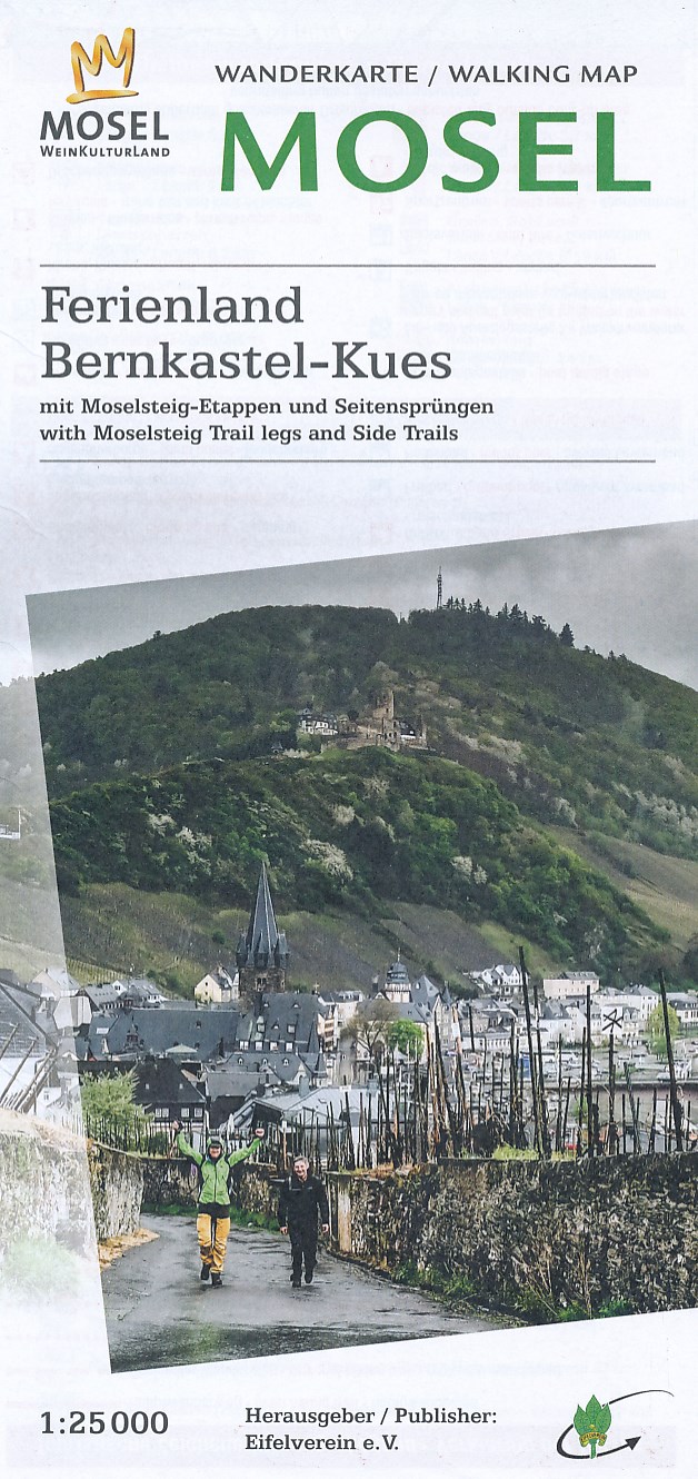
- Wandelkaart 35 Mosel - Ferienland Bernkastel-Kues - Eifel | Eifelverein
- Wandelkaart van een deelgebied van de Eifel. Deze kaarten worden uitgegeven door de zeer actieve Eifelverein. Deze vereniging houdt zich onder andere bezig met de wandelroutes in het gebied: op bijna elke boom in de Eifel vind je wel een teken! De kaarten zijn nauwkeurig en gedetaileerd, met ingetekende wandelroutes maar ook symbolen voor... Read more

Stanfords
United Kingdom
United Kingdom
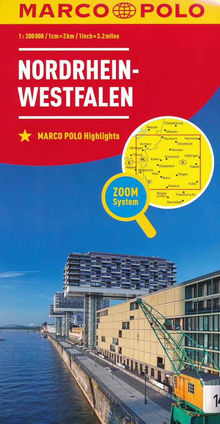
- North Rhine-Westphalia Marco Polo Regional Map 5
- German state of North Rhine-Westphalia on a large, double-sided indexed road map at 1:200,000 in the MairDumont’s Marco Polo series, prominently highlighting interesting locations and protected areas. An index booklet includes city centre street plans plus enlargements at 1:100,000 showing in greater detail the environs with road access to... Read more
- Also available from:
- De Zwerver, Netherlands
Bol.com
Netherlands
Netherlands
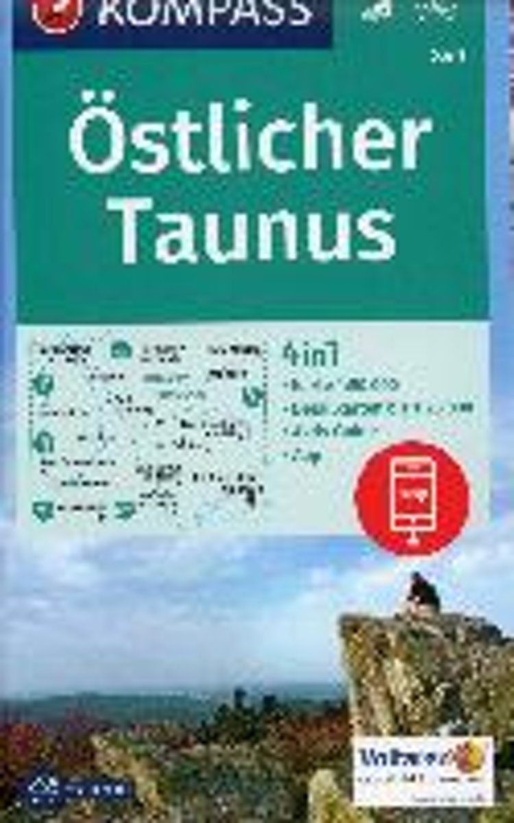
- Östlicher Taunus 1:50 000
- Deze Kompass wandelkaart, schaal 1:50 000, is ideaal om uw route uit te stippelen en om onderweg te gebruiken; naast de bekende bestemmingen, worden ook de minder bekende vermeld; openbaar vervoer bij begin- of eindpunt van een route aangegeven; eenvoudige wandelingen tot pittige (berg)tochten, voor getrainde en ongetrainde wandelaars; met heel... Read more
- Also available from:
- Bol.com, Belgium
Bol.com
Belgium
Belgium
- Östlicher Taunus 1:50 000
- Deze Kompass wandelkaart, schaal 1:50 000, is ideaal om uw route uit te stippelen en om onderweg te gebruiken; naast de bekende bestemmingen, worden ook de minder bekende vermeld; openbaar vervoer bij begin- of eindpunt van een route aangegeven; eenvoudige wandelingen tot pittige (berg)tochten, voor getrainde en ongetrainde wandelaars; met heel... Read more

Stanfords
United Kingdom
United Kingdom
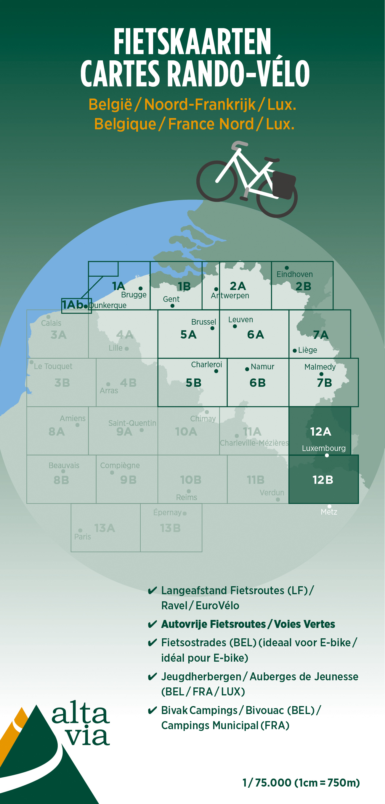
- Eifel - Moselle Cycling Map 14
- Alta Via`s topographical cycling maps emphasize car-free cycling routes or the so-called Voies Vertes (Green Routes), a cycling network that runs through Belgium and Luxembourg. All LF and Ravel cycle routes are included, supplemented with old railways and towpaths that have been transformed into bike paths. The map also lists all youth... Read more
- Also available from:
- De Zwerver, Netherlands

De Zwerver
Netherlands
Netherlands
- Fietskaart 14 Eifel & Moesel | Alta Via
- Alta Via`s topographical cycling maps emphasize car-free cycling routes or the so-called Voies Vertes (Green Routes), a cycling network that runs through Belgium and Luxembourg. All LF and Ravel cycle routes are included, supplemented with old railways and towpaths that have been transformed into bike paths. The map also lists all youth... Read more
De Zwerver
Netherlands
Netherlands
De Zwerver
Netherlands
Netherlands
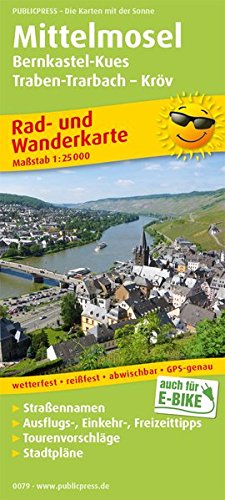
- Fietskaart 079 Mittelmosel | Publicpress
- Mittelmosel, Bernkastel-Kues - Traben-Trarbach - Kröv ab 8 EURO Rad- und Wanderkarte mit Ausflugszielen, Einkehr- & Freizeittipps und Stadtplänen, wetterfest, reissfest, abwischbar, GPS-genau. 1:25000 PUBLICPRESS Rad- und Wanderkarte. 7. Auflage Read more
De Zwerver
Netherlands
Netherlands
- Fietskaart 12 Luxemburg & Moezel | Alta Via
- Alta Via`s topographical cycling maps emphasize car-free cycling routes or the so-called Voies Vertes (Green Routes), a cycling network that runs through Belgium and Luxembourg. All LF and Ravel cycle routes are included, supplemented with old railways and towpaths that have been transformed into bike paths. The map also lists all youth... Read more


Bol.com
Netherlands
Netherlands
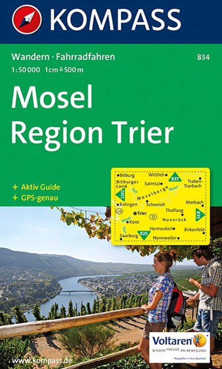
- Kompass WK834 Mosel, Region Trier
- Deze Kompass wandelkaart, schaal 1:50 000, is ideaal om uw route uit te stippelen en om onderweg te gebruiken • naast de bekende bestemmingen, worden ook de minder bekende vermeld • openbaar vervoer bij begin- of eindpunt van een route aangegeven • eenvoudige wandelingen tot pittige (berg)tochten, voor getrainde en ongetrainde wandelaars • met... Read more
- Also available from:
- Bol.com, Belgium
Bol.com
Belgium
Belgium
- Kompass WK834 Mosel, Region Trier
- Deze Kompass wandelkaart, schaal 1:50 000, is ideaal om uw route uit te stippelen en om onderweg te gebruiken • naast de bekende bestemmingen, worden ook de minder bekende vermeld • openbaar vervoer bij begin- of eindpunt van een route aangegeven • eenvoudige wandelingen tot pittige (berg)tochten, voor getrainde en ongetrainde wandelaars • met... Read more